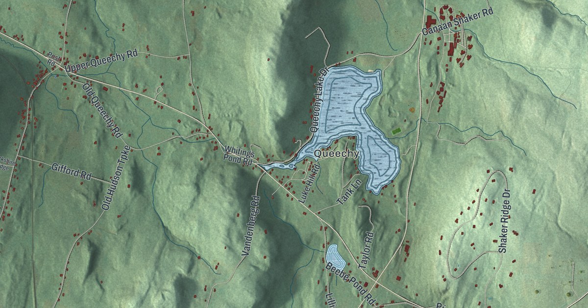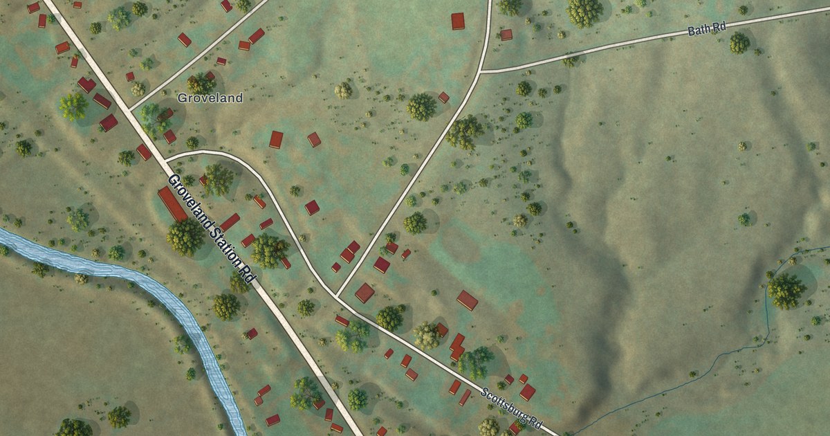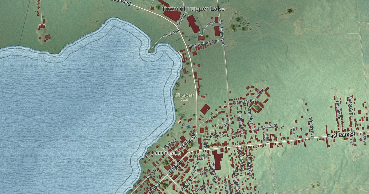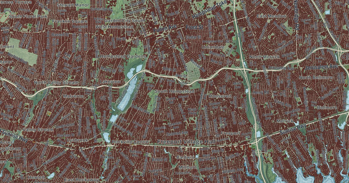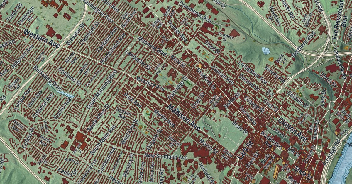
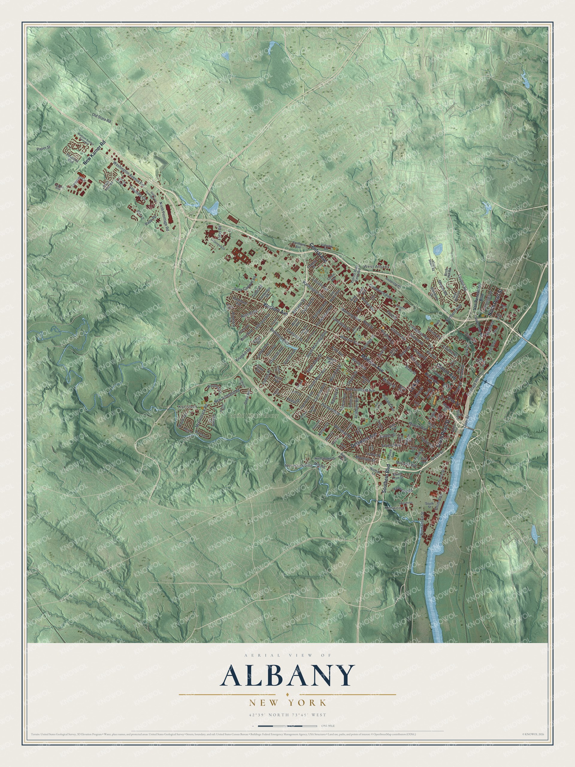
This beautifully detailed map of Albany, New York was created in 2026 using aerial imagery combined with modern topographical, census, street and landmark data. It’s a one-of-a-kind view of Albany that combines accurate data with a vintage aesthetic. The map shows every building in its true location, many of the roads carry their names, and the shaded topographic relief shows the shape of the land.
Explore an aerial view of Albany, New York
On the map you’ll find Karlsfeld, Kenwood, Normansville, and West Albany, along with Pearl Street, Madison Avenue, Central Avenue, Delaware Avenue, Western Avenue, and more. If you look closely you can even find your house accurately drawn in its correct location. Zoom in on the preview to look for yours.
Did You Know?
In 1807 Robert Fulton started a steamboat line between New York City and Albany. It was the first successful business of its kind anywhere in the world. Turnpikes, canals and railroads soon followed. Together they made Albany the main gateway for pioneers heading to Buffalo and Michigan.
Take a closer look at the Albany map
Names on this map
These names are printed on this map.
Places: Karlsfeld, Kenwood, Normansville, West Albany and Capital Hills at Albany.
Streets and roads: North Pearl Street, South Pearl Street, Madison Avenue, Central Avenue, Delaware Avenue, Western Avenue, Southern Boulevard, New Karner Road, Lark Street, Clinton Avenue, Washington Avenue, Broadway.
More street names, A to Z
Academy Road, Albany Shaker Road, Albion Avenue, Alden Avenue, Anderson Drive, Arthur Drive, Aspen Circle, Barclay Street, Beach Avenue, Berkshire Boulevard, Beverly Avenue, Binghampton Street, Birch Hill Road, Boenau Street, Bohl Avenue, Bradford Street, Brevator Street, Briar Avenue, Brookland Avenue, Brookline Avenue, Cambridge Road, Cardinal Avenue, Chapel Street, Charles Boulevard, Church Street, Clermont Street, Colatosti Place, Colby Street, Collins Place, Colonial Avenue, Colonie Street, Columbia Circle, Colvin Avenue, Commerce Avenue, Corporate Circle, Cortland Street, Cuyler Avenue, Dana Avenue, Davis Avenue, Daytona Avenue, Dongan Avenue, Dove Street, Eagle Street, East Pitch Pine Road, Elk Street, Elm Street, Erie Boulevard, Erie Street, Euclid Avenue, Everett Road Extended, Fairlawn Avenue, Fairway Court, First Avenue, First Street, Fleetwood Avenue, Forest Avenue, Frisbee Avenue, Frontage Road, Fuller Road, Garden Avenue, Garden Street, Grant Avenue, Green Street, Grove Avenue, Hackett Boulevard, Hansen Avenue, Harding Street, Hartman Road, Hazelhurst Avenue, Hillcrest Avenue, Holland Avenue, Hollywood Avenue, Holmes Court, Home Avenue, Homestead Avenue, Hunter Avenue, Hurst Avenue, Irving Street, Jennings Drive, Keeler Drive, Kelton Court, Kent Street, Kenwood Road, King Avenue, Krank Street, Krumkill Road, Lancaster Street, Lark Drive, Leedale Street, Lenox Avenue, Liberty Street, Liebel Street, Lincoln Avenue, Livingston Avenue, Loudon Road, Loudonville Road, Madison Avenue Extended, Manning Boulevard, Market Street, Marwill Street, McCarty Avenue, McCormack Road, Meadow Lane, Mercer Street, Mill Road, Mill Street, Milner Avenue, Mohican Place, Morris Street, Morton Avenue, Mountain Street, Mount Hope Drive, Myrtle Avenue, New Scotland Avenue, New Scotland Road, Noonan Lane, Normanskill Drive, Normanskill Street, Northern Boulevard, North Ferry Street, North Frontage Road, North Lake Avenue, North Main Avenue, North Street, North Swan Street, Notre Dame Drive, Oak Street, Old State Road, Oneil Road, Ontario Street, Orange Street, Paper Street, Park Avenue, Park Road, Park Street, Partridge Street, Picotte Drive, Pinehurst Boulevard, Pine Lane, Pitch Pine Road, Prospect Street, Quail Street, Quay Street, Ramsey Place, Rapp Road, Renodin Drive, Road Street, Robin Street, Rose Court, Rosemary Drive, Russell Road, Saint Agnes Lane, Second Avenue, Second Street, Shaker Road, Sherman Street, Smith Boulevard, South Allen Street, South Dove Street, South Frontage Road, South Main Avenue, South Manning Boulevard, South Street, South Swan Street, Stanford Court, State Street, Suny Campus Road, Swartson Court, Tampa Avenue, Ten Broeck Street, Third Avenue, Third Street, Tivoli Street, Tremont Street, Tricentenial Drive, Tudor Road, Turner Place, Van Buren Avenue, Van Rensselaer Boulevard, Vatrano Road, View Avenue, Warren Street, Washington Avenue Extension, Water Street, West Erie Street, West Street, Whitehall Road, Woodside Drive, Wood Terrace, Yardboro Avenue.
See it on a wall
The Albany map as a framed print. Swipe for more.


This beautifully detailed map of Albany makes an attractive addition to your office, library, or den, and it can even be used to teach children the geography and history of the area. It also makes a great gift for anyone who grew up in Albany or moved away. When you’re done exploring, click here to get your copy of the Albany map.