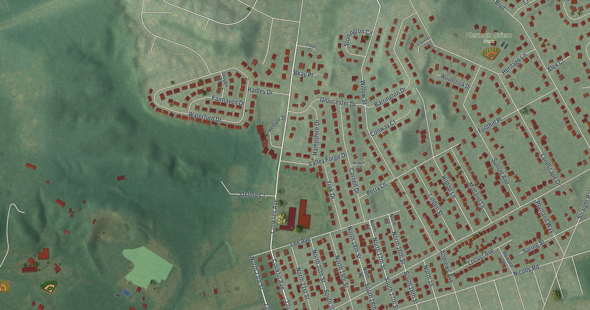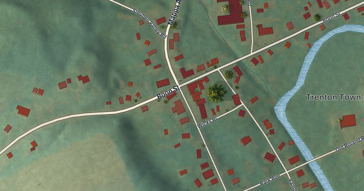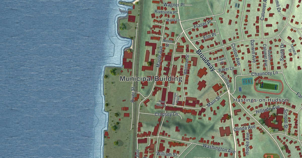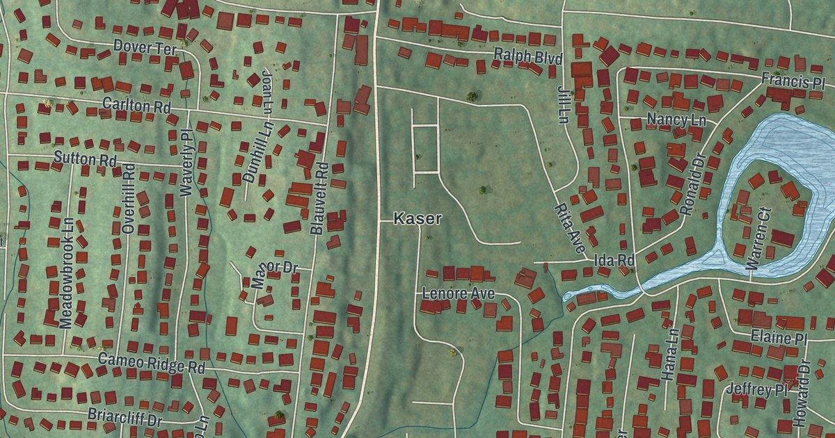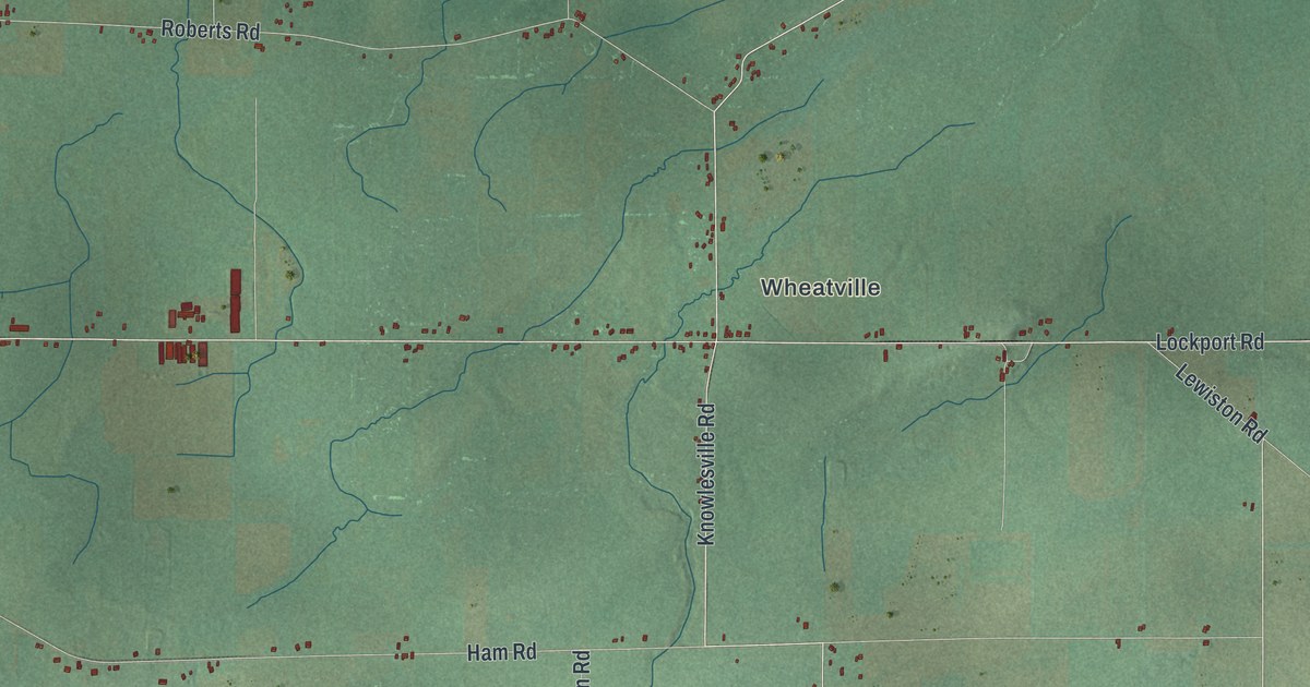
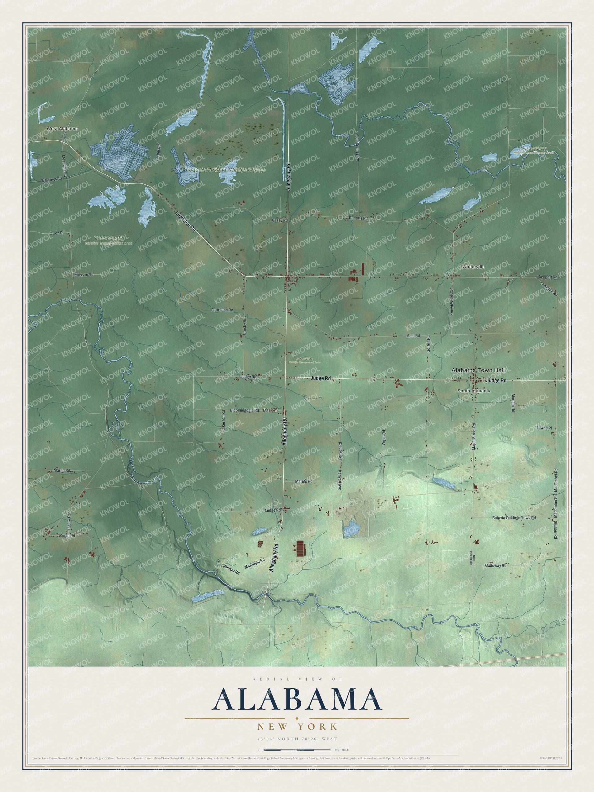
This beautifully detailed map of Alabama, New York was created in 2026 using aerial imagery combined with modern topographical, census, street and landmark data. It’s a one-of-a-kind view of Alabama that combines accurate data with a vintage aesthetic. The map shows every building in its true location, many of the roads carry their names, and the shaded topographic relief shows the shape of the land.
Explore an aerial view of Alabama, New York
On the map you’ll find Alabama Town Hall, West Alabama, Basom, Wheatville, South Alabama, Iroquois National Wildlife Refuge, John White Wildlife Management Area, Oak Orchard Wildlife Management Area, and Tonawanda Wildlife Management Area, along with Alleghany Road, Lewiston Road, Judge Road, Knowlesville Road, and more. If you look closely you can even find your house accurately drawn in its correct location. Zoom in on the preview to look for yours.
Did You Know?
This Genesee County town was formed in 1826 from parts of Pembroke and Shelby. At first it was called Gerrysville, after Vice President Elbridge Gerry. In 1828 it took the name Alabama, after the southern state. Settlers had first arrived around 1806.
Take a closer look at the Alabama map
Names on this map
These names are printed on this map.
Places: Alabama Town Hall, West Alabama, Basom, Wheatville, South Alabama, Iroquois National Wildlife Refuge, John White Wildlife Management Area, Oak Orchard Wildlife Management Area and Tonawanda Wildlife Management Area.
Streets and roads: Alleghany Road, Lewiston Road, Judge Road, Knowlesville Road, Maple Street Road, Owen Road, Ledge Road, Kenyon Avenue, Macomber Road, Macumber Road, Ham Road, Gorton Road.
More street names, A to Z
Ackerson Road, Batavia Oakfield Town Road, Bloomingdale Road, Casey Road, Church Street, Crosby Road, Feeder Road, Galloway Road, Kenyon Road, Klossen Road, Lockport Road, Marble Road, Martin Road, McAlpine Road, Meadville Road, Meiser Road, Morgan Road, North Pembroke Road, Patterson Road, Roberts Road, Salt Works Road, Slusser Road, Sour Springs Road, Tesnow Road, Towne Place, Wagoner Road, Wight Road, Wright Road.
See it on a wall
The Alabama map as a framed print. Swipe for more.


This beautifully detailed map of Alabama makes an attractive addition to your office, library, or den, and it can even be used to teach children the geography and history of the area. It also makes a great gift for someone who left Alabama and still calls it home. When you’re done exploring, click here to get your copy of the Alabama map.