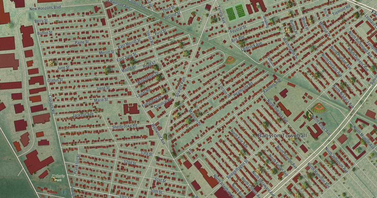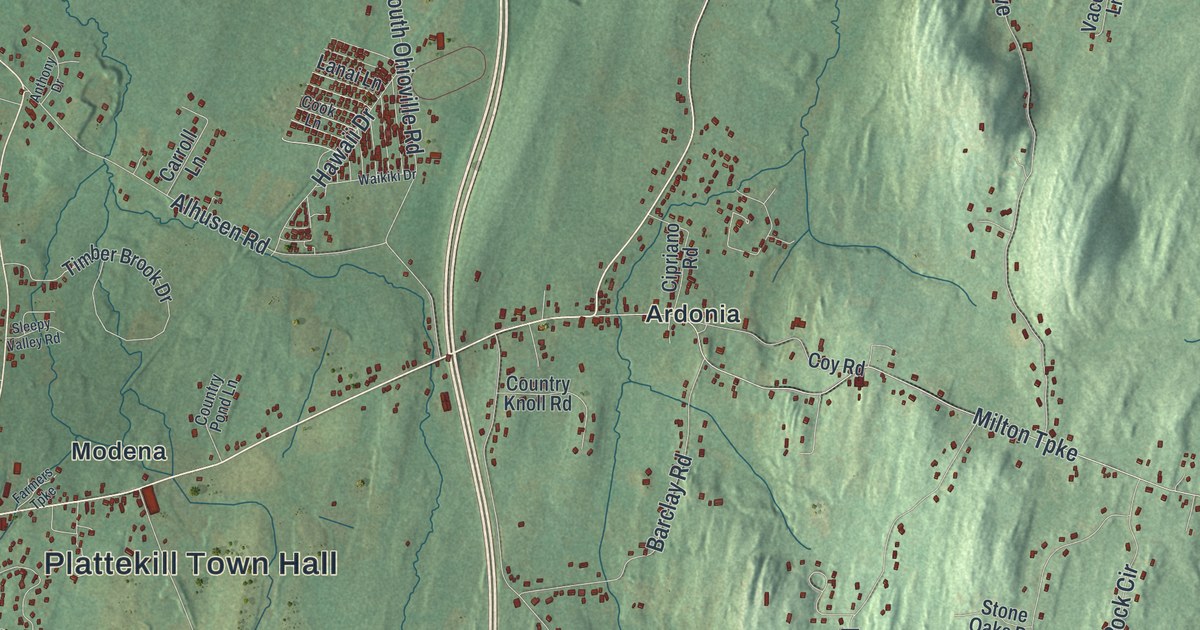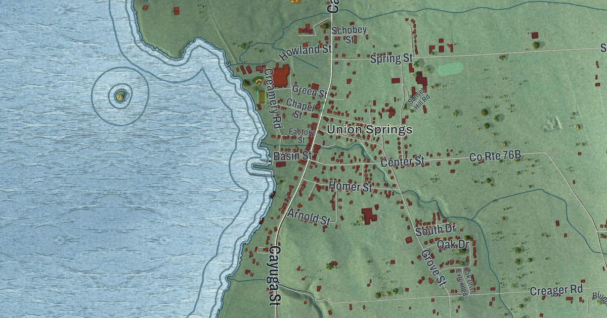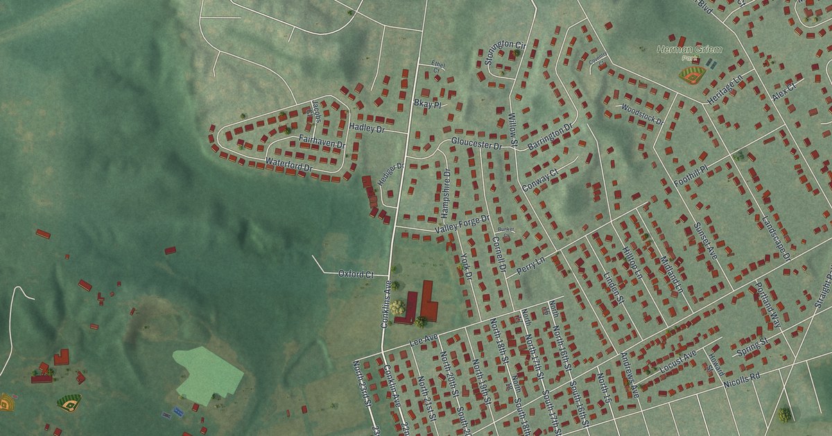
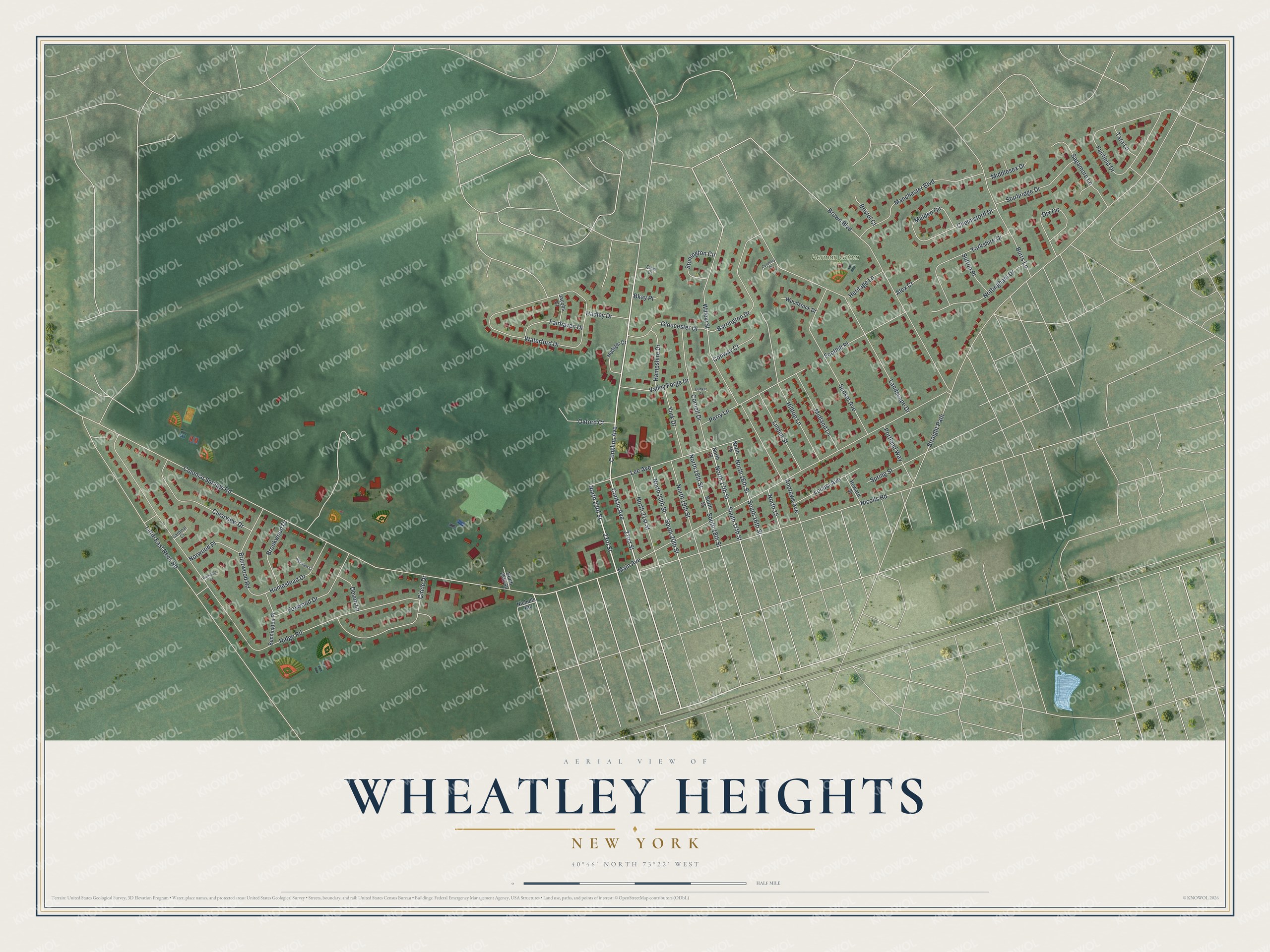
This beautifully detailed map of Wheatley Heights, New York was created in 2026 using aerial imagery combined with modern topographical, census, street and landmark data. It's a modern aerial view of Wheatley Heights in Suffolk County, New York, that combines modern data with a vintage aesthetic. The roads feature printed names, and if you look closely you can find your exact house accurately shown in its correct location.
Explore an aerial view of Wheatley Heights, New York
On this map you'll find Herman Griem Park, Conklin Avenue, Conklins Avenue, 22nd Street, 23rd Street, North 23rd Street, North 17th Street, South 17th Street, Colonial Springs Road, Straight Path, Main Avenue, Ridge Road, and more. Each red shape is a building, so zoom in on the preview and look for yours.
Wheatley Heights is a community in Suffolk County. The Census Bureau counted 5,140 people here in 2020. The map prints the town name in its title panel, with the coordinates below it.
Take a closer look at the Wheatley Heights map
Names on this map
These names are printed on this map.
Places: Herman Griem Park.
Streets and roads: Conklin Avenue, Conklins Avenue, 22nd Street, 23rd Street, North 23rd Street, North 17th Street, South 17th Street, Colonial Springs Road, Straight Path, Main Avenue, Ridge Road, Little East Neck Road.
More street names, A to Z
Alex Court, Andrews Avenue, Barrington Drive, Bennington Place, Bkay Place, Briarwood Road, Bristol Court, Brookwood Drive, Brown Boulevard, Bunker Court, Burndale Court, Burrs Lane, Cardinal Court, Chelmsford Drive, Circle Drive, Clearview Drive, Conway Court, Cornell Drive, Coventry Court, Devon Lane, Dix Circle, Ethel Court, Fairfield Drive, Fairhaven Drive, Foothill Place, Foxwood Drive, Gloucester Drive, Hadley Drive, Hampshire Drive, Hediger Drive, Heritage Lane, Highview Court, Hilltop Lane, Homestead Drive, Howard Street, Jacobs Court, Landscape Drive, Lee Avenue, Linden Street, Locust Avenue, Malden Circle, Manchester Boulevard, Middlesex Drive, Midland Lane, Nicholls Road, Nicolls Road, North 15, North 16, North 16th Street, North 17, North 18, North 18th Street, North 19th Street, North 20th Street, North 21st Street, North 28th Street, Norwood Place, Nottingham Drive, Oxford Court, Perry Lane, Portland Way, Sagamore Lane, South 16th Street, South 18th Street, South 20th Street, Spring Street, Stonington Circle, Sturbridge Drive, Sunset Avenue, Sutton Place, Tara Lane, Valley Forge Drive, Waterford Drive, Willow Street, Woodstock Drive, York Drive, Yorkshire Drive.
See it on a wall
The Wheatley Heights map as a framed print. Swipe for more.


Created by KNOWOL in 2026. The buildings are small red shapes, the roads carry their printed names, and shaded relief shows the shape of the land. The title panel reads "AERIAL VIEW OF WHEATLEY HEIGHTS, NEW YORK" with 40°46' NORTH 73°22' WEST.
Hang it in the hallway, the office or the cabin, or give it to someone who left Wheatley Heights and still calls it home. Open the preview and look for a street you know. See sizes and frames for the Wheatley Heights map.