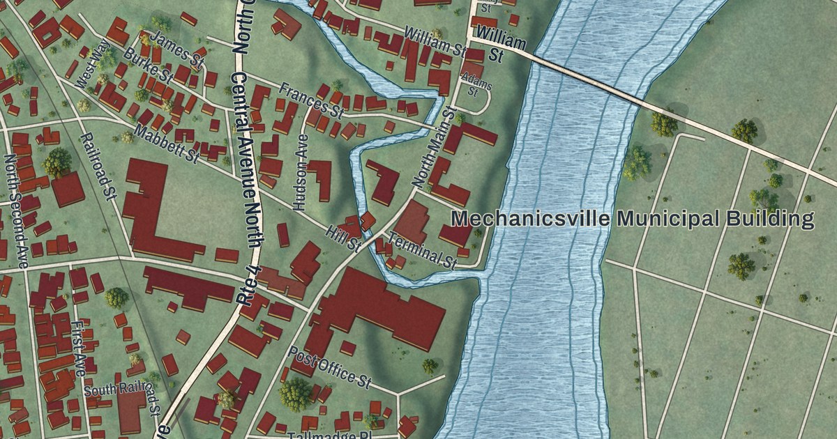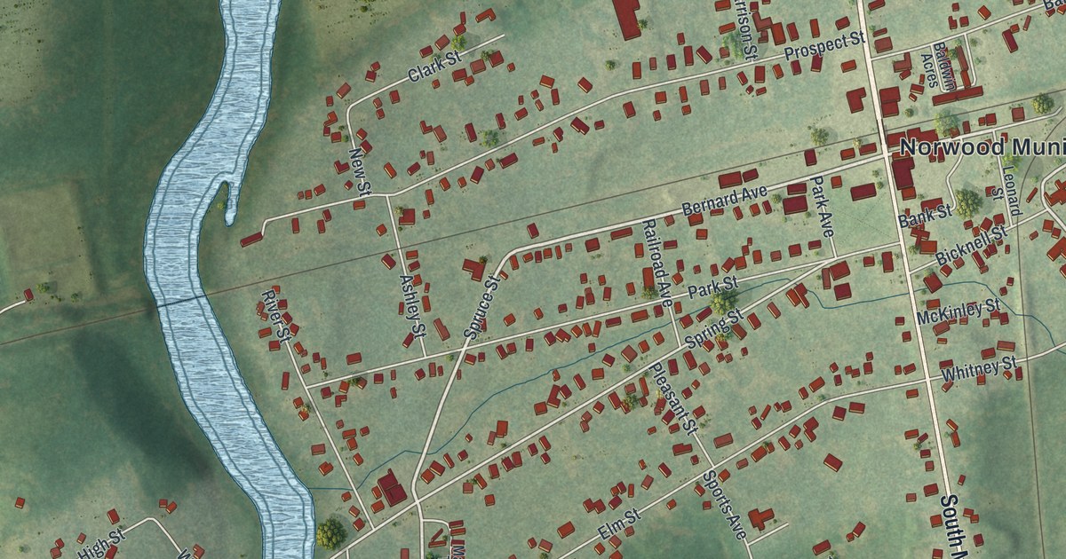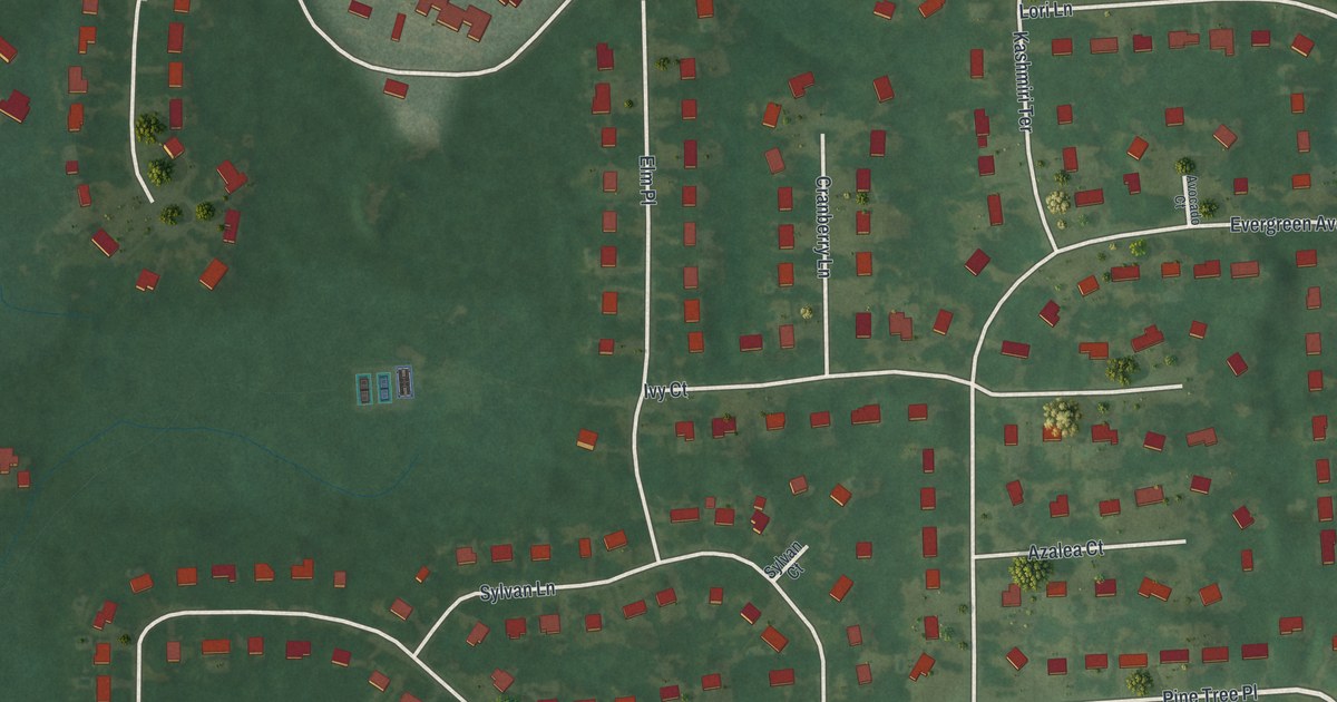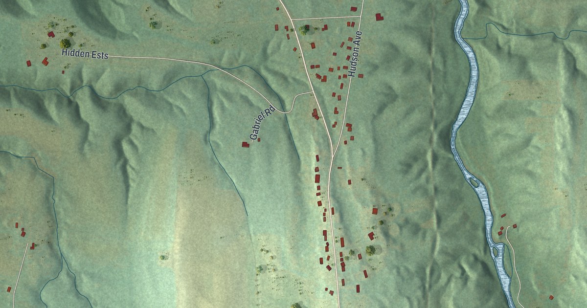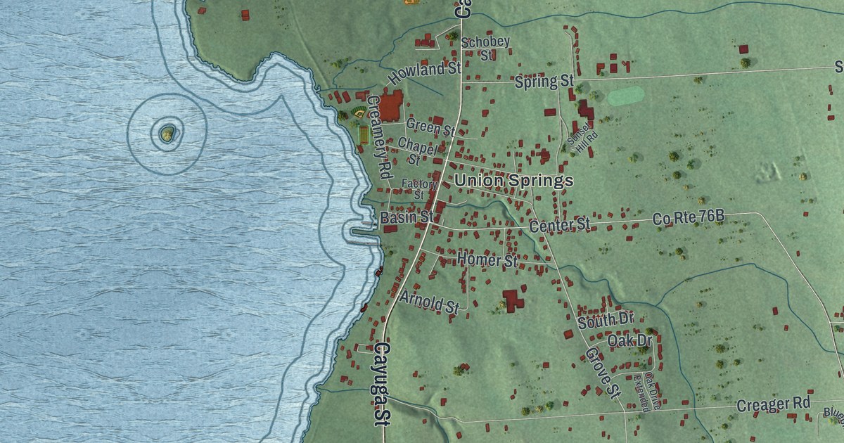
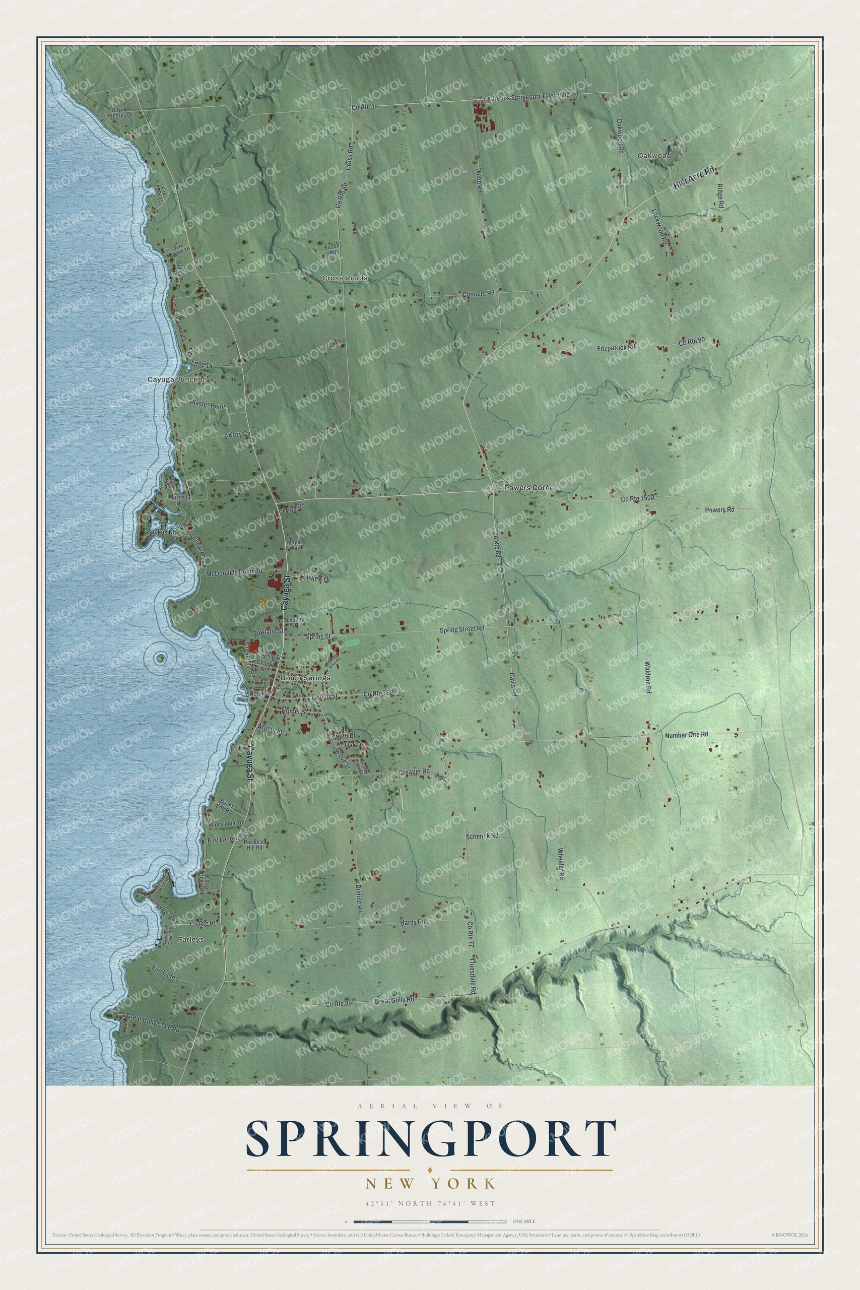
This beautifully detailed map of Springport, New York was created in 2026 using aerial imagery combined with modern topographical, census, street and landmark data. It’s a one-of-a-kind view of Springport that combines accurate data with a vintage aesthetic. The map shows every building in its true location, many of the roads carry their names, and the shaded topographic relief shows the shape of the land.
Explore an aerial view of Springport, New York
On the map you’ll find Kozy Cv, Oakwood, Farleys, Cayuga Junction, Cross Roads, and Powers Corner, along with Cayuga Street, Half Acre Road, Powers Road, Davis Road, and more. If you look closely you can even find your house accurately drawn in its correct location. Zoom in on the preview to look for yours.
Did You Know?
Springport took its name from its local springs and lake ports. The land was Cayuga country, and Jesuits opened a mission to the Cayugas in 1688. After the Revolution it was held as a Cayuga reservation until 1789, when the land passed to New York. The town was formed in 1823.
Take a closer look at the Springport map
Names on this map
These names are printed on this map.
Places: Oakwood, Farleys, Cayuga Junction, Cross Roads, Powers Corner and Union Springs.
Streets and roads: Cayuga Street, Half Acre Road, Powers Road, Davis Road, Kozy Cv, Aurelius Springport Town Line Road, Spring Street Road, Grove Street, County Route 90, Great Gully Road, County Route 91, Waldron Road.
More street names, A to Z
Allens Point Road, Arnold Street, Backus Road, Bacon Road, Basin Street, Bluebird Lane, Carrs Cove Road, Cayuga Shores Drive, Center Street, Chapel Street, Conners Road, County Route 77, County Route 88, County Route 89, Creager Road, Creamery Road, Cross Road, Dildine Road, Factory Street, Farley's Point Road, Farleys Point Road, Fire Lane 4, Fire Lane 7, Fire Lane 14, Fire Lane 15, Fire Lane 18, Fire Lane 21, Fitzpatrick Road, Fries Cove Road, Gorwydd Lane, Great Gully Cove Road, Green Street, Hardy Road, Hillview Drive, Homer Street, Howland Street, Lockwood Road, Maple Way, McDonalds Point Road, Morrison Drive, Number One Road, Oak Drive, Oak Drive Extended, Oakwood Road, Old Route 326, Paradise Hill Road, Plaster Point, Ridge Road, Schenck Road, Schobey Street, South Drive, Springport Cv, Spring Street, Sunset Hill Road, Town Line Road, Troys Marina, Truesdale Road, Waves End Road, Webb Road, Wheeler Road.
See it on a wall
The Springport map as a framed print. Swipe for more.


This beautifully detailed map of Springport makes an attractive addition to your office, library, or den, and it can even be used to teach children the geography and history of the area. It also makes a great gift for anyone with Springport roots. When you’re done exploring, click here to get your copy of the Springport map.