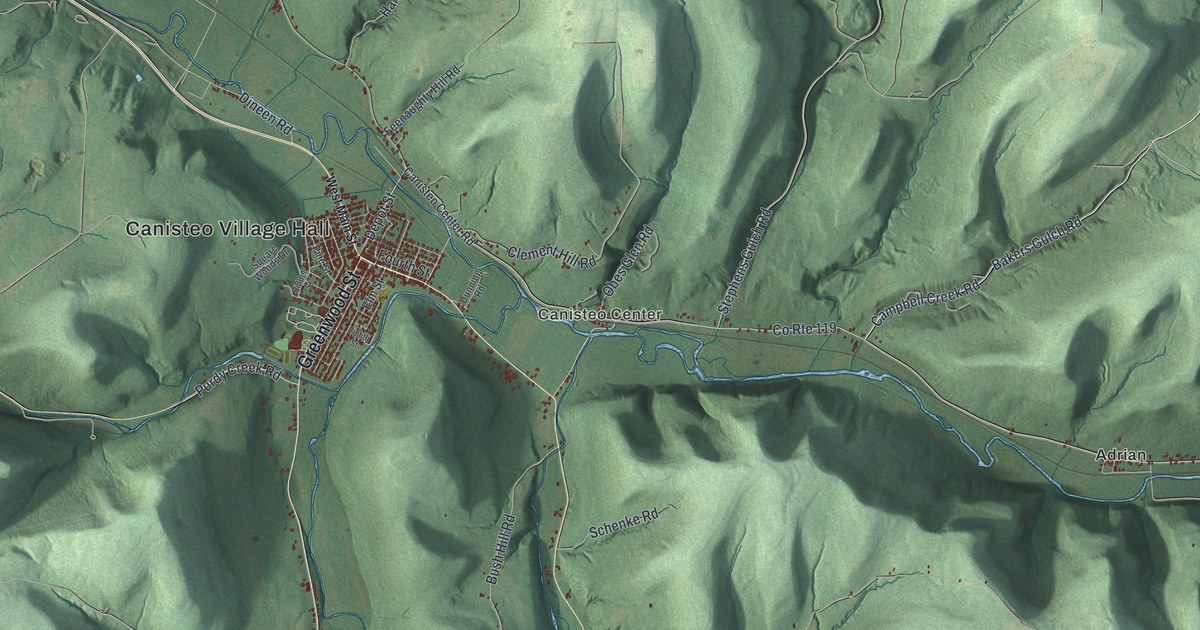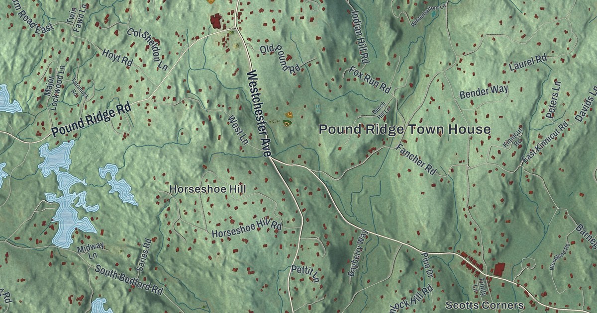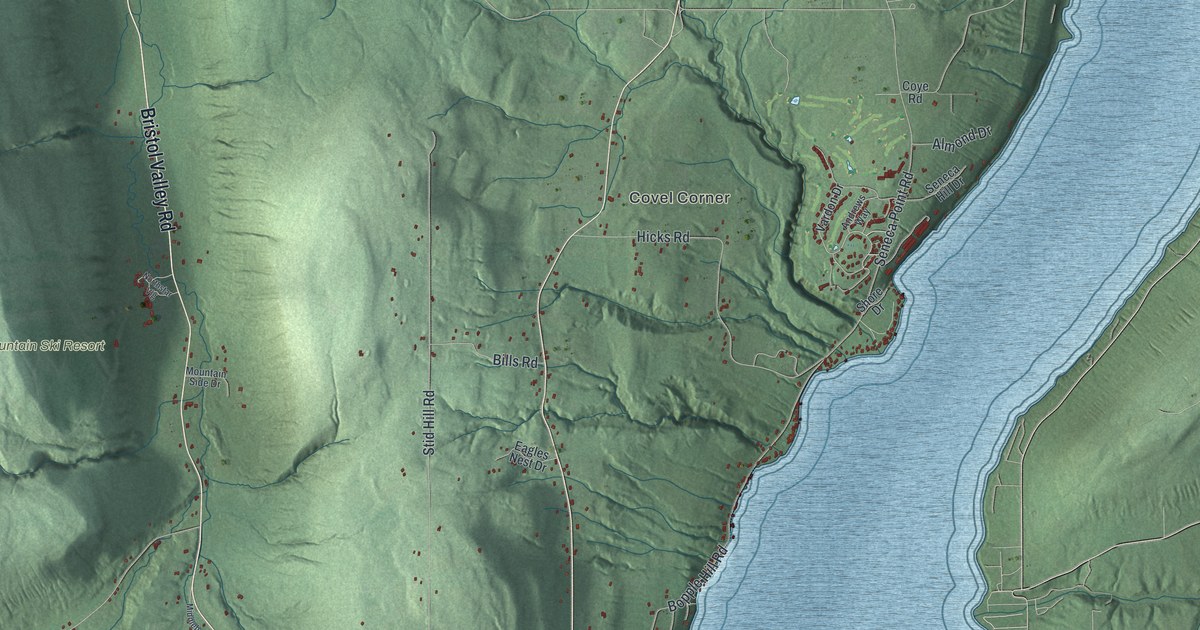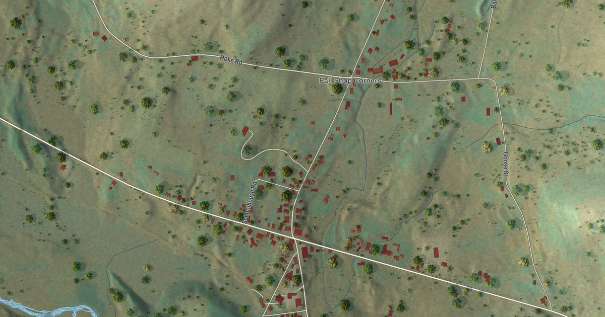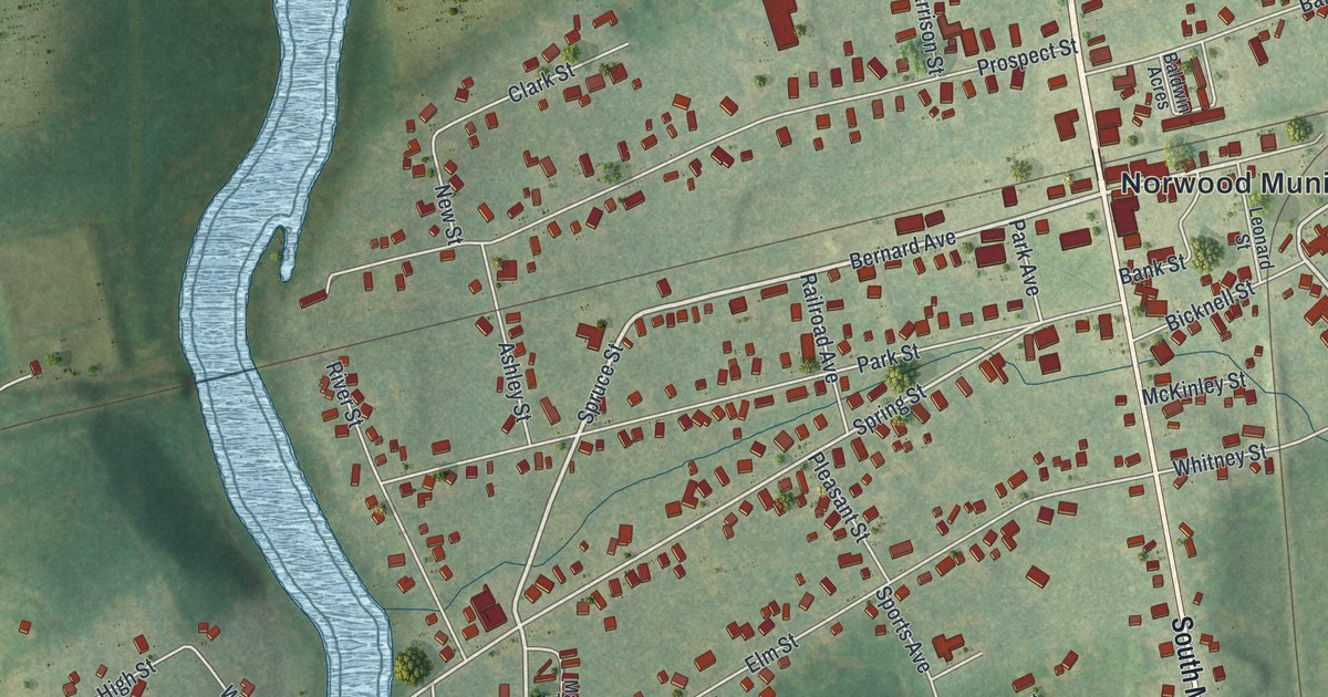
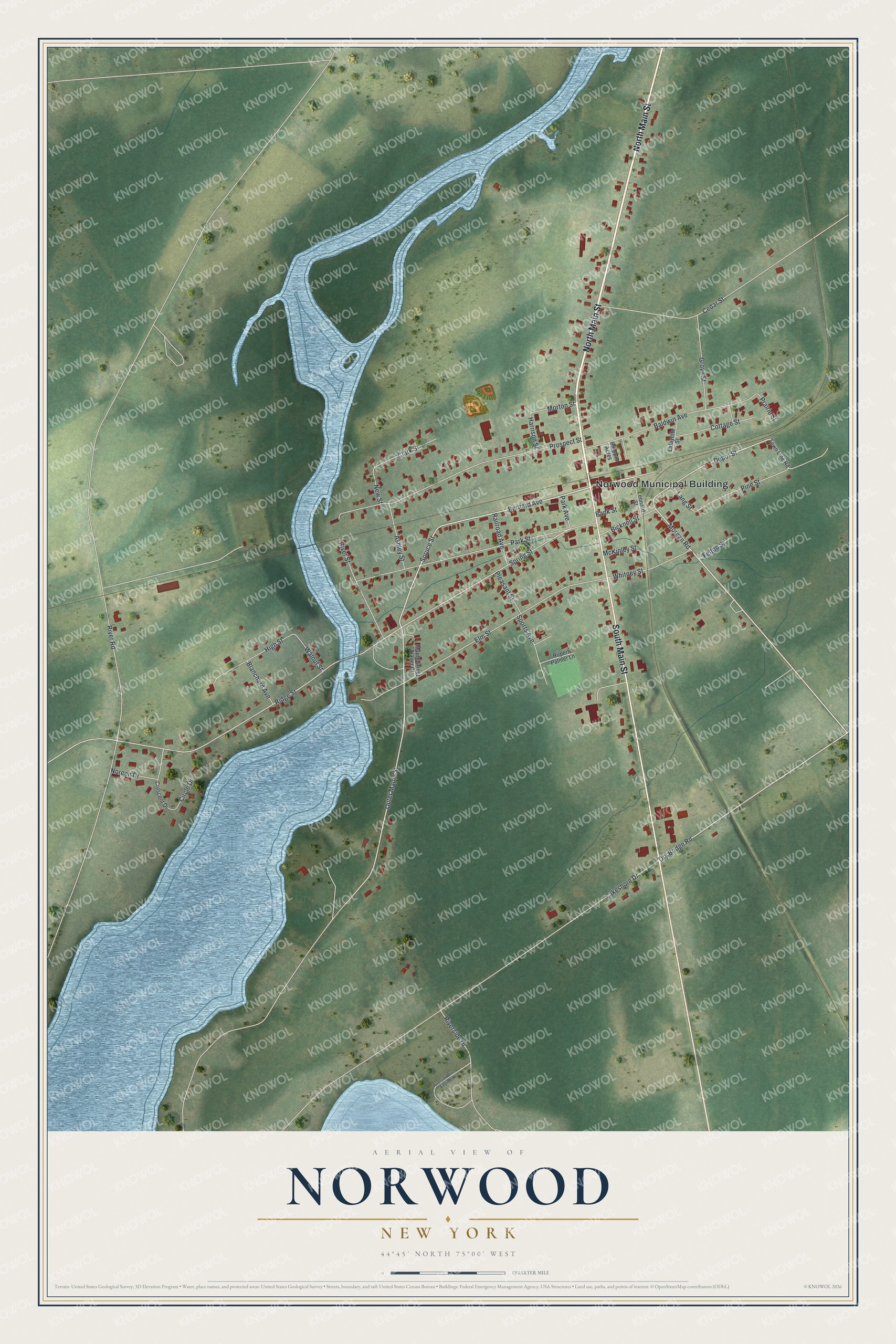
This beautifully detailed map of Norwood, New York was created in 2026 using aerial imagery combined with modern topographical, census, street and landmark data. It's a modern aerial view of Norwood in St. Lawrence County, New York, that combines modern data with a vintage aesthetic. The roads feature printed names, and if you look closely you can find your exact house accurately shown in its correct location.
Explore an aerial view of Norwood, New York
On this map you'll find Norwood Municipal Building, North Main Street, South Main Street, Bernard Avenue, Spruce Street, Morgan Road, Outer Maple Street, Depot Street, Dry Bridge Road, Ridge Street, Spring Street, Lakeshore Drive, and more. Each red shape is a building, so zoom in on the preview and look for yours.
Norwood is a village in St. Lawrence County. The Census Bureau counted 1,552 people here in 2020. Norwood sits about 3 miles south of Norfolk, 5 miles north of Potsdam and 7 miles east of Madrid. The map prints the town name in its title panel, with the coordinates below it.
Take a closer look at the Norwood map
Names on this map
These names are printed on this map.
Places: Norwood Municipal Building.
Streets and roads: North Main Street, South Main Street, Bernard Avenue, Spruce Street, Morgan Road, Outer Maple Street, Depot Street, Dry Bridge Road, Ridge Street, Spring Street, Lakeshore Drive, Elm Street.
More street names, A to Z
Ashley Street, Baldwin Acres, Baldwin Avenue, Bank Street, Bicknell Street, Blanchard Avenue, Cedar Street, Circle Drive, Clark Street, Cottage Street, Crescent Drive, Felton Street, Grove Street, Harrison Street, High Street, Lafayette Street, Lang Street, Leonard Street, Maple Street Trailer Court, McKinley Street, Morton Street, New Street, Noreen Drive, Park Avenue, Park Street, Pine Street, Pleasant Street, Prairie Street, Prospect Street, Railroad Avenue, River Road, Riverside Drive, Riverside Drive Extended, River Street, Rupert Palmer Lane, Sports Avenue, Town Line Road, Walnut Street, Whitney Street.
See it on a wall
The Norwood map as a framed print. Swipe for more.


Created by KNOWOL in 2026. The buildings are small red shapes, the roads carry their printed names, and shaded relief shows the shape of the land. The title panel reads "AERIAL VIEW OF NORWOOD, NEW YORK" with 44°45' NORTH 75°00' WEST.
It suits a den, a classroom or a front hall, and it makes a gift for anyone with Norwood roots. Open the preview and find the block you know. See sizes and frames for the Norwood map.