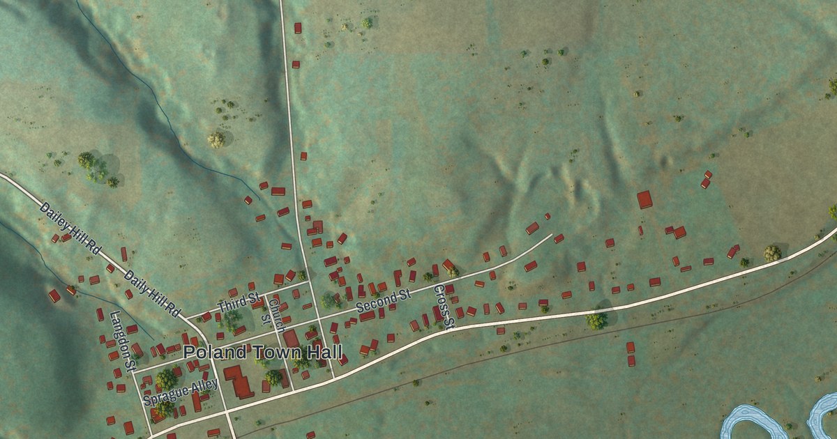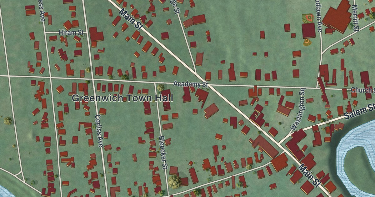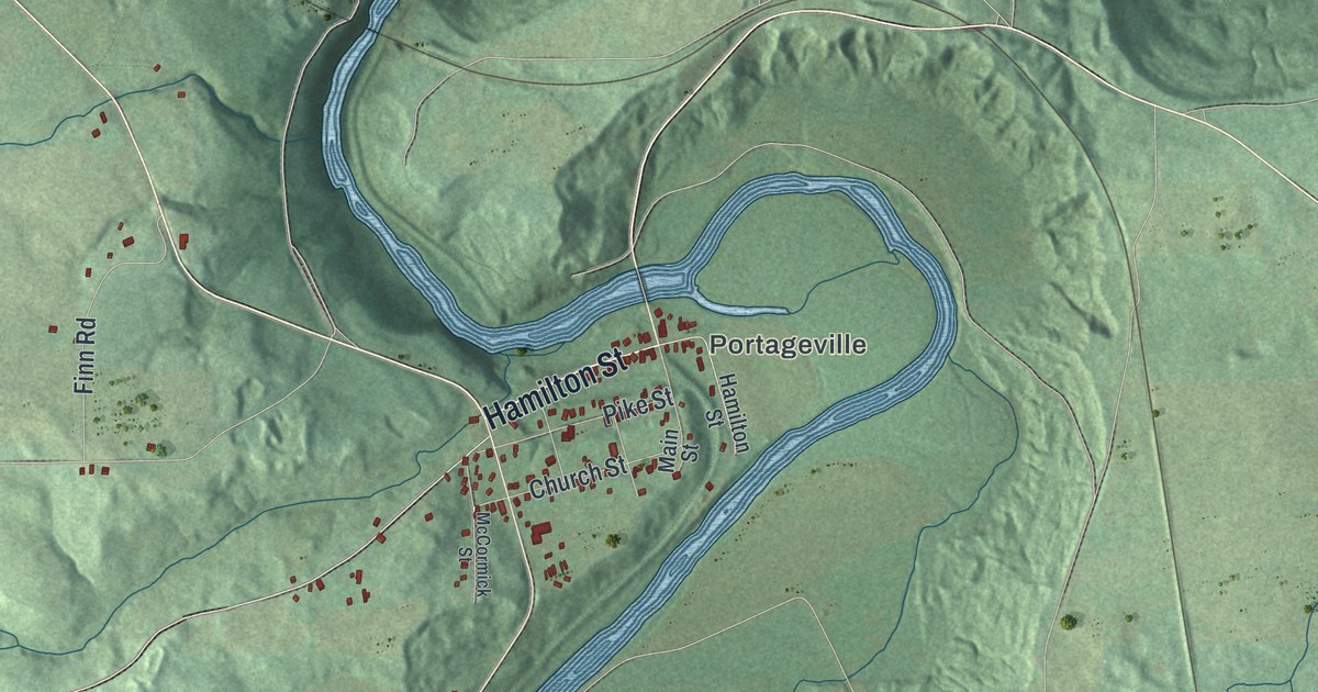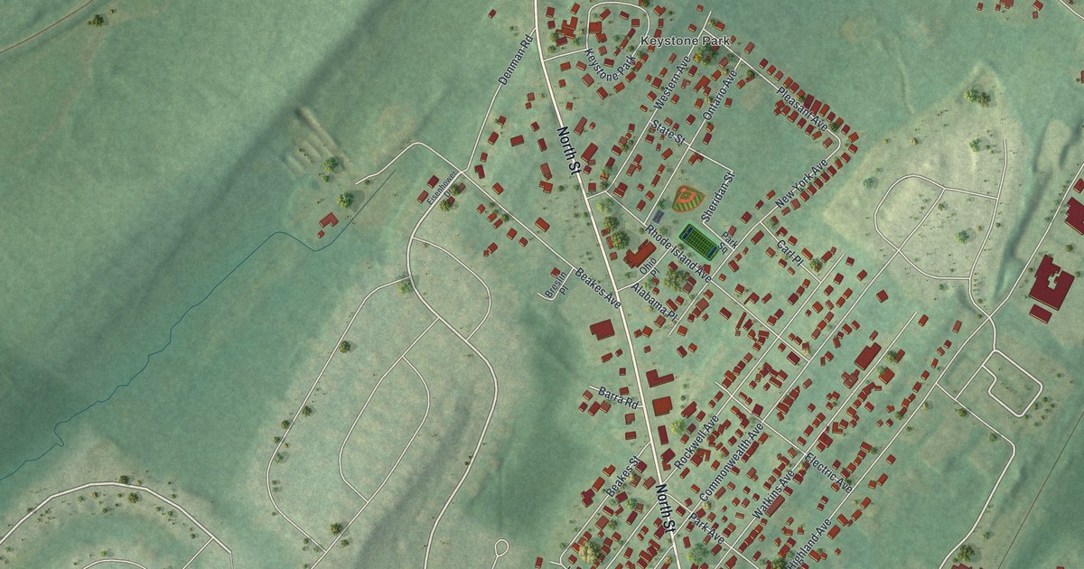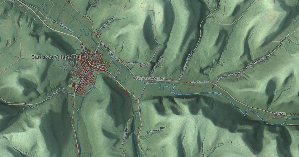
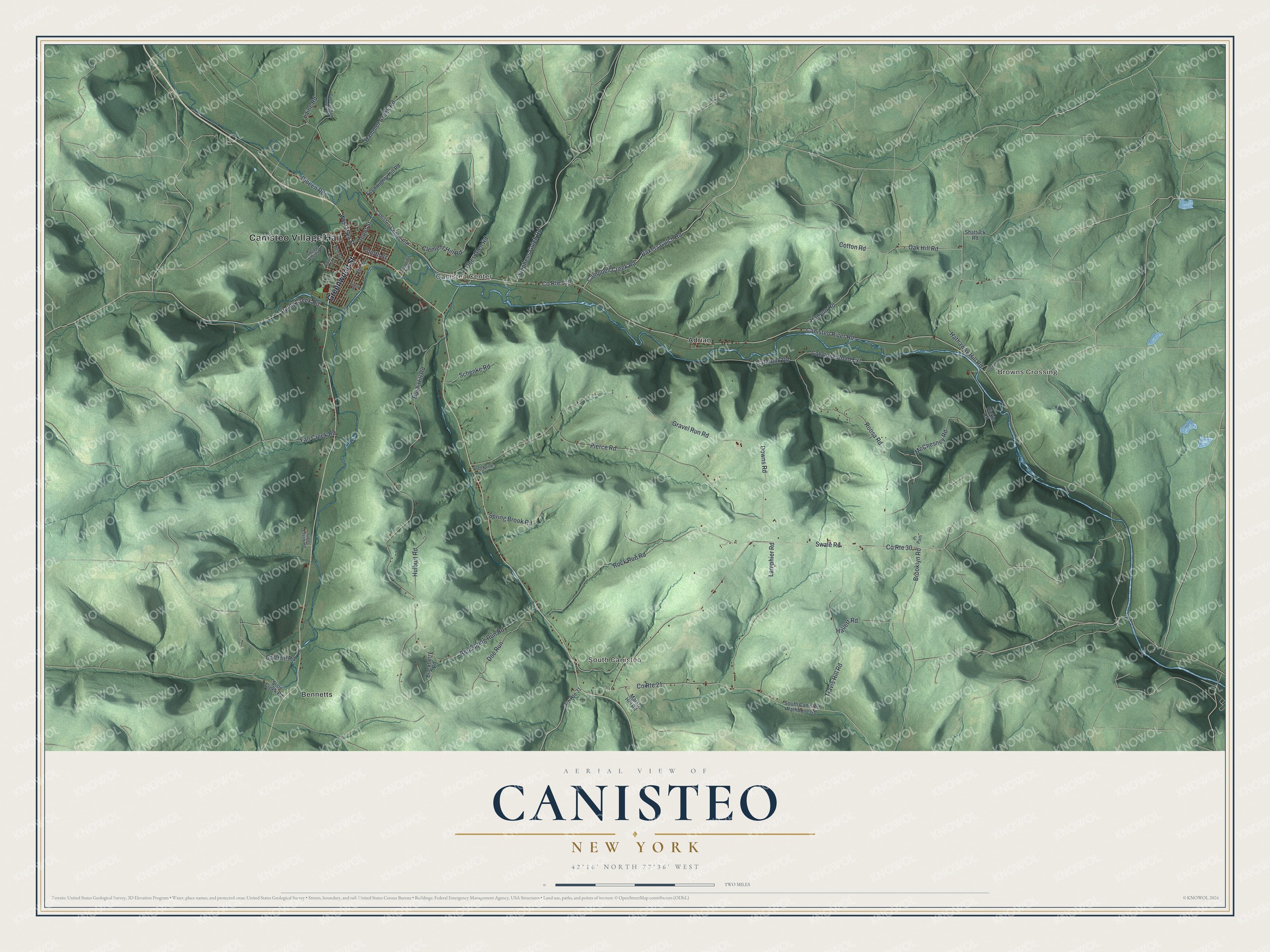
This beautifully detailed map of Canisteo, New York was created in 2026 using aerial imagery combined with modern topographical, census, street and landmark data. It’s a one-of-a-kind view of Canisteo that combines accurate data with a vintage aesthetic. The map shows every building in its true location, many of the roads carry their names, and the shaded topographic relief shows the shape of the land.
Explore an aerial view of Canisteo, New York
On the map you’ll find Canisteo Village Hall, Browns Crossing, South Canisteo, Canisteo Center, Adrian, and Bennetts, along with Greenwood Street, Main Street, Bakers Gulch Road, Depot Street, and more. If you look closely you can even find your house accurately drawn in its correct location. Zoom in on the preview to look for yours.
Did You Know?
The Seneca once had a major settlement on this site, Kah-nis-ti-oh, and the town took its name from it. Settlers arrived around 1788, among the earliest in the county. Many came up from Pennsylvania by way of the Susquehanna River. Canisteo was formed in 1796 as one of the county’s original towns.
Take a closer look at the Canisteo map
Names on this map
These names are printed on this map.
Places: Canisteo Village Hall, Browns Crossing, South Canisteo, Canisteo Center, Adrian and Bennetts.
Streets and roads: Greenwood Street, Bakers Gulch Road, Depot Street, Brooklyn Road, Campbell Creek Road, Oak Hill Road, Clement Hill Road, Canisteo River Road, County Route 119, Bush Hill Road, Swale Road, County Route 21.
More street names, A to Z
Blackberry Road, Call Hill Road, Canisteo Center Road, Catatunk Road, Catatunk Road Extension, Cotton Road, County Route 30, County Route 31, Creekside Drive, Cunningham Creek Road, Dickie Road, Dineen Road, Doe Run, Downs Road, Dunning Road, Eighth Street, Elm Street, Fall Creek Road, Feenaughty Hill Road, Fourth Street, Gravel Run Road, Hallett Road, Hammer Creek Road, Hanyon Road, Hathaway Hill Road, Hulburt Road, Laine Road, Lamphier Road, Marsh Hill Road, McChesney Road, Obes Glen Road, Oregon Road, Pierce Road, Pine Street, Pr Path, Purdy Creek Road, Red Spring Run Road, Riddell Street, Rock Run Road, Roosa Road, Schenke Road, Shattuck Road, Slate Creek Road, South Canisteo Rathbone Road, Spring Brook Road, Square Woods Drive, Stephens Gulch Road, Sugar Creek Road, Travis Hill Road, West Main Street.
See it on a wall
The Canisteo map as a framed print. Swipe for more.


This beautifully detailed map of Canisteo makes an attractive addition to your office, library, or den, and it can even be used to teach children the geography and history of the area. It also makes a great gift for anyone who grew up in Canisteo or moved away. When you’re done exploring, click here to get your copy of the Canisteo map.