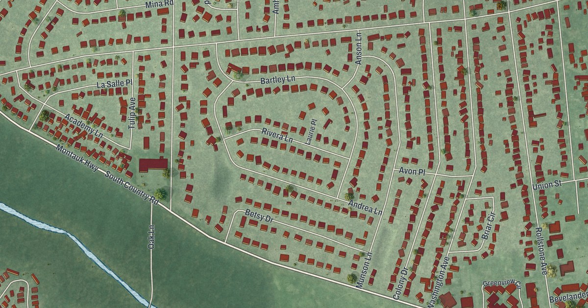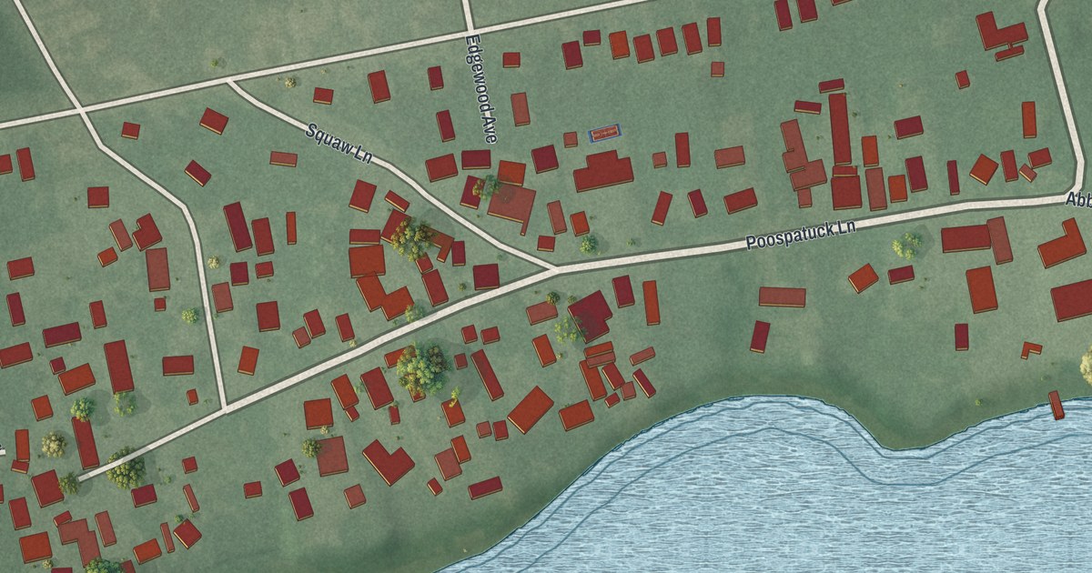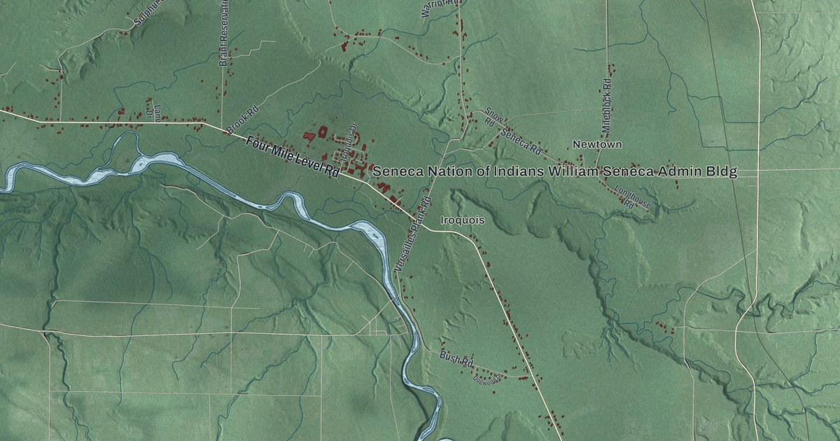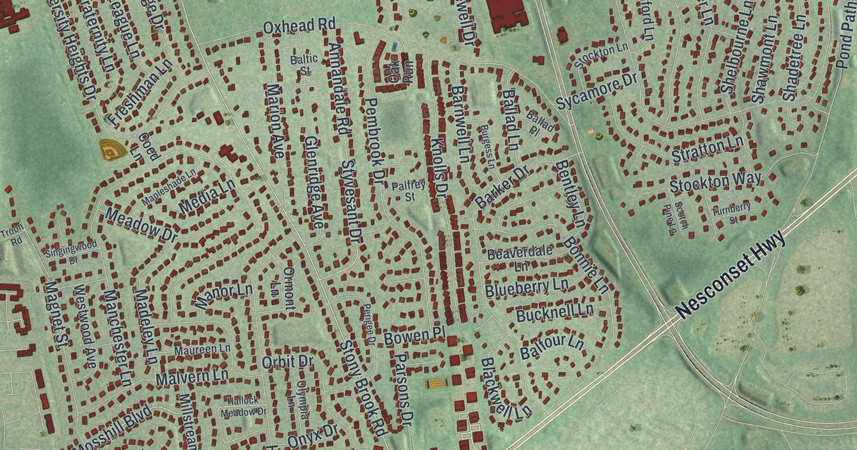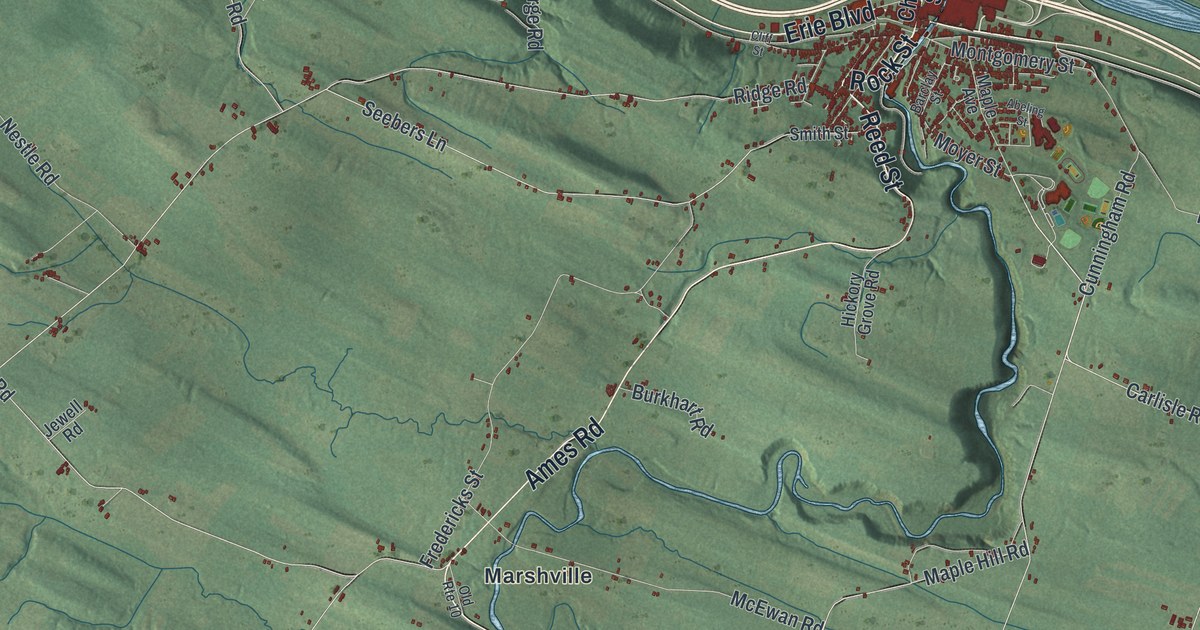
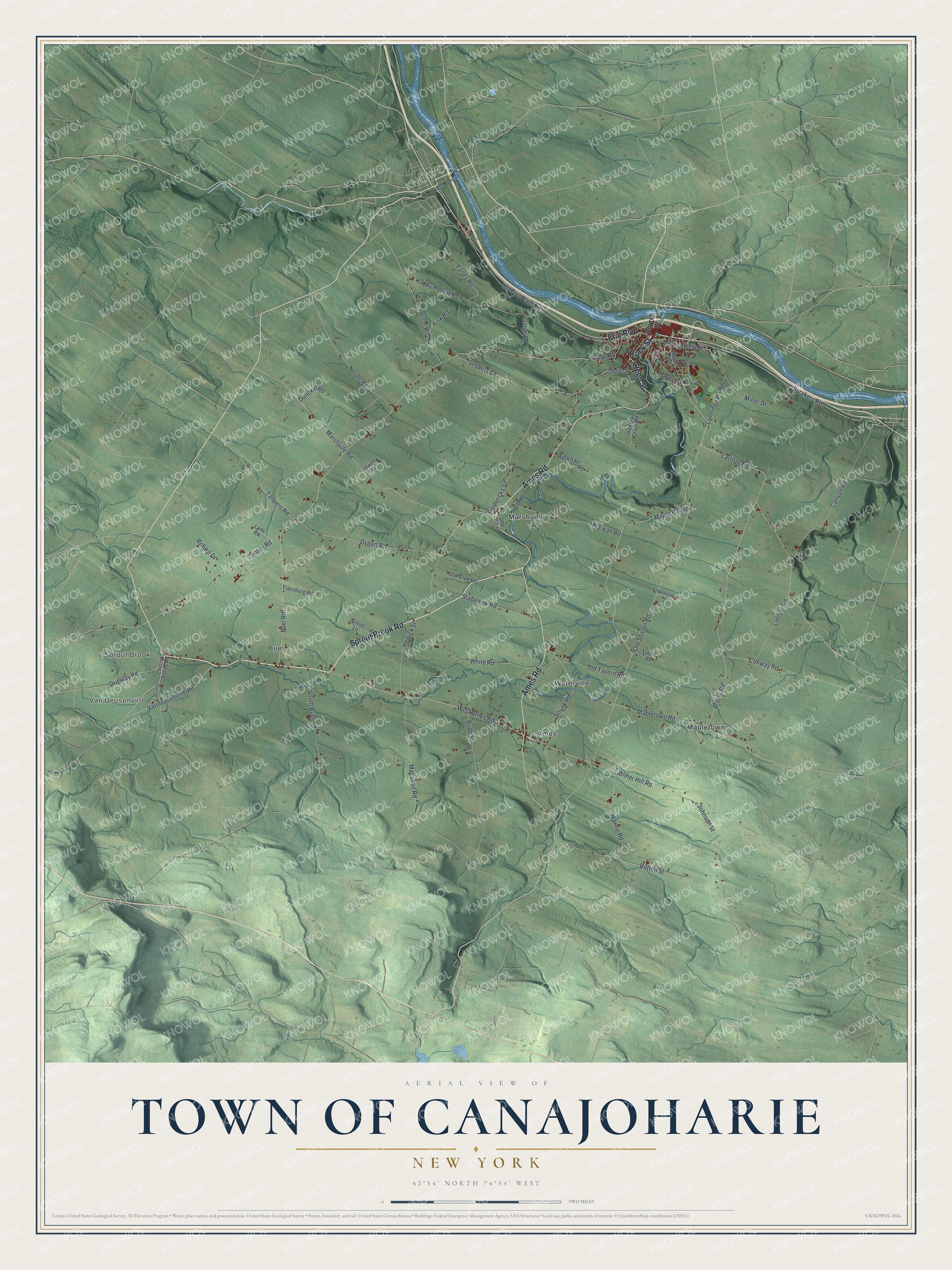
This beautifully detailed map of the Town of Canajoharie, New York was created in 2026 using aerial imagery combined with modern topographical, census, street and landmark data. It’s a one-of-a-kind view of the Town of Canajoharie that combines accurate data with a vintage aesthetic. The map shows every building in its true location, many of the roads carry their names, and the shaded topographic relief shows the shape of the land.
Explore an aerial view of the Town of Canajoharie, New York
On the map you’ll find Van Deusenville, Sprout Brook, Ames, Buel, and Mapletown, along with Sprout Brook Road, Rock Street, Ames Road, Reed Street, Erie Boulevard, and more. If you look closely you can even find your house accurately drawn in its correct location. Zoom in on the preview to look for yours.
Did You Know?
The name comes from a native phrase meaning the pot that washes itself. It refers to a large pothole at the mouth of Canajoharie Gorge, where the water boils without end. Dutch and German settlers arrived about 1730. In 1779, General James Clinton gathered his army here. That’s from the 1940 WPA guide to New York.
Take a closer look at the Town of Canajoharie map
Names on this map
These names are printed on this map.
Places: Van Deusenville, Sprout Brook, Ames, Buel, Mapletown, Marshville and Waterville.
Streets and roads: Sprout Brook Road, Rock Street, Ames Road, Reed Street, Erie Boulevard, Carlisle Road, Button Street, Johnson Street, Ridge Road, Clinton Road, Old Sharon Road, Mapletown Road.
More street names, A to Z
Abeling Street, Barclay Street, Blaine Road, Budd Street, Buel Road, Burkhart Road, Canyon Road, Cherry Valley Road, Church Street, Cliff Street, Conway Road, Cunningham Road, Dugway Road, Dunckel Road, Dygert Road, Farley Road, Fisk Road, Flannigan Road, Flansburg Road, Fredericks Street, Golf Club Road, Gorge Road, Happy Hollow Road, Heiser Road, Herrick Street, Hickory Grove Road, Jewell Road, Lane Road, Latimer Hill Road, Lincoln Road, Macphail Road, Maple Avenue, Maple Hill Road, Maring Road, Marshville Road, McEwan Road, Miller Drive, Montgomery Street, Moyer Street, Nestle Road, Null Road, Old Fort Plain Road, Old Route 10, Old Tavern Road, Otsego Road, Robwil Drive, Seebers Lane, Shunk Road, Smith Lane, Smith Street, South Buel Road, Sprakers Road, Stabenow Road, Tanners Road, Tubbs Road, Vandeusenville Road, West Ames Road, White Road.
See it on a wall
The Canajoharie map as a framed print. Swipe for more.


This beautifully detailed map of the Town of Canajoharie makes an attractive addition to your office, library, or den, and it can even be used to teach children the geography and history of the area. It also makes a great gift for someone who left the Town of Canajoharie and still calls it home. When you’re done exploring, click here to get your copy of the Town of Canajoharie map.