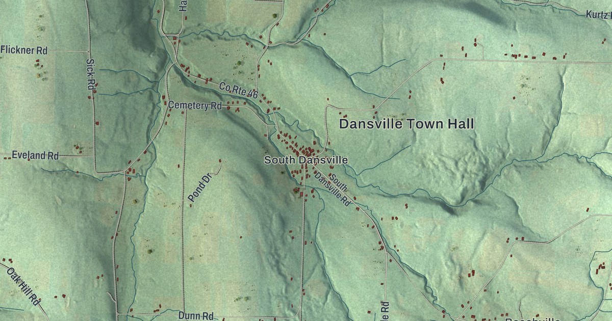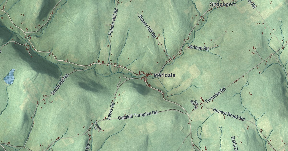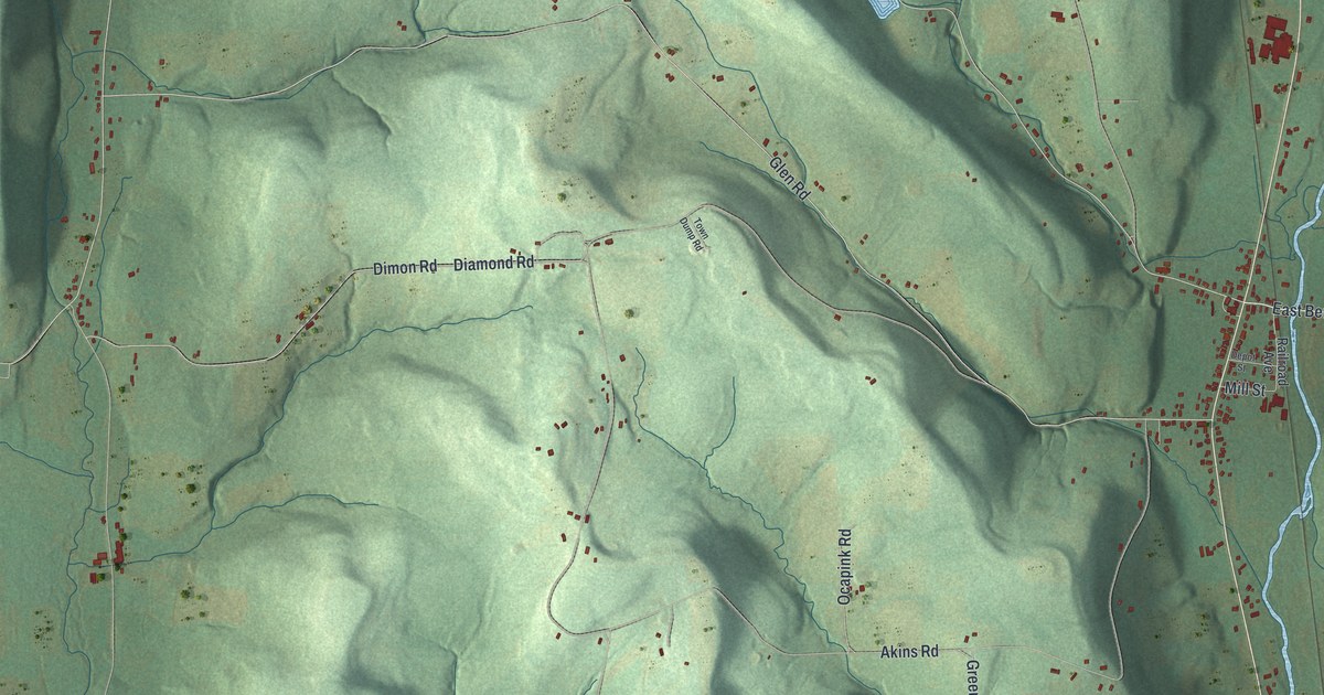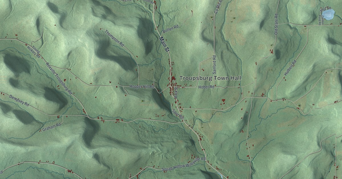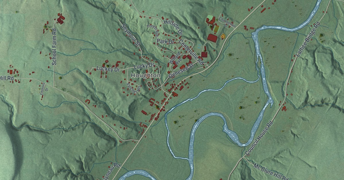
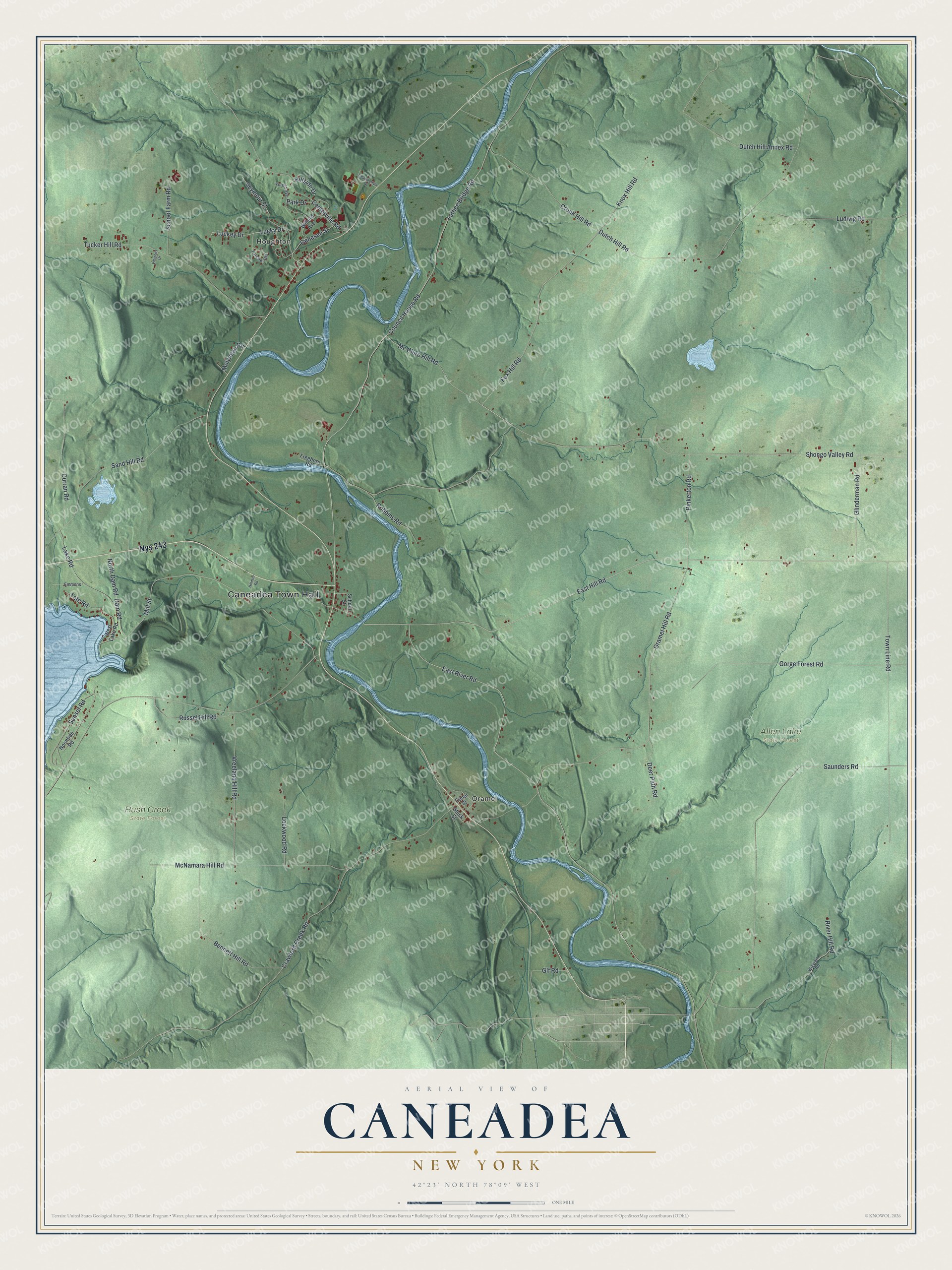
This beautifully detailed map of Caneadea, New York was created in 2026 using aerial imagery combined with modern topographical, census, street and landmark data. It’s a one-of-a-kind view of Caneadea that combines accurate data with a vintage aesthetic. The map shows every building in its true location, many of the roads carry their names, and the shaded topographic relief shows the shape of the land.
Explore an aerial view of Caneadea, New York
On the map you’ll find Caneadea Town Hall, Houghton, Oramel, Allen Lake State Forest, and Rush Creek State Forest, along with River Road, Hill Road, Fox Hill Road, Lake Road, and more. If you look closely you can even find your house accurately drawn in its correct location. Zoom in on the preview to look for yours.
Did You Know?
Caneadea’s name comes from an Indian phrase meaning where the heavens rest on the earth. The village stands on the site of a Seneca village. In 1940, villagers hung their milk containers on the telegraph pole by the post office. A dairy farmer filled them, and people picked them up when they liked. That’s from the 1940 WPA guide to New York.
Take a closer look at the Caneadea map
Names on this map
These names are printed on this map.
Places: Caneadea Town Hall, Houghton, Oramel, Allen Lake State Forest and Rush Creek State Forest.
Streets and roads: Nys 243, East River Road, East Hill Road, Fox Hill Road, Shongo Valley Road, Lake Road, Dam Road, Mill Street, Luckey Drive, Council House Road, Lattice Bridge Road, Oramel Hill Road.
More street names, A to Z
Bennett Hill Road, Canal Street, Centerville Road, Chamberlain Street, Crawford Creek Road, Cronk Hill Road, Curran Road, Deer Path Road, Dutch Hill Annex Road, Dutch Hill Road, Emmons, Emmons Drive, Fancher Heights, Forest Avenue, Freeborn Road, Genesee Street, Glf Road, Glinderman Road, Gorge Forest Road, Hillman Road, Hillside Drive, Knox Hill Road, Lockwood Road, Lucky Drive, Ludwig Road, Mc Clure Hill Road, McNamara Hill Road, Molyneau Road, Noontide Road, North Dam Road, Park Drive, Pinkerton Road, River Hill Road, Robbins Road, Russel Hill Road, Sand Hill Road, Saunders Road, School Farm Road, School Street, Seymour Street, Stuck Street, Sunset Road, Tate Road, Town Line Road, Tucker Hill Road, Vreeland Hill Road, West Lake Road, Wigwam Road, Willard Avenue.
See it on a wall
The Caneadea map as a framed print. Swipe for more.


This beautifully detailed map of Caneadea makes an attractive addition to your office, library, or den, and it can even be used to teach children the geography and history of the area. It also makes a great gift for anyone with Caneadea roots. When you’re done exploring, click here to get your copy of the Caneadea map.