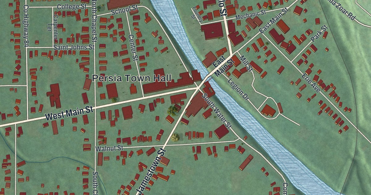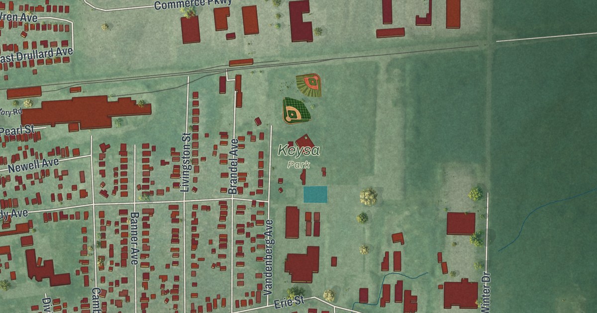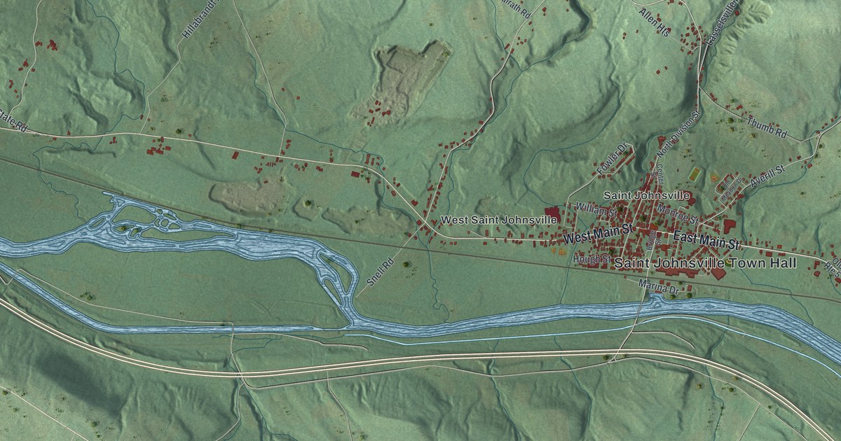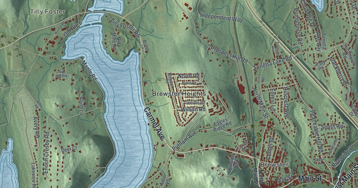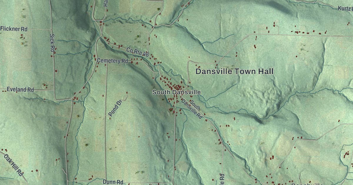
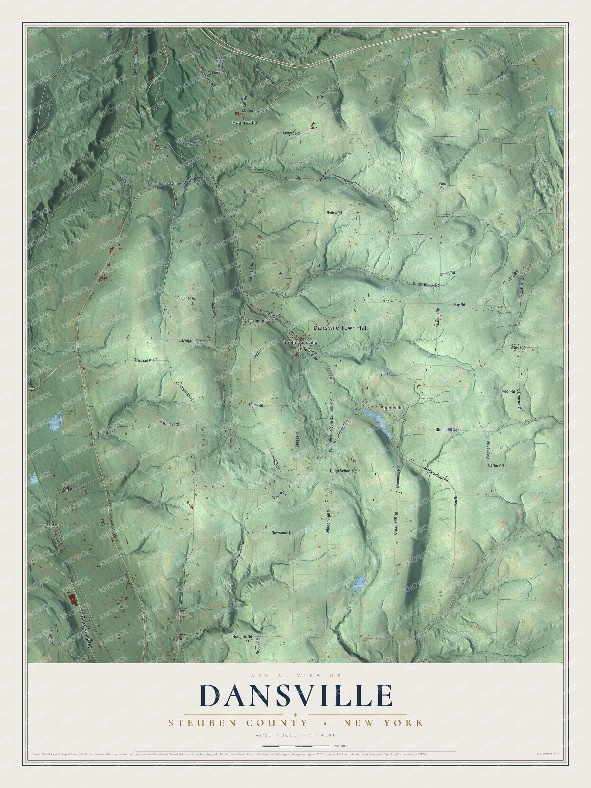
This beautifully detailed map of Dansville, Steuben County, New York was created in 2026 using aerial imagery combined with modern topographical, census, street and landmark data. It’s a one-of-a-kind view of Dansville that combines accurate data with a vintage aesthetic. The map shows every building in its true location, many of the roads carry their names, and the shaded topographic relief shows the shape of the land.
Explore an aerial view of Dansville, Steuben County, New York
On the map you’ll find Dansville Town Hall, Rogersville, Beachville, Burns, and South Dansville, along with Canaseraga Road, Windom Hill Road, Windom Hill South Dansville Road, Burns Road, and more. If you look closely you can even find your house accurately drawn in its correct location. Zoom in on the preview to look for yours.
Did You Know?
The town was named for Daniel P. Faulkner, a leading citizen whom people called Captain Dan. It was formed in 1796 as one of the county’s original towns. Settlers did not arrive until about 1804. In 1822 the Village of Dansville itself was annexed to Sparta in Livingston County.
Take a closer look at the Dansville, Steuben County map
Names on this map
These names are printed on this map.
Places: Dansville Town Hall, Rogersville, Beachville, Burns, South Dansville and Stony Brook State Park.
Streets and roads: Canaseraga Road, Windom Hill Road, Windom Hill South Dansville Road, Burns Road, Lander Road, Day Road, Strobel Road, Cobb School Road, Oak Hill Road, Stone Hill Road, Poags Hole Road, Geiger Road.
More street names, A to Z
Acomb Road, Bills Road, Bluff Point Road, Bridge Road, Briggs Road, Bronson Road, Cemetery Road, County Route 46, County Route 50, Cream Hill Road, Crosset Road, Demmery Road, Dunn Road, Dyer Road, Emo Road, Ess Road, Eveland Road, Flickner Road, Goose Creek Road, Harter Road, Hartman Road, Jacobs Road, Keifer Hollow Road, Kennell Road, Kurtz Hollow Road, Lattimer Hill Road, Lemon Road, Lemon Spur Road, Mack School Road, McCurdy Road, Neu Road, Newsome Road, Pond Drive, Poor Road, Rauber Road, Reddy Hollow Road, Robards Road, Ryder Road, Sandy Hill Road, Schirmer Road, Sick Road, Smalt Road, South Dansville Road, Stage Road, Stones Falls Road, Stony Brook Glen Road, Wagner Road, Ward Road, Wilkins Road, Willey Road.
See it on a wall
The Dansville, Steuben County map as a framed print. Swipe for more.


This beautifully detailed map of Dansville, Steuben County makes an attractive addition to your office, library, or den, and it can even be used to teach children the geography and history of the area. It also makes a great gift for anyone with Dansville roots. When you’re done exploring, click here to get your copy of the Dansville, Steuben County map.