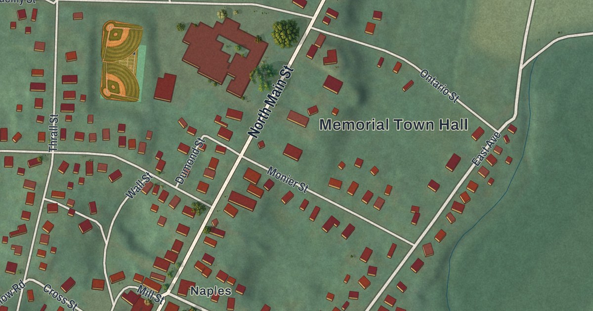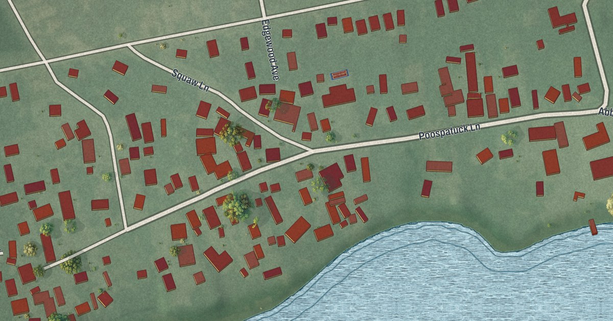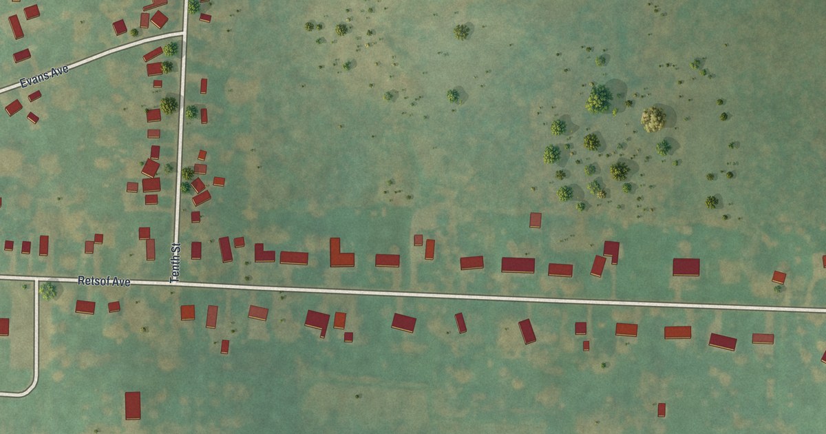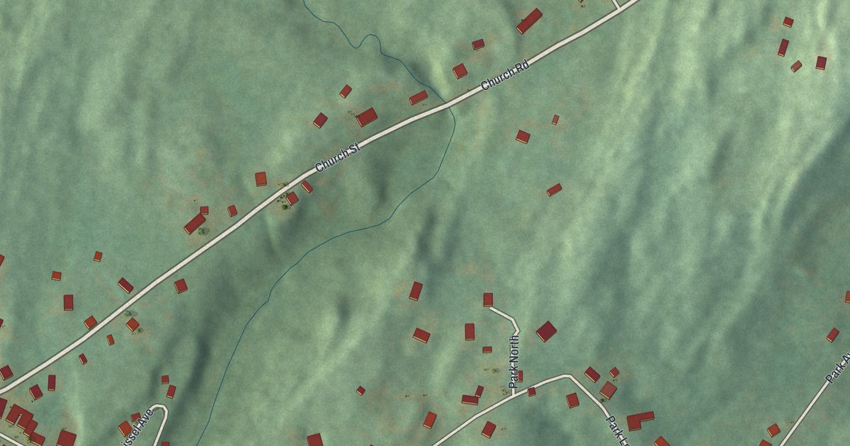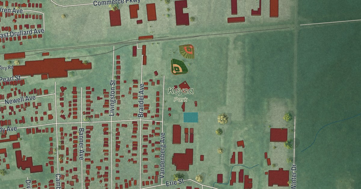
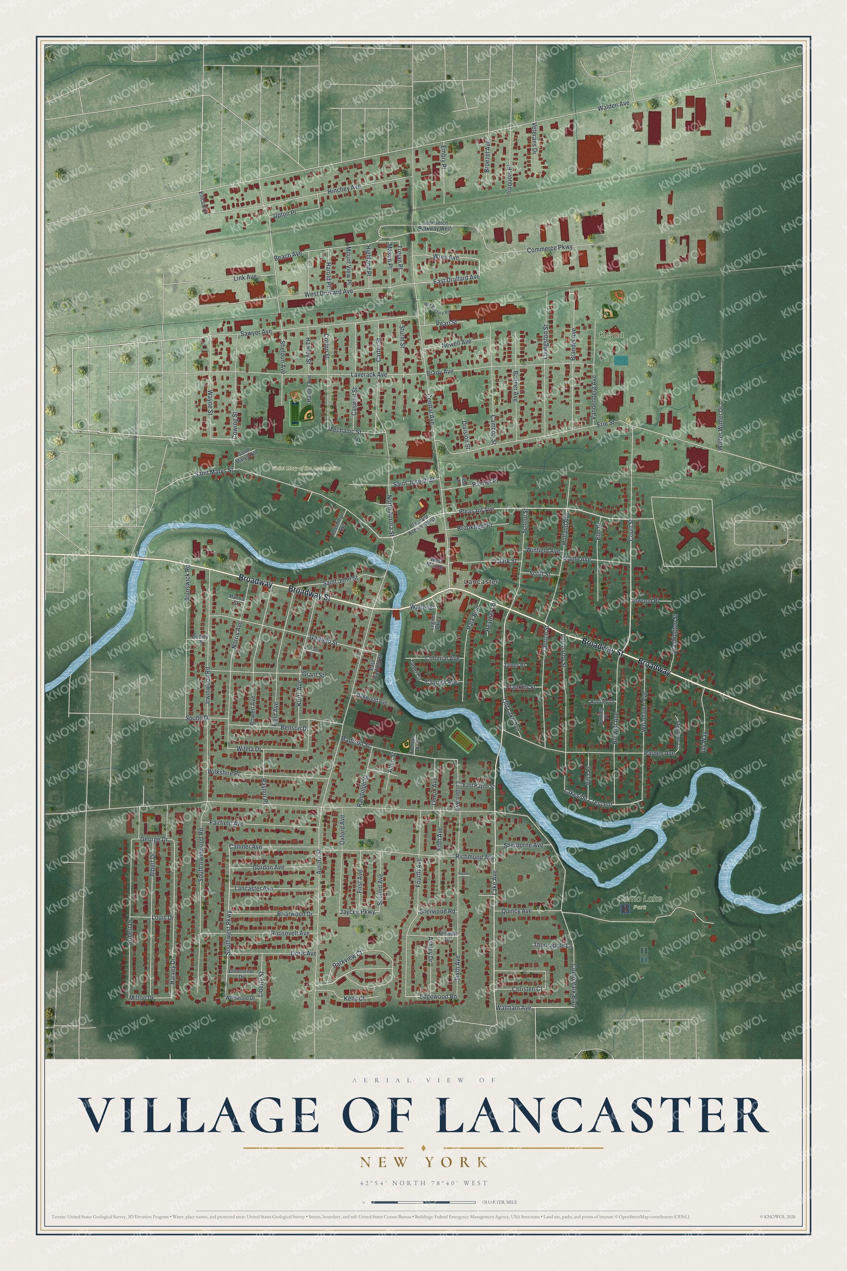
This beautifully detailed map of the Village of Lancaster, New York was created in 2026 using aerial imagery combined with modern topographical, census, street and landmark data. It’s a one-of-a-kind view of the Village of Lancaster that combines accurate data with a vintage aesthetic. The map shows every building in its true location, many of the roads carry their names, and the shaded topographic relief shows the shape of the land.
Explore an aerial view of the Village of Lancaster, New York
On the map you’ll find Como Lake Park, Saint Mary of the Assumption Cemetery, and Keysa Park, along with Broadway Street, Lake Avenue, Court Street, Waltham Avenue, Pleasant Avenue, and more. If you look closely you can even find your house accurately drawn in its correct location. Zoom in on the preview to look for yours.
Did You Know?
Lancaster was once known as Cayuga Creek. It became a village in 1849, the third oldest in Erie County after Springville and Gowanda. Its oldest house, the Carpenter-Draper House, dates to 1831. The Lancaster Presbyterian Church, built in 1832, is the second oldest religious building in the county.
Take a closer look at the Village of Lancaster map
Names on this map
These names are printed on this map.
Places: Como Lake Park, Saint Mary of the Assumption Cemetery, Keysa Park and Lancaster.
Streets and roads: Broadway, Broadway Street, Lake Avenue, Court Street, Waltham Avenue, Pleasant Avenue, Edgewood Road, Parkview Court, Southwest Parkway, Lakeside Crescent, East Drullard Avenue, Jaycee Parkway.
More street names, A to Z
Albert Drive, Allen Street, Ashley Drive, Aurora Street, Banner Avenue, Beach Avenue, Benson Drive, Bowen Avenue, Box Factory Road, Brady Avenue, Brandel Avenue, Briarwood Drive, Broezel Avenue, Brookfield Place, Brunswick Road, Bryant Place, Burwell Avenue, Cadet Circle, Cambria Street, Camner Avenue, Carter Street, Caswell Street, Cayuga Avenue, Central Avenue, Christen Court, Church Street, Clark Street, Cloverside Drive, Colonial Avenue, Commerce Parkway, Commerce Parkway West, Como Park Boulevard, Cotton Street, Cowing Street, Crawford Street, Division Street, Doris Avenue, Dudley Place, East Garfield Street, East Payne Street, Ellicott Place, Elm Place, Embry Place, Erie Street, Fairfield Avenue, Field Avenue, Fifth Avenue, First Avenue, Fourth Avenue, Franklin Street, Garfield Street, George Drive, Gordon Avenue, Grant Street, Hanna Street, Harold Place, Harvey Drive, Hawley Avenue, Hawley Street, Heather Lane, Highland Place, Hinchey Avenue, Holland Avenue, Huntley Drive, Huntley Place, Ida Place, Inwood Place, Iroquois Place, Irwinwood Road, Ivy Way, James Place, Kelly Court, Kurtz Avenue, Lancaster Avenue, Laverack Avenue, Legion Parkway, Lenox Avenue, Liberty Street, Linden Avenue, Link Avenue, Livingston Street, Lombardy Street, Louis Drive, Madison Street, Maple Avenue, Mason Place, Mechanic Street, Milton Drive, Mount View Place, Newell Avenue, Norris Avenue, North Aurora Street, Oakwood Avenue, Old Lake Avenue, Oxford Avenue, Palmer Place, Pardee Avenue, Park Boulevard, Parkside Drive, Pearl Street, Pershing Avenue, Pleasant Avenue West, Quincy Avenue, Randolph Street, Raynor Place, Richmond Avenue, Robert Drive, Roosevelt Avenue, Saint John Street, Saint Joseph Street, Saint Marys Hill, Saint Marys Street, Sawyer Avenue, School Street, Scott Street, Second Avenue, Sheldon Avenue, Sherborne Avenue, Sherwood Road, Sixth Avenue, South Irwinwood Road, Spohn Drive, Stephens Court, Sturm Street, Thornapple Lane, Trenton Avenue, Trojan Place, Upton Place, Vandenberg Avenue, Veterans Drive, Villa Place, Walden Avenue, Walter Street, Walter Winter Drive, Washington Street, Wayne Street, West Drullard Avenue, West Main Street, Wildwood Drive, Wilkshire Place, Wilma Drive, Winfield Avenue, Woodlawn Avenue, Wren Avenue.
See it on a wall
The Lancaster map as a framed print. Swipe for more.


This beautifully detailed map of the Village of Lancaster makes an attractive addition to your office, library, or den, and it can even be used to teach children the geography and history of the area. It also makes a great gift for anyone who grew up in the Village of Lancaster or moved away. When you’re done exploring, click here to get your copy of the Village of Lancaster map.