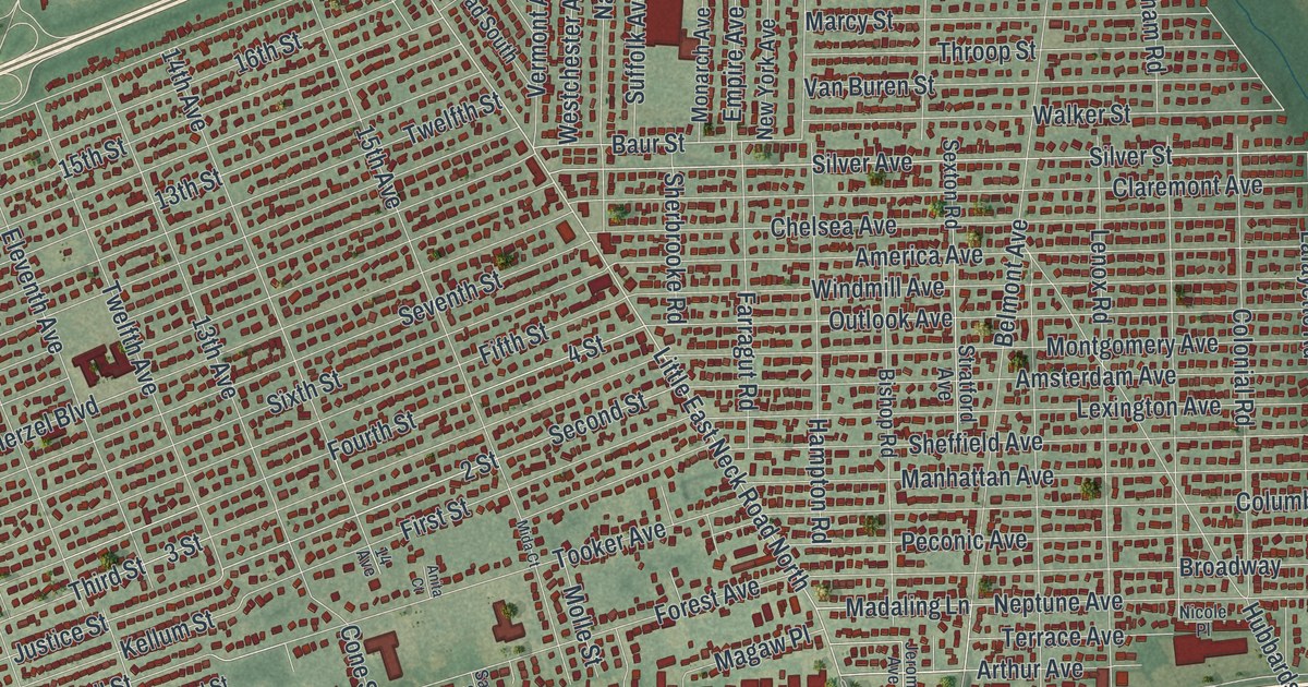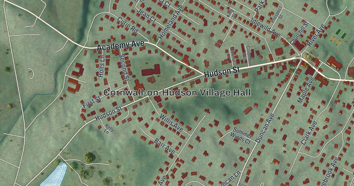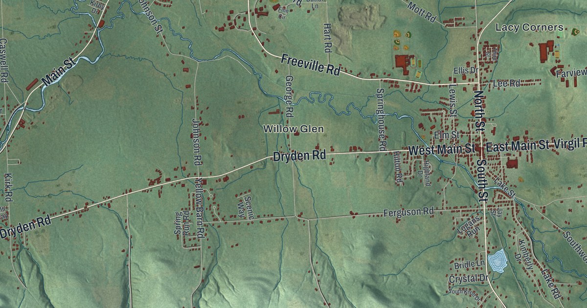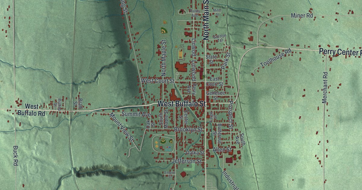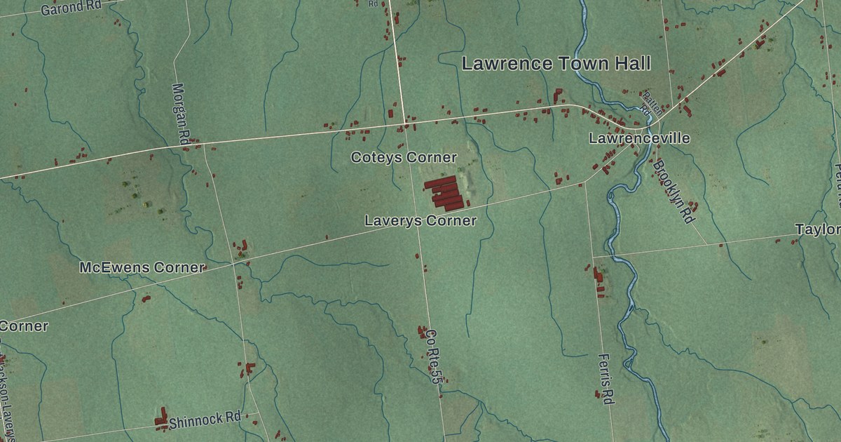
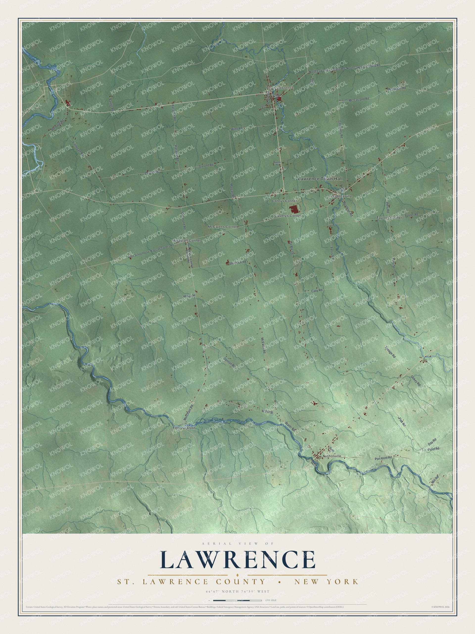
This beautifully detailed map of Lawrence, St. Lawrence County, New York was created in 2026 using aerial imagery combined with modern topographical, census, street and landmark data. It’s a one-of-a-kind view of Lawrence that combines accurate data with a vintage aesthetic. The map shows every building in its true location, many of the roads carry their names, and the shaded topographic relief shows the shape of the land.
Explore an aerial view of Lawrence, St. Lawrence County, New York
On the map you’ll find Lawrence Town Hall, Nicholville, North Lawrence, Coteys Corner, Fort Jackson, and Laverys Corner, along with Lawarence Maria Road, Lawrence Maria Road, Merchant Road, Hallanad Road, and more. If you look closely you can even find your house accurately drawn in its correct location. Zoom in on the preview to look for yours.
Did You Know?
Settlers reached Lawrence soon after 1800. During the War of 1812, many fled for good to Vermont and New Hampshire. Only five families stayed, and they often lived on venison. A state road built in 1827 brought settlers back, and the town was formed in 1828. It was named for early land owner William Lawrence.
Take a closer look at the Lawrence, St. Lawrence County map
Names on this map
These names are printed on this map.
Places: Lawrence Town Hall, Nicholville, North Lawrence, Coteys Corner, Fort Jackson, Laverys Corner, Lawrenceville, McEwens Corner, Taylors Corner and Wagstaff Corner.
Streets and roads: North Lawarence Maria Road, North Lawrence Maria Road, Merchant Road, Hallanad Road, Winn Road, Garond Road, Mc Casland Road, Mc Causin Road, Denton Road, Water Street, Savage Road, McEwen Road.
More street names, A to Z
Barnage Road, Baxter Road, Brooklyn Road, Bumble Bee Lane, Cady Road, Cemetery Road, Church Street, County Route 55, Day Road, Desmond Road, Driscoll Road, Duquette Road, Ferris Road, Finnegan Road, Fisk Road, Fort Jackson-Laverys Corners Road, Foster Road, Gokey Road, Grove Street, Hallahan Road, McAuslen Street, Miller Road, Mill Road, Morgan Road, Patten Road, Peru Road, Peru Street, Ploof Road, Port Kent Road, Sand Street, Shinnock Road, Water Road, Williams Road, Willis Schoolhouse-Wagstaff Corners Road.
See it on a wall
The Lawrence, St. Lawrence County map as a framed print. Swipe for more.


This beautifully detailed map of Lawrence, St. Lawrence County makes an attractive addition to your office, library, or den, and it can even be used to teach children the geography and history of the area. It also makes a great gift for anyone with Lawrence roots. When you’re done exploring, click here to get your copy of the Lawrence, St. Lawrence County map.