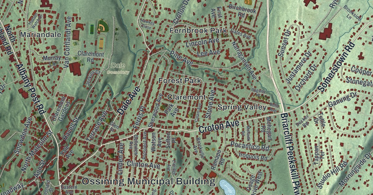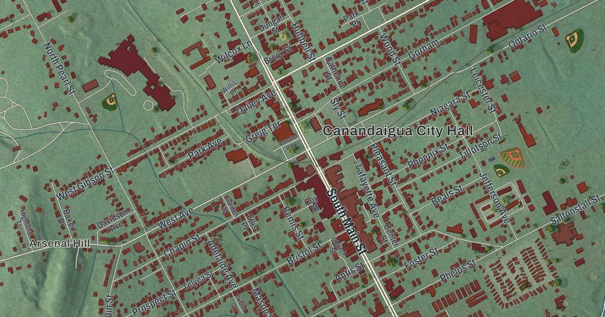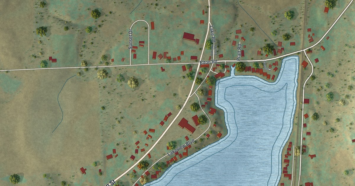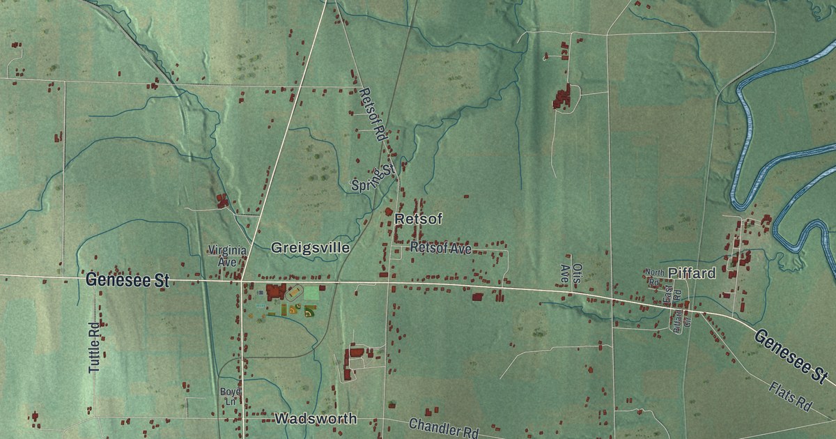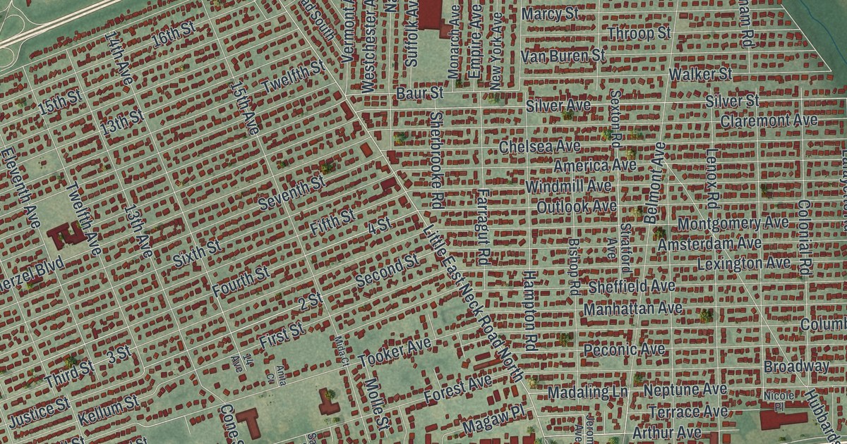
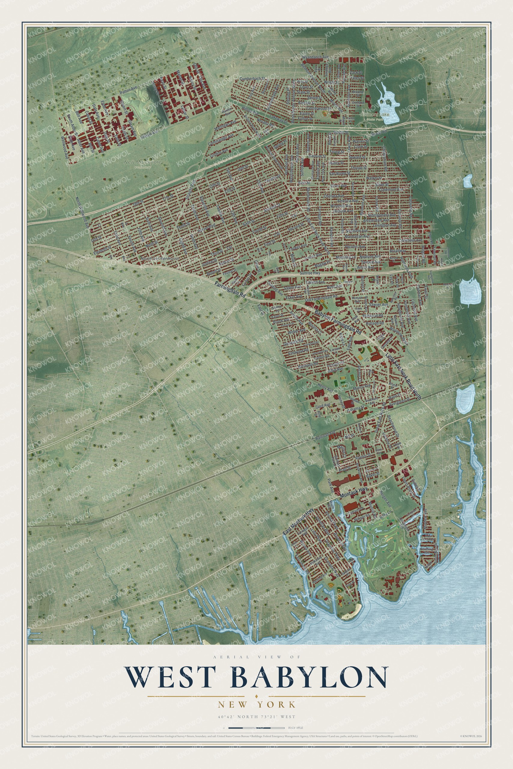
This beautifully detailed map of West Babylon, New York was created in 2026 using aerial imagery combined with modern topographical, census, street and landmark data. It’s a one-of-a-kind view of West Babylon that combines accurate data with a vintage aesthetic. The map shows every building in its true location, many of the roads carry their names, and the shaded topographic relief shows the shape of the land.
Explore an aerial view of West Babylon, New York
On the map you’ll find North Lindenhurst, Belmont Lake State Park, and New Montefiore Cemetery, along with Babylon Farmingdale Road, Farmingdale Road, Montauk Highway, Little East Neck Road, Wellwood Avenue, and more. If you look closely you can even find your house accurately drawn in its correct location. Zoom in on the preview to look for yours.
Take a closer look at the West Babylon map
Names on this map
These names are printed on this map.
Places: Belmont Lake State Park, New Montefiore Cemetery and North Lindenhurst.
Streets and roads: Babylon Farmingdale Road, Farmingdale Road, Montauk Highway, East Montauk Highway, Little East Neck Road North, North Wellwood Avenue, Madaling Lane, Wellwood Avenue, Beachwood Drive, Railroad Avenue, Patton Avenue, Park Avenue.
More street names, A to Z
2 Avenue, 2 Street, 3 Avenue, 3 Street, 4 Avenue, 4 Street, 13th Avenue, 13th Street, 14 Avenue, 14th Avenue, 14th Street, 15th Avenue, 15th Street, 16th Street, 17th Street, 18th Street, Adler Avenue, Albany Avenue, Albin Avenue, America Avenue, Amsterdam Avenue, Anchor Court, Anita Court, Arizona Road North, Arizona Road South, Arlington Road, Arnold Avenue, Arthur Avenue, Bahama Street, Baker Street, Barclay Street, Barnum Street, Baur Street, Beaver Lane, Bedell Street, Bell Avenue, Bell Street, Belmont Avenue, Belmont Avenue North, Bergen Avenue, Berkshire Road, Bermuda Road, Bishop Road, Blanchard Street, Bliss Street, Bond Street, Broadway, Brook Avenue, Brookvale Avenue, Broome Street, Bruce Street, Bunnell Place, Burgess Avenue, Cabot Avenue, Cabot Street, Cadman Avenue, Calvert Avenue, Captains Drive, Carlton Road, Cassata Court, Centerwood Street, Chelsea Avenue, Cheltenham Road, Claremont Avenue, Clark Street, Colonial Road, Columbus Avenue, Commander Avenue, Cone Street, Cord Avenue, Cortland Street, Court Street, Cumberbach Street, Cutter Place, Dale Avenue, Dale Street, Deauville Parkway, Densfield Road, Dewey Place, Eads Avenue, Eads Street, East Drive, East Neck Court, East Shore Road, Ecker Avenue, Edel Avenue, Edison Avenue, Eighth Avenue, Elbert Road, Eleventh Avenue, Eleventh Street, Elmwood Road, Empire Avenue, Essex Street, Evergreen Street, Ewell Street, Eyre Place, Falmouth Road, Farber Drive, Farragut Avenue, Farragut Road, Fern Terrace, Feustal Street, Fields Street, Fifth Avenue, Fifth Street, First Street, Fleets Point Drive, Fordham Road, Forest Avenue, Forman Street, Fourth Avenue, Fourth Street, Frankford Road, Fulton Place, Fulton Street, Gleam Avenue, Gleam Street, Glendale Road, Golding Avenue, Gordon Avenue, Governor Avenue, Granada Parkway, Grant Avenue West, Great East Neck Road, Guilford Park Drive, Hamlin Avenue, Hampton Road, Harding Avenue, Harvard Road, Hawthorne Avenue, Henry Avenue, Henry Street, Herzel Boulevard, Hilltop Avenue, Hope Street, Hubbards Path, Ireland Place, Jerome Avenue, Jersey Street, Justice Street, Kahn Lane, Karen Street, Kean Street, Kellum Street, Kenyon Avenue, Kings Court, Kirby Lane, Lafayette Road, Lakeway Drive, Lamar Street, Larsen Lane, Lenox Road, Lewis Avenue, Lexington Avenue, Lido Parkway, Litchfield Avenue, Livingston Avenue, Lucerne Drive, Lyn Place, Magaw Place, Mahan Street, Manhattan Avenue, Maple Avenue, Maple Street, Marcy Street, Marilyn Court, Matthews Avenue, Mayhew Avenue, McKinley Avenue, Mida Court, Midwood Road, Milligan Road, Milton Road, Molle Street, Monarch Avenue, Montgomery Avenue, Morrison Street, Mount Avenue, Mount Place, Muncie Road, Muncy Avenue, Nancy Street, Nassau Avenue, Neptune Avenue, Nevada Road, Newkirt Avenue, New York Avenue, Nicole Place, Nill Street, Nims Avenue, Ninth Avenue, Ninth Street, Norton Avenue, Old Bergen Avenue, Old Farmingdale Road, Otis Avenue, Otis Street, Outlook Avenue, Palm Place, Peconic Avenue, Pershing Avenue, Phillips Walk, Pine Place, Plate Avenue, Platt Avenue, Pratt Street, Prescott Place, Putnam Avenue, Queens Avenue, Raider Street, Raynor Street, Reid Street, Remsen Place, Riviera Parkway, Roland Drive, Rosella Court, Rutgers Road, Rutland Road, Salem Avenue, Sandpiper Lane, Sand Street, Saratoga Avenue, Sawyer Avenue, Schenectady Avenue, Second Street, Seventh Avenue, Seventh Street, Seward Street, Sexton Road, Sheffield Avenue, Sherbrooke Road, Shirley Lane, Shore Place, Silver Avenue, Silver Street, Sixth Avenue, Sixth Street, Somerset Road, South Alder Street, Southard Avenue, South Bay Drive, Spring Place, Spruce Place, Starlight Court, State Street, Sterling Place, Straight Path, Strand Place, Stratford Avenue, Suffolk Avenue, Sunrise Highway, Sword Street, Sylvan Road, Teddy Place, Tenth Avenue, Tenth Street, Terrace Avenue, Third Avenue, Third Street, Throop Street, Tooker Avenue, Troy Avenue, Twelfth Avenue, Twelfth Street, Ulster Avenue, Van Buren Street, Vanderbilt Avenue, Venetian Boulevard, Vermont Avenue, Verona Parkway, Walker Street, Warren Street, Weber Avenue, Westchester Avenue, Westchester Avenue North, Windmill Avenue, Woodbine Avenue, Woodrow Parkway, Wright Street, Wyandanch Avenue, Wyona Avenue, Yates Street, York Place, Young Street, Zack Street.
See it on a wall
The West Babylon map as a framed print. Swipe for more.


This beautifully detailed map of West Babylon makes an attractive addition to your office, library, or den, and it can even be used to teach children the geography and history of the area. It also makes a great gift for anyone with West Babylon roots. When you’re done exploring, click here to get your copy of the West Babylon map.