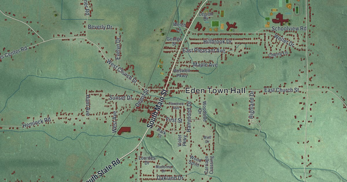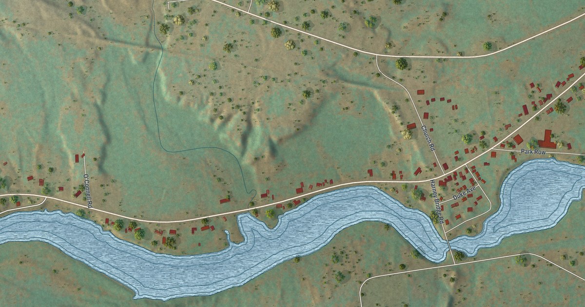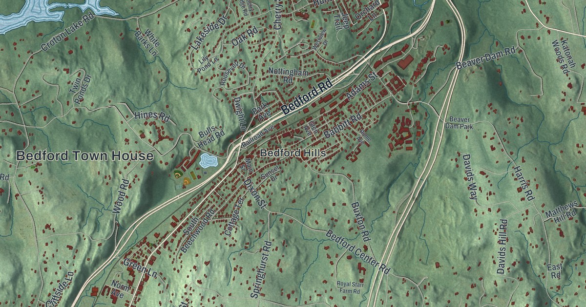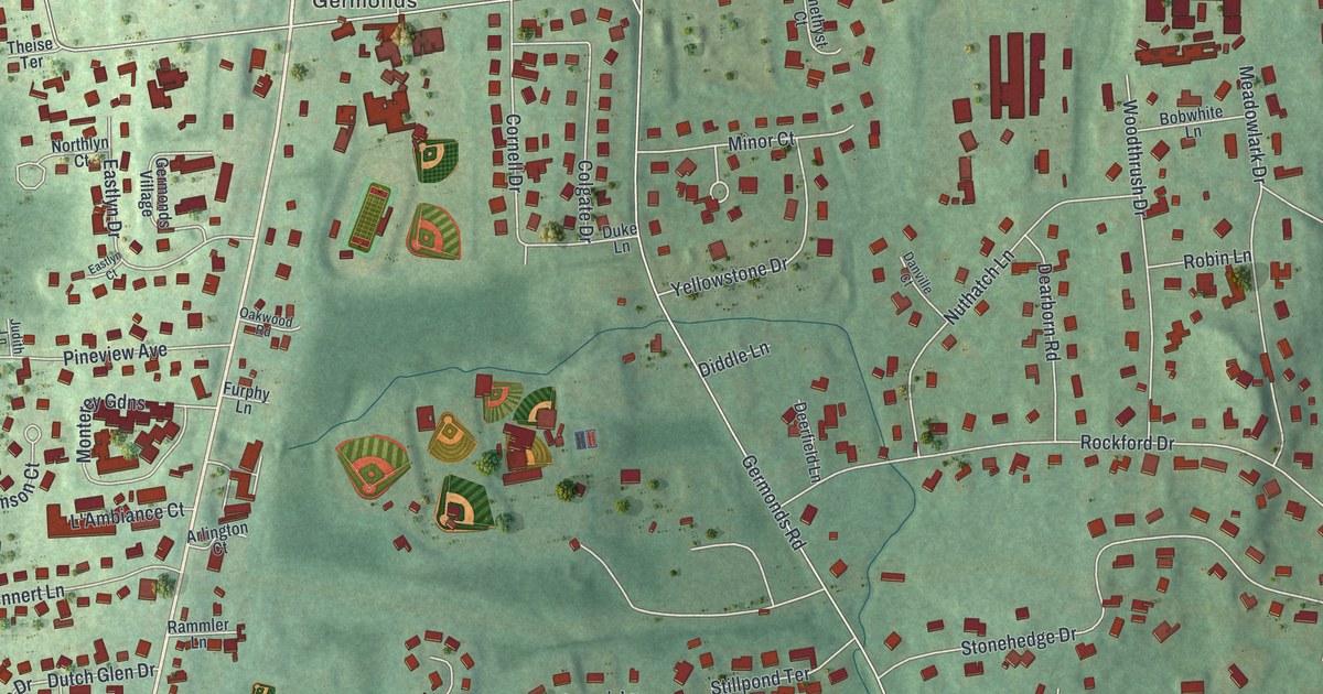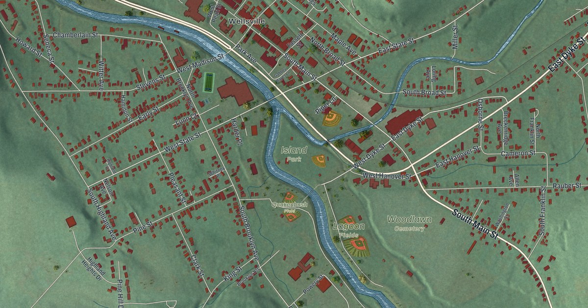
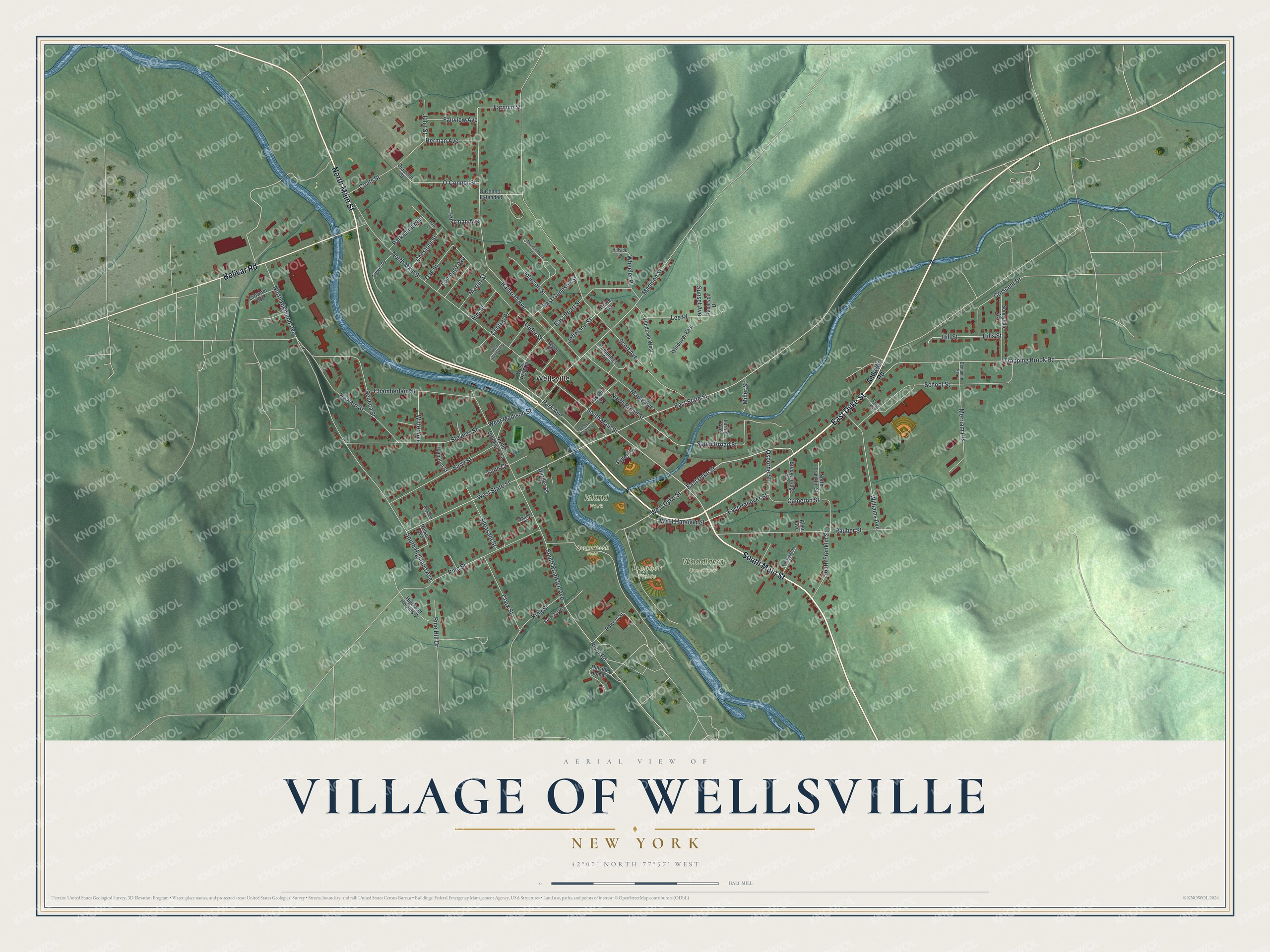
This beautifully detailed map of the Village of Wellsville, New York was created in 2026 using aerial imagery combined with modern topographical, census, street and landmark data. It’s a one-of-a-kind view of the Village of Wellsville that combines accurate data with a vintage aesthetic. The map shows every building in its true location, many of the roads carry their names, and the shaded topographic relief shows the shape of the land.
Explore an aerial view of the Village of Wellsville, New York
On the map you’ll find Island Park and Woodlawn Cemetery, along with Main Street, Dyke Street, Bolivar Road, Andover Road, State Street, and more. If you look closely you can even find your house accurately drawn in its correct location. Zoom in on the preview to look for yours.
Did You Know?
Wellsville was named for Gardiner Wells, who owned the land that is now downtown Main Street. By 1803 Nathaniel Dyke ran a gristmill, a sawmill and a tannery on Dyke’s Creek. In 1851 the New York and Erie Railroad arrived. It gave lumbermen a faster way to get logs to market.
Take a closer look at the Village of Wellsville map
Names on this map
These names are printed on this map.
Places: Island Park, Lagoon Fields, Woodlawn Cemetery, Quakenbush Field and Wellsville.
Streets and roads: South Main Street, East Dyke Street, North Main Street, Bolivar Road, East State Street, West Dyke Street, West State Street, South Broad Street, Park Avenue, Miller Street, Madison Street, South Brooklyn Avenue.
More street names, A to Z
Allen Avenue, Andover Road, Benjamin Street, Breckenridge Avenue, Brooklyn Heights, Cameron Street, Central Place, Chamberlain Street, Chestnut Street, Clark Street, Coats Street, Crescent Drive, Crowner Avenue, Cummings Place, Depot Street, Early Street, East Genesee Street, East Hanover Street, East Pearl Street, Elm Street, Fair Street, Fairview Avenue, Farnum Street, Fassett Street, Gabbey Hayes Lane, Hamilton Street, Harder Place, Herman Avenue, Highland Heights Drive, Highland Place, Hillside Homes, Hillside Lane, Hills Street, Hill Street, Howard Street, Howe Terrace, Jefferson Street, Johnson Street, John Street, King Street, Lee Place, Lewis Place, Loder Street, Lombard Avenue, Loring Avenue, Lunn Court, Maple Avenue, Martin Street, Meadowbrook Court, Merriam Heights, Nelson Avenue, North Broad Street, North Brooklyn Avenue, North Franklin Street, North Highland Avenue, O'Connor Extended, O'Connor Street, Oak Street, Oconnor Street, Osborne Street, Park Lane, Park Lane East, Pine Hill Drive, Pine Street, Piper Lane, Pleasant Street, Powery Street, Putzman Avenue, Railroad Avenue, Rauber Street, Reservoir Drive, River Road, School Street, Scott Avenue, Seneca Street, South Franklin Street, South Highland Avenue, Stevens Street, Sunnydale Avenue, Sunset Avenue, Trapping Brook Road, Washington Street, West Genesee Street, West Hanover Street, West Madison Street, West Pearl Street, Wheeler Place, Whitney Place, Williams Avenue, Windover East, Windover West, Witter Avenue.
See it on a wall
The Wellsville map as a framed print. Swipe for more.


This beautifully detailed map of the Village of Wellsville makes an attractive addition to your office, library, or den, and it can even be used to teach children the geography and history of the area. It also makes a great gift for anyone who grew up in the Village of Wellsville or moved away. When you’re done exploring, click here to get your copy of the Village of Wellsville map.