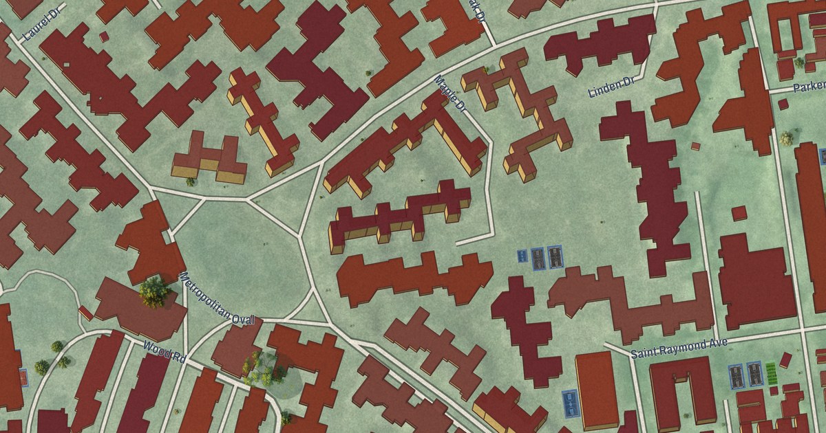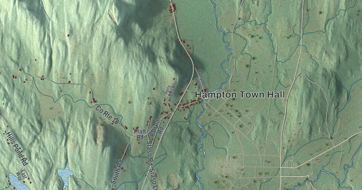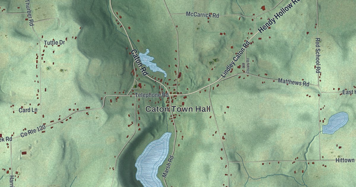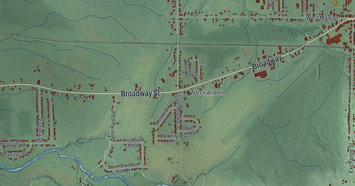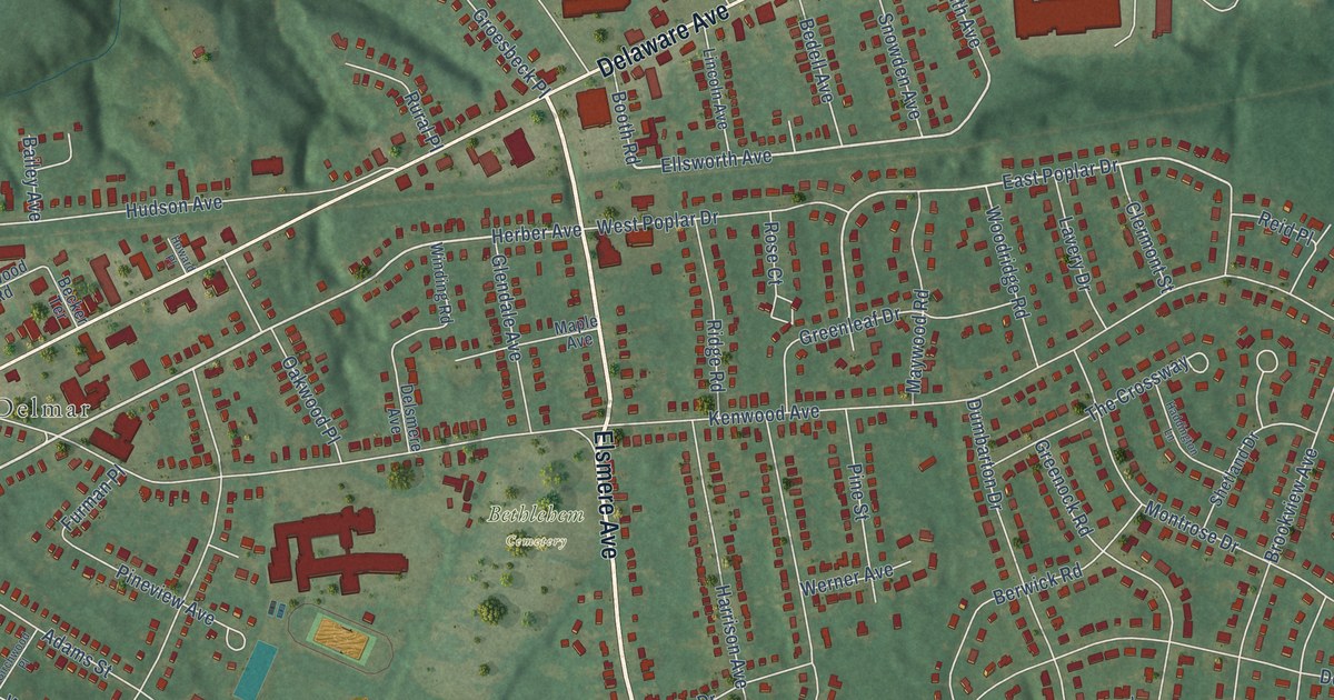
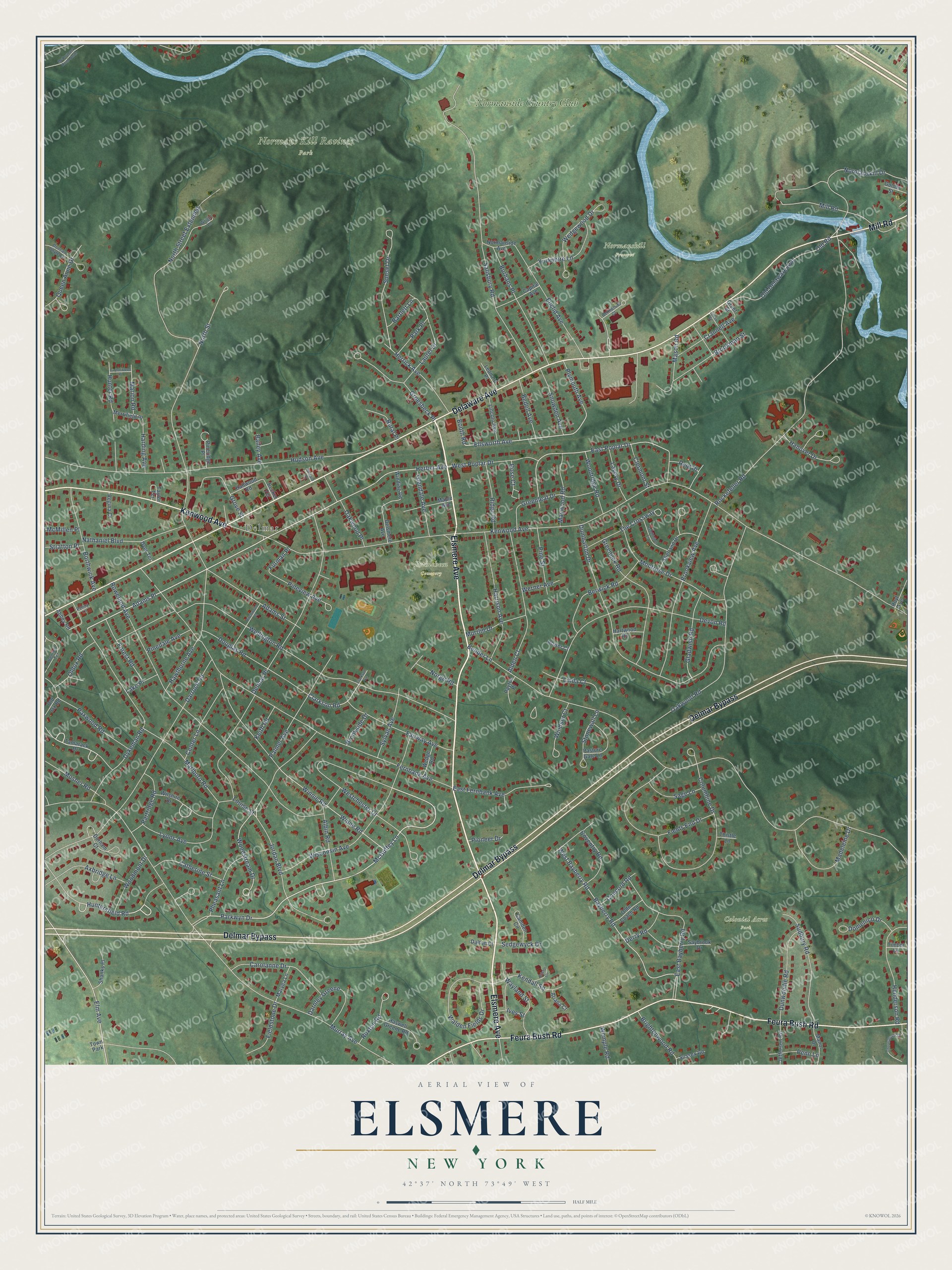
This beautifully detailed map of Elsmere, New York was created in 2026 using aerial imagery combined with modern topographical, census, street and landmark data. It’s a one-of-a-kind view of Elsmere that combines accurate data with a vintage aesthetic. The map shows every building in its true location, many of the roads carry their names, and the shaded topographic relief shows the shape of the land.
Explore an aerial view of Elsmere, New York
On the map you’ll find Delmar, Bethlehem Cemetery, Colonial Acres Park, Normans Kill Ravines Park, Normanskill Preserve, and Normanside Country Club, along with Elsmere Avenue, Delmar Bypass, Delaware Avenue, Feura Bush Road, Kenwood Avenue, Mill Road, and more. If you look closely you can even find your house accurately drawn in its correct location. Zoom in on the preview to look for yours.
Did You Know?
From Internet Archive: "Humphry Ward's novel, was acted April 29, for the first time, and had this cast: Robert Elsmere."
Elsmere is a community in Albany County.
Take a closer look at the Elsmere map
Names on this map
These names are printed on this map.
Places: Delmar, Bethlehem Cemetery, Colonial Acres Park, Normans Kill Ravines Park, Normanskill Preserve, Normanside Country Club and Town Park.
Streets and roads: Elsmere Avenue, Delmar Bypass, Delaware Avenue, Feura Bush Road, Kenwood Avenue, Mill Road, Adams Place, Huntersfield Road, McGuffey Lane, Parkwyn Drive, Woodstream Drive, Old Road.
More street names, A to Z
Abbey Road, Adams Street, Albin Road, Alden Court, Ariana Court, Axbridge Lane, Bailey Avenue, Bartlett Lane, Bayberry Road, Becker Terrace, Bedell Avenue, Bender Lane, Bennett Terrace, Berwick Road, Bethlehem Court, Birchwood Place, Booth Road, Borthwick Avenue, Bower Court, Brightonwood Road, Bristol Circle, Brookman Street, Brookside Drive, Brookview Avenue, Burhans Place, Burtonwood Place, Camden Circle, Capital Avenue, Carolanne Drive, Catherine Street, Center Lane, Clarkson Avenue, Clarkson Road, Clermont Street, Columbine Drive, Concord Road, Coventry Road, Crannell Avenue, Dalton Court, Darnley Greene, Darroch Road, Delmar Place, Delsmere Avenue, Derry Road, Devon Road, Domenico Drive, Douglas Road, Dumbarton Drive, Duncan Phyfe Lane, Dunwoodie Road, Durham Court, Dyer Terrace, Dykeman Road, East Bayberry Road, East Fernbank Avenue, East Poplar Drive, Ellsworth Avenue, Elm Avenue, Euclid Avenue, Fairway Avenue, Fernbank Avenue, Fields End Drive, Fieldstone Drive, Forest Road, Furman Place, Gladwish Road, Glendale Avenue, Golder Street, Grant Street, Greenleaf Drive, Greenock Road, Groesbeck Place, Grove Street, Haddington Lane, Hallwood Road, Hanover Drive, Harding Avenue, Harrison Avenue, Hartwood Road, Haswell Greene Road, Hawthorne Avenue, Henderson Road, Herber Avenue, Herrick Avenue, Howard Place, Hoyt Avenue, Hudson Avenue, Hunter Road, Ives Street, Jefferson Road, Jordan Boulevard, Keith Road, Kendall Square, Lake Place, Laurel Drive, Lavery Drive, Lenox Street, Leonard Place, Lincoln Avenue, Linda Court, Louise Street, Lyons Avenue, Madeleine Drive, Manor Drive, Maple Avenue, Marion Road, Marlboro Road, Maryea Lane, Mason Road, Maywood Road, McCormack Road North, McMillen Place, Merrifield Place, Montrose Drive, Mosher Road, Murray Avenue, Murrlin Drive, Nathaniel Boulevard, Norge Road, Normanside Avenue, Normanskill Drive, North Street, North Street Extended, Oakwood Place, Oakwood Road, Old Delaware Avenue, Olde Coach Road, Oldox Road, Old Ox Road, Palmer Avenue, Park Place, Partridge Road, Pasture Gate Lane, Paxwood Road, Payton Place, Penn Lane, Penny Lane, Pheasant Lane, Pinedale Avenue, Pineridge Place, Pine Street, Pineview Avenue, Pioneer Drive, Plymouth Avenue, Queen Anne Drive, Regina Court, Reid Place, Ridge Road, Rockefeller Road, Rose Court, Roweland Avenue, Rural Place, Ruxton Road, Sage Lane, Salisbury Road, Saybrook Drive, Sedgewyck Drive, Shanks Place, Shetland Drive, Snowden Avenue, Stonewall Lane, Stratton Place, Sudbury Road, Sunset Drive, Sussex Road, Sylvan Avenue, Tamarack Drive, Taylor Terrace, The Crossway, Thistle Lane, Thornsbrook Drive, Timber Lane, Walden Fields Drive, Wayland Street, Wedge Road, Wedgewood Drive, Wellington Road, Wemple Road, Werner Avenue, West Bayberry Road, Westchester Drive, West Poplar Drive, Wilshire Drive, Winding Road, Windsor Court, Winne Road, Winnie Road, Wisconsin Avenue, Woodmont Drive, Woodridge Road, Wright Lane, Yorkshire Lane.
See it on a wall
The Elsmere map as a framed print. Swipe for more.


This beautifully detailed map of Elsmere makes an attractive addition to your office, library, or den, and it can even be used to teach children the geography and history of the area. It also makes a great gift for anyone who grew up in Elsmere or moved away. When you’re done exploring, click here to get your copy of the Elsmere map.