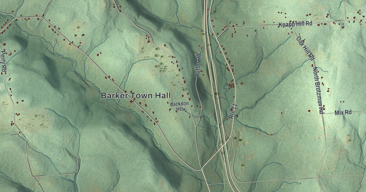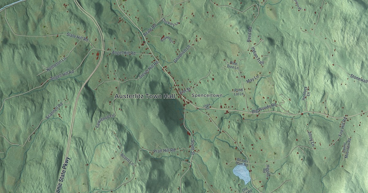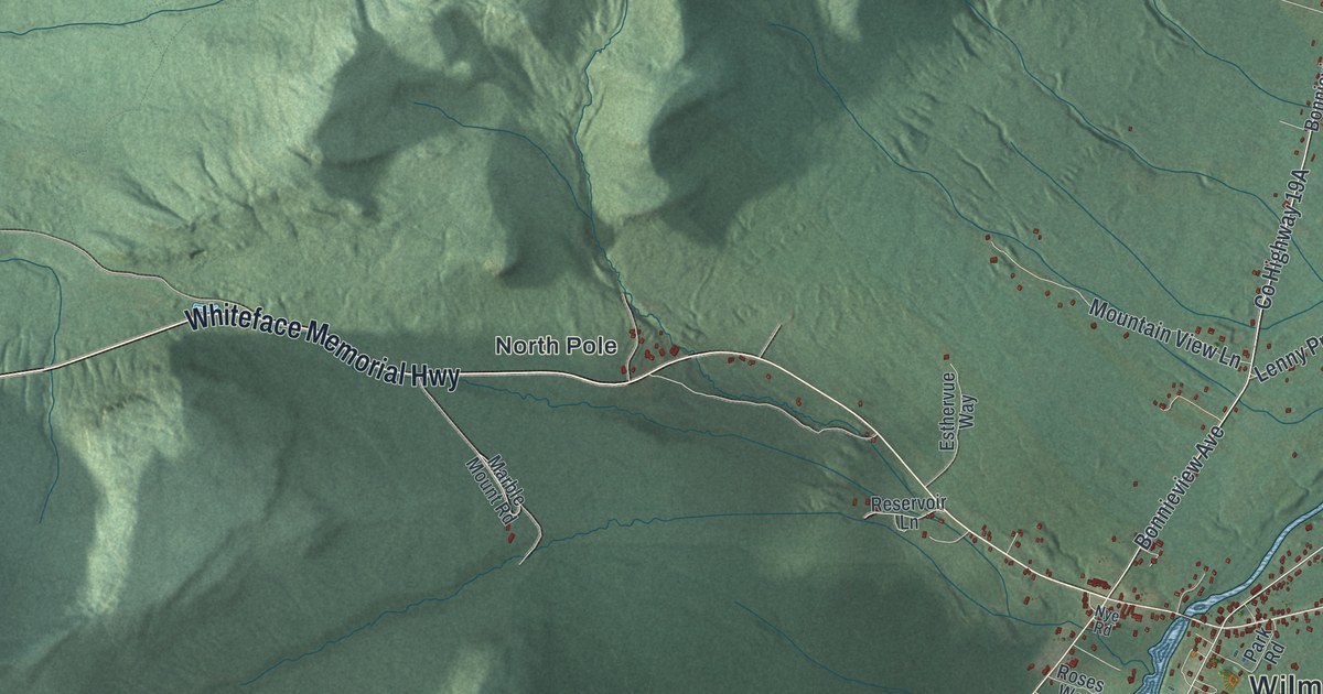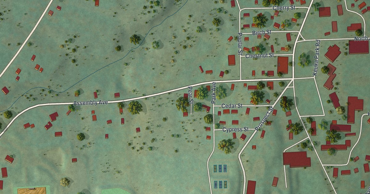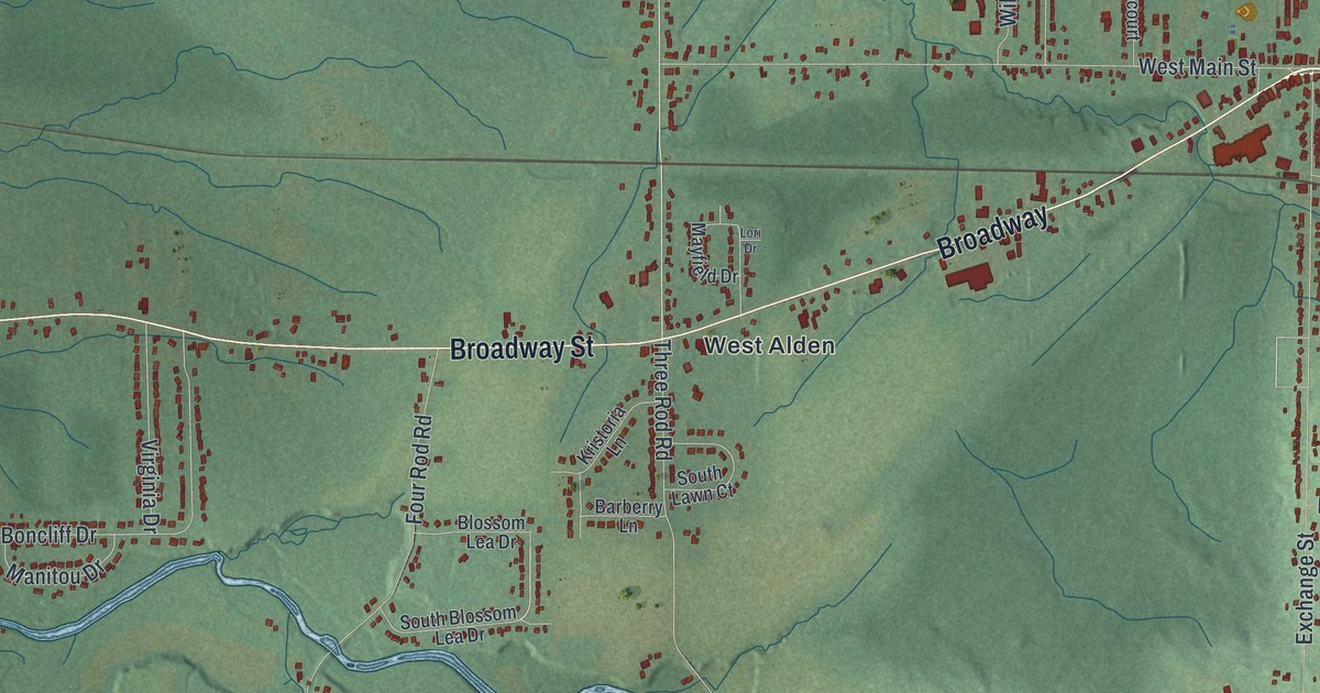
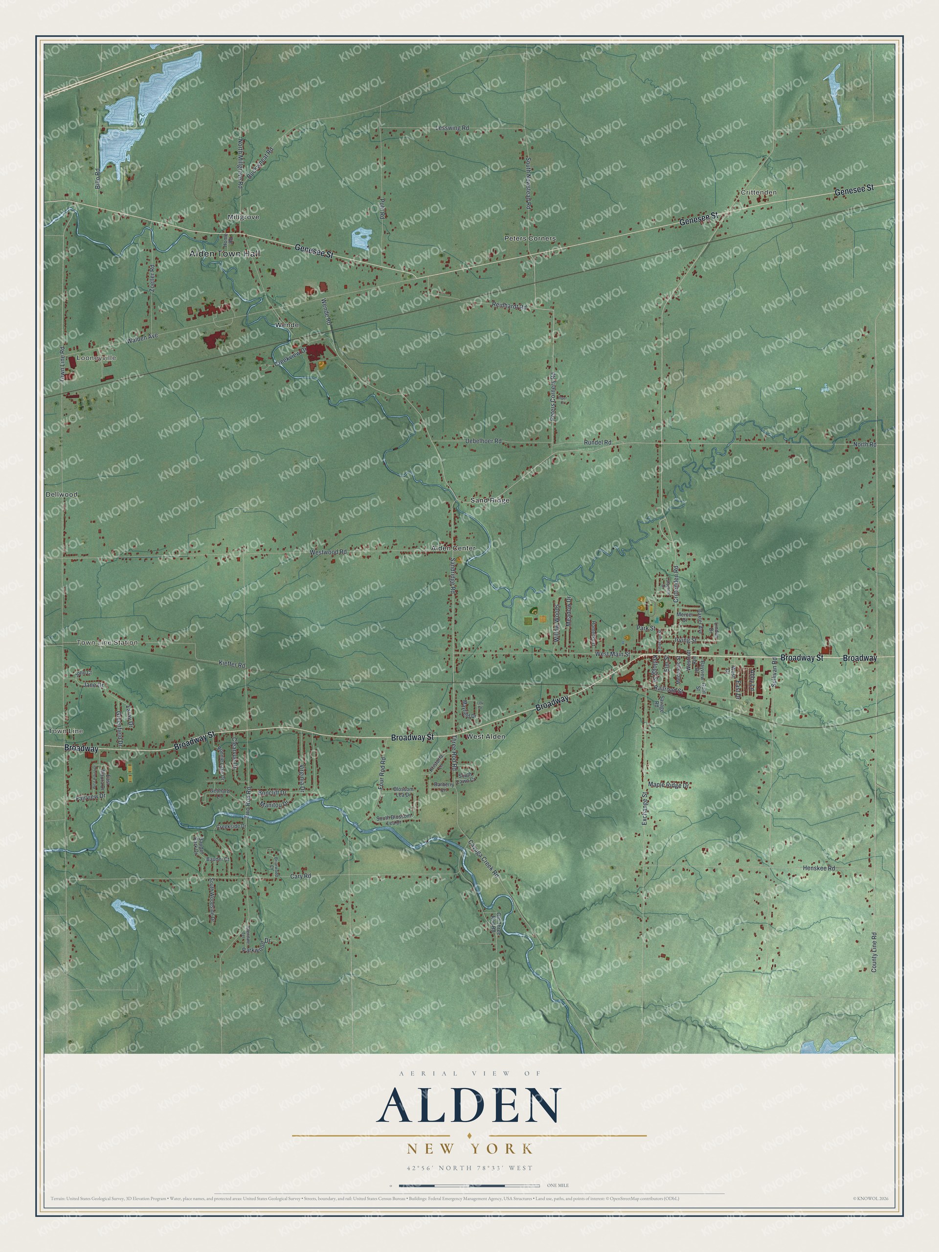
This beautifully detailed map of Alden, New York was created in 2026 using aerial imagery combined with modern topographical, census, street and landmark data. It’s a one-of-a-kind view of Alden that combines accurate data with a vintage aesthetic. The map shows every building in its true location, many of the roads carry their names, and the shaded topographic relief shows the shape of the land.
Explore an aerial view of Alden, New York
On the map you’ll find Alden Town Hall, Town Line, Looneyville, Crittenden, Town Line Station, and Alden Center, along with Broadway Street, Genesee Street, North Road, Sandridge Road, and more. If you look closely you can even find your house accurately drawn in its correct location. Zoom in on the preview to look for yours.
Take a closer look at the Alden map
Names on this map
These names are printed on this map.
Places: Alden Town Hall, Town Line, Looneyville, Crittenden, Town Line Station, Alden Center, Dellwood, Millgrove, Peters Corners, Sand Ridge, Wende and West Alden.
Streets and roads: Broadway Street, Broadway, Genesee Street, North Road, Sandridge Road, County Line Road, Laray Drive, Town Line Road, Crittenden Road, Two Rod Road, Cary Road, Westwood Road.
More street names, A to Z
Abby Lane, Barberry Lane, Bauder Court, Bauder Park Drive, Baxter Avenue, Bayview Drive, Billo Road, Blossom Lea Drive, Boncliff Drive, Bonnie Lake Drive, Briarwood Court, Buckwheat Road, Cayuga Creek Road, Clearvue Drive, Creekside Drive, Creekview Drive, East Alaura Drive, East Drive, Elm Street, Emerson Street, Exchange Street, Fairview Drive, Four Rod Road, Gebhard Lane, Glendale Terrace, Greenfield Drive, Guhl Street, Henskee Road, Homecourt, Home Road, Irving Street, Jane Drive, John Court, Kellogg Street, Kieffer Road, Kristoria Lane, Lafayette Drive, Lesswing Road, Lindan Drive, Lori Drive, Manitou Drive, Maple Ridge Drive, Mayfield Drive, Meadow Drive, Mechanic Street, Mercer Drive, North Millgrove Road, Old Three Rod Road, Park Street, Parkwood Drive, Peters Corners Road, Piper Court, Pohl Road, Railroad Street, Reinhardt Road, Rundel Road, Savage Road, South Blossom Lea Drive, South Lawn Court, South Newstead Road, South Woodside Drive, Sullivan Road, Three Rod Road, Uebelhoer Road, Virginia Drive, Walden Avenue, Wende Road, West Alaura Drive, Westcott Avenue, West Drive, West Main Street, Willow Woods, Zoeller Road.
See it on a wall
The Alden map as a framed print. Swipe for more.


This beautifully detailed map of Alden makes an attractive addition to your office, library, or den, and it can even be used to teach children the geography and history of the area. It also makes a great gift for someone who left Alden and still calls it home. When you’re done exploring, click here to get your copy of the Alden map.