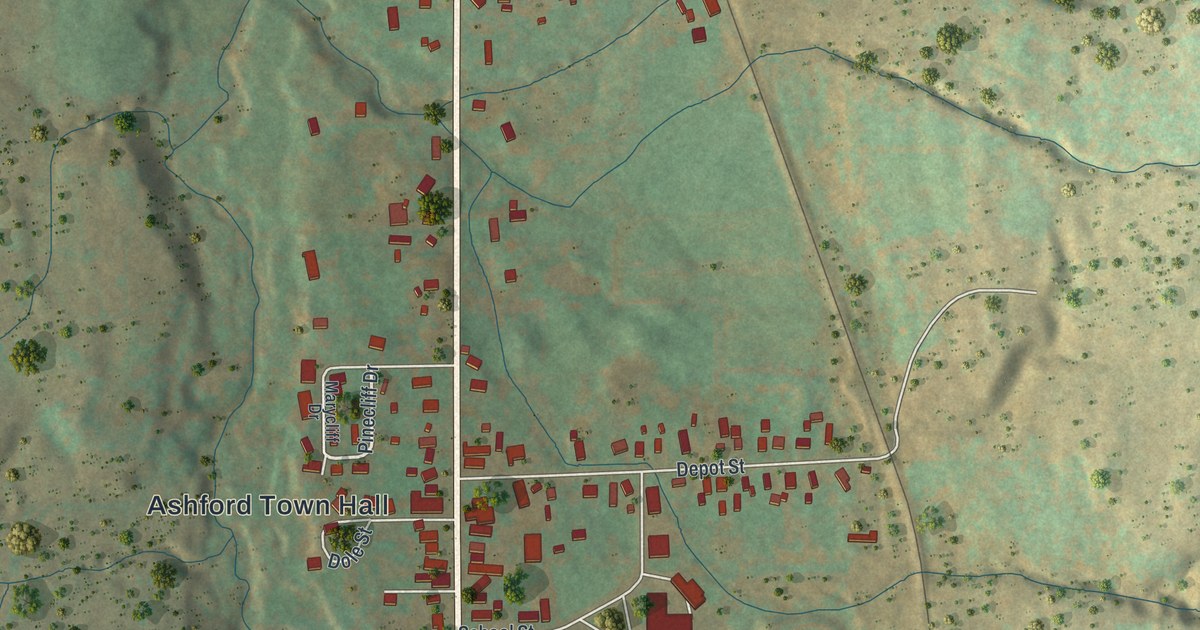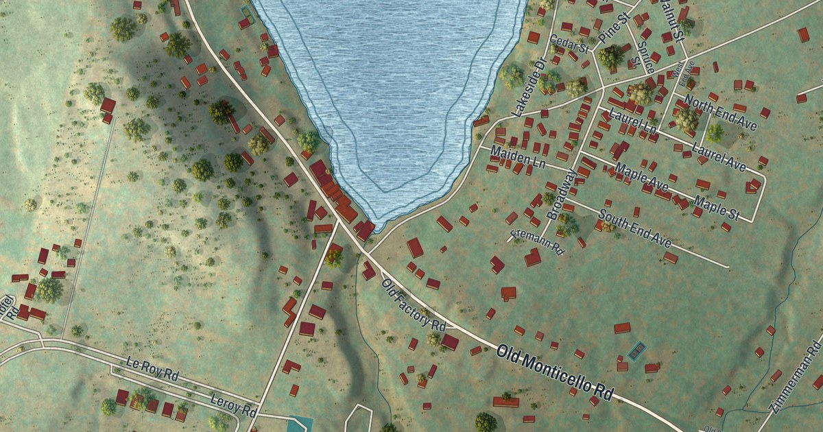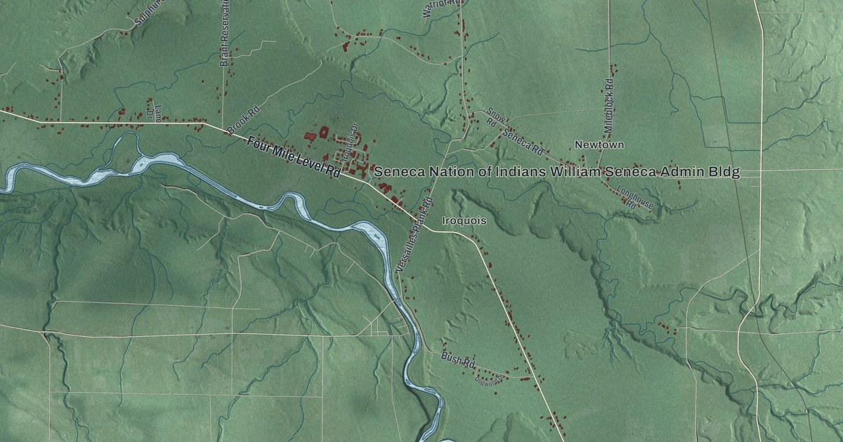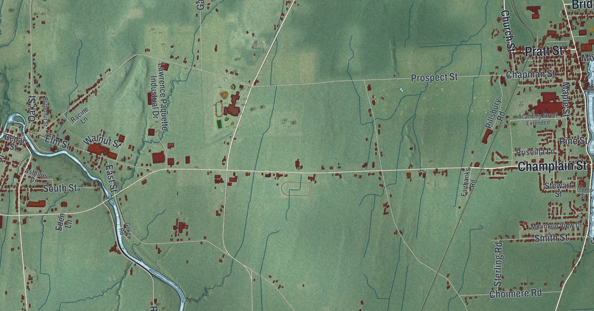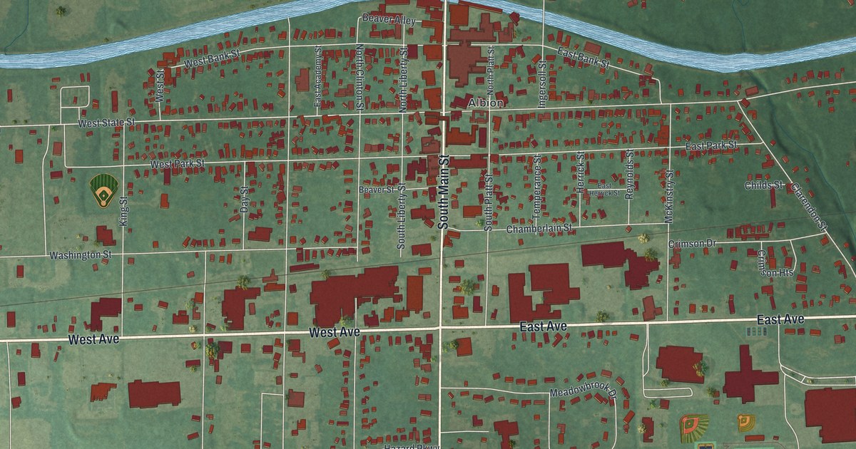
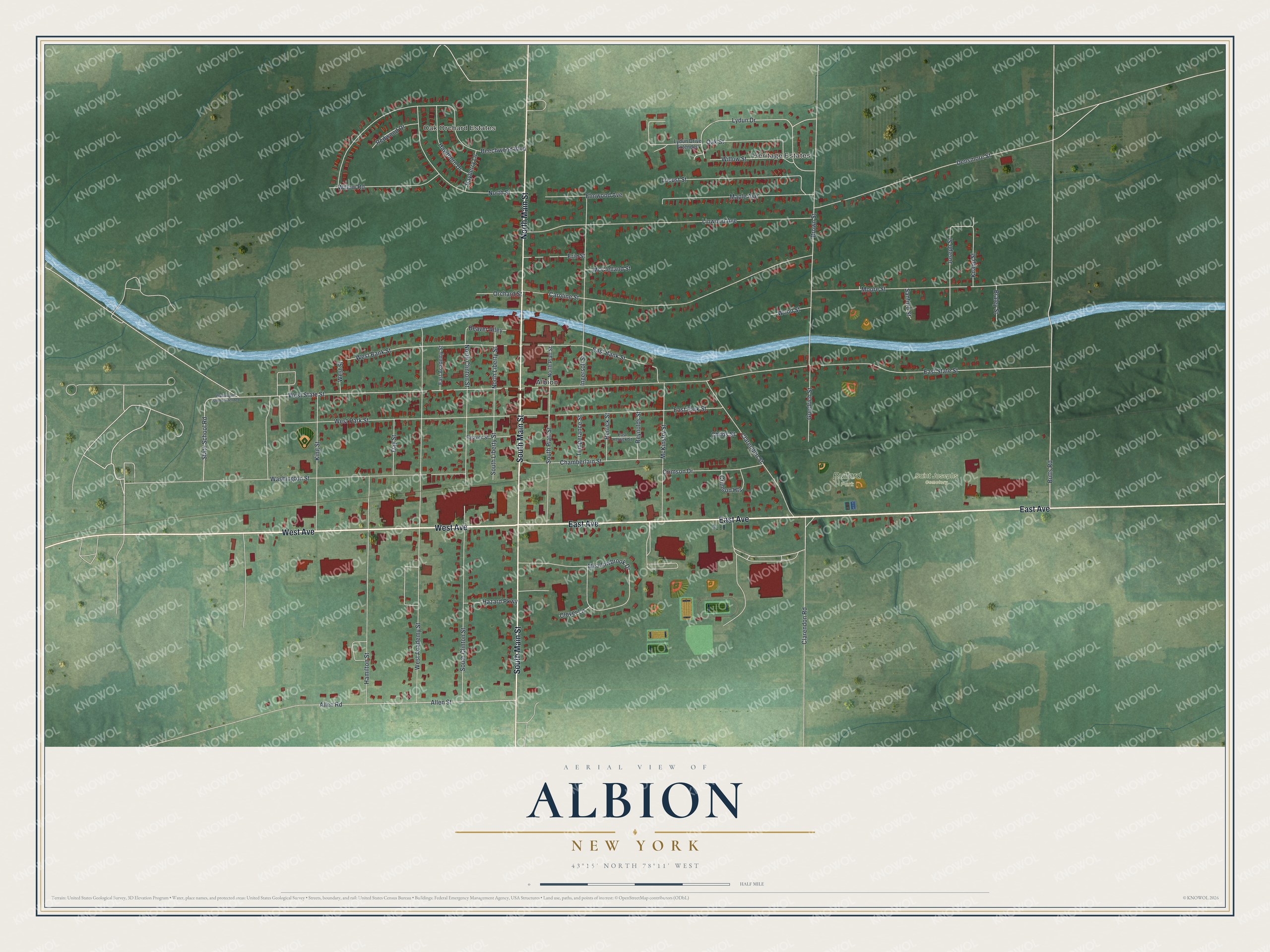
This beautifully detailed map of Albion, New York was created in 2026 using aerial imagery combined with modern topographical, census, street and landmark data. It’s a one-of-a-kind view of Albion that combines accurate data with a vintage aesthetic. The map shows every building in its true location, many of the roads carry their names, and the shaded topographic relief shows the shape of the land.
Explore an aerial view of Albion, New York
On the map you’ll find Bullard Park and Saint Josephs Cemetery, along with West Avenue, East Avenue, Main Street, Butts Road, Lydun Drive, and more. If you look closely you can even find your house accurately drawn in its correct location. Zoom in on the preview to look for yours.
Did You Know?
Albion grew because of the Erie Canal. In 1822 Nehemiah Ingersoll bought land where the planned canal would cross Oak Orchard Road. The village there was first called Newport. It was chosen as county seat in 1826, then renamed Albion to avoid mail mix-ups with the Newport in Oneida County.
Take a closer look at the Albion map
Names on this map
These names are printed on this map.
Places: Oak Orchard Estates, Heritage Estates, Bullard Park, Saint Josephs Cemetery and Albion.
Streets and roads: West Avenue, East Avenue, South Main Street, North Main Street, Butts Road, Lydun Drive, West State Street, Brown Street, Allen Street, Clarendon Street, West Park Street, West Bank Street.
More street names, A to Z
Allen Road, Bayberry Lane, Beaver Alley, Beaver Street, Beechwood Boulevard, Braley Street, Caroline Street, Chamberlain Street, Childs Street, Clarendon Road, Clover Lane, Crimson Drive, Crimson Heights, Day Street, Densmore Street, East Academy Street, East Bank Street, East Herrick Street, East Park Street, East State Street, Elmwood Avenue, Erie Street, Goodrich Street, Hamilton Street, Hawthorn Drive, Hazard Parkway, Herrick Street, Ingersoll Street, Joseph Street, King Street, Knapp Street, Linwood Avenue, Locust Street, Lydun Drive Extended, Maple Avenue, McClelland Street, McKinstry Street, Meadowbrook Drive, Moore Street, North Clinton Street, North Liberty Street, North Platt Street, North Street, Oak Street, Orchard Street, Redwood Drive, Reynolds Street, Sanford Street, South Clinton Street, South Liberty Street, South Platt Street, State School Road, Temperance Street, Washington Street, Washington Street Extended, West Academy Street, West Street, Willow Road, Willow Street, Wood Street.
See it on a wall
The Albion map as a framed print. Swipe for more.


This beautifully detailed map of Albion makes an attractive addition to your office, library, or den, and it can even be used to teach children the geography and history of the area. It also makes a great gift for anyone with Albion roots. When you’re done exploring, click here to get your copy of the Albion map.