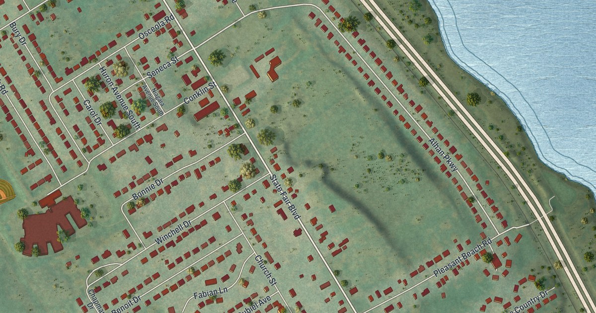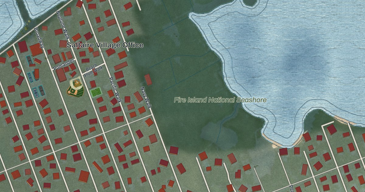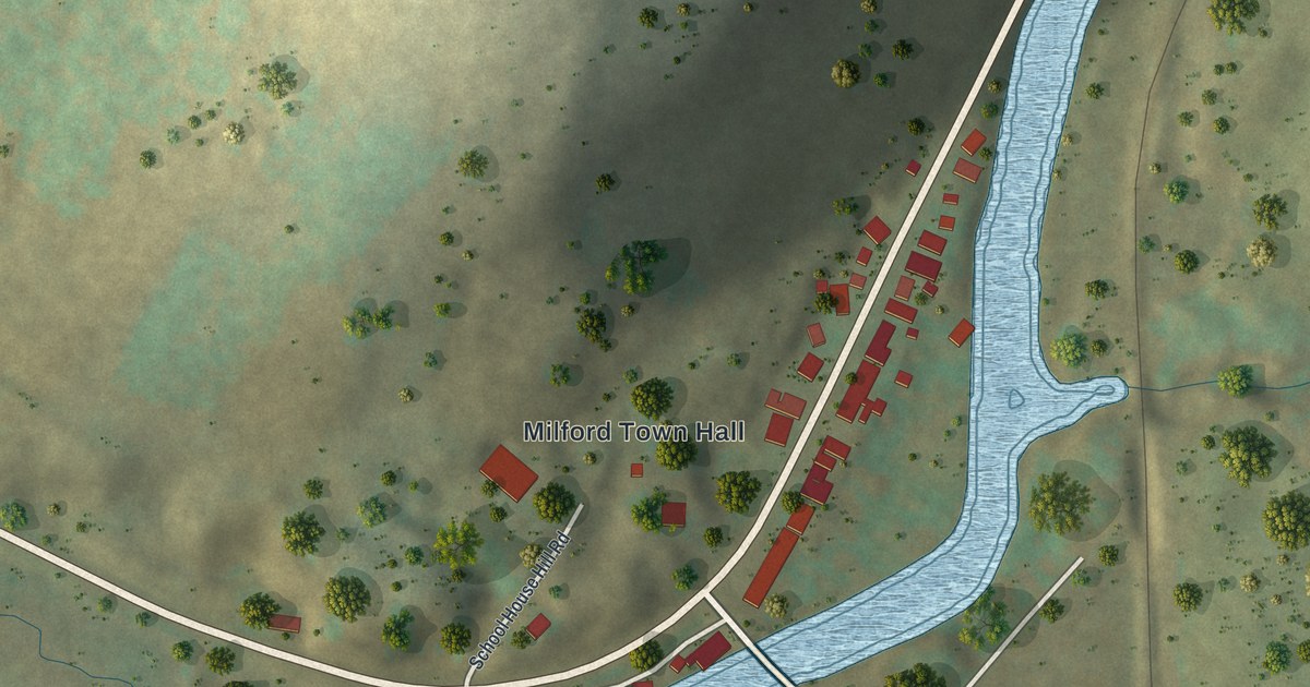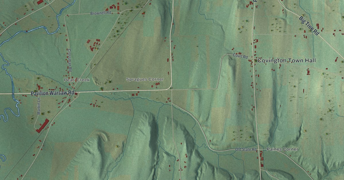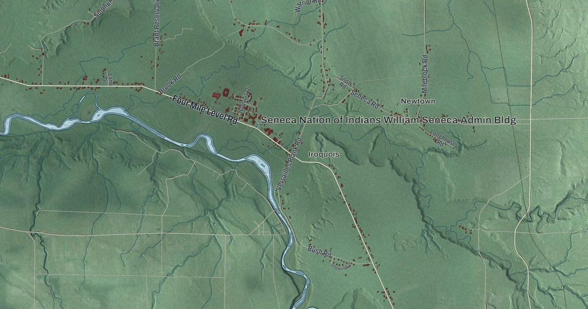
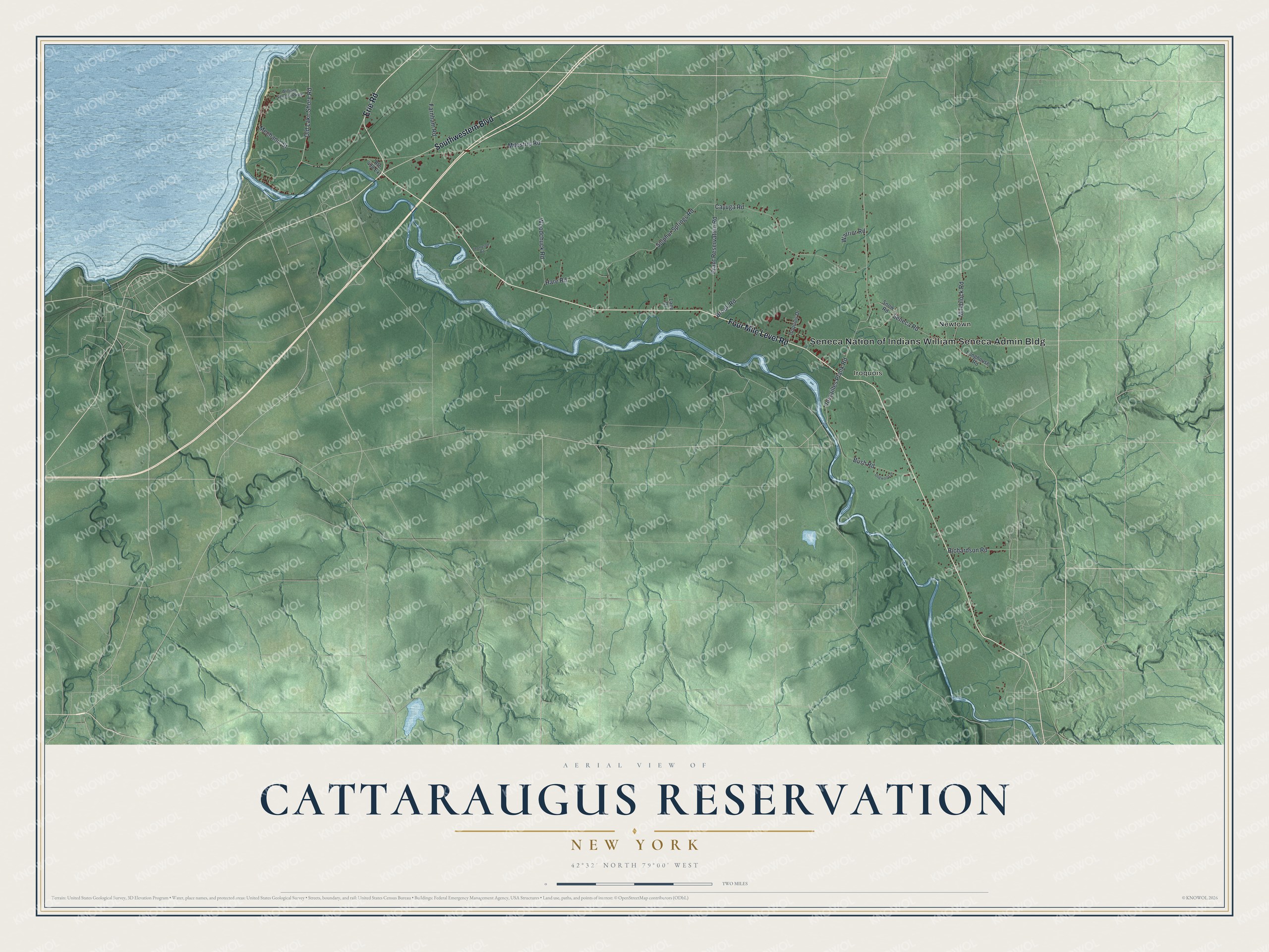
This beautifully detailed map of the Cattaraugus Reservation, New York was created in 2026 using aerial imagery combined with modern topographical, census, street and landmark data. It’s a one-of-a-kind view of the Cattaraugus Reservation that combines accurate data with a vintage aesthetic. The map shows every building in its true location, many of the roads carry their names, and the shaded topographic relief shows the shape of the land.
Explore an aerial view of Cattaraugus Reservation, New York
On the map you’ll find Iroquois and Newtown, along with Erie Road, Four Mile Level Road, Southwestern Boulevard, Old Lake Shore Road, Versailles Plank Road, and more. If you look closely you can even find your house accurately drawn in its correct location. Zoom in on the preview to look for yours.
Did You Know?
The Cattaraugus lands were first set aside for the Seneca in the 1797 Treaty of Big Tree. A disputed 1838 treaty threatened the Senecas with removal. A new treaty in 1842 let them keep Cattaraugus and Allegany. In 1848 the Seneca Nation set up its own elected constitutional government.
The Cattaraugus Territory is one of the lands of the Seneca Nation, the largest of the six nations of the Iroquois Confederacy. It follows Cattaraugus Creek from Gowanda downstream to the shore of Lake Erie and spans some 21,618 acres in Cattaraugus, Chautauqua, and Erie counties. The Seneca Nation of Indians William Seneca Administration Building is marked on the map.
Take a closer look at the Cattaraugus Reservation map
Names on this map
These names are printed on this map.
Places: Seneca Nation of Indians William Seneca Admin Bldg, Iroquois and Newtown.
Streets and roads: Erie Road, Four Mile Level Road, Southwestern Boulevard, Old Lake Shore Road, Versailles Plank Road, Seneca Road, Milestrip Road, Mechanic Street, Cayuga Road, Sulphur Springs Road, Brant Reservation Road, Woodchuck Road.
More street names, A to Z
Brook Road, Bush Road, Dogwood Drive, Farnham Road, Hare Road, Iroquois Drive, Lane Drive, Longhouse Road, Mileblock Road, Richardson Road, Route 438 Extension, Snow Road, Thompson Road, Warrior Road, William Seneca Parkway.
See it on a wall
The Cattaraugus Reservation map as a framed print. Swipe for more.


This beautifully detailed map of the Cattaraugus Reservation makes an attractive addition to your office, library, or den, and it can even be used to teach children the geography and history of the area. It also makes a great gift for anyone who grew up in the Cattaraugus Reservation or moved away. When you’re done exploring, click here to get your copy of the Cattaraugus Reservation map.