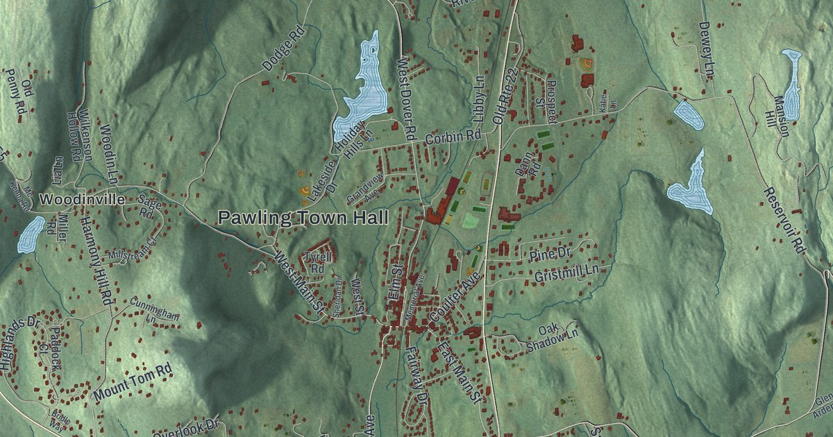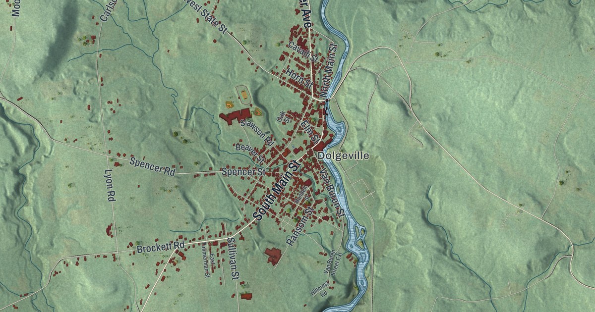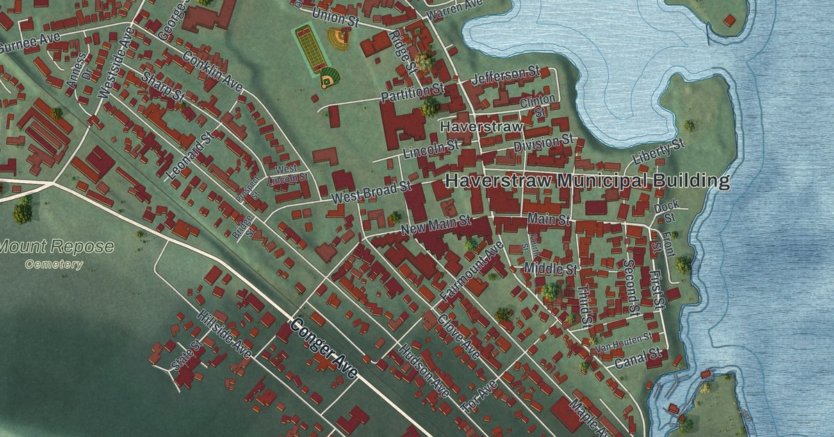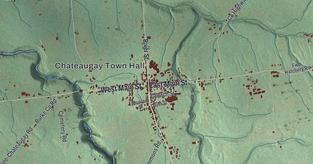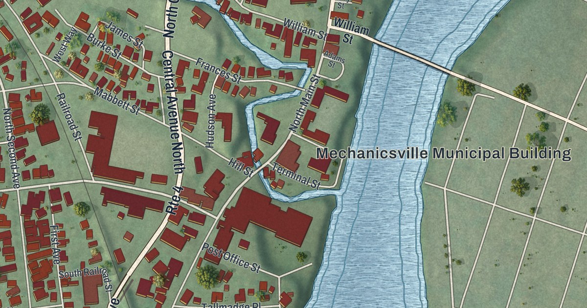
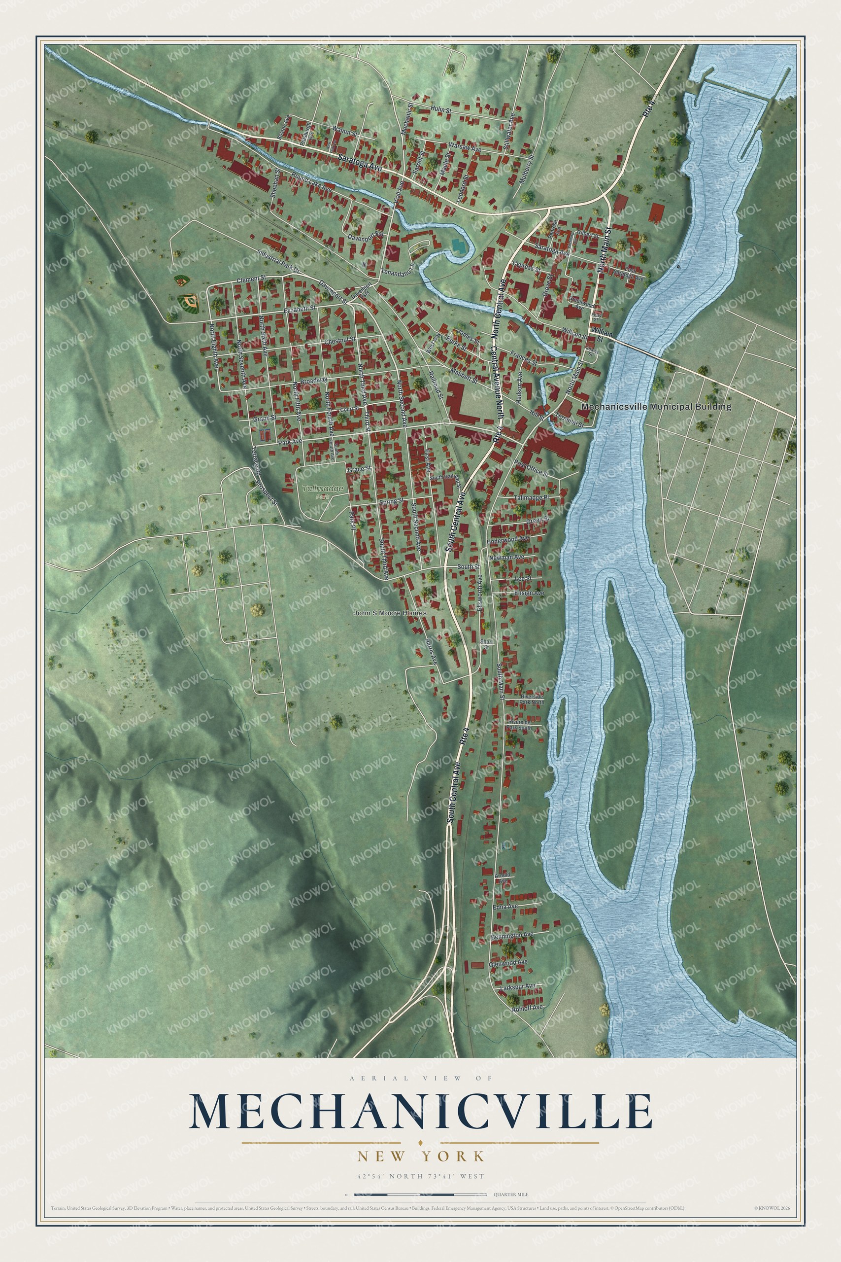
This beautifully detailed map of Mechanicville, New York was created in 2026 using aerial imagery combined with modern topographical, census, street and landmark data. It’s a one-of-a-kind view of Mechanicville that combines accurate data with a vintage aesthetic. The map shows every building in its true location, many of the roads carry their names, and the shaded topographic relief shows the shape of the land.
Explore an aerial view of Mechanicville, New York
On the map you’ll find Mechanicsville Municipal Building and Tallmadge Park, along with Main Street, Central Avenue, Saratoga Avenue, Second Avenue, and more. If you look closely you can even find your house accurately drawn in its correct location. Zoom in on the preview to look for yours.
Did You Know?
Mechanicville took its name from its early settlers. They were independent master craftsmen, such as millers, carpenters and butchers. In those days, trades like theirs were called the mechanical arts. The name first shows up in records in 1829.
Take a closer look at the Mechanicville map
Names on this map
These names are printed on this map.
Places: Mechanicsville Municipal Building, John S Moore Homes and Tallmadge Park.
Streets and roads: Route 4, North Main Street, South Central Avenue, Central Avenue North, North Central Avenue, Saratoga Avenue, North Second Avenue, Davenport Street, North Third Avenue, Clement Street, Park Avenue, Viall Avenue.
More street names, A to Z
Adams Street, Arnold Avenue, Bennington Avenue, Boston Avenue, Broadway, Burke Street, Chestnut Street, Court Street, Cypress Street, Davenport Est, Davenport Ests, East Saratoga Avenue, Edna Avenue, Elizabeth Street, Ellsworth Avenue, Ensign Avenue, Farrell Street, Ferry Street, First Avenue, Fitchburg Avenue, Frances Street, Gilbert Street, Glenwood Avenue, Grace Street, Grand Street, Green Street, Greenwood Avenue, Grove Street, Harris Avenue, Hill Street, Hudson Avenue, Hulin Street, Industrial Park Drive, James Street, Larkspur Avenue, Lee Street, Leonard Street, Mabbett Street, Maple Street, Mechanic Street, Mulberry Street, Newman Avenue, New York Avenue, North Eighth Avenue, North Fifth Avenue, North Fourth Avenue, North Seventh Avenue, North Sixth Avenue, Park Place, Penrose Avenue, Pittsburgh Avenue, Post Office Street, Prospect Street, Railroad Street, Riverside Park North, Riverside Park South, Rohloff Avenue, Round Lake Avenue, Sheehan Street, Short Street, South Fourth Avenue, South Main Street, South Railroad Street, South Second Avenue, South Street, South Third Avenue, Spring Street, Stillwater Avenue, Tallmadge Place, Tenandaho Lane, Terminal Street, Terrace Road, Third Street, Underwood Avenue, Walnut Street, Warsaw Avenue, West Way, William Street.
See it on a wall
The Mechanicville map as a framed print. Swipe for more.


This beautifully detailed map of Mechanicville makes an attractive addition to your office, library, or den, and it can even be used to teach children the geography and history of the area. It also makes a great gift for anyone who grew up in Mechanicville or moved away. When you’re done exploring, click here to get your copy of the Mechanicville map.