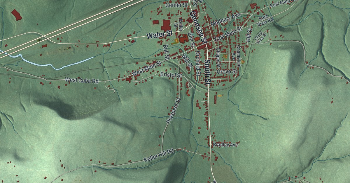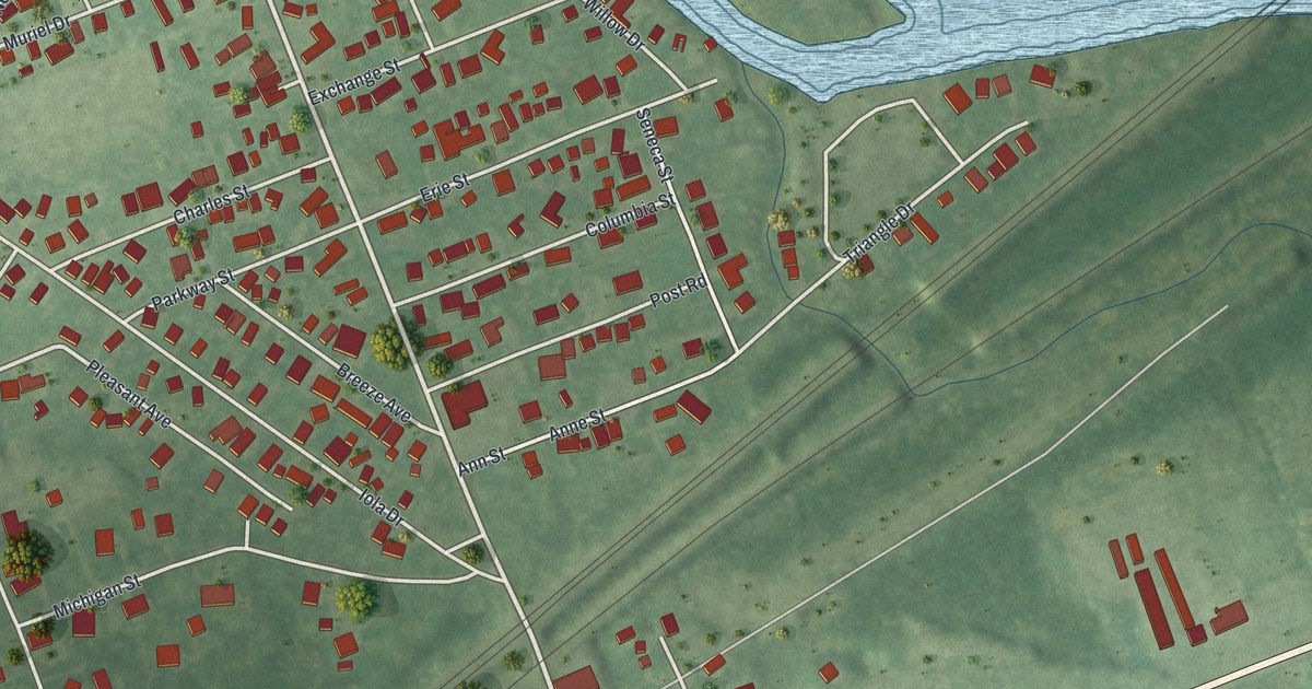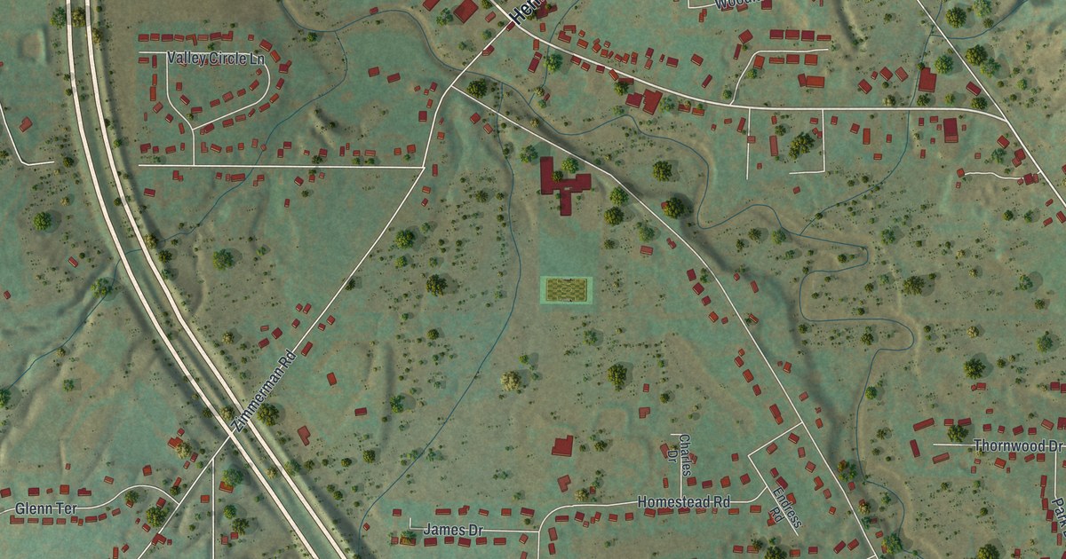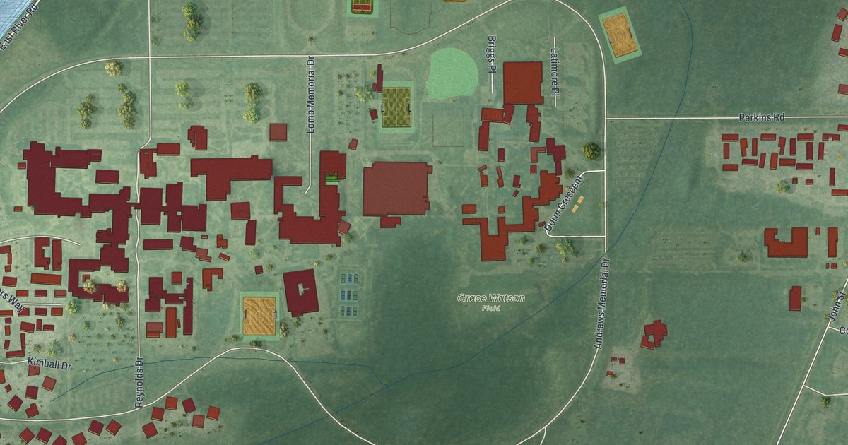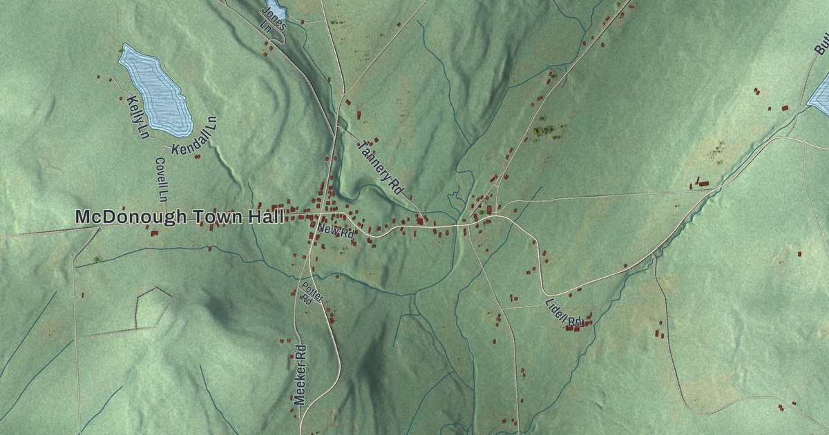
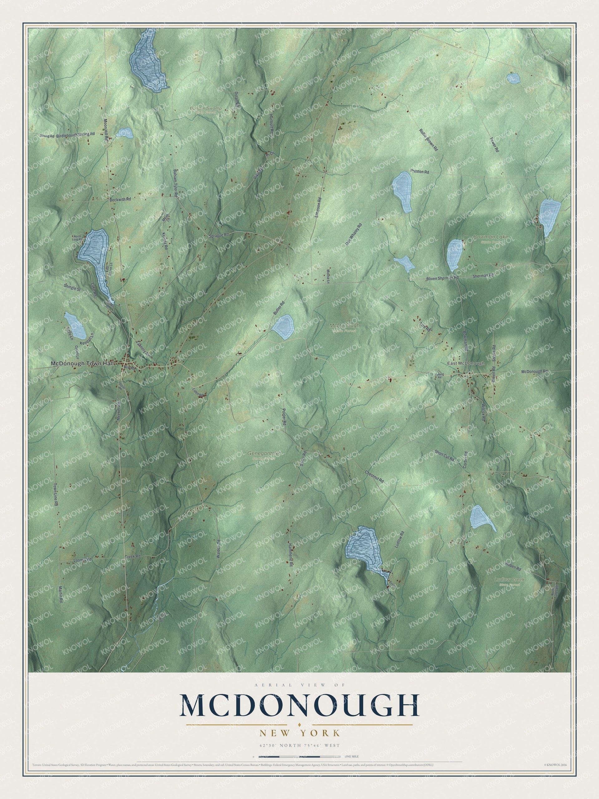
This beautifully detailed map of McDonough, New York was created in 2026 using aerial imagery combined with modern topographical, census, street and landmark data. It’s a one-of-a-kind view of McDonough that combines accurate data with a vintage aesthetic. The map shows every building in its true location, many of the roads carry their names, and the shaded topographic relief shows the shape of the land.
Explore an aerial view of McDonough, New York
On the map you’ll find McDonough Town Hall, East McDonough, Balsam Swamp State Forest, Bowman Lake State Park, Genegantslet State Forest, and Ludlow Creek State Forest, along with Bliven Sherman Road, Beckwith Road, Moon Hill Road, Martin Road, and more. If you look closely you can even find your house accurately drawn in its correct location. Zoom in on the preview to look for yours.
Did You Know?
McDonough honors Thomas Macdonough, a navy officer known for his service on Lake Champlain. A settler named Sylvanius Moore arrived around 1795. In 1816 the town was split off from Preston and began on its own.
Take a closer look at the McDonough map
Names on this map
These names are printed on this map.
Places: McDonough Town Hall, East McDonough, Balsam Swamp State Forest, Bowman Lake State Park, Genegantslet State Forest, Ludlow Creek State Forest and McDonough State Forest.
Streets and roads: Bliven Sherman Road, Beckwith Road, Moon Hill Road, Martin Road, Kendall Lane, Chestnut Road, Pike Road, Creek Road, Preston Road, Hoben Road, Steere Road, Town Line Road.
More street names, A to Z
Balsam Tyler Road, Birdlebough Strong Road, Bliven Road, Bowman Road, Butler Road, Corbin Road, Covell Lane, Dec Whaley Road, Dolan Road, East Shore Lane, Hammerle Road, Hurlburt Road, Jones Lane, Keinitz Road, Kelly Lane, Lake Road, Lidell Road, Loomis Road, Ludlow Road, McDonough Road, Mead Lane, Meeker Road, Moose Lane, New Road, North Loop Road, North Tyner Road, Pooler Road, Potter Road, Pr Drive, Rollie Brown Road, Ryberg Road, Sherman Road, Shingle Street, Shore Road, Short Cut Road, Simpson Road, Sprague Road, Strong Road, Sulphur Spring Road, Sunset Lane, Tannery Road, Tice Road, Tower Road, Waldon Road, Wilcox Road.
See it on a wall
The McDonough map as a framed print. Swipe for more.


This beautifully detailed map of McDonough makes an attractive addition to your office, library, or den, and it can even be used to teach children the geography and history of the area. It also makes a great gift for anyone who grew up in McDonough or moved away. When you’re done exploring, click here to get your copy of the McDonough map.