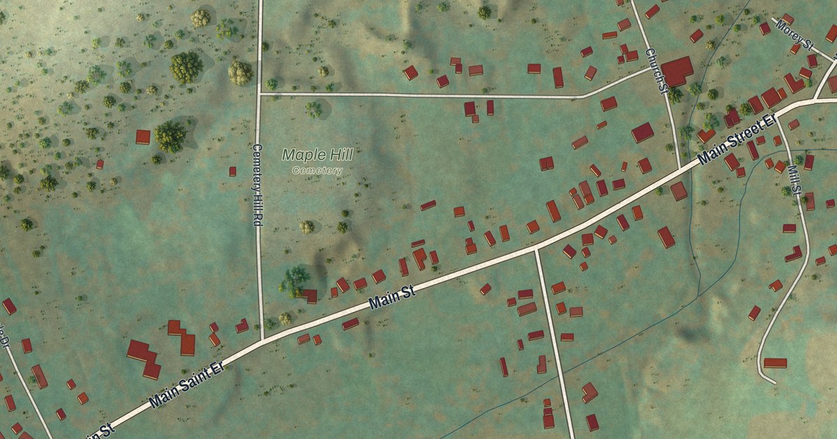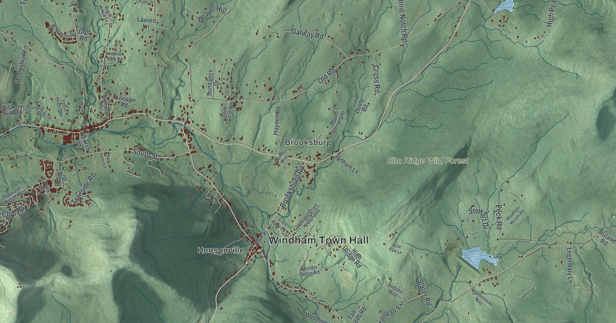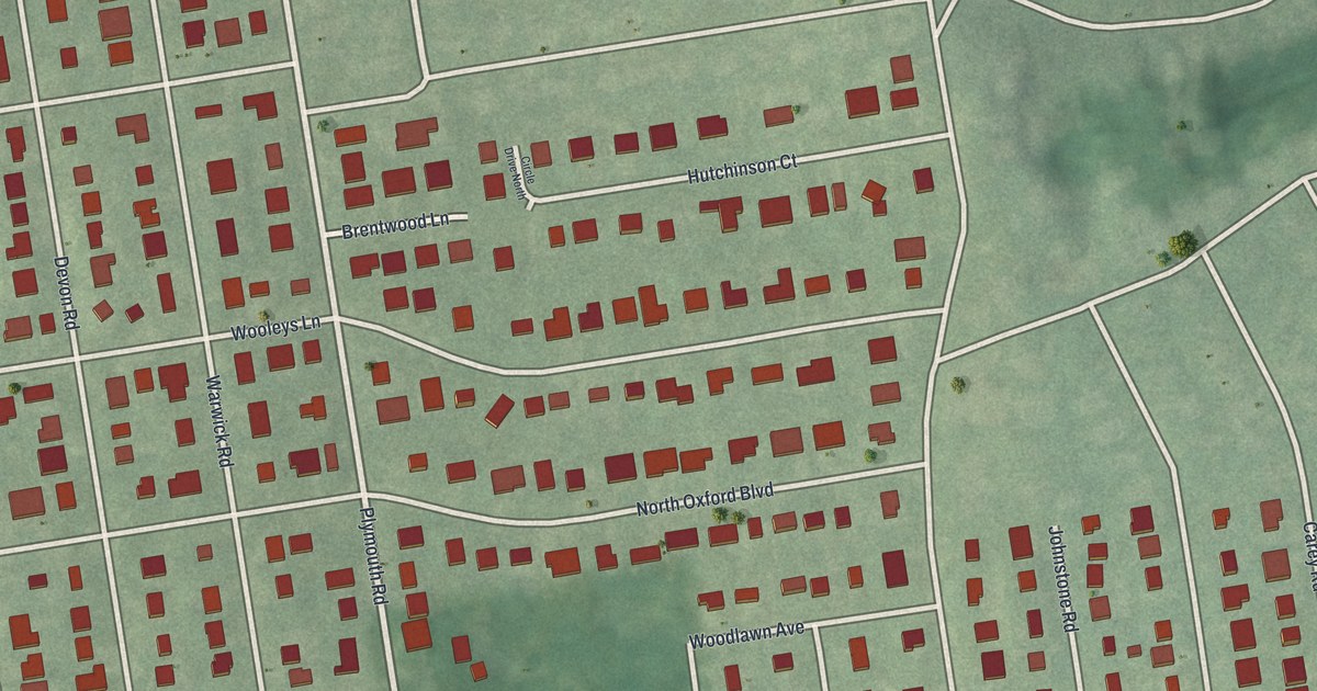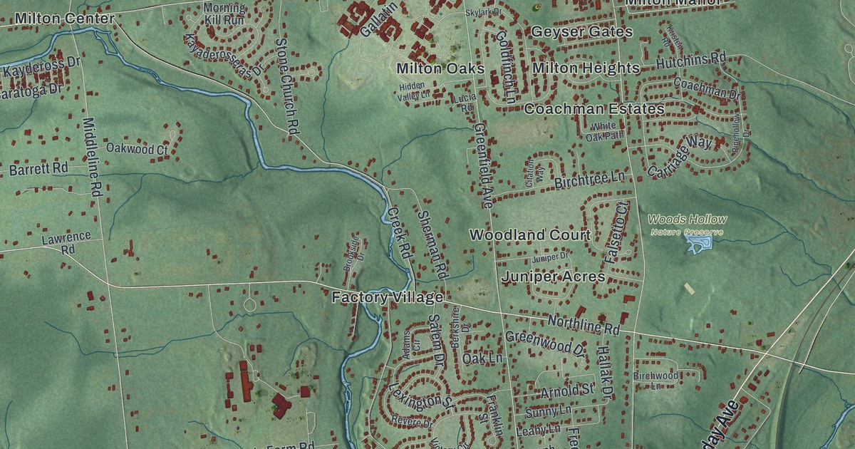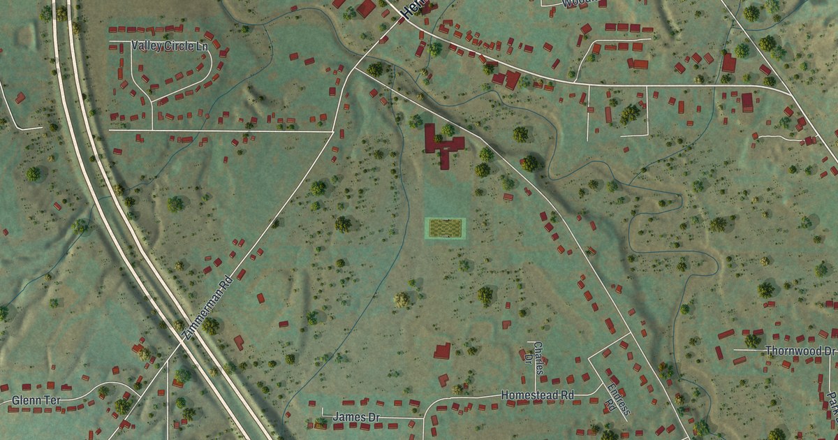
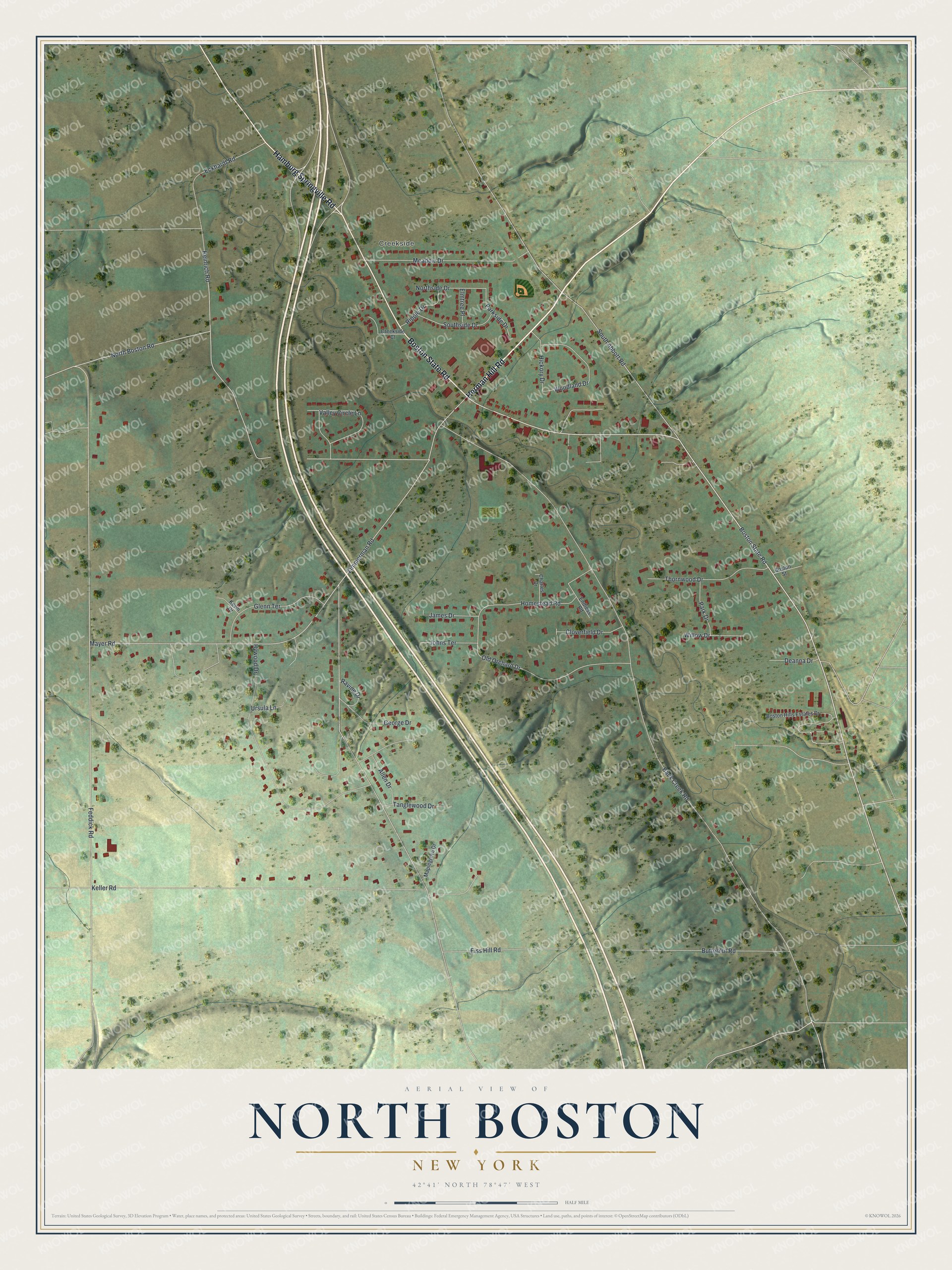
This beautifully detailed map of North Boston, New York was created in 2026 using aerial imagery combined with modern topographical, census, street and landmark data. It's a modern aerial view of North Boston in Erie County, New York, that combines modern data with a vintage aesthetic. The roads feature printed names, and if you look closely you can find your exact house accurately shown in its correct location.
Explore an aerial view of North Boston, New York
On this map you'll find Creekside, Herman Hill Road, Boston State Road, Hamburg Springville Road, Back Creek Road, Zimmerman Road, Feddick Road, Heinrich Road, South Abbott Road, Keller Road, Mayer Road, Hywood Drive, and more. Each red shape is a building, so zoom in on the preview and look for yours.
North Boston has a story worth telling. The Buffalo and Erie County Historical Society puts it this way: "John Twining and Benjamin Kester with some other Quakers settled at what came to be known as North Boston. A sawmill operated there as early as 1816, and a tavern was opened soon after." Before paved roads and cars, stores, taverns and a post office had to be within easy driving distance of the farms. That's why the town grew three hamlets, Boston, Patchin and North Boston, each with its own post office.
North Boston is a community in Erie County. The Census Bureau counted 2,529 people here in 2020.
Take a closer look at the North Boston map
Names on this map
These names are printed on this map.
Places: Creekside.
Streets and roads: Herman Hill Road, Boston State Road, Hamburg Springville Road, Back Creek Road, Zimmerman Road, Feddick Road, Heinrich Road, South Abbott Road, Keller Road, Mayer Road, Hywood Drive, Old Orchard Drive.
More street names, A to Z
Allen Drive, Boston Hills Estates Drive, Boston Street, Butternut Road, Charles Drive, Cloverfield Drive, Creekside Court, Deanna Drive, Eckhardt Road, Eiss Hill Road, Elmtree Place, Endress Road, George Drive, Glenn Terrace, Hickory Drive, Homestead Road, James Drive, Johns Terrace, Kevin Drive, Maplegrove Drive, Meadow Drive, North Boston Road, Northside Drive, Park Drive, Parkside Drive, Ravine Drive, Ripple Drive, Southside Drive, Tanglewood Drive, Thornwood Drive, Ursula Lane, Valley Circle Lane, Willow Drive, Woodland Drive.
See it on a wall
The North Boston map as a framed print. Swipe for more.


Created by KNOWOL in 2026. The buildings are small red shapes, the roads carry their printed names, and shaded relief shows the shape of the land. The title panel reads "AERIAL VIEW OF NORTH BOSTON, NEW YORK" with 42°41' NORTH 78°47' WEST.
It looks right in a kitchen, an office or a den, and it's a gift for anyone who grew up in North Boston or moved away. Open the preview and find your street. See sizes and frames for the North Boston map.