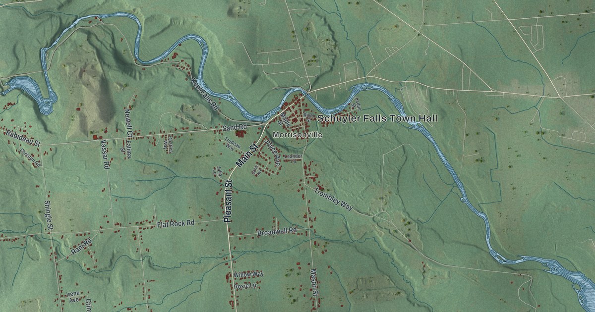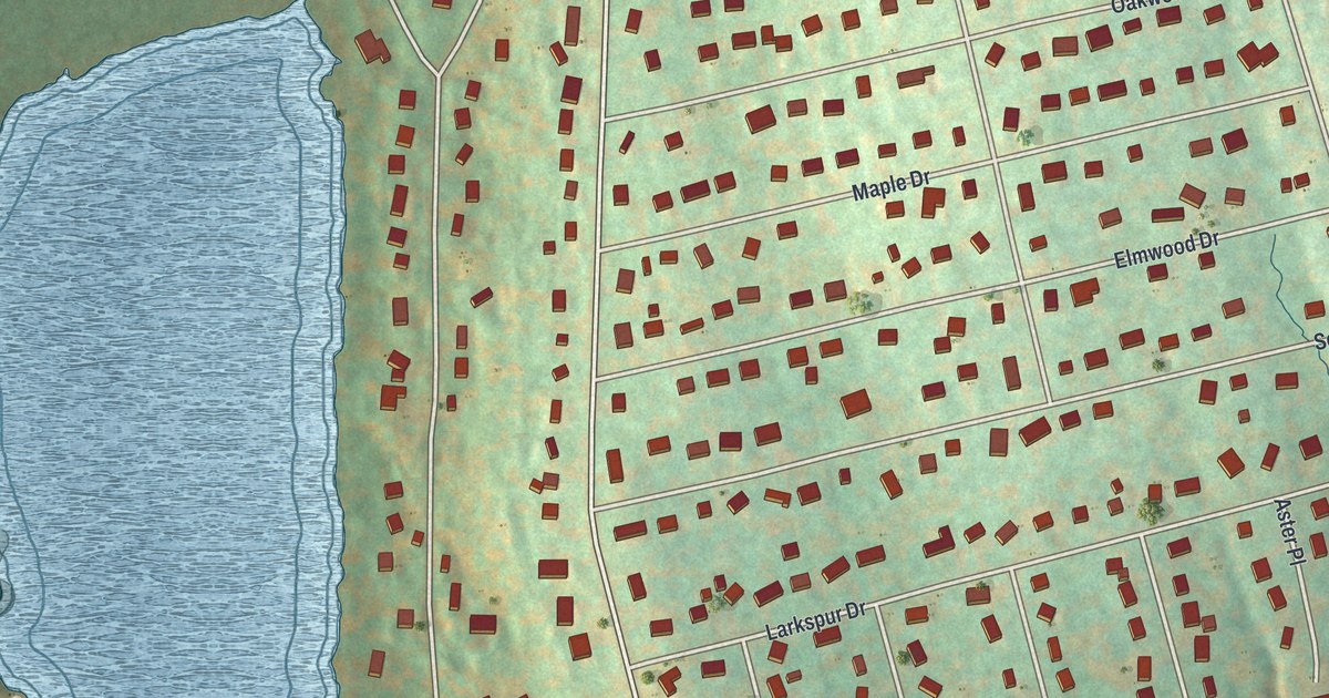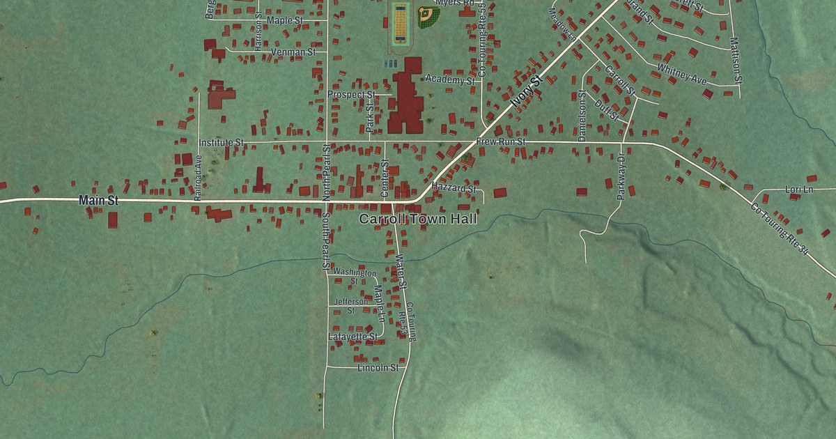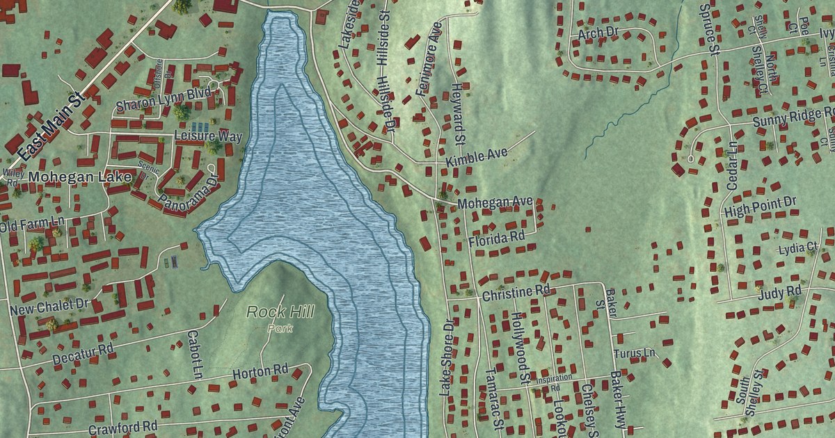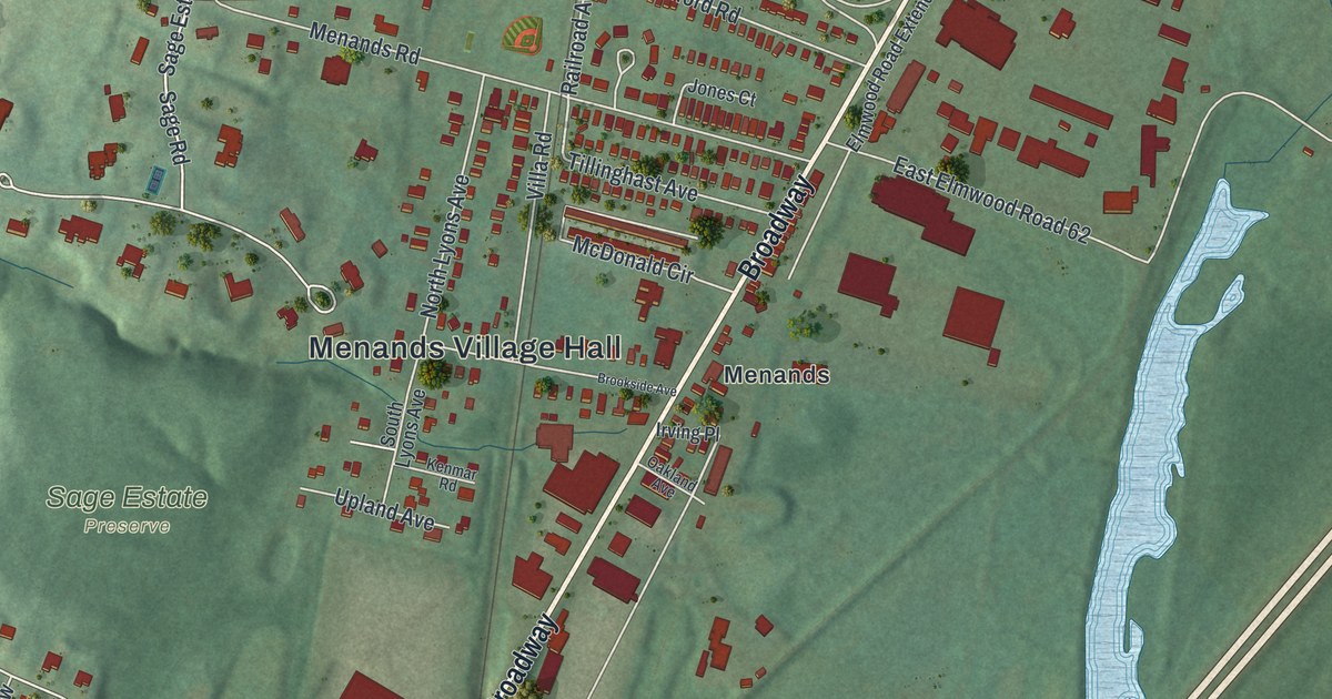
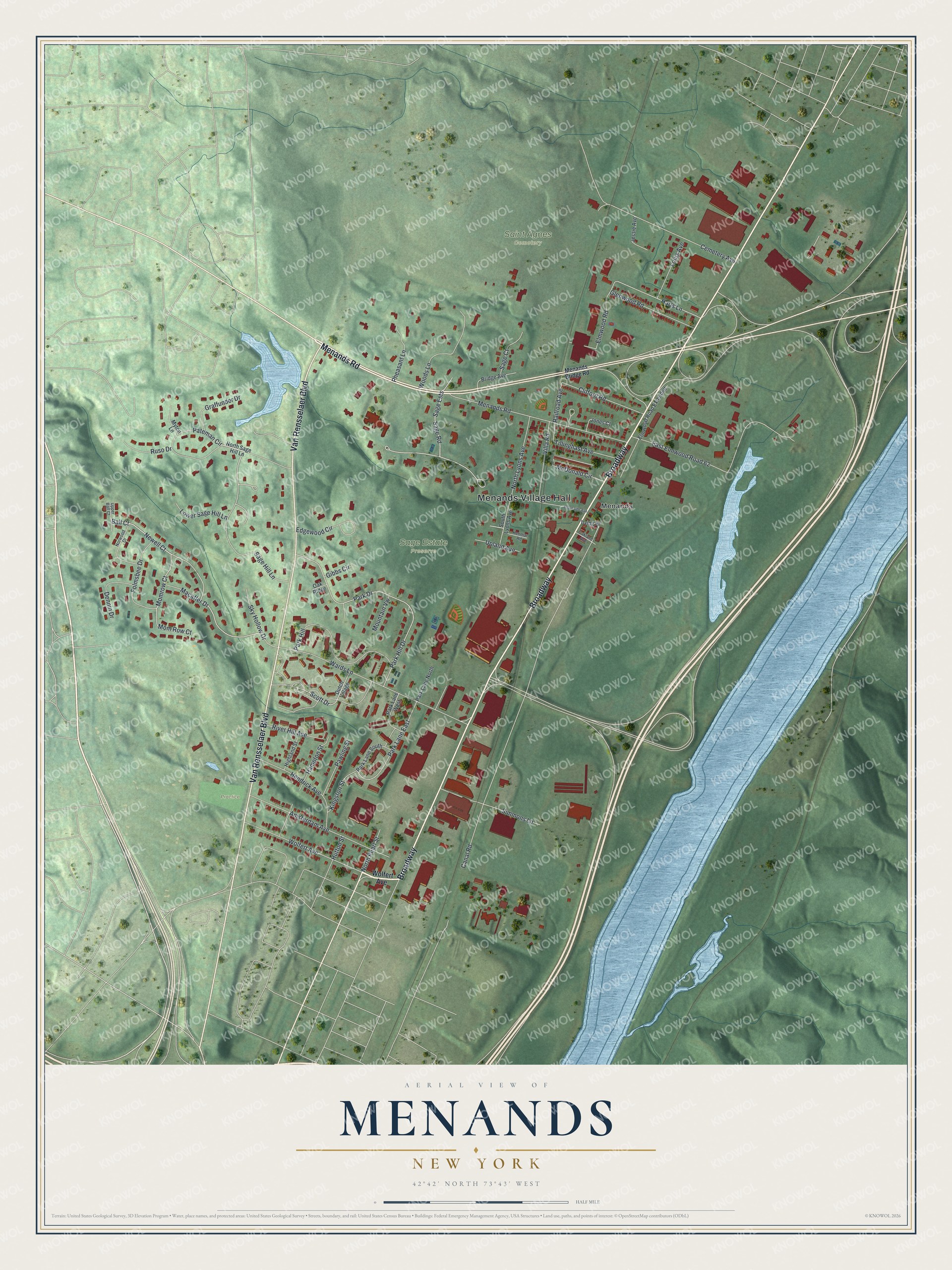
This beautifully detailed map of Menands, New York was created in 2026 using aerial imagery combined with modern topographical, census, street and landmark data. It’s a one-of-a-kind view of Menands that combines accurate data with a vintage aesthetic. The map shows every building in its true location, many of the roads carry their names, and the shaded topographic relief shows the shape of the land.
Explore an aerial view of Menands, New York
On the map you’ll find Menands Village Hall and Saint Agnes Cemetery, along with Menands Road, Van Rensselaer Boulevard, Menands Bridge Road, Sage Hill Lane, and more. If you look closely you can even find your house accurately drawn in its correct location. Zoom in on the preview to look for yours.
Did You Know?
Menands is named for Louis Menand, who settled here in 1842 and built an important horticultural business. After the Albany and Northern Railroad came through in 1856, its stop was called Menand’s Crossing. No one else owned land around the stop back then.
Take a closer look at the Menands map
Names on this map
These names are printed on this map.
Places: Menands Village Hall, Sage Estate Preserve, Saint Agnes Cemetery, Practice and Menands.
Streets and roads: Broadway, Menands Road, Van Rensselaer Boulevard, Sage Hill Lane, Momrow Court, Ball Court, Newell Court, Harts Lane, Canal Road, Sage Ests, Sage Road, Railroad Avenue.
More street names, A to Z
Amsterdam Avenue, Bridge Avenue, Brookside Avenue, Cemetery Avenue, Clifford Road, Dennin Drive, Dutch Village, East Elmwood Road 62, Edgewood Circle, Elmwood Road, Elmwood Road Extended, Folmsbee Drive, Gibbs Circle, Glenwood Road, Graffunder Drive, Hampton Street, Hendrick Avenue, Highland Street, Hutton Street, Irving Place, Jessie Avenue, Jones Court, Kenmar Road, Kingston Street, Louis Avenue, Lower Sage Hill Lane, Macaffer Drive, McDonald Circle, Menands Bridge Road, Mom Row Court, Mountain Vw, Myton Lane, North Lyons Avenue, North Pearl Street, North Sage Hill Lane, Norwood Drive, Oakland Avenue, Oak Ridge, Park Drive, Park Hill, Park Hill Drive, Park Lane East, Park Lane North, Park Lane South, Park Lane West, Pateman Circle, Pawling Street, Pheasant Lane, River Hill Avenue, Ruso Drive, Sage Court, Scott Drive, Simmons Lane, Sky Hollow Drive, South Lyons Avenue, Tillinghast Avenue, Upland Avenue, Upper Ball Court, Villa Road, Wards Lane, Wolfert Avenue, Woods Lane.
See it on a wall
The Menands map as a framed print. Swipe for more.


This beautifully detailed map of Menands makes an attractive addition to your office, library, or den, and it can even be used to teach children the geography and history of the area. It also makes a great gift for anyone who grew up in Menands or moved away. When you’re done exploring, click here to get your copy of the Menands map.