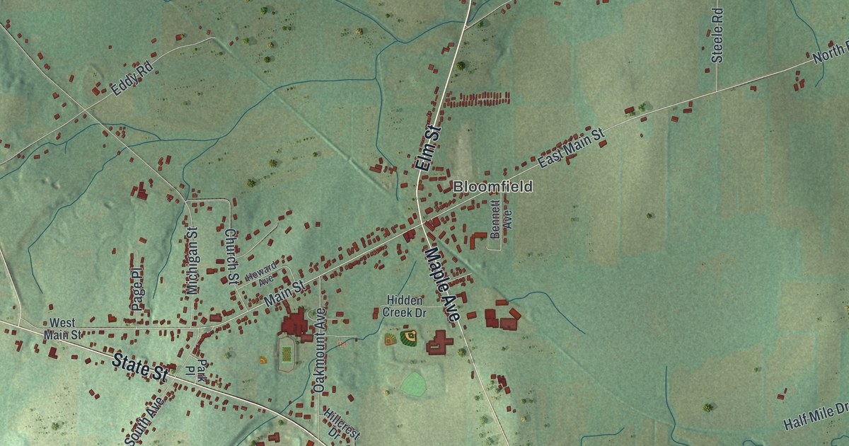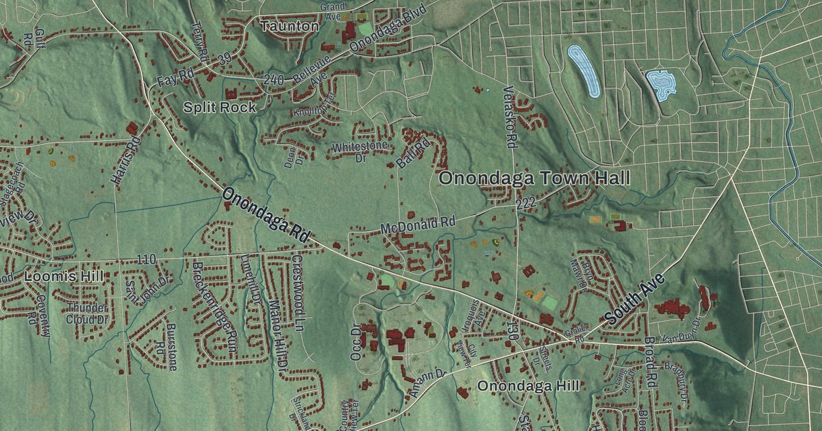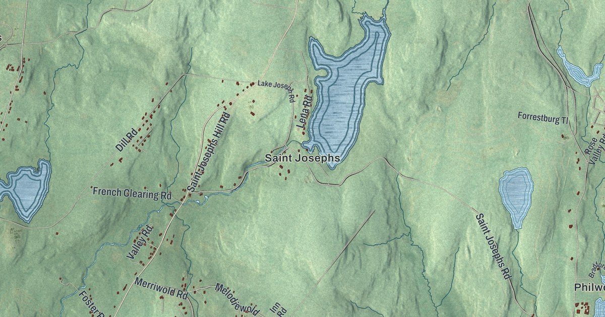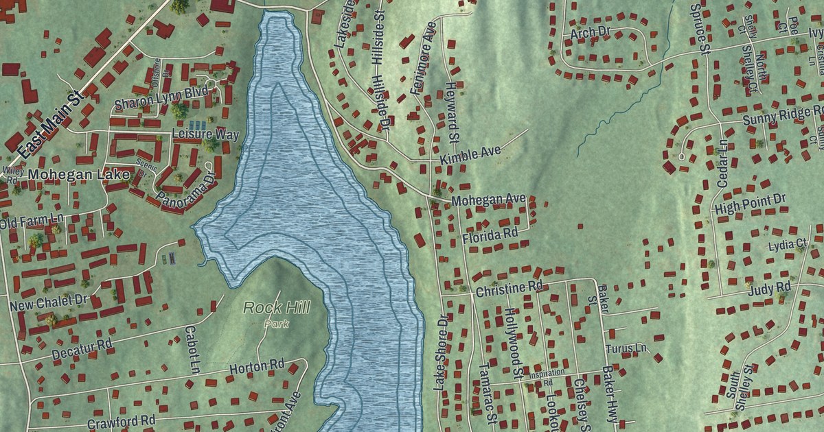
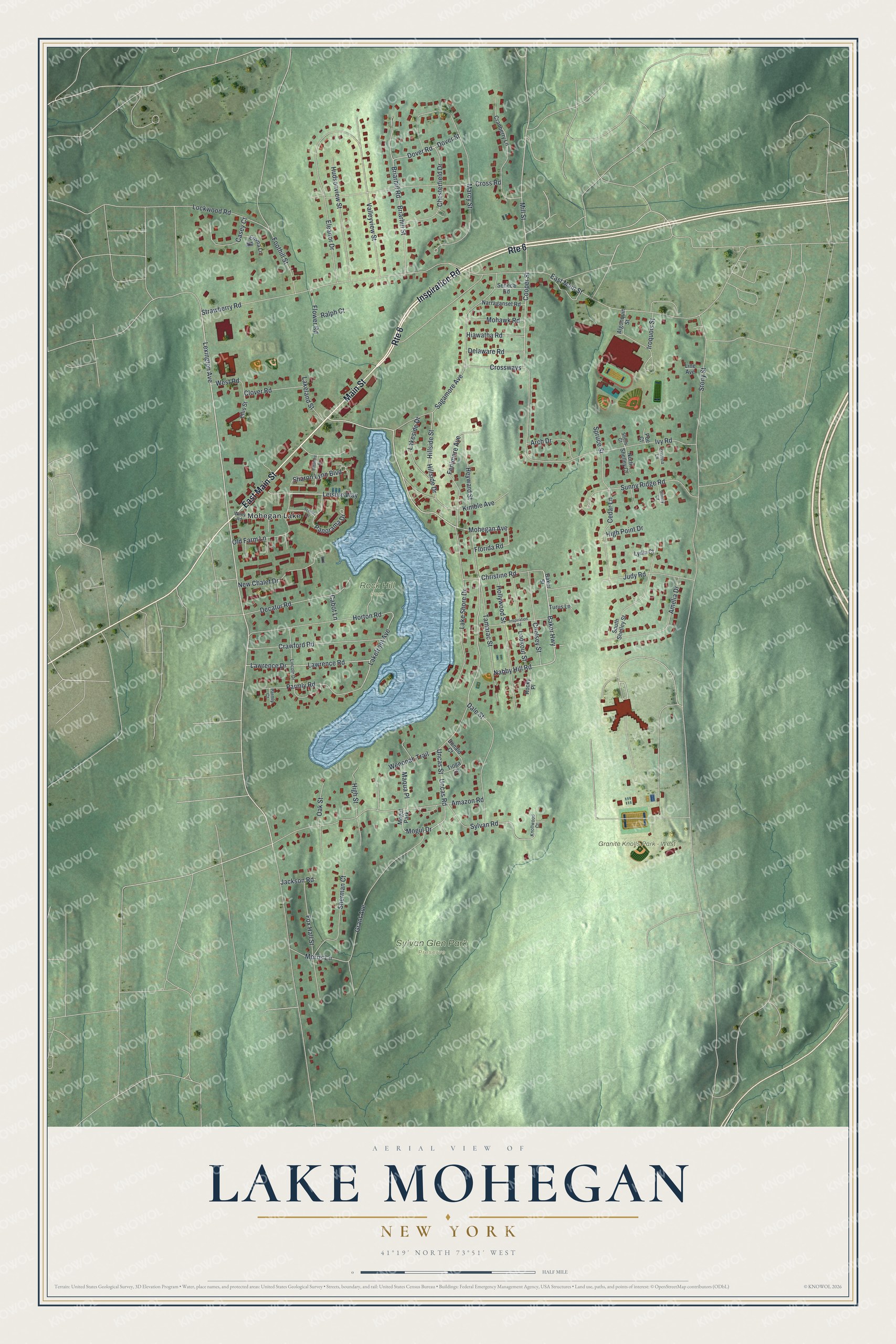
This beautifully detailed map of Lake Mohegan, New York was created in 2026 using aerial imagery combined with modern topographical, census, street and landmark data. It's a modern aerial view of Lake Mohegan in Westchester County, New York, that combines modern data with a vintage aesthetic. The roads feature printed names, and if you look closely you can find your exact house accurately shown in its correct location.
Explore an aerial view of Lake Mohegan, New York
On this map you'll find Granite Knolls Park – West, Rock Hill Park, Sylvan Glen Park Preserve, Mohegan Lake, Inspiration Road, East Main Street, Main Street, Lexington Avenue, Mohegan Avenue, Panorama Drive, Leisure Way, Baker Highway, and more. Each red shape is a building, so zoom in on the preview and look for yours.
Lake Mohegan is a community in Westchester County. The Census Bureau counted 5,896 people here in 2020. The map prints the town name in its title panel, with the coordinates below it.
Take a closer look at the Lake Mohegan map
Names on this map
These names are printed on this map.
Places: Granite Knolls Park - West, Rock Hill Park, Sylvan Glen Park Preserve, Mohegan Lake and Mogul Park.
Streets and roads: Inspiration Road, East Main Street, Route 6, Main Street, Lexington Avenue, Mohegan Avenue, Panorama Drive, Leisure Way, Baker Highway, Nabby Hill Road, Cooper Street, Mill Street.
More street names, A to Z
Algonquin Street, Amazon Road, Amelia Drive, Arch Drive, Baker Street, Briarhill Road, Briarhill Street, Cabot Lane, Casey Court, Cedar Lane, Chelsey Street, Chesterfield Drive, Christine Road, Clover Road, Cranberry Lane, Crawford Road, Cristina Lane, Cross Road, Crossways, Dale Street, Decatur Road, Delaware Road, Donald Court, Dover Road, Dover Street, Eleanor Drive, Ellis Street, Emma Lane, Fenimore Avenue, Florida Road, Flower Road, Foothill Street, Fox Hall Street, Grant Avenue, Heyward Street, Hiawatha Road, High Point Drive, High Street, Hillside Drive, Hillside Street, Hollywood Street, Horton Road, Hudsonview Street, Iroquois Street, Ivy Road, Jackson Road, Judy Road, Kimble Avenue, Knollwood Court, Lakefront Avenue, Lakeland Street, Lake Shore Drive, Lakeside Drive, Lawrence Drive, Lawrence Road, Lincoln Drive, Line Avenue, Lockwood Road, Lookout Street, Lydia Court, Maqua Place, Marcy Street, Mogul Drive, Mohawk Road, Morris Lane, Narraganset Road, New Chalet Drive, North Shelley Court, Oak Street, Offshore Drive, Old Farm Lane, Parmly Court, Parmly Road, Poe Court, Ralph Court, Rocky Place, Sagamore Avenue, Scenic Drive, Seneca Road, Sharon Lynn Boulevard, Shelly Court, Sherman Court, South Shelley Street, Spruce Street, Stony Street, Strawberry Road, Sunny Court, Sunny Ridge Road, Sylvan Road, Tamarac Street, Tioga Lane, Turus Lane, Uncas Road, Uncas Street, Valleyview Street, Wenonah Trail, West Road, Wiley Road.
See it on a wall
The Lake Mohegan map as a framed print. Swipe for more.


Created by KNOWOL in 2026. The buildings are small red shapes, the roads carry their printed names, and shaded relief shows the shape of the land. The title panel reads "AERIAL VIEW OF LAKE MOHEGAN, NEW YORK" with 41°19' NORTH 73°51' WEST.
Hang it in the hallway, the office or the cabin, or give it to someone who left Lake Mohegan and still calls it home. Open the preview and look for a street you know. See sizes and frames for the Lake Mohegan map.