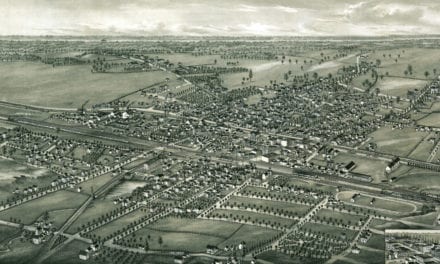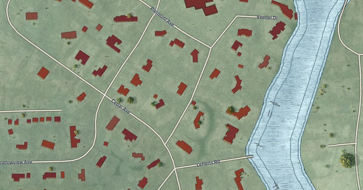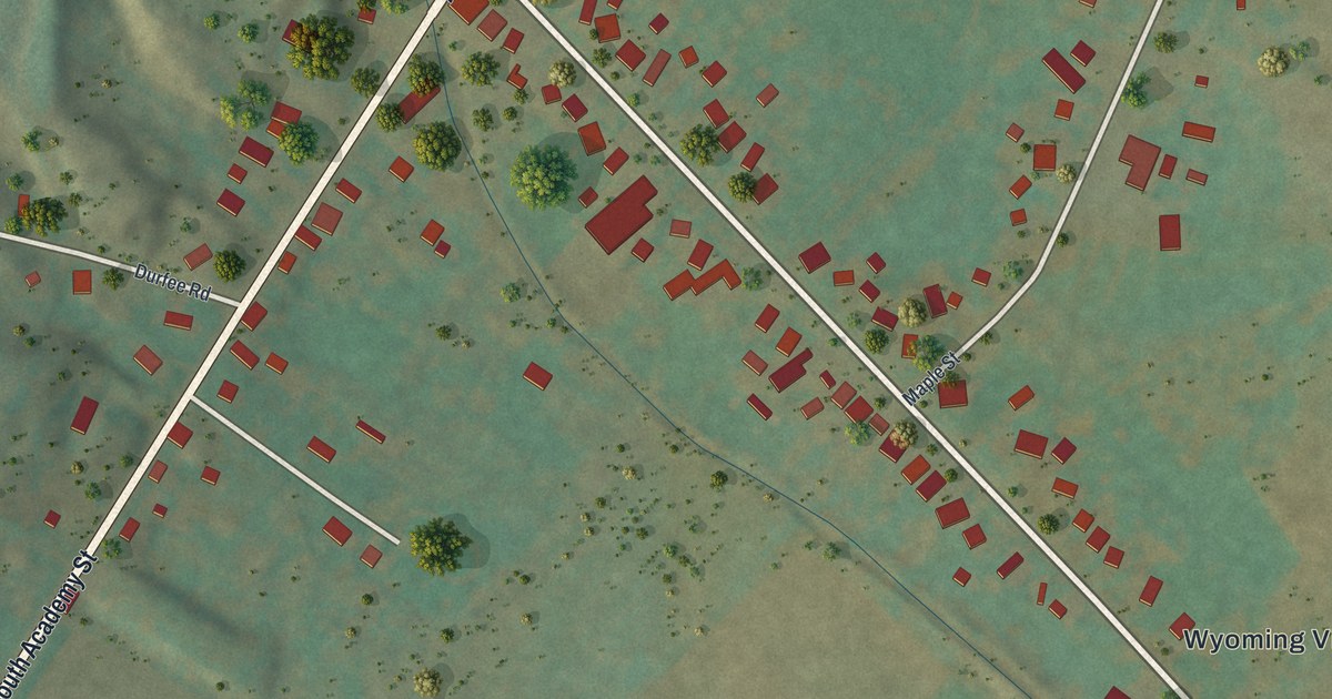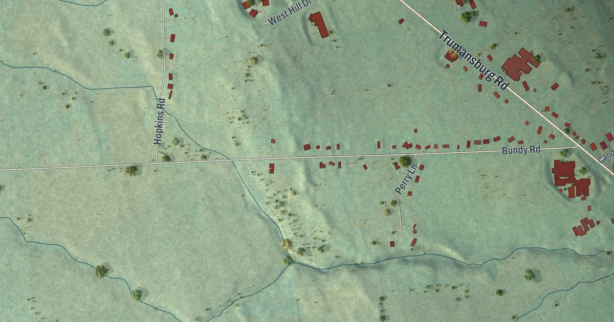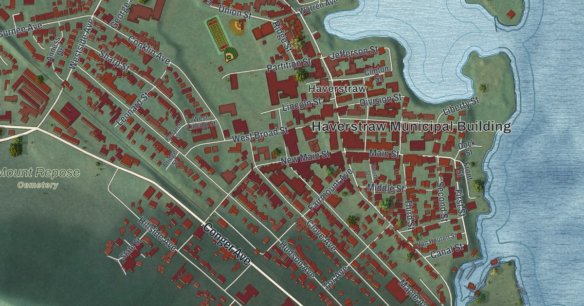
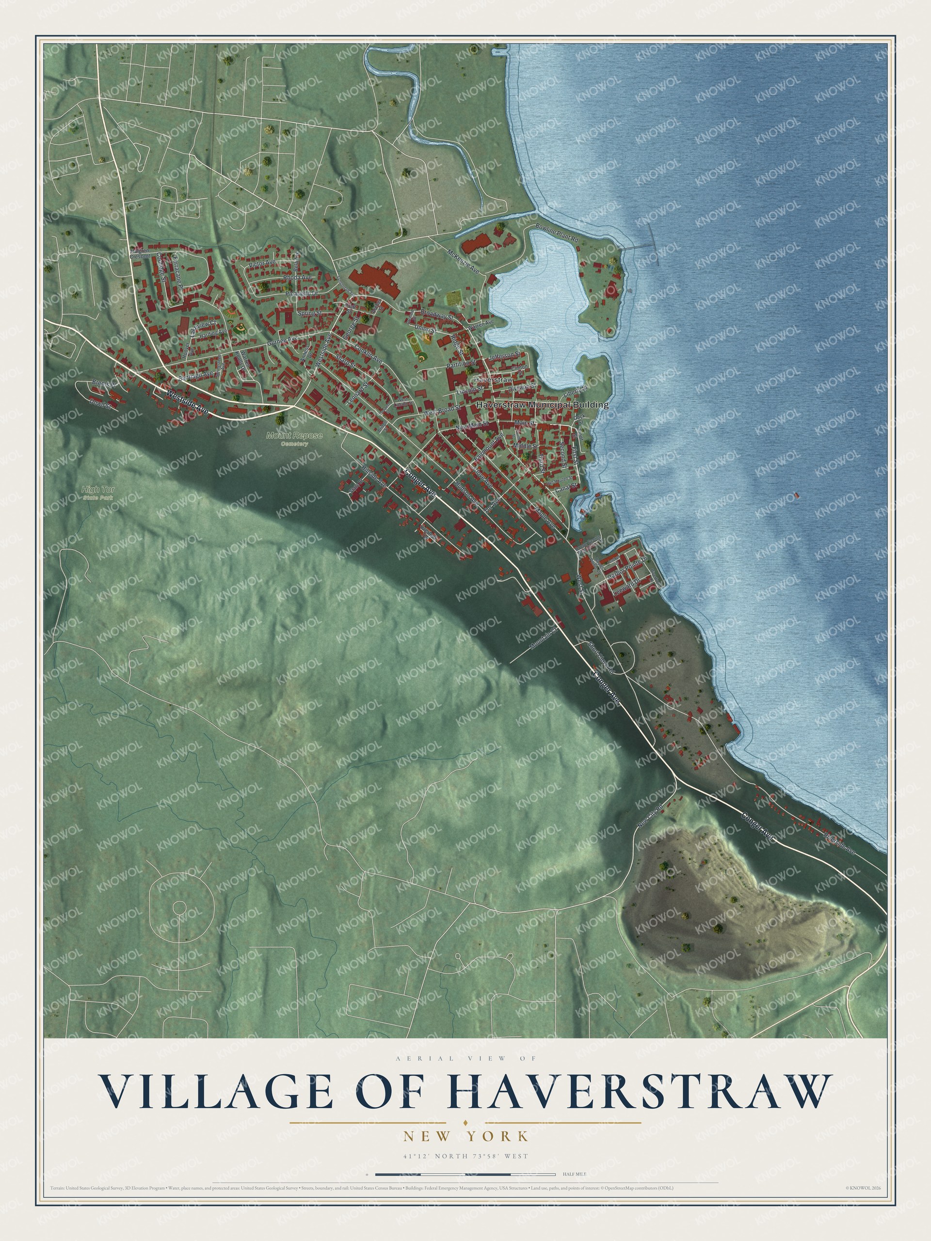
This beautifully detailed map of the Village of Haverstraw, New York was created in 2026 using aerial imagery combined with modern topographical, census, street and landmark data. It’s a one-of-a-kind view of the Village of Haverstraw that combines accurate data with a vintage aesthetic. The map shows every building in its true location, many of the roads carry their names, and the shaded topographic relief shows the shape of the land.
Explore an aerial view of the Village of Haverstraw, New York
On the map you’ll find Haverstraw Municipal Building, High Tor State Park, and Mount Repose Cemetery, along with Westside Avenue, Conger Avenue, Broadway Street, Main Street, and more. If you look closely you can even find your house accurately drawn in its correct location. Zoom in on the preview to look for yours.
Did You Know?
Haverstraw was known as Bricktown and the brickmaking capital of the world. Clay from the Hudson River and rich soil along the waterfront made the trade possible. In the early 1900s more than 40 brick factories lined the river in the village. Many New York City brick and brownstone buildings used Haverstraw bricks.
Take a closer look at the Village of Haverstraw map
Names on this map
These names are printed on this map.
Places: Haverstraw Municipal Building, High Tor State Park, Mount Repose Cemetery and Haverstraw.
Streets and roads: Westside Avenue, Conger Avenue, Broadway Street, Main Street, First Street, West Street, Union Street, New City Road, Jefferson Street, Riverside Avenue, Hudson Avenue, Gurnee Avenue.
More street names, A to Z
Anness Drive, Archer Street, Bowline Plant Road, Brems Place, Bridge Street, Canal Street, Clinton Street, Clove Avenue, Conklin Avenue, Coolidge Street, Division Street, Dock Street, Doctor George West Girling Drive, Dowd Street, Fairmount Avenue, Ferracane Place, Fourth Street, Front Street, George Street, Halgren Crescent, Harbor Pointe Drive, Harding Avenue, Hillside Avenue, Hoover Avenue, Lagoon Lane, Lakeview Court, Leeward Drive, Leonard Street, Liberty Street, Lincoln Street, Maple Avenue, McKenzie Avenue, Middle Street, Mountain Court, New Main Street, Orchard Street, Overlook Terrace, Partition Street, Picariello Drive, Pratt Street, Prospect Street, Rela Avenue, Rhoda Avenue, Ridge Street, Riverfront Lane, Round Pointe Drive, Samsondale Avenue, Santiago Avenue, Second Street, Sharp Street, Short Clove Road, Springsteen Avenue, Spring Street, State Street, Third Street, Tor Avenue, Van Houten Street, Victor Avenue, Warren Avenue, Warren Knolls Drive, West Broad Street, West Lincoln Street.
See it on a wall
The Haverstraw map as a framed print. Swipe for more.


This beautifully detailed map of the Village of Haverstraw makes an attractive addition to your office, library, or den, and it can even be used to teach children the geography and history of the area. It also makes a great gift for someone who left the Village of Haverstraw and still calls it home. When you’re done exploring, click here to get your copy of the Village of Haverstraw map.