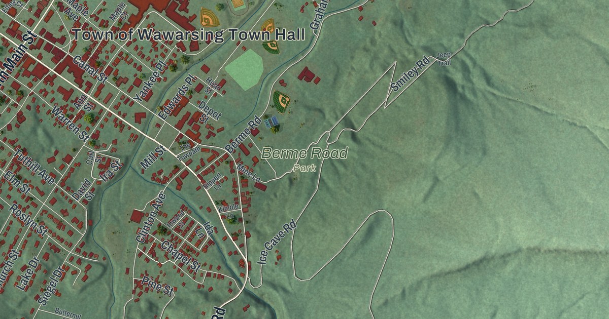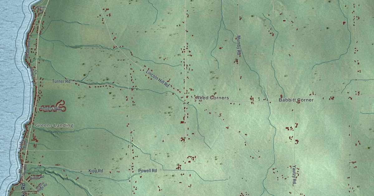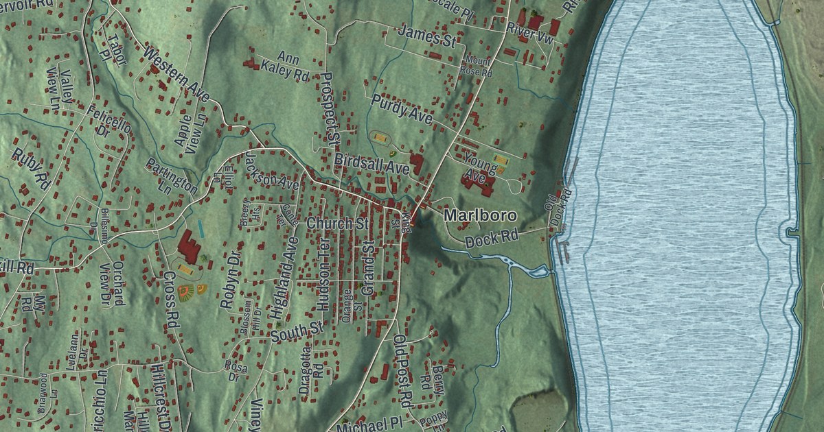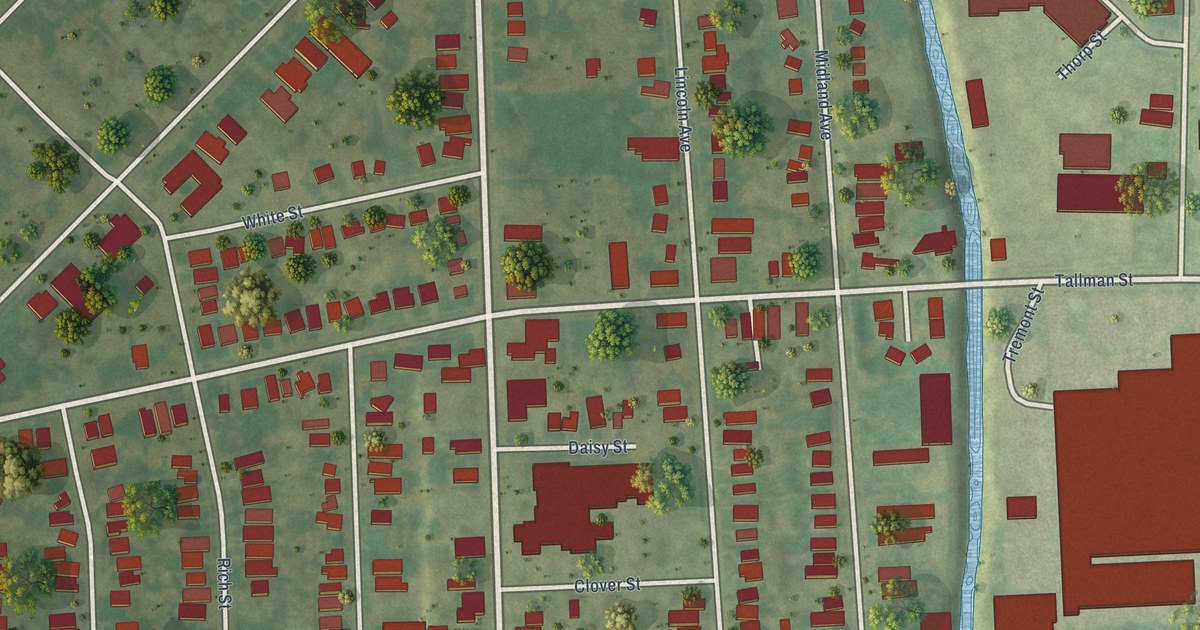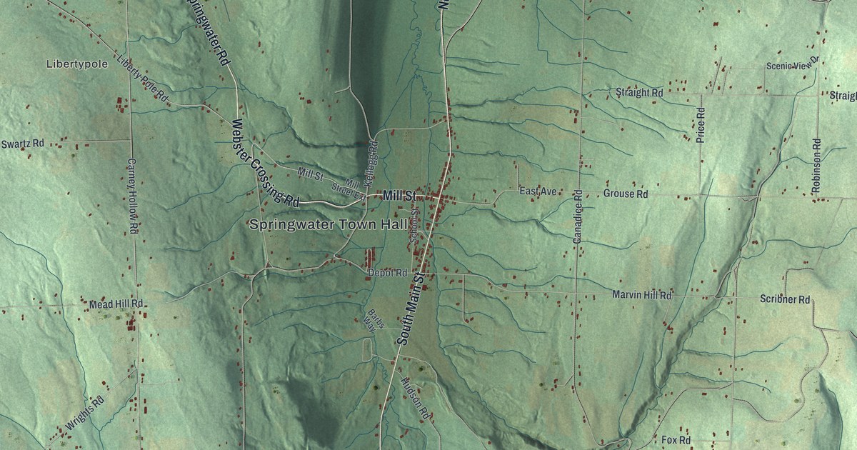
This beautifully detailed map of Springwater, New York was created in 2026 using aerial imagery combined with modern topographical, census, street and landmark data. It’s a one-of-a-kind view of Springwater that combines accurate data with a vintage aesthetic. The map shows every building in its true location, many of the roads carry their names, and the shaded topographic relief shows the shape of the land.
Explore an aerial view of Springwater, New York
On the map you’ll find Springwater Town Hall, Websters Crossing, Libertypole, and Hemlock-Canadice State Forest, along with Webster Crossing Road, Main Street, Mill Street, Conesus Springwater Road, and more. If you look closely you can even find your house accurately drawn in its correct location. Zoom in on the preview to look for yours.
Did You Know?
Springwater served as a trading center for the farmers around it. In 1866 it was the scene of a battle between landowners and evicted squatters. The squatters were defeated. That’s from the 1940 WPA guide to New York.
Take a closer look at the Springwater map
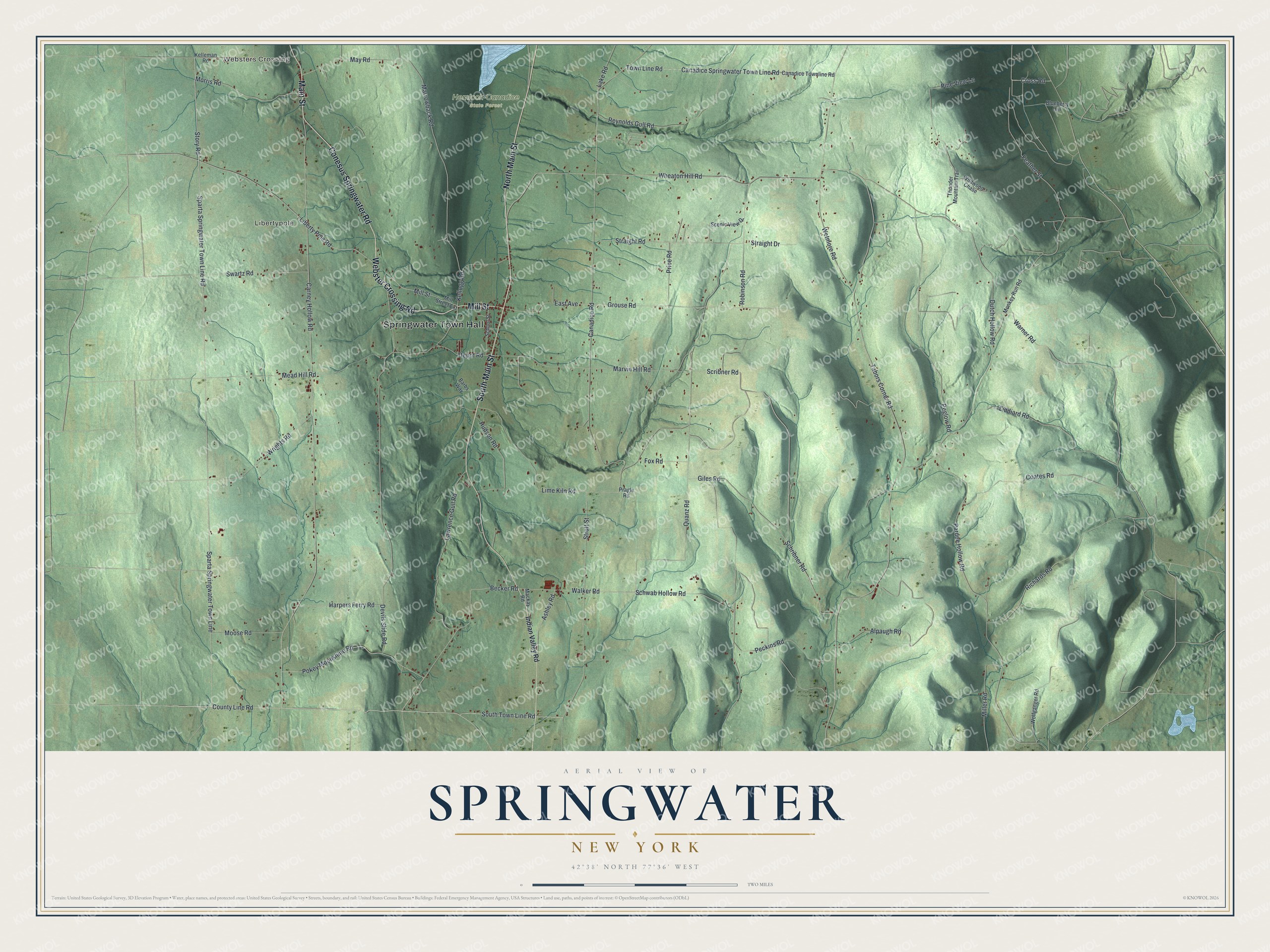
Names on this map
These names are printed on this map.
Places: Springwater Town Hall, Websters Crossing, Libertypole and Hemlock-Canadice State Forest.
Streets and roads: Webster Crossing Road, Main Street, North Main Street, South Main Street, Mill Street, Conesus Springwater Road, Sparta Springwater Town Line, County Line Road, Sparta Springwater Town Line Road, Story Road, Morris Road, Becker Road.
More street names, A to Z
Alpaugh Road, Ashley Road, Barbs Way, Blueberry Hill, Canadice Road, Canadice Springwater Town Line Road, Canadice Townline Road, Carney Hollow Road, Coates Road, Cross Road, Depot Road, Devils Slide Road, Dutch Hollow Road, East Avenue, Feather Street, Fox Road, Giles Road, Grouse Road, Harpers Ferry Road, Hudson Road, Indian Valley Road, Kelleman Road, Kellogg Road, Lake Road, Lawrence Gull Road, Liberty Pole Road, Liddiard Road, Lime Kiln Road, Mackay Road, Marrowback Road, Marvin Hill Road, May Road, Mead Hill Road, Miller Road, Mill Street Extension, Monkey Run Road, Moose Road, Pardee Hollow Road, Peckins Road, Peglow Road, Pine View Lane, Pokey Moonshine Road, Pragle Road, Price Road, Quanz Road, Reynolds Gull Road, Richards Road, Robinson Road, Scenic View Drive, School Street, Schribner Road, Schwab Hollow Road, Scribner Road, South Town Line Road, Straight Drive, Straight Road, Strutt Street, Swartz Road, Tabors Corner Road, Thunder Mountain Trail, Town Line Road, Walker Road, Warner Road, Wetmore Road, Wheaton Hill Road, Wildwood Chase, Wolfganger Road, Wrights Road.
See it on a wall
The Springwater map as a framed print. Swipe for more.


This beautifully detailed map of Springwater makes an attractive addition to your office, library, or den, and it can even be used to teach children the geography and history of the area. It also makes a great gift for anyone with Springwater roots. When you’re done exploring, click here to get your copy of the Springwater map.