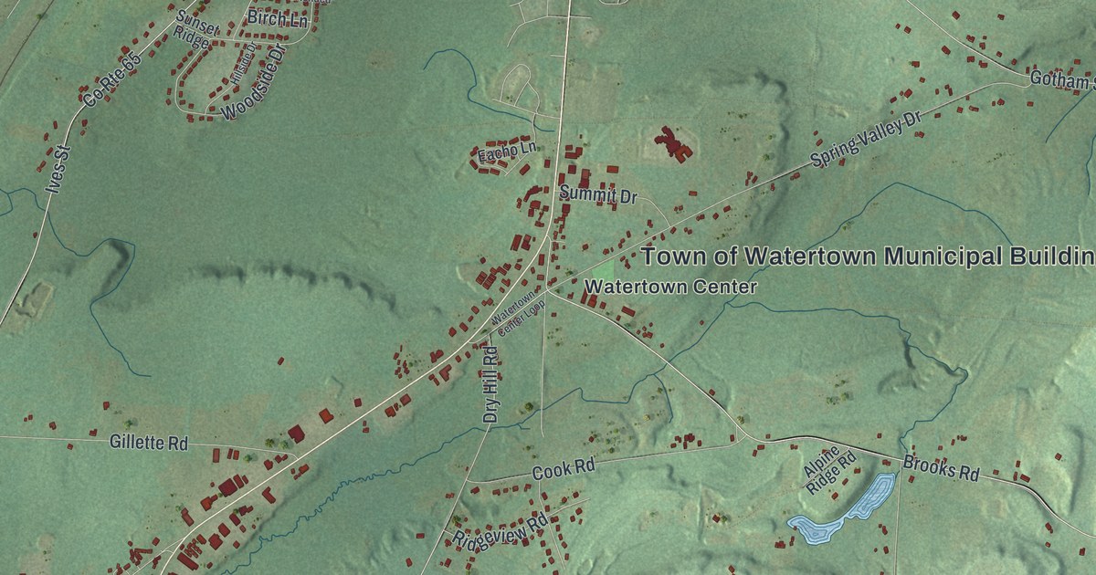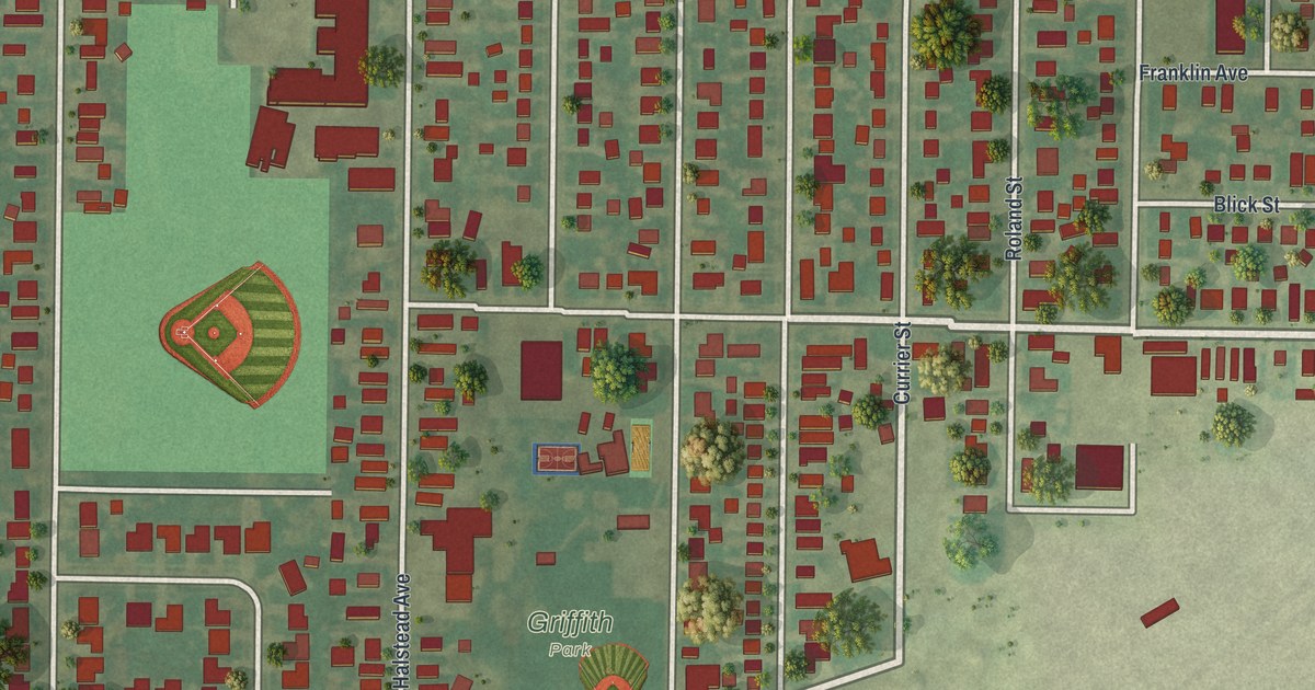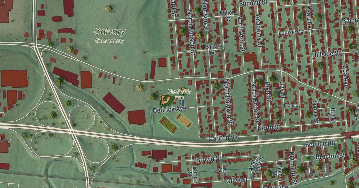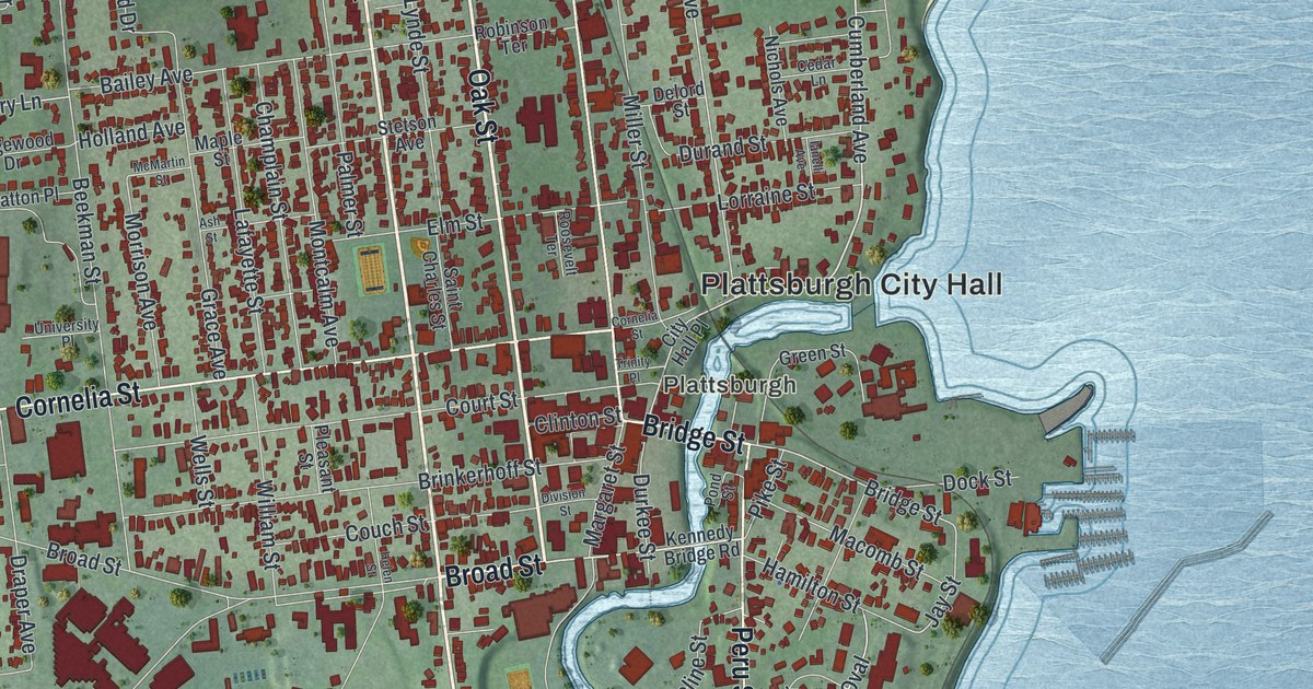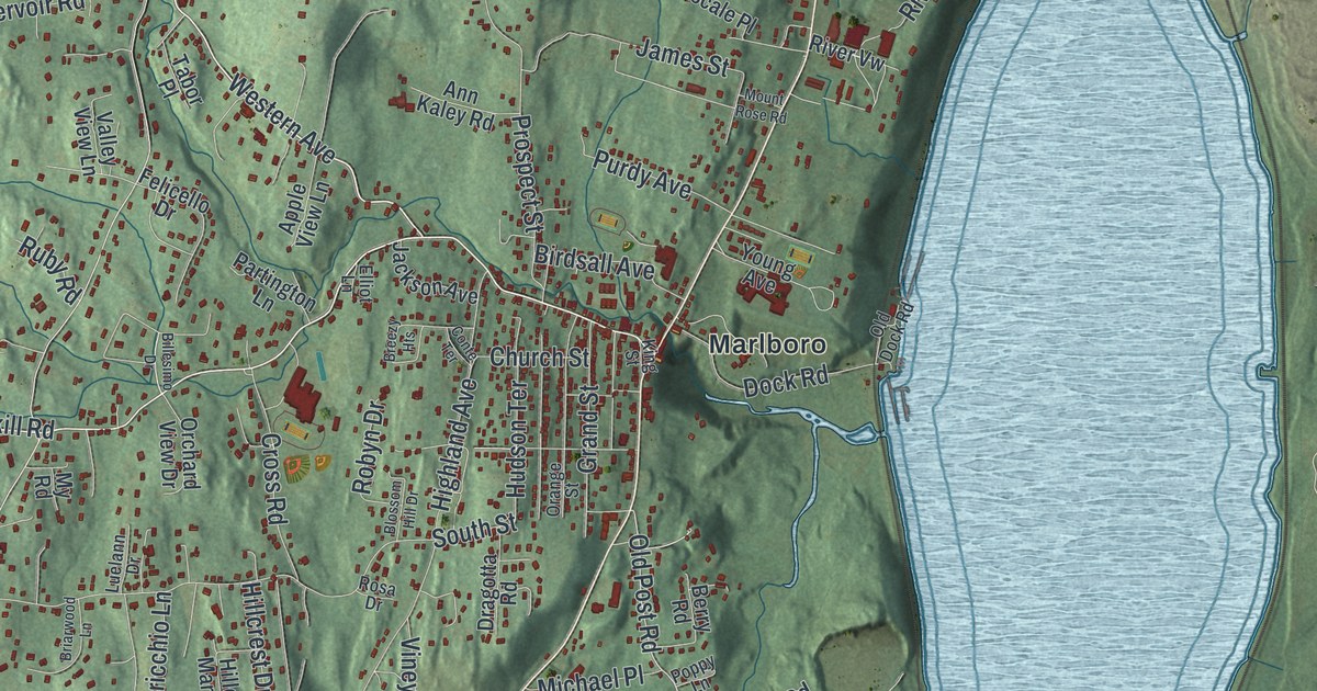
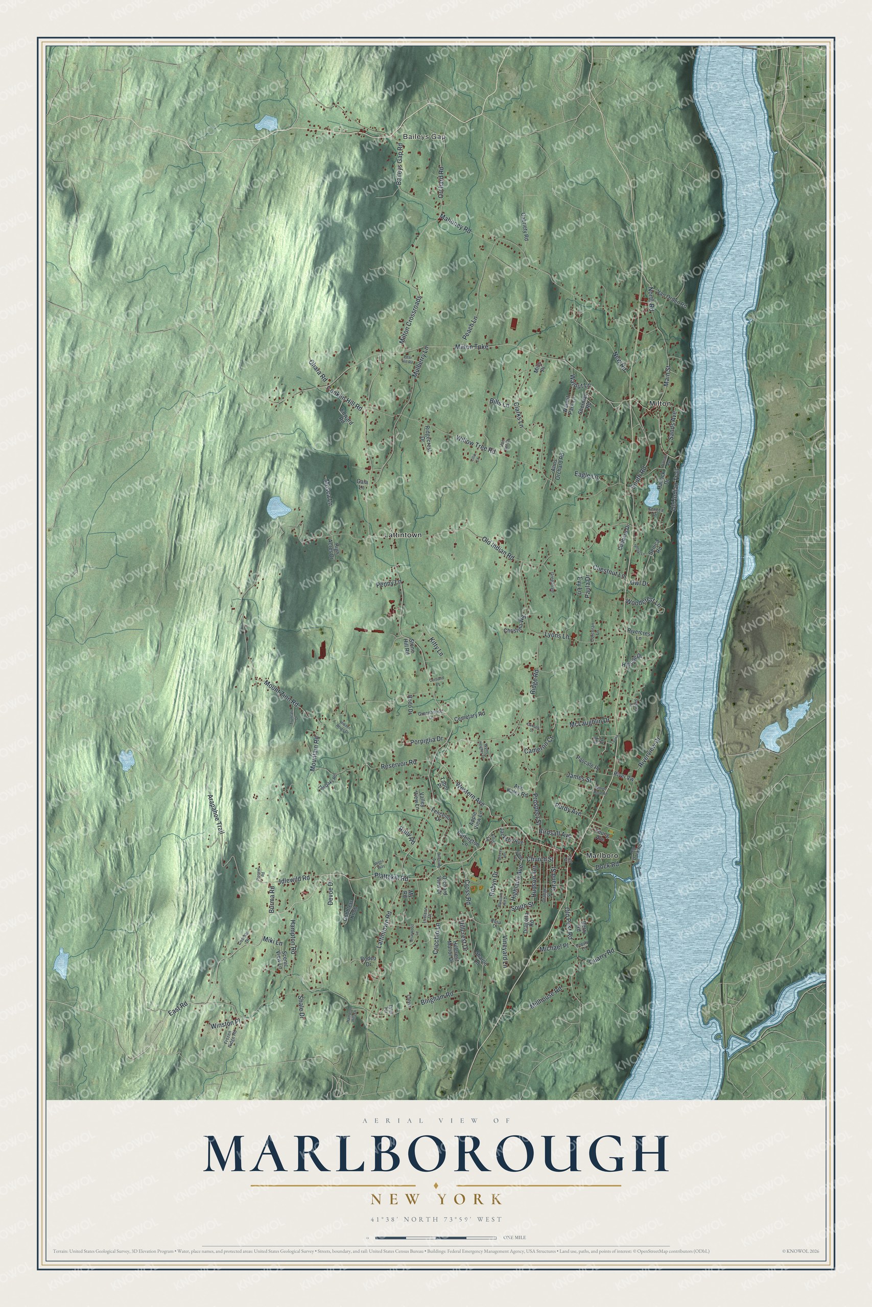
This beautifully detailed map of Marlborough, New York was created in 2026 using aerial imagery combined with modern topographical, census, street and landmark data. It’s a one-of-a-kind view of Marlborough that combines accurate data with a vintage aesthetic. The map shows every building in its true location, many of the roads carry their names, and the shaded topographic relief shows the shape of the land.
Explore an aerial view of Marlborough, New York
On the map you’ll find Baileys Gap, Lattintown, Marlboro, and Milton, along with Western Avenue, Milton Turnpike, Plattekill Road, Idlewild Road, Arapahoe Trail, and more. If you look closely you can even find your house accurately drawn in its correct location. Zoom in on the preview to look for yours.
Did You Know?
Captain John Evans, a Royal Navy officer, received a land grant here in 1694. The first of his settlers came three years later, in 1697. Marlborough became a town in 1788. It honors the Duke of Marlborough.
Take a closer look at the Marlborough map
Names on this map
These names are printed on this map.
Places: Baileys Gap, Lattintown, Marlboro and Milton.
Streets and roads: Western Avenue, Milton Turnpike, Plattekill Road, Idlewild Road, Arapahoe Trail, East Road, Old Post Road, Lattintown Road, Old Indian Road, Mount Zion Road, Bingham Road, Willow Tree Road.
More street names, A to Z
Ann Kaley Road, Anns Orchard Road, Apple View Lane, Baileys Gap Road, Berry Road, Billesimo Drive, Bills Lane, Birdsall Avenue, Blossom Hill Drive, Breezy Heights, Briarwood Lane, Burma Road, Calvin, Cameron Court, Cemetary Road, Chestnut Lane, Christina Way, Church Street, Clarks Lane, Conklin Hill Road, Consoli Drive, Conte Terrace, Corcoran Lane, Cortland Lane, Cosman Drive, Cricchio Lane, Cross Road, Cubbard Drive, Devoe Drive, Dock Road, Dragotta Road, Eagle Lane, Edward Road, Elliot Lane, Evy Lane, Felicello Drive, Frozen Ridge Road, Gabriety Road, Gala Lane, Gobblers Knob, Grand Street, Greenhouse Lane, Greentree, Hallock Drive, Hampton Hills Drive, Hampton Road, Hidden Acres Drive, High Acres Drive, Highland Avenue, Hillcrest Drive, Hillcrest Manor Drive, Hillside Drive, Hudson Terrace, Ivy Lane, Jackson Avenue, James Street, King Street, Kitty Lane, Lauria, Lillie Lane, Luelann Drive, Lyons Lane, Mahoney Road, Main Street, McLaughlin Drive, Michael Place, Miki Lane, Millhouse Road, Mills Place, Milton Crossroads, Mosca Lane, Mountain Road, Mount Rose Road, Mulberry Lane, My Road, New Road, North Road, Ohara Road, Old Dock Road, Old Indian Trail, Orange Street, Orchard Road, Orchard View Drive, Owl Drive, Partington Lane, Pascale Place, Paula Drive, Peach Lane, Pear Hill Road, Penny Lane, Pioneer Road, Poppy Lane, Porpiglia Drive, Prospect Street, Purdy Avenue, Quarry Road, Reservoir Road, Ridgecrest Drive, Ridge Road, Rivercrest Lane, Riverview Drive, River Vw, Robyn Drive, Rodeo Drive, Rodo Drive, Rosa Drive, Ruby Road, Sandra Drive, Sands Avenue, Scenic View Lane, Senaki Lane, Seneca Drive, Senica Road, Shale Drive, Sharon Lane, Sherman Road, South Road, South Street, Stone Hill Road, Tabor Place, Tall Oaks Road, Truncali Drive, Tyler Terrace, Valley View Lane, Van del Drive, Van Orden Road, Vineyard Lane, Walnut Lane, Walnut Park Lane, Watson Avenue, Wenz Way, Winston Place, Woodcrest Lane, Wyms Heights Drive, Young Avenue.
See it on a wall
The Marlborough map as a framed print. Swipe for more.


This beautifully detailed map of Marlborough makes an attractive addition to your office, library, or den, and it can even be used to teach children the geography and history of the area. It also makes a great gift for anyone who grew up in Marlborough or moved away. When you’re done exploring, click here to get your copy of the Marlborough map.