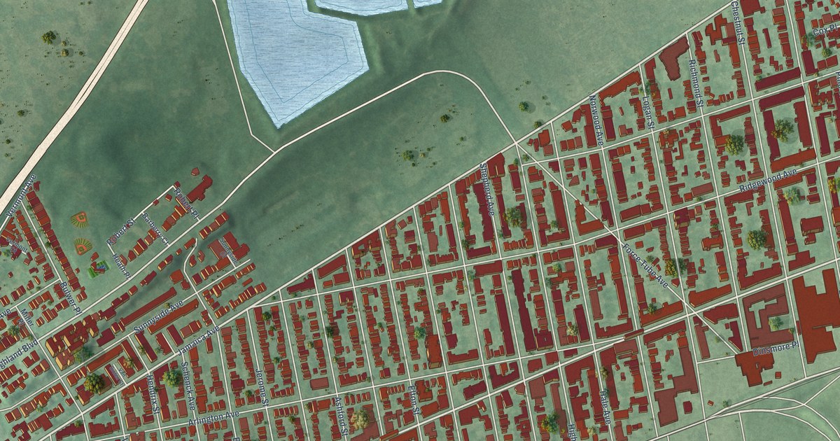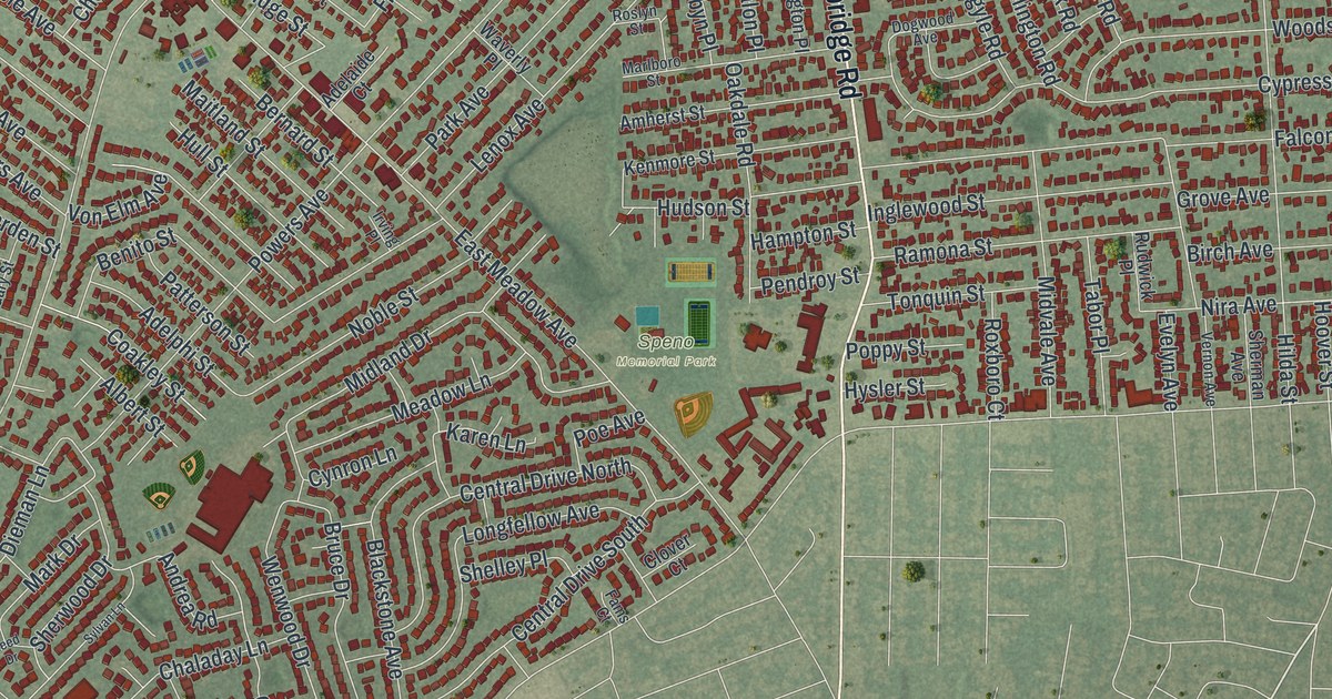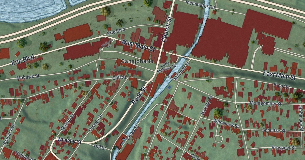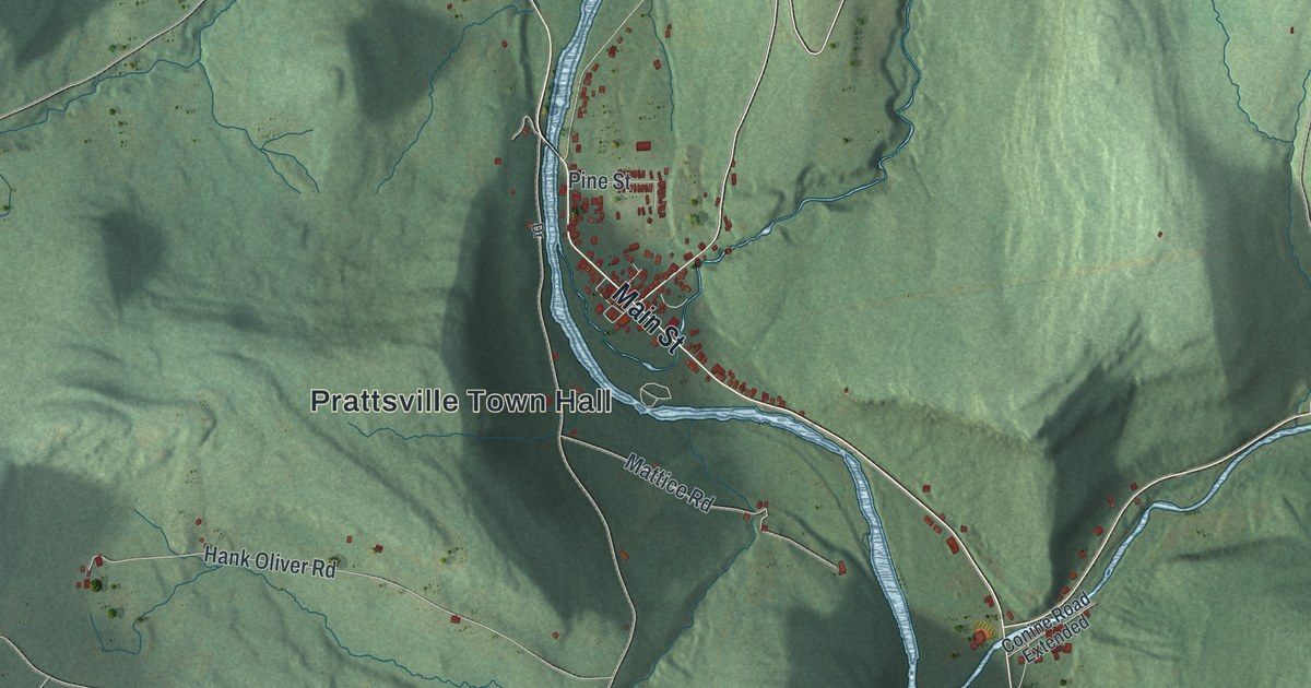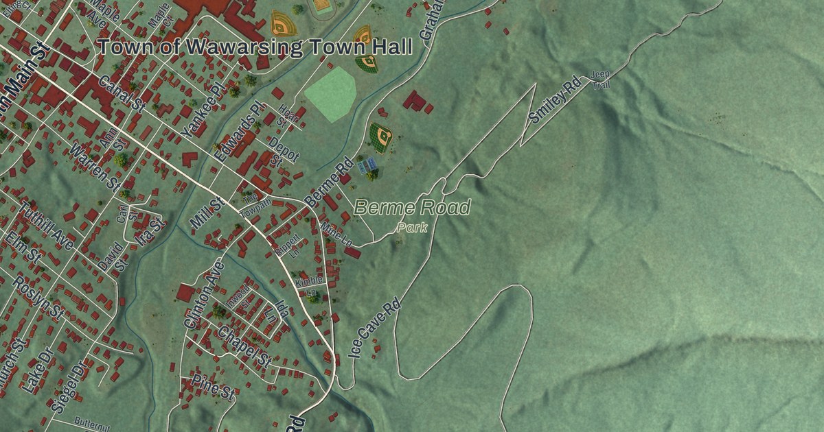
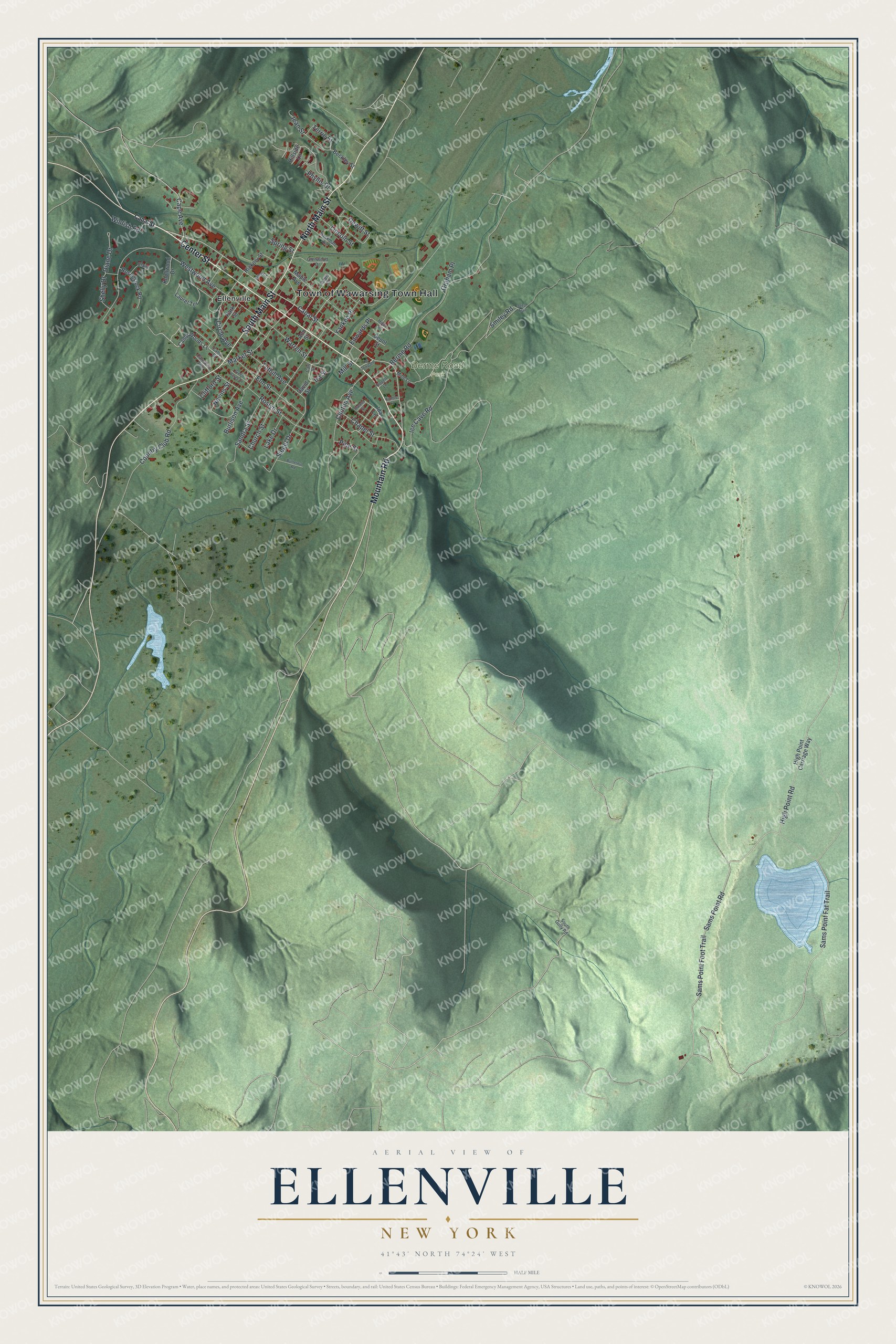
This beautifully detailed map of Ellenville, New York was created in 2026 using aerial imagery combined with modern topographical, census, street and landmark data. It’s a one-of-a-kind view of Ellenville that combines accurate data with a vintage aesthetic. The map shows every building in its true location, many of the roads carry their names, and the shaded topographic relief shows the shape of the land.
Explore an aerial view of Ellenville, New York
On the map you’ll find Yankee Place and Berme Road Park, along with Center Street, Main Street, Mountain Road, Sams Point Road, and more. If you look closely you can even find your house accurately drawn in its correct location. Zoom in on the preview to look for yours.
Did You Know?
Alpheus Fairchild bought most of the land here in 1798, and the place was called Fairchild City. Later, village leaders met at the Hoornbeek Tavern to pick a new name but could not agree. Ellen Snyder, sister of Maria Hoornbeek, talked them into naming it for her.
Take a closer look at the Ellenville map
Names on this map
These names are printed on this map.
Places: Town of Wawarsing Town Hall, Berme Road Park and Ellenville.
Streets and roads: Center Street, South Main Street, North Main Street, Mountain Road, Sams Point Road, Yankee Place, Smiley Road, Sams Point Fat Trail, Cape Avenue, Terrie Street, High Point Road, Canal Street.
More street names, A to Z
Ann Street, Backman Avenue, Beckley Street, Berme Road, Burlison Avenue, Butternut Road, Camp Street, Camp Woods Lane, Carl Street, Carnation Avenue, Chapel Street, Church Street, Circle Avenue, Claire Court, Clifford Street, Clinton Avenue, Country Club Road, David Street, Depot Street, Dewitt Street, Diane Drive, Edwards Place, Elm Street, Elting Court, Glenwood Drive, Graham Place, Green Acres Court, Hickory Street, High Point Carriage Way, Hillside Lane, Hoar Street, Ice Cave Road, Ida Lane, Inwood Street, Ira Street, Jean Street, Jeep Trail, Kimble Lane, Knollwood Drive, Lake Drive, Laurel Terrace, Lincoln Street, Maple Avenue, Maple Court, Market Street, Mill Street, Mine Lane, Nevins Street, Park Street, Phyllis Drive, Pine Street, Rippert Lane, Rosenstock Road, Roslyn Street, Sams Point Foot Trail, Sandra Street, Shelly Drive, Siegel Drive, South Gully Road, Spring Street, The Towpath, Tuthill Avenue, Warren Street, Westwood Avenue, Wintish Road.
See it on a wall
The Ellenville map as a framed print. Swipe for more.


This beautifully detailed map of Ellenville makes an attractive addition to your office, library, or den, and it can even be used to teach children the geography and history of the area. It also makes a great gift for anyone who grew up in Ellenville or moved away. When you’re done exploring, click here to get your copy of the Ellenville map.