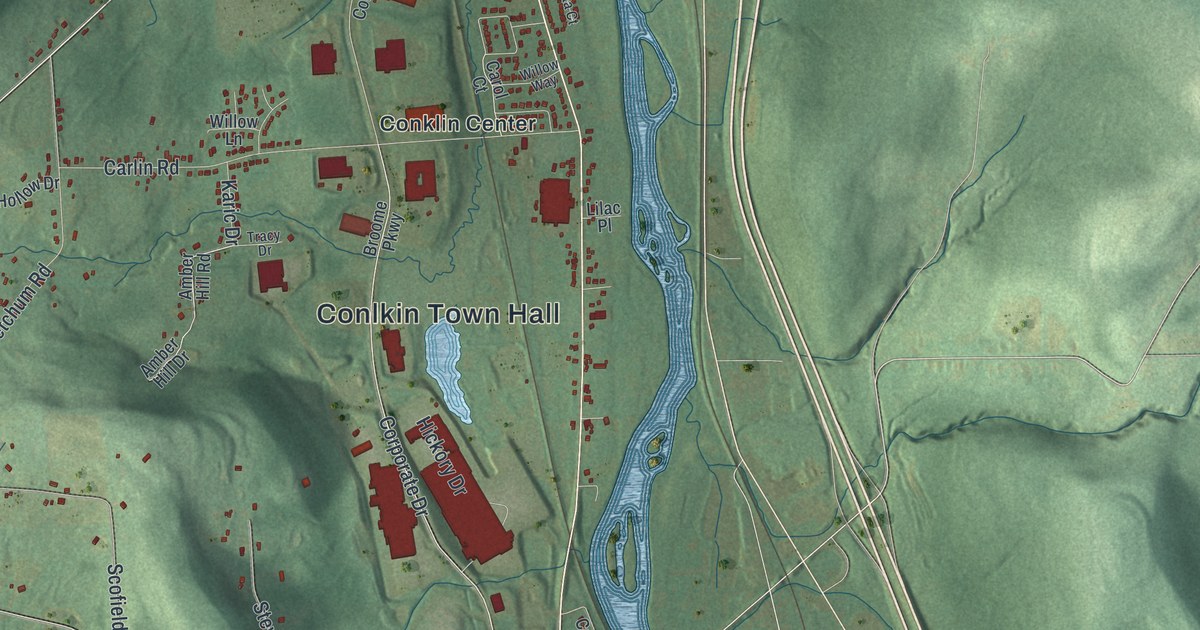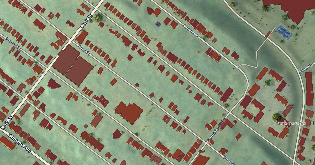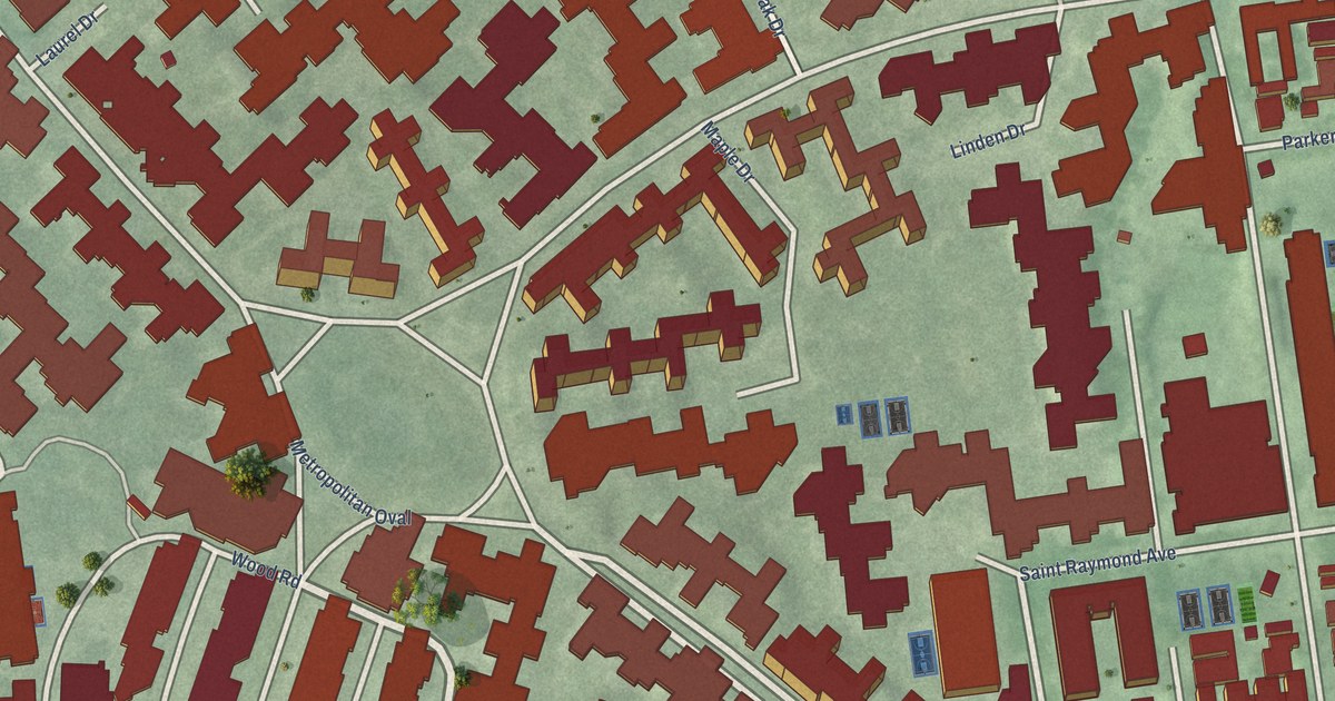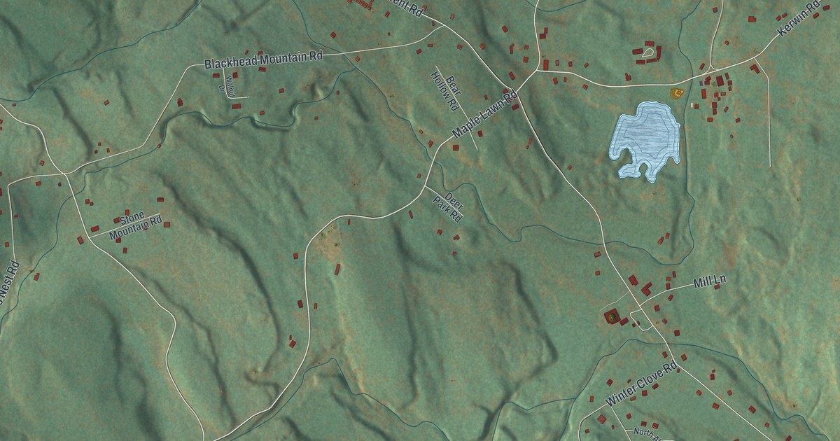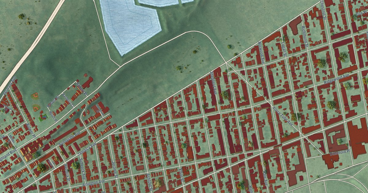
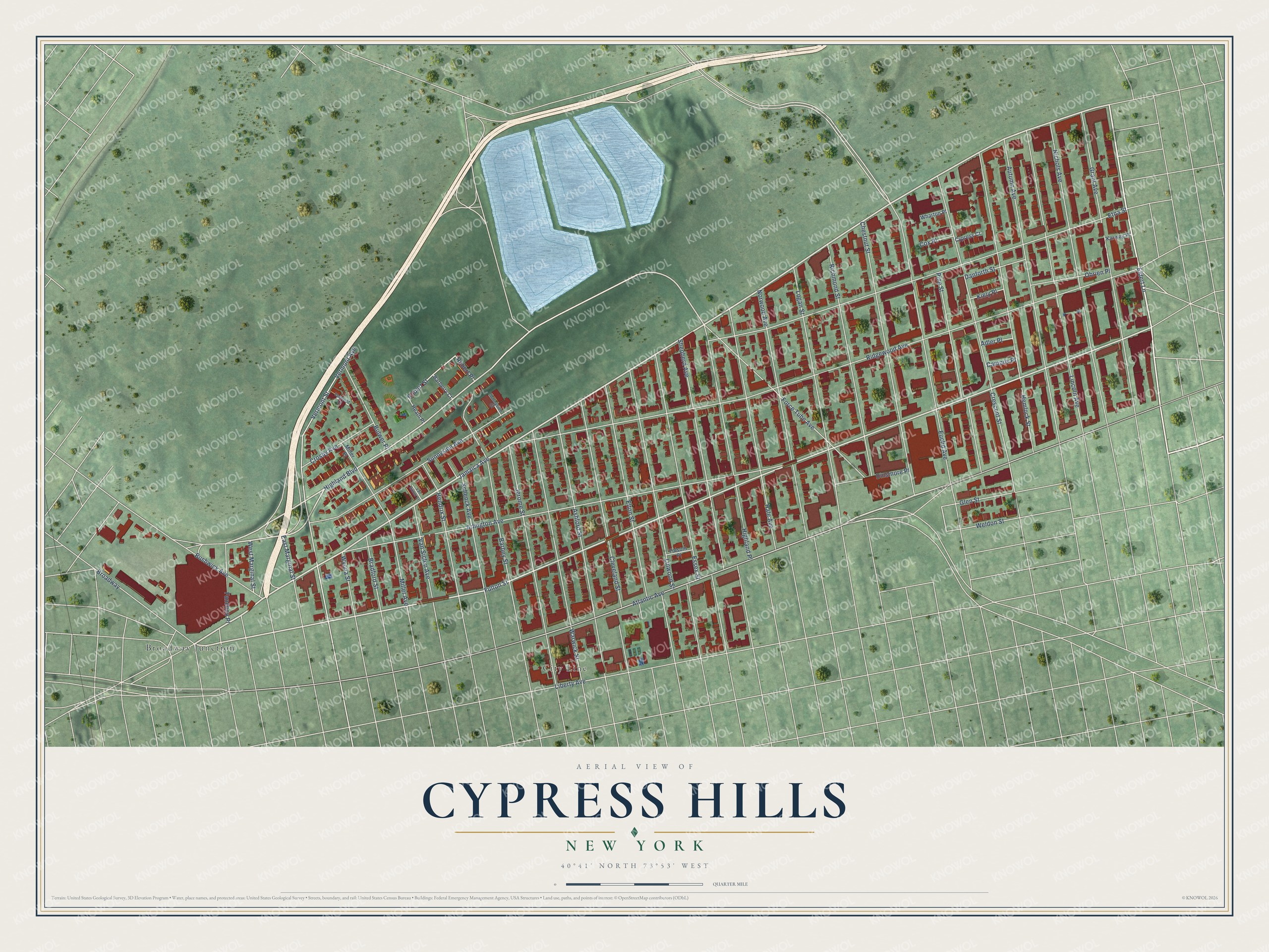
This beautifully detailed map of Cypress Hills, New York was created in 2026 using aerial imagery combined with modern topographical, census, street and landmark data. It’s a one-of-a-kind view of Cypress Hills that combines accurate data with a vintage aesthetic. The map shows every building in its true location, many of the roads carry their names, and the shaded topographic relief shows the shape of the land.
Explore an aerial view of Cypress Hills, New York
On the map you’ll find City Line and Broadway Junction, along with Jamaica Avenue, Eldert Lane, Fulton Street, Atlantic Avenue, Highland Boulevard, Vermont Street, East Marginal Street, Robert Street, Ridgewood Avenue, Arlington Avenue, and more. If you look closely you can even find your house accurately drawn in its correct location. Zoom in on the preview to look for yours.
Did You Know?
From Internet Archive: "Richard Betts, son of Richard,^ became a landholder as early as 1680, and settled on the south bounds of Newtown, (upon lands now mostly included in the Cypress Hills Cemetery,) where he d."
Cypress Hills is a place in Kings County.
Take a closer look at the Cypress Hills map
Names on this map
These names are printed on this map.
Places: City Line and Broadway Junction.
Streets and roads: Jamaica Avenue, Eldert Lane, Fulton Street, Atlantic Avenue, Highland Boulevard, Vermont Street, East Marginal Street, Robert Street, Ridgewood Avenue, Arlington Avenue, Etna Street, Crescent Street.
More street names, A to Z
Adler Place, Ashford Street, Autumn Avenue, Barberry Court, Barbey Street, Bradford Street, Broadway, Bulwer Place, Bushwick Avenue, Campus Place, Chestnut Street, Cleveland Street, Cox Place, Crosby Avenue, Cypress Court, Danforth Street, Dinsmore Place, Elton Street, Essex Street, Euclid Avenue, Fanchon Place, Folsom Place, Force Tube Avenue, Glen Street, Grant Avenue, Hale Avenue, Heath Place, Hemlock Street, Hendrix Street, Highland Place, Jerome Street, Karweg Place, Kiely Place, Liberty Avenue, Lincoln Avenue, Linwood Street, Logan Street, Miller Avenue, Miller Place, Nichols Avenue, Norwood Avenue, Obrien Place, Pine Street, Richmond Street, Robert Place, Schenck Avenue, Shepherd Avenue, Sunnyside Avenue, Sunnyside Court, Van Siclen Avenue, Van Siclen Court, Vermont Avenue, Vermont Court, Warwick Street, Weldon Street, West Marginal Street, Wharton Place, Wyona Street.
See it on a wall
The Cypress Hills map as a framed print. Swipe for more.


This beautifully detailed map of Cypress Hills makes an attractive addition to your office, library, or den, and it can even be used to teach children the geography and history of the area. It also makes a great gift for anyone who grew up in Cypress Hills or moved away. When you’re done exploring, click here to get your copy of the Cypress Hills map.