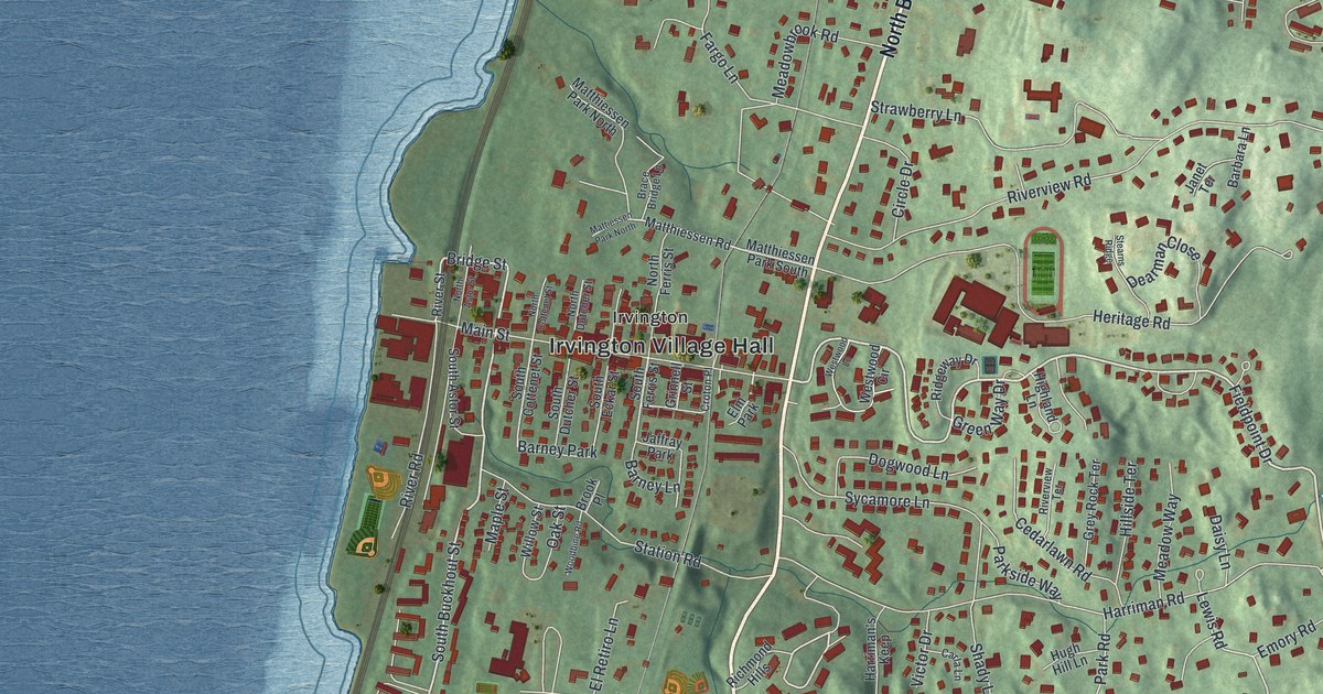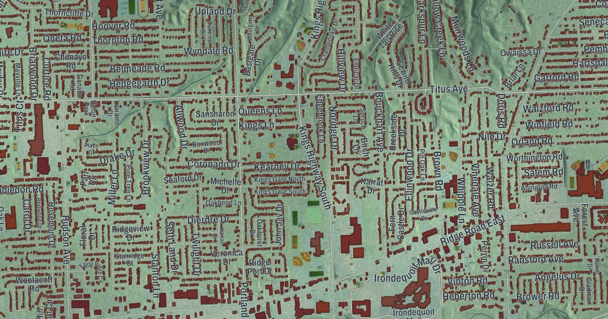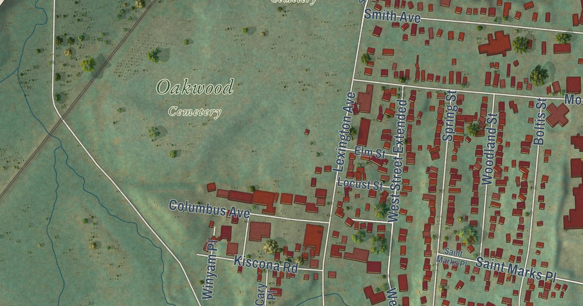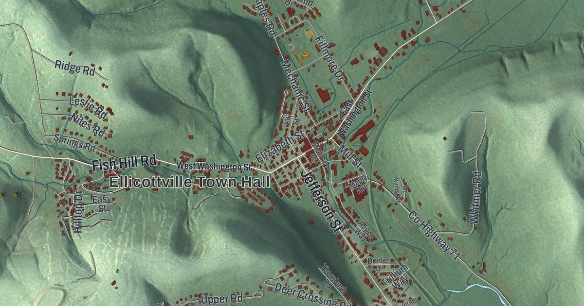
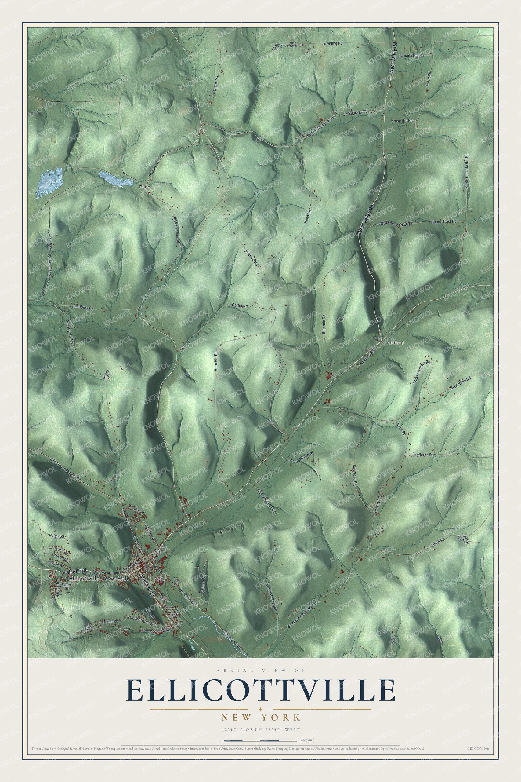
This beautifully detailed map of Ellicottville, New York was created in 2026 using aerial imagery combined with modern topographical, census, street and landmark data. It’s a one-of-a-kind view of Ellicottville that combines accurate data with a vintage aesthetic. The map shows every building in its true location, many of the roads carry their names, and the shaded topographic relief shows the shape of the land.
Explore an aerial view of Ellicottville, New York
On the map you’ll find Ellicottville Town Hall, Ashford, and Plato, along with Fish Hill Road, Jefferson Street, Washington Street, Plato Road, and more. If you look closely you can even find your house accurately drawn in its correct location. Zoom in on the preview to look for yours.
Did You Know?
Ellicottville was named for Joseph Ellicott, the surveyor for the Holland Land Company. A bell hangs in the belfry of St. John’s Episcopal Church here. It was cast in Malaga, Spain, in 1708. The bell was brought to the village in 1838. That’s from the 1940 WPA guide to New York.
Take a closer look at the Ellicottville map
Names on this map
These names are printed on this map.
Places: Ellicottville Town Hall, Ashford and Plato.
Streets and roads: Fish Hill Road, West Valley Road, Jefferson Street, Plato Road, County Highway 71, County Highway 75, Kruse Hill Road, Hebdon Road, Fancy Tract Road, Lindberg Road, Maples Road, Robbins Road.
More street names, A to Z
Aspen Way, Beaver Meadows Road, Brennan Road, Bryant Hill Road, Buchan Road, Canada Hill Road, Clare Valley Road, Cotter Road, Crane Road, Creek Ridge Road, Deer Crossing Road, Dickey Road, Donlen Drive, Dooley Road, East Washington Street, Easy Street, Elizabeth Street, Elk Street, Ellicottville Maples Road, Fillmore Drive, Haines Hollow Road, Hefferan Road, High Meadows Road, Hilltop Drive, Holiday Valley Road, Horn Hill Road, Irish Hill Road, Jackman Hill Road, Jed Lane, Kruse Road, Kuhn Road, Leslie Road, Maple Avenue, McGuan Road, Mc Kinley Drive, Mechanic Street, Mill Street, Monroe Street, Niles Road, Northwood Drive, Poverty Hill Road, Quackenbush Road, Ridge Road, Simmons Road, Smith Road, Sommerville Valley Road, South Canada Hill Road, Springs Road, Stony Lonesome Road, Sugartown Road, Thornbush Road, Tolan Road, Tough Row Hill Road, Tough Row Road, Townline Road, Town Line Road, Trillium Way, Upper Road, Valerian Way, West Fancy Tract Road, West Washington Street, Whitmer Road, Witch Hollow Road.
See it on a wall
The Ellicottville map as a framed print. Swipe for more.


This beautifully detailed map of Ellicottville makes an attractive addition to your office, library, or den, and it can even be used to teach children the geography and history of the area. It also makes a great gift for anyone who grew up in Ellicottville or moved away. When you’re done exploring, click here to get your copy of the Ellicottville map.