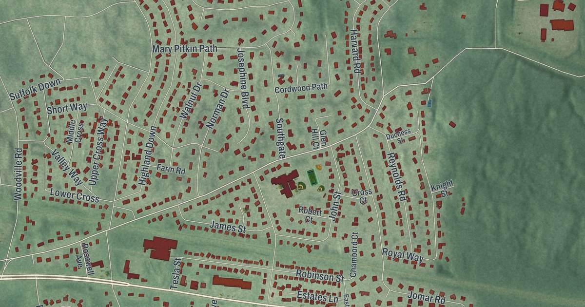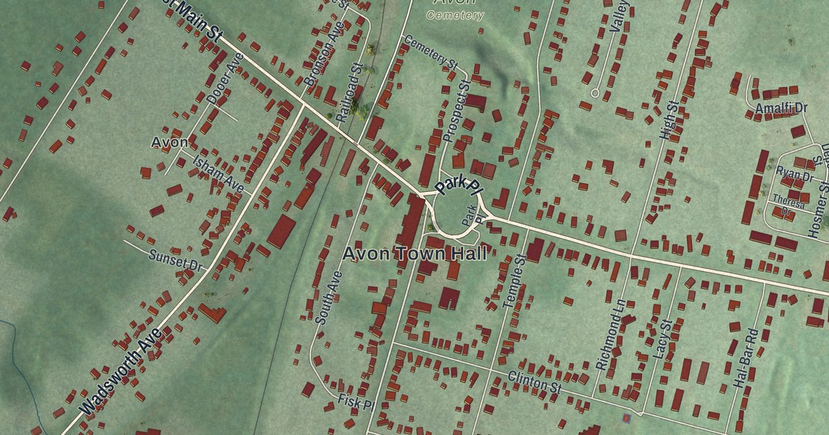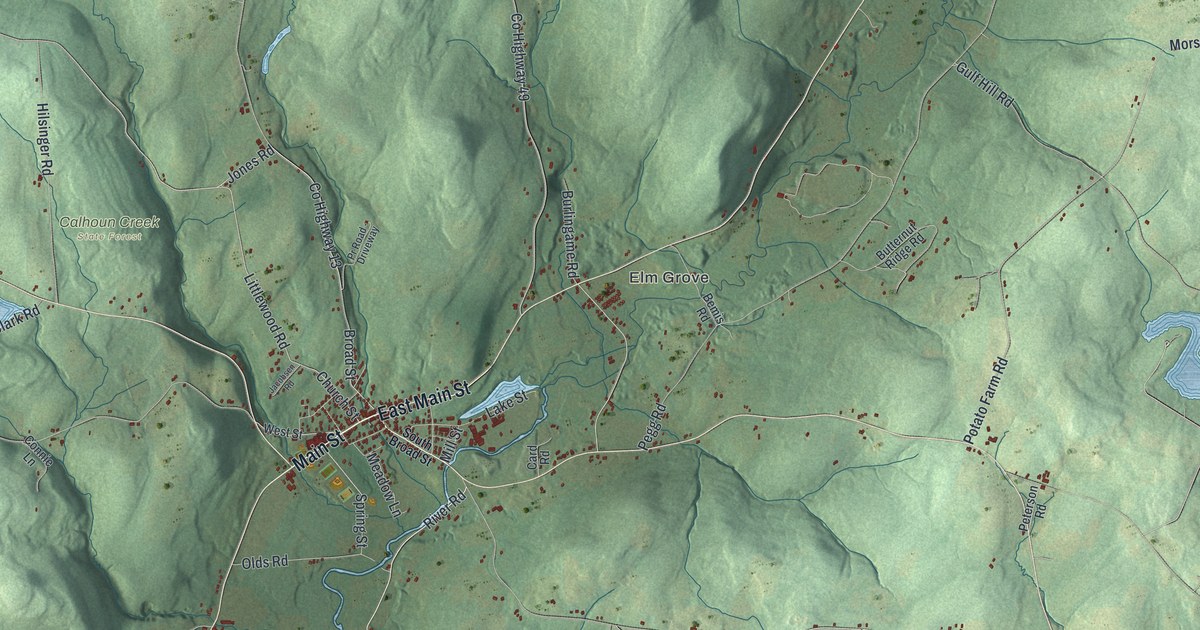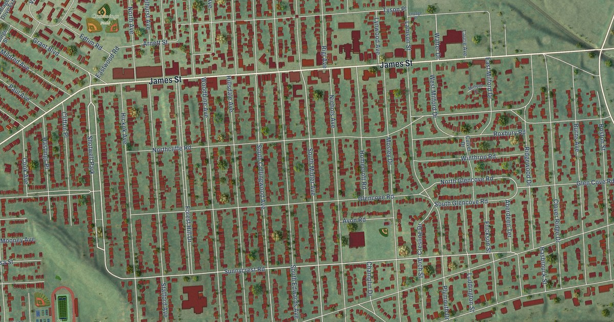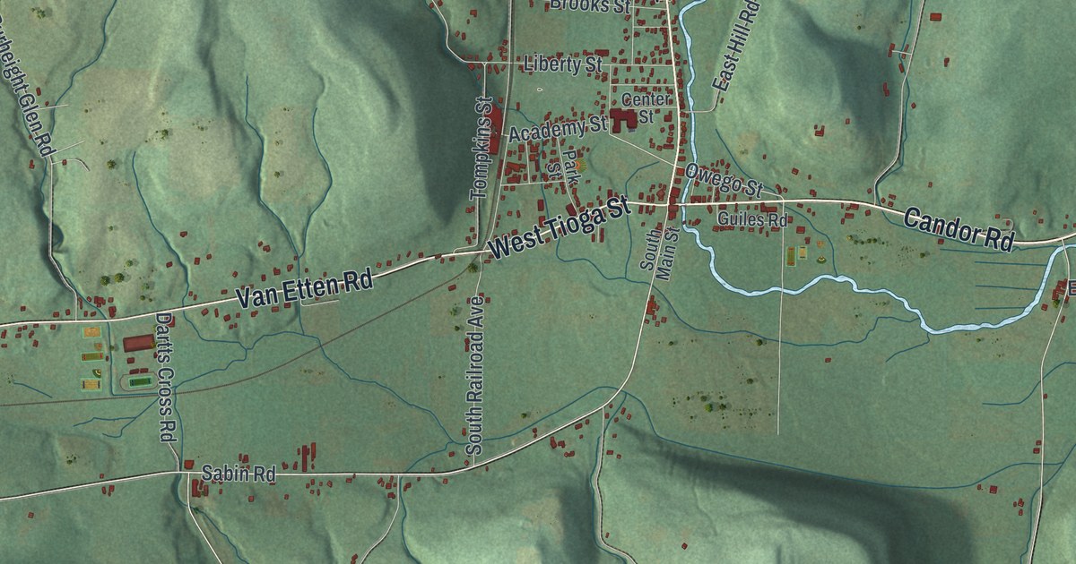
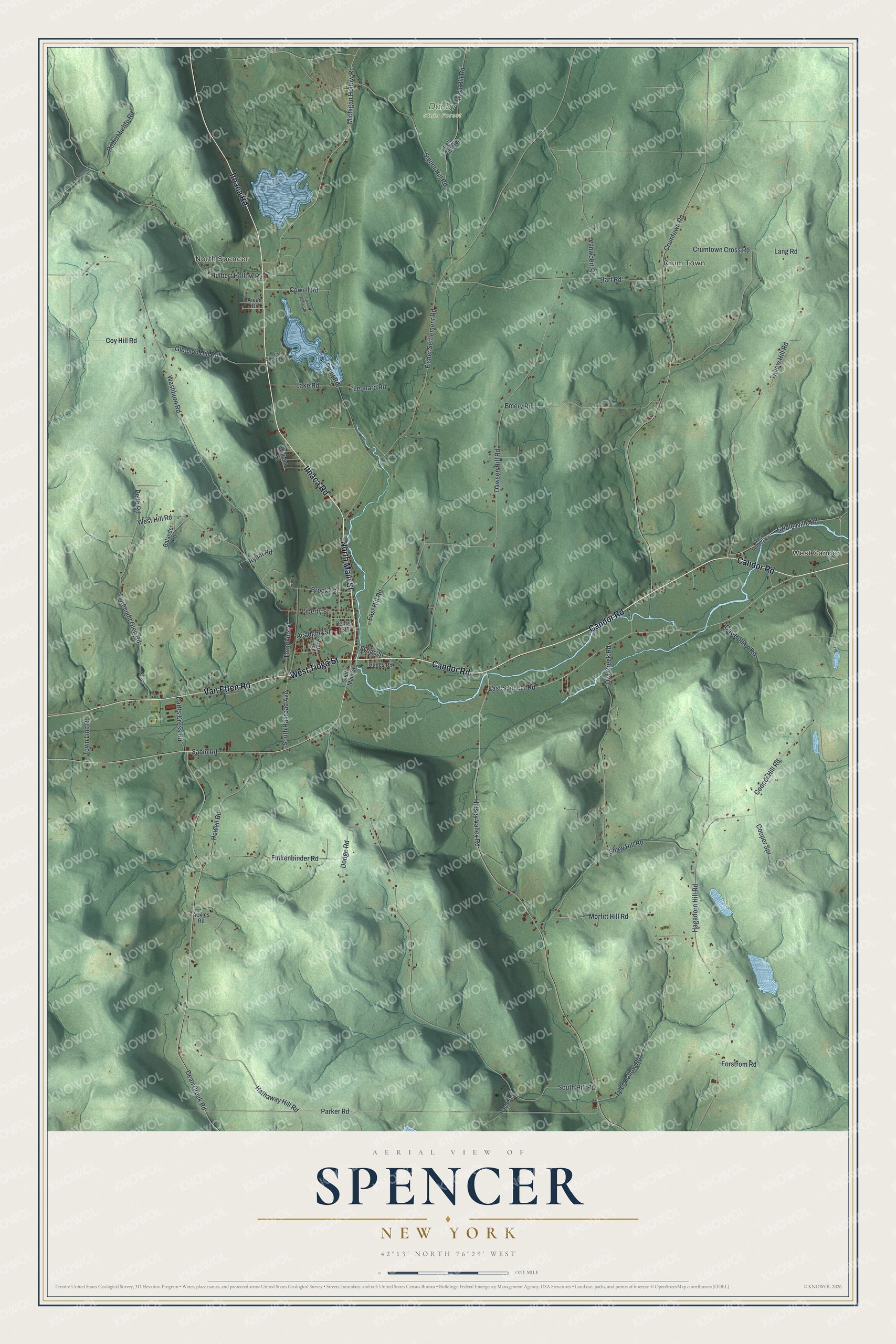
This beautifully detailed map of Spencer, New York was created in 2026 using aerial imagery combined with modern topographical, census, street and landmark data. It’s a one-of-a-kind view of Spencer that combines accurate data with a vintage aesthetic. The map shows every building in its true location, many of the roads carry their names, and the shaded topographic relief shows the shape of the land.
Explore an aerial view of Spencer, New York
On the map you’ll find Crum Town, North Spencer, West Candor, and Danby State Forest, along with Candor Road, Main Street, Ithaca Road, Tioga Street, Van Etten Road, and more. If you look closely you can even find your house accurately drawn in its correct location. Zoom in on the preview to look for yours.
Did You Know?
The town and its main village both carry the name of Ambrose Spencer. Buyers acquired the land in 1791, and settlers arrived three years later in 1794. Spencer was organized in 1806 out of the old Town of Tioga.
Take a closer look at the Spencer map
Names on this map
These names are printed on this map.
Places: Crum Town, North Spencer, West Candor and Danby State Forest.
Streets and roads: Candor Road, North Main Street, Ithaca Road, West Tioga Street, Van Etten Road, Sabin Road, Owego Street, Dean Creek Road, Town Line Road, Hagadorn Hill Road, Burheight Glen Road, West Hill Road.
More street names, A to Z
Academy Street, Ackles Road, Aman Drive, Balander Road, Bell Hill Road, Brooks Street, Center Street, Cooper Hill Road, Cooper Spr, Cowell Road, Cowell Road Spr, Coy Hill Road, Crumtown Cross Road, Crumtown Road, Dartts Cross Road, Dawson Hill Road, Dodge Road, East Hill Road, East Spencer Road, Emery Road, Finkenbinder Road, Fisher Settlement Road, Forstrom Road, Gay Hollow Road, Gleason Hill Road, Gridleyville Road, Guiles Road, Halsey Valley Road, Hart Road, Hathaway Hill Road, Howell Road, Hulbert Hollow Road, Irish Hill Road, Lake Road, Lang Road, Leonard Road, Liberty Street, Michigan Hollow Road, Morfitt Hill Road, Owl Creek Road, Parker Road, Park Street, Pelto Road, Point Road, Poole Road, Robert Lehto Road, Ryant Road, Shaw Hill Road, Signor Hill Road, South Hill Road, South Main Street, South Railroad Avenue, Tallow Hill Road, Tompkins Street, Tyler Hollow Road, Vanwoert Road, Vennell Road, Washburn Road, West Candor Road, West Shore Road, William Street.
See it on a wall
The Spencer map as a framed print. Swipe for more.


This beautifully detailed map of Spencer makes an attractive addition to your office, library, or den, and it can even be used to teach children the geography and history of the area. It also makes a great gift for anyone with Spencer roots. When you’re done exploring, click here to get your copy of the Spencer map.