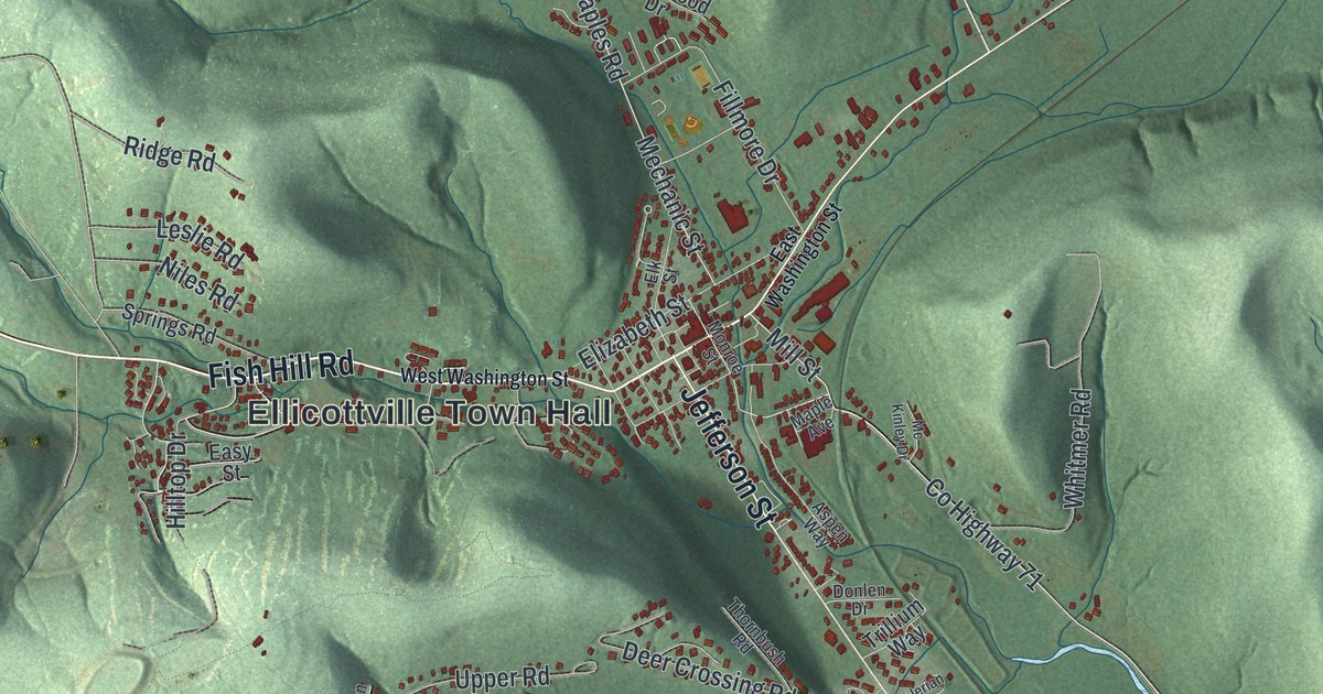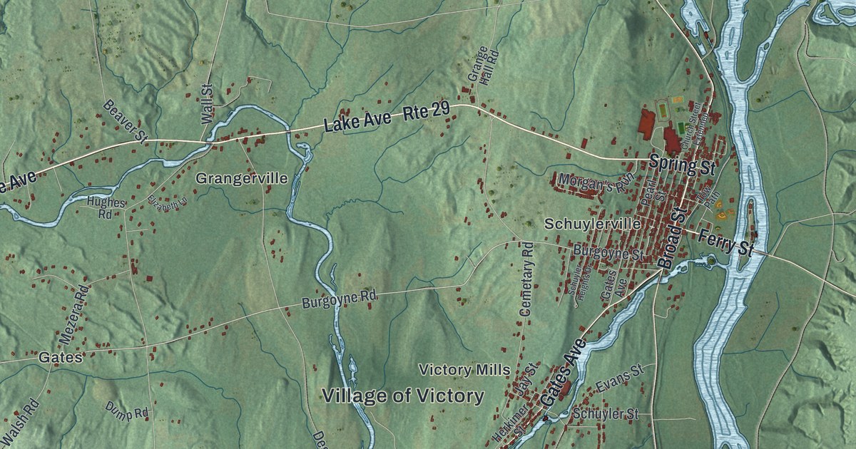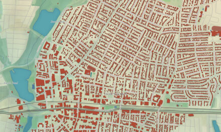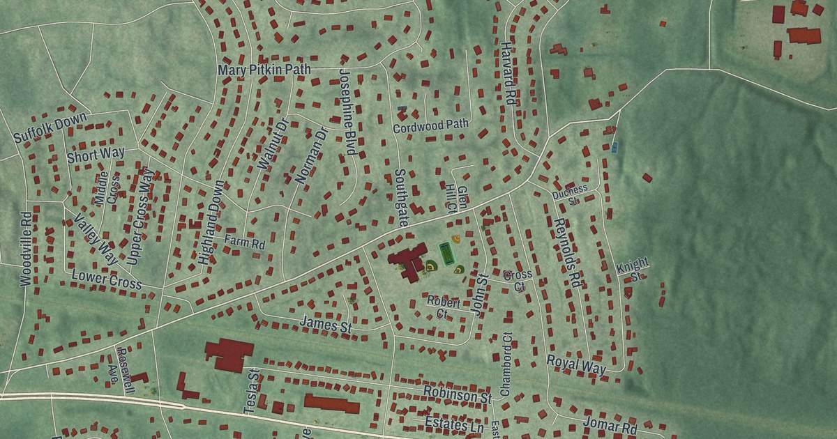
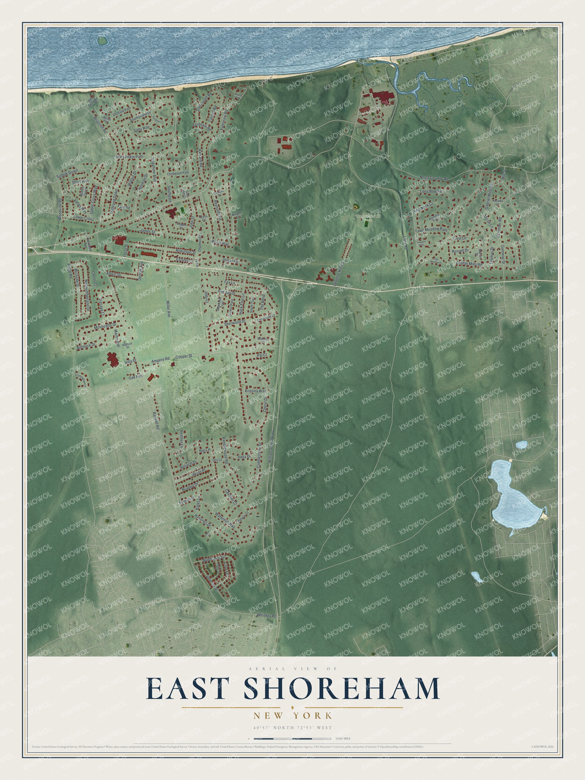
This beautifully detailed map of East Shoreham, New York was created in 2026 using aerial imagery combined with modern topographical, census, street and landmark data. It’s a one-of-a-kind view of East Shoreham that combines accurate data with a vintage aesthetic. The map shows every building in its true location, many of the roads carry their names, and the shaded topographic relief shows the shape of the land.
Explore an aerial view of East Shoreham, New York
On the map you’ll find Defense Hill Park, along with Country Road, Lilco Road, Mill Street, William Floyd Parkway, Randall Road, and more. If you look closely you can even find your house accurately drawn in its correct location. Zoom in on the preview to look for yours.
Did You Know?
The Shoreham Nuclear Power Plant was built in East Shoreham after its approval in 1973. Public protest led to the plant being decommissioned. Long Island residents still pay for it through a special charge on their electric bills. By 2022, that debt had grown to over 9 billion dollars.
Take a closer look at the East Shoreham map
Names on this map
These names are printed on this map.
Places: Defense Hill Park.
Streets and roads: North Country Road, Lilco Road, Mill Street, William Floyd Parkway, Randall Road, Cobblestone Drive, Highland Down, Zophar Mills Road, Miller Avenue, Ridge Road, Ampere Road, Cooper Street.
More street names, A to Z
Akron Place, Albert Street, Antioch Drive, Bates Lane, Beach Path, Beach Road, Belvoir Court, Biltmore Drive, Blackfoot Trail, Bradley Drive, Briarcliff Road, Cavalier Court, Chambord Court, Chelsea Court, Cheryl Drive, Cordwood Path, Cornell Road, Cricket Pass, Cross Court, Crossfield Court, Croton Court, Dartmouth Road, Defense Hill Road, Duchess Street, Dynasity Drive, East Street, Estates Lane, Farm Road, Fawn Meadow Path, Fordham Road, Fox Lane, Framingham Lane, Frost Lane, Gabriel Mills Road, Gateway Drive, George Avenue, Glen Hill Court, Harvard Road, Hastings Drive, Heather Lane, Huck Finn Lane, Hunters Trail, Jacobs Lane, James Street, Jasmine Drive, Jody Court, John Street, Jomar Road, Josephine Boulevard, Knight Street, Kristina Way, Lilac Lane, Long Bow Road, Lower Cross, Marian Street, Martin Avenue, Mary Pitkin Path, Micah Lane, Michelle Drive, Middle Cross, Monticello Drive, Mulberry Lane, Norman Drive, Northumberland Drive, Oak Run, Orchard Path, Otis Lane, Pal Court, Radford Street, Ramblewood Road, Regis Place, Reynolds Road, Ring Neck Court, Robert Court, Robinson Street, Rosewell Avenue, Royal Way, Russell Drive, Salt Meadow Court, Salty Way, Sandpiper Court, Sherwood Drive, Short Way, Sills Gully Road, Soundview Drive, Southgate, South Trail, Suffolk Down, Sylvester Road, Tesla Street, The Bend, Thomas Drive, Trappers Path, Upper Cross Way, Valentine Road, Valley Way, Vee Jay Drive, Vega Drive, Villa Street, Vizcaya Court, Walnut Drive, Watermill Way, Whiskey Road, Wildflower Drive, Winston Court, Woodville Road.
See it on a wall
The East Shoreham map as a framed print. Swipe for more.


This beautifully detailed map of East Shoreham makes an attractive addition to your office, library, or den, and it can even be used to teach children the geography and history of the area. It also makes a great gift for someone who left East Shoreham and still calls it home. When you’re done exploring, click here to get your copy of the East Shoreham map.