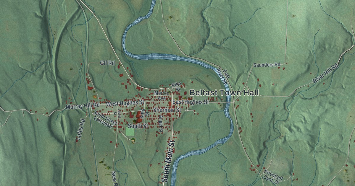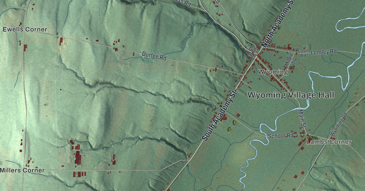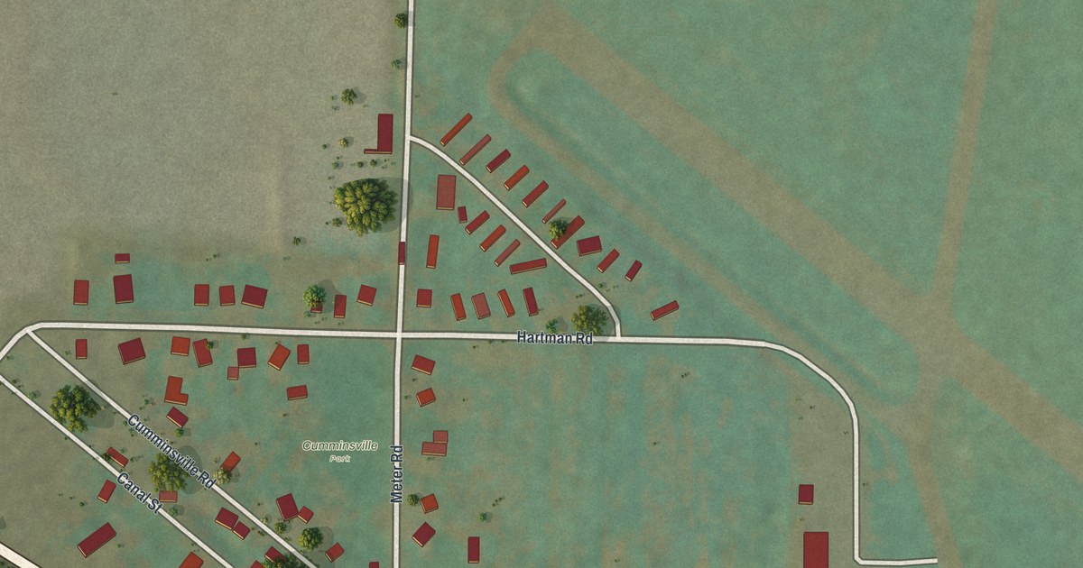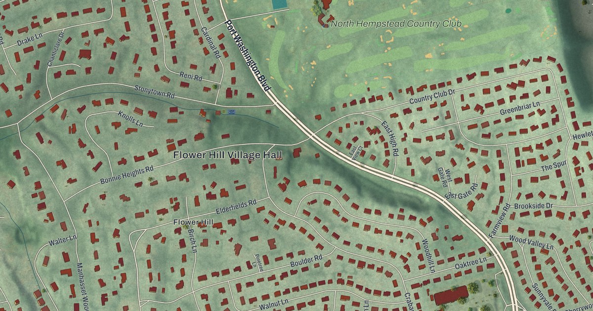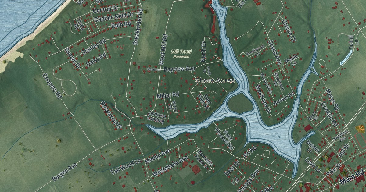
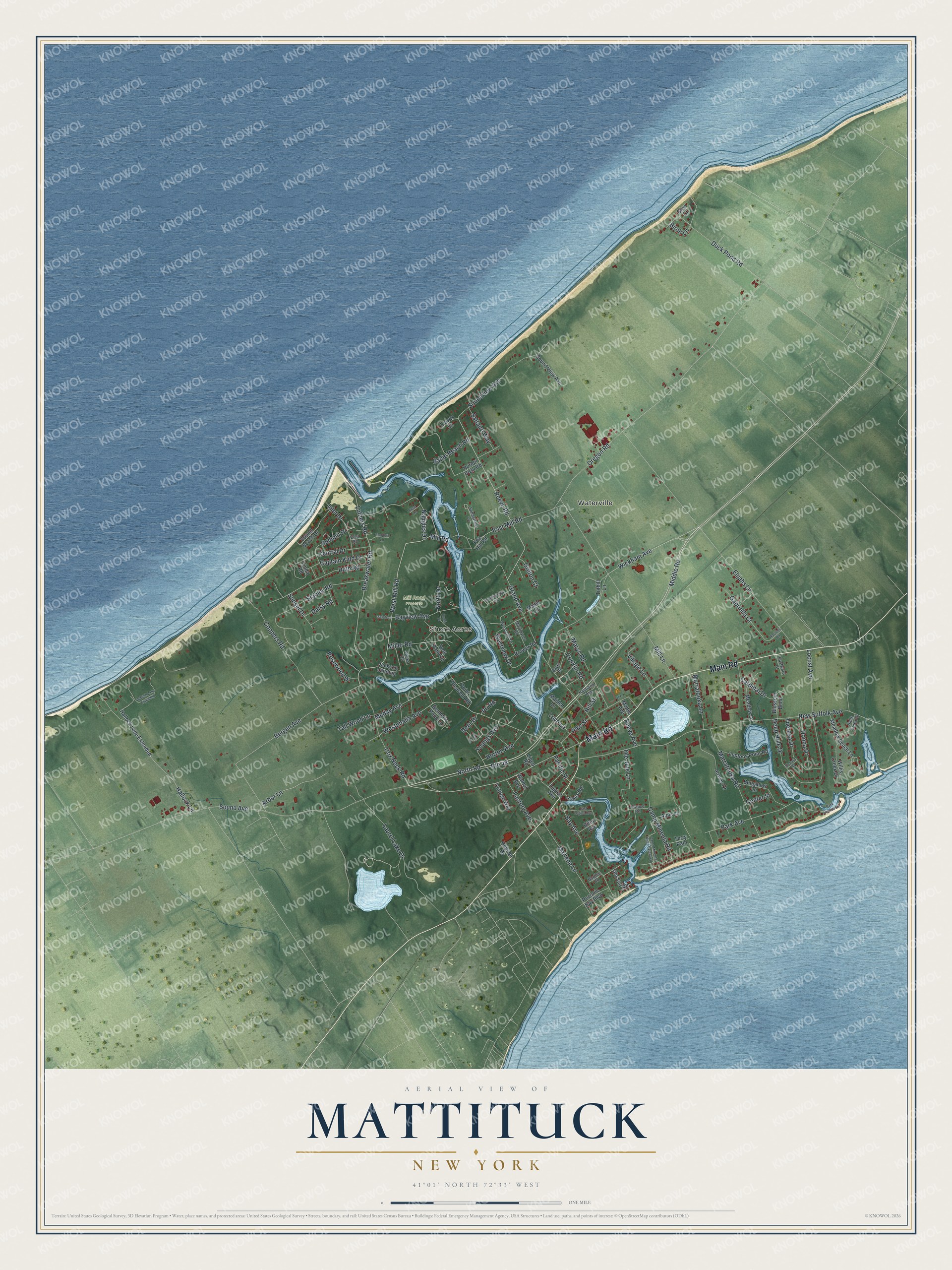
This beautifully detailed map of Mattituck, New York was created in 2026 using aerial imagery combined with modern topographical, census, street and landmark data. It’s a one-of-a-kind view of Mattituck that combines accurate data with a vintage aesthetic. The map shows every building in its true location, many of the roads carry their names, and the shaded topographic relief shows the shape of the land.
Explore an aerial view of Mattituck, New York
On the map you’ll find Waterville, Shore Acres, and Mill Road Preserve, along with Main Road, Sound Avenue, Mill Road, Cox Neck Road, Reeve Road, and more. If you look closely you can even find your house accurately drawn in its correct location. Zoom in on the preview to look for yours.
Did You Know?
The Corchaug people were the first to live in Mattituck. They sold land to Theophilus Eaton, the governor of New Haven in Connecticut. English colonists later settled the area. Residents of Southold shared the meadowlands in common from 1640.
Take a closer look at the Mattituck map
Names on this map
These names are printed on this map.
Places: Waterville, Shore Acres and Mill Road Preserve.
Streets and roads: Main Road, Sound Avenue, West Mill Road, Cox Neck Road, Reeve Road, Middle Road, Mill Road, Grand Avenue, North Road, Westphalia Avenue, Youngs Avenue, Bayview Avenue.
More street names, A to Z
Airway Drive, Aldrich Lane Extended, Alois Lane, Arbor Lane, Bailie Beach Road, Bartley Road, Bay Avenue, Bayer Road, Bennetts Pond Lane, Bergen Avenue, Birch Lane, Blossom Bend, Breakwater Road, Brower Road, Bungalow Lane, Camp Mineola Road, Camp Mineola Road Extended, Captain Kidd Drive, Cardinal Drive, Center Street, Central Drive, Conklin Road, Coopers Lane, Coopers Road, Cottage Way, Daisy Road, Deep Hole Drive, Deer Drive, Deer Path Road, Donna Drive, Duck Pond Road, East Legion Avenue, East Mill Road, East Road, Eastward Court, Elijahs Lane, Factory Avenue, Fox Hill Road, Gabriella Court, Glen Court, Greton Court, Hallock Lane, Hallock Lane Extended, Halls Creek Drive, Hamilton Avenue, Harbor View Road, Hill Street, Hobson Drive, Horton Avenue, Inlet Drive, Jackson Landing, Johns Road, Knollwood Lane, Krause Road, Laurel Lake Drive, Legion Avenue, Linda Road, Lipco Road, Lloyds Lane, Locust Avenue, Love Lane, Luptons Point Road, Luthers Road, Maiden Lane, Maple Avenue, Maple Lane, Marlene Lane, Marratooka Lane, Marratooka Road, Marys Road, Mayflower Road, Meadow Beach Lane, Meadow Lane, Meday Avenue, Miller Road, Mill Lane, Naugles Drive, New Suffolk Avenue, North Drive, Old Salt Road, Ole Jule Lane, Oregon Road, Pacific Street, Park Avenue, Park Avenue Extension, Pat Lane, Peconic Bay Boulevard, Pike Street, Point Pleasent Road, Pri Road, Rachels Road, Reeve Avenue, Richard Street, Riley Avenue, Rose Lane, Rosewood Drive, Route 48, Ruth Road, Saltaire Way, Sebastians Cv, Selah Lane, Sound Beach Drive, Soundview Avenue, Sound View Avenue, South Drive, Stanley Road, Summit Drive, Sunset Drive, Tall Wood Lane, Terry Path, Theresa Drive, Tuthill Lane, Village Lane, Walnut Avenue, Westview Drive, Wickham Avenue, Wicks Road, Willis Creek Drive, Woodcliff Drive.
See it on a wall
The Mattituck map as a framed print. Swipe for more.


This beautifully detailed map of Mattituck makes an attractive addition to your office, library, or den, and it can even be used to teach children the geography and history of the area. It also makes a great gift for anyone with Mattituck roots. When you’re done exploring, click here to get your copy of the Mattituck map.