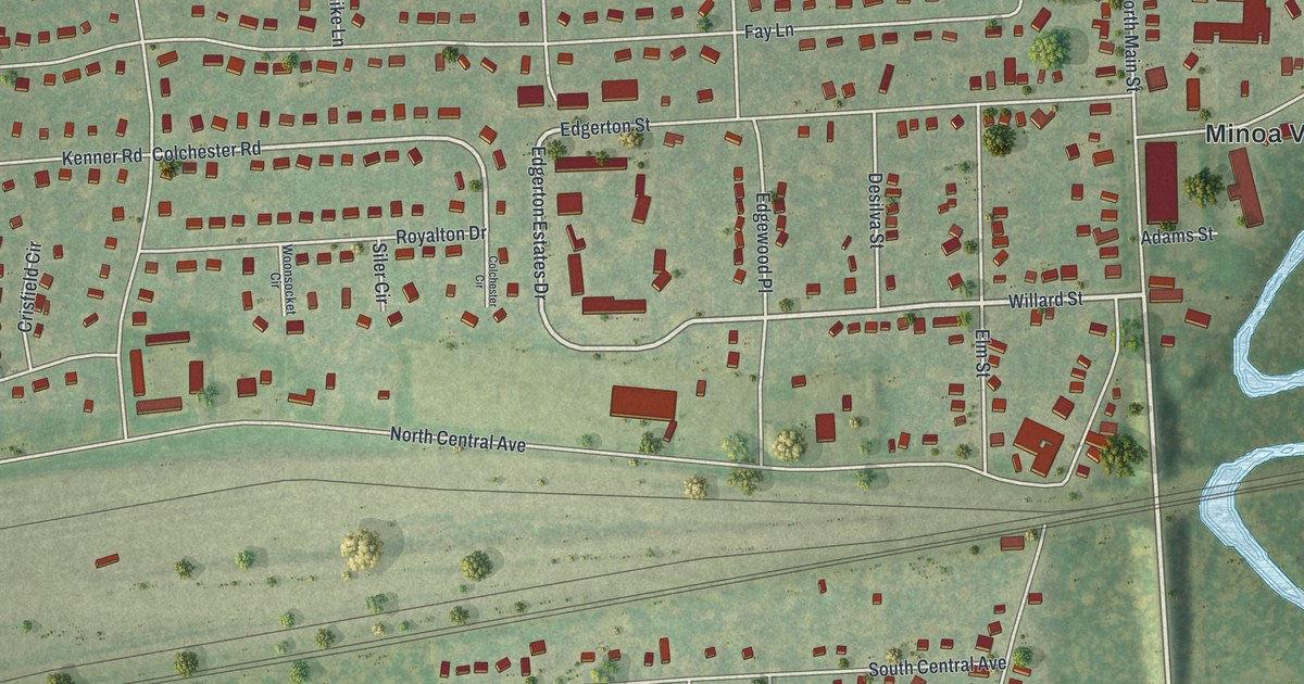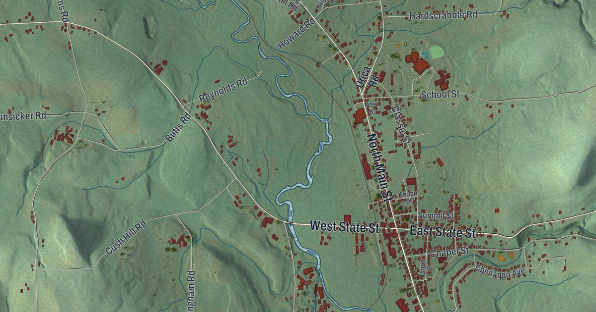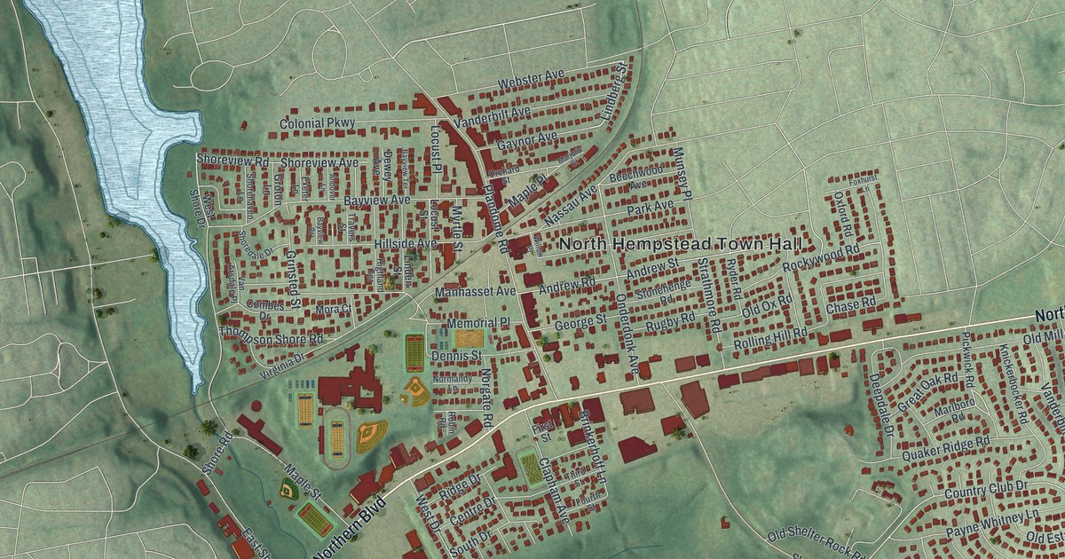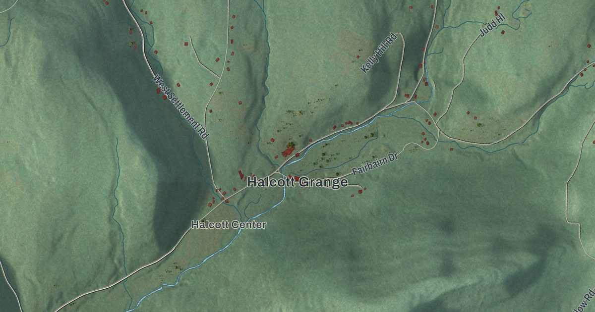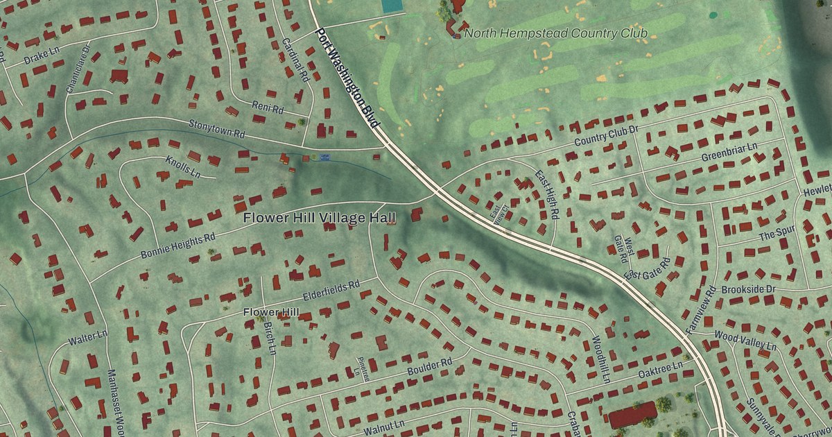
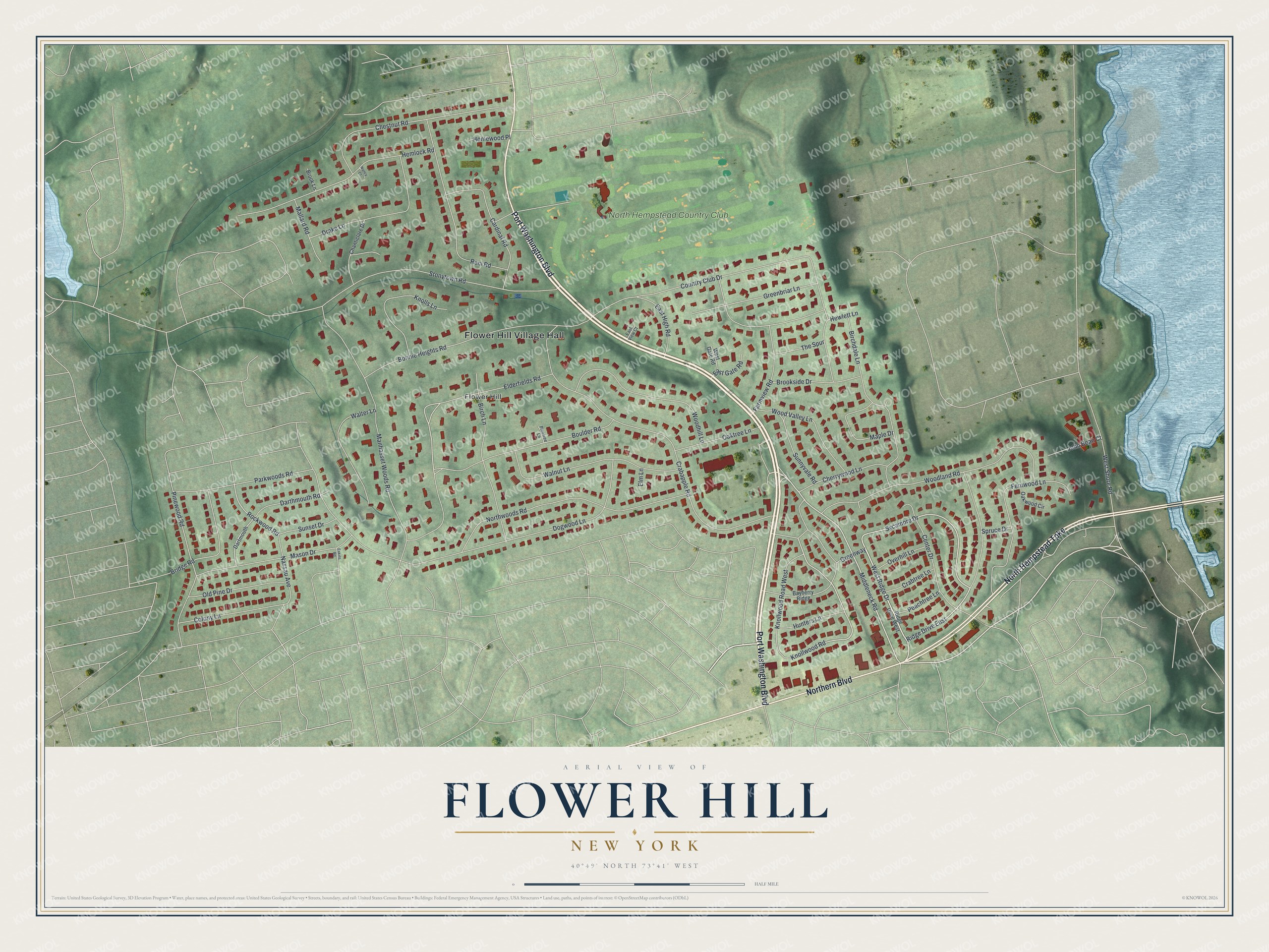
This beautifully detailed map of Flower Hill, New York was created in 2026 using aerial imagery combined with modern topographical, census, street and landmark data. It’s a one-of-a-kind view of Flower Hill that combines accurate data with a vintage aesthetic. The map shows every building in its true location, many of the roads carry their names, and the shaded topographic relief shows the shape of the land.
Explore an aerial view of Flower Hill, New York
On the map you’ll find Flower Hill Village Hall, along with Port Washington Boulevard, Northern Boulevard, Hempstead Turnpike, Ridge Drive, and more. If you look closely you can even find your house accurately drawn in its correct location. Zoom in on the preview to look for yours.
Did You Know?
Around 1900, steamship heir Carlos Munson and his wife Mabel settled in Flower Hill. They were unhappy living near so many drunk locals in the old village center. Carlos bought the land there, though he had no need for it. He gave part of it to the Franciscan Missionaries of Mary, who opened St. Francis Hospital in 1937.
Take a closer look at the Flower Hill map
Names on this map
These names are printed on this map.
Places: Flower Hill Village Hall, Flower Hill and North Hempstead Country Club.
Streets and roads: Port Washington Boulevard, Northern Boulevard, North Hempstead Turnpike, West Ridge Drive, Middleneck Road, Sycamore Drive, Knollwood Road, Elderfields Road, Rockwood Road, Pinewood Road, Dogwood Lane, Country Club Drive.
More street names, A to Z
Bayberry Ridge, Birchdale Lane, Birch Lane, Bonnie Heights Road, Boulder Road, Bridge Road, Brook Lane, Brookside Drive, Cardinal Road, Center Drive, Chanticlare Drive, Cherrywood Lane, Chestnut Road, Colony Lane, Crabapple Road, Crabtree Lane, Darthmouth Road, Dartmouth, Drake Lane, Eakins Road, East Gate Road, East High Road, East View Court, Elm Lane, Farmview Road, Fernwood Lane, Greenbriar Lane, Greenway, Hemlock Road, Hewlett Lane, Homewood Place, Hunters Lane, John Bean Court, Knolls Lane, Knollwood Road West, Mallard Road, Manhasset Woods Road, Maple Drive, Mason Drive, Nancy Court, Nassau Avenue, Northwoods Road, Oaktree Lane, Oakwood Circle, Old Pine Drive, Overhill Lane, Parkwoods Road, Peachtree Lane, Pinetree Lane, Reni Road, Ridge Drive East, Ridge Drive West, Spruce Drive, Stonytown Road, Sunnyvale Road, Sunset Drive, The Spur, Walnut Lane, Walter Lane, West Gate Road, West Shore Road, Woodhill Lane, Woodland Road, Wood Valley Lane.
See it on a wall
The Flower Hill map as a framed print. Swipe for more.


This beautifully detailed map of Flower Hill makes an attractive addition to your office, library, or den, and it can even be used to teach children the geography and history of the area. It also makes a great gift for someone who left Flower Hill and still calls it home. When you’re done exploring, click here to get your copy of the Flower Hill map.