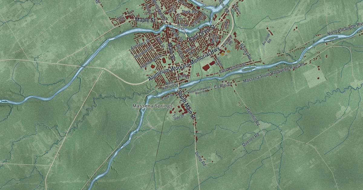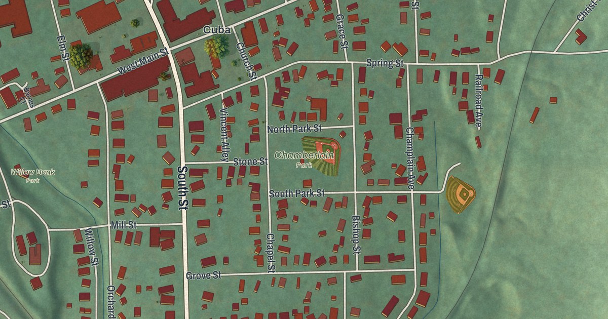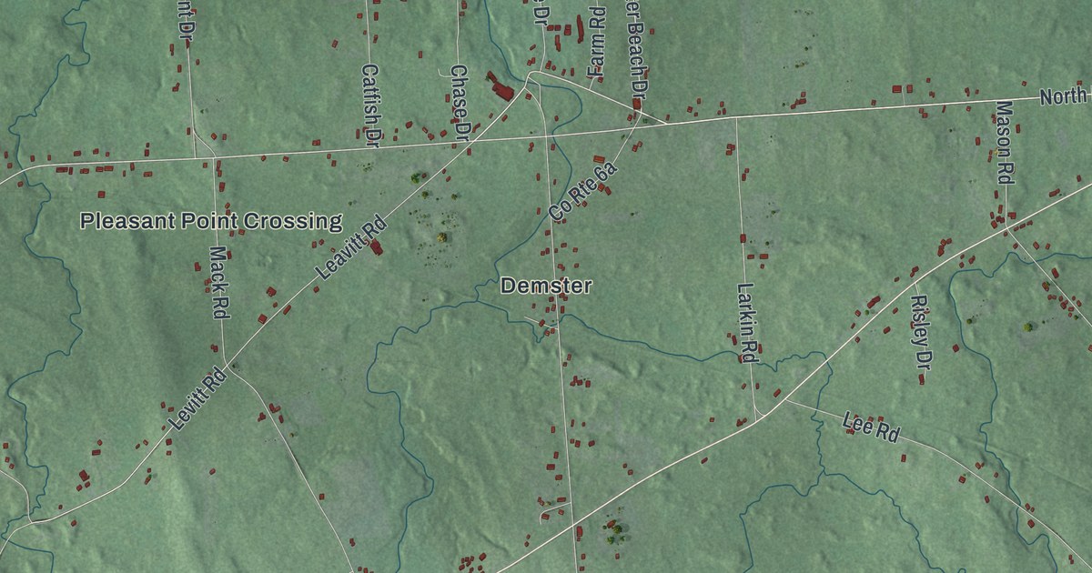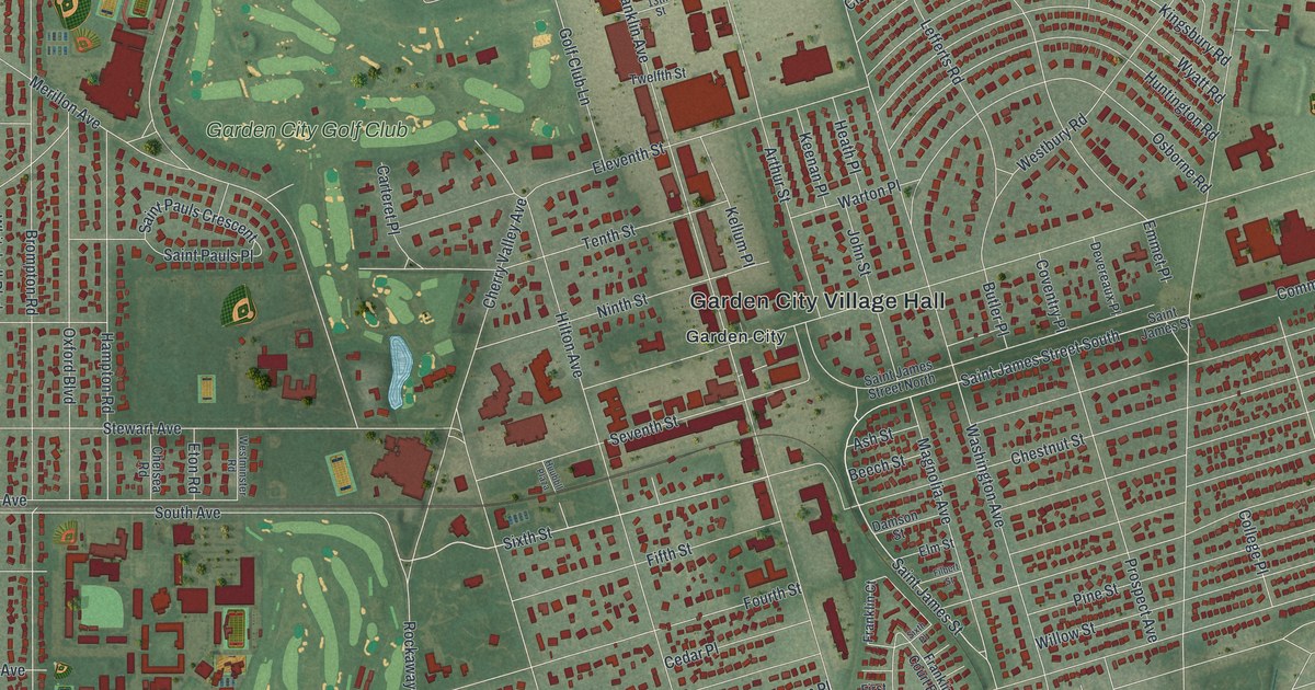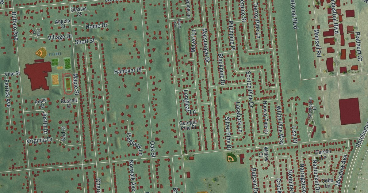
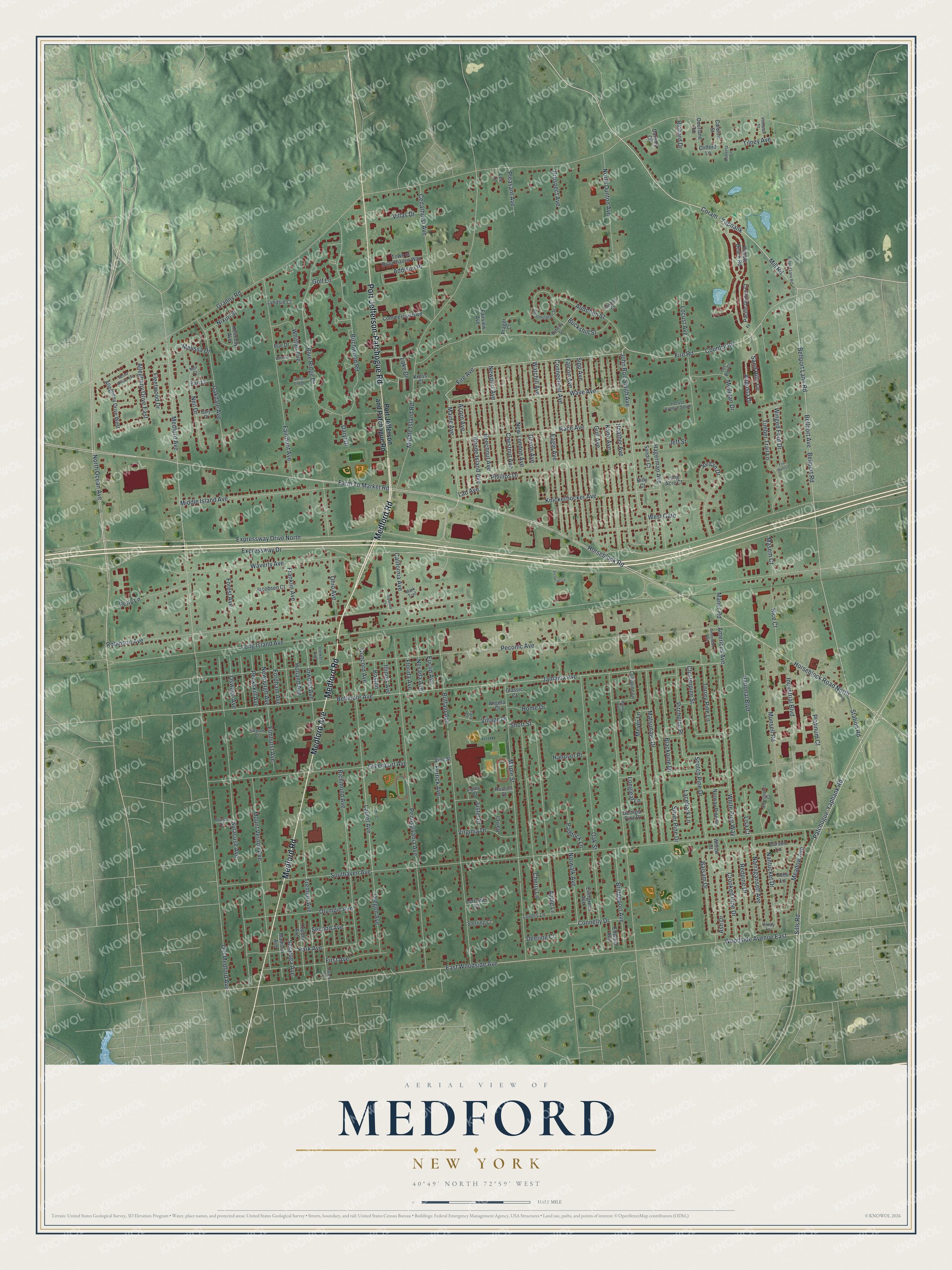
This beautifully detailed map of Medford, New York was created in 2026 using aerial imagery combined with modern topographical, census, street and landmark data. It’s a one-of-a-kind view of Medford that combines accurate data with a vintage aesthetic. The map shows every building in its true location, many of the roads carry their names, and the shaded topographic relief shows the shape of the land.
Explore an aerial view of Medford, New York
On the map you’ll find Medford Road, Medford Avenue, Port Jefferson-Patchogue Road, Port Jefferson and Patchogue Road, Ocean Avenue, and more. If you look closely you can even find your house accurately drawn in its correct location. Zoom in on the preview to look for yours.
Did You Know?
Medford began in 1843, when the Long Island Rail Road built a station in flat, empty pine barrens. A post office soon followed. In 1907 the railroad set up the Medford Prosperity Farm on 80 acres. It proved that crops could grow in the sandy pine barrens.
Take a closer look at the Medford map
Names on this map
These names are printed on this map.
Streets and roads: Medford Road, Medford Avenue, Port Jefferson-Patchogue Road, North Ocean Avenue, Mill Road, John Roe Smith Avenue, Lake Drive, Hagerman Avenue, Bellport Lane Road, Fire Road, Coram - Yaphank, Fire Avenue.
More street names, A to Z
Acorn Avenue, Addison Place, Allegheny Drive East, Allegheny Drive West, Americus Avenue, Amsterdam Avenue, Angela Court, Apple Lane, Ash Drive, Audobon Street, Augusta Drive, Balsam Drive, Bari Lane, Beechnut Avenue, Bellmore Avenue, Bellport Avenue, Bellport Road, Billy Court, Birchwood Road, Blackpine Drive, Bloomington Street, Blue Ridge Drive, Boston, Bridgeport Avenue, Buckshill Street, Buffalo Avenue, California Avenue, Camden Court, Caroline Street, Carson Lane, Cedarhurst Avenue, Cherry Lane, Chestnut Avenue, Christopher Court, Classic Court, Clifford Lane, Clusterpine Street, Cobb Lane, Commercial Boulevard, Concord Avenue, Connecticut Avenue, Connelly Drive, Country Road, Crooked Pine Drive, Daremy Circle, Daryl Drive, Deering Court, Devon Avenue, Dourland Road, Dyberry Street, Eagle Avenue, East Woodside Avenue, Edward Avenue, Elmhurst Avenue, Emily Court, Euclid Avenue, Evergreen Avenue, Expressway Drive, Expressway Drive North, Fairmont Avenue, Fairview Avenue, Falcon Avenue, Farm To Market Road, Ferrick Avenue, First Avenue, Fleetwood Drive, Florida Avenue, Fordham Avenue, Forest Avenue, Fox Hunt Lane, Franklin Avenue, Gary Drive, Georgia Pine Place, Golf Lane, Granny Road, Greenport Avenue, Gull Avenue, Handy Lane, Hanover Place, Harlem Avenue, Heather Avenue, Holland Avenue, Home Drive, Horseblock Road, Horseblock Road North, Illinois Avenue, Industrial Boulevard, Inwood Avenue, Jacobsen Court, Jamaica Avenue, Jeff Street, Jordan Drive, Justin Drive, Kane Avenue, Karl Court, Kennedy Avenue, Knickerbocker Avenue, Kross Court, Lacebark Lane, Lad Avenue, Laurel Avenue, Lee Lane, Lisa Court, Locust Avenue, Locust Avenue South, Lollypine Lane, Long Acre Court, Long Island Avenue, Longleaf Lane, Lorraine Court, Lovers Lane, Lyndsie Court, Madison Avenue, Maine Avenue, Manor Road, Maple Street, Mark Trail, Masem Court, Matsunaye Drive, Maure Avenue, Meadow Avenue, Melissa Drive, Meyer Lane, Middle Island Avenue, Middle Island Road, Mount Vernon Avenue, Mount Wilson Avenue, Mulligan Drive, Munsell Road, Nantucket Drive, Narragansett Avenue, National Boulevard, Neil Court, Neil Drive, Nevada Avenue, Newburgh Avenue, New London Avenue, Newport Avenue, Nixon Street, North Dunton Avenue, Norwalk Avenue, Norway Pine Drive, Oakdale Avenue, Oak Street, Ohio Avenue, Old Medford Avenue, Olympic Avenue, Oregon Avenue, Oswego Avenue, Pacific Dunes Court, Paddock Lane, Park Avenue, Patchogue-Yaphank Road, Pebble Beach Road, Peconic Avenue, Peekskill Avenue, Pennsylvania Avenue, Petty Lane, Phillips Drive, Phineas Street, Pitchpine Place, Platinum Court, Pleasant Avenue, Poe Drive, Poplar Lane, Port Jefferson and Patchogue Road, Prager Court, Prospect Avenue, Race Avenue, Redpine Drive, Rhode Island Avenue, Rice Court, Richard Drive, Richmond Avenue, Roberta Lane, Robinson Avenue, Roywood Court, Russell Court, Sand Hills Lane, Sandra Court, Saratoga Avenue, Scotch Pine Drive, Second Avenue, Sharon Court, Short Street, Sills Road, Silver Pine Drive, Sipp Avenue, Southaven Avenue, Station Road, Sterling Court, Syracuse Avenue, Tara Court, Tee Box Court, Tilney Avenue, Timber Trail Lane, Torrey Pine Lane, Town of Brookhaven Way, Tremont Avenue, Tupper Avenue, Victorian Lane, Village Drive, Villas Drive, Vine Street, Virginia Drive, Watchill Avenue, Wave Avenue, Waverly Avenue, West End Drive, West Gate, White Pine Way, Whitman Drive, Whittier Avenue, Willow Court, Winged Foot Drive, Woodside Avenue East, Yonkers Avenue.
See it on a wall
The Medford map as a framed print. Swipe for more.


This beautifully detailed map of Medford makes an attractive addition to your office, library, or den, and it can even be used to teach children the geography and history of the area. It also makes a great gift for someone who left Medford and still calls it home. When you’re done exploring, click here to get your copy of the Medford map.