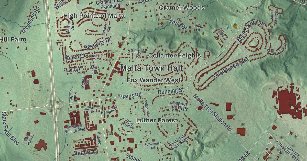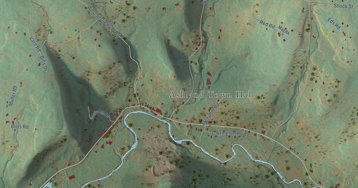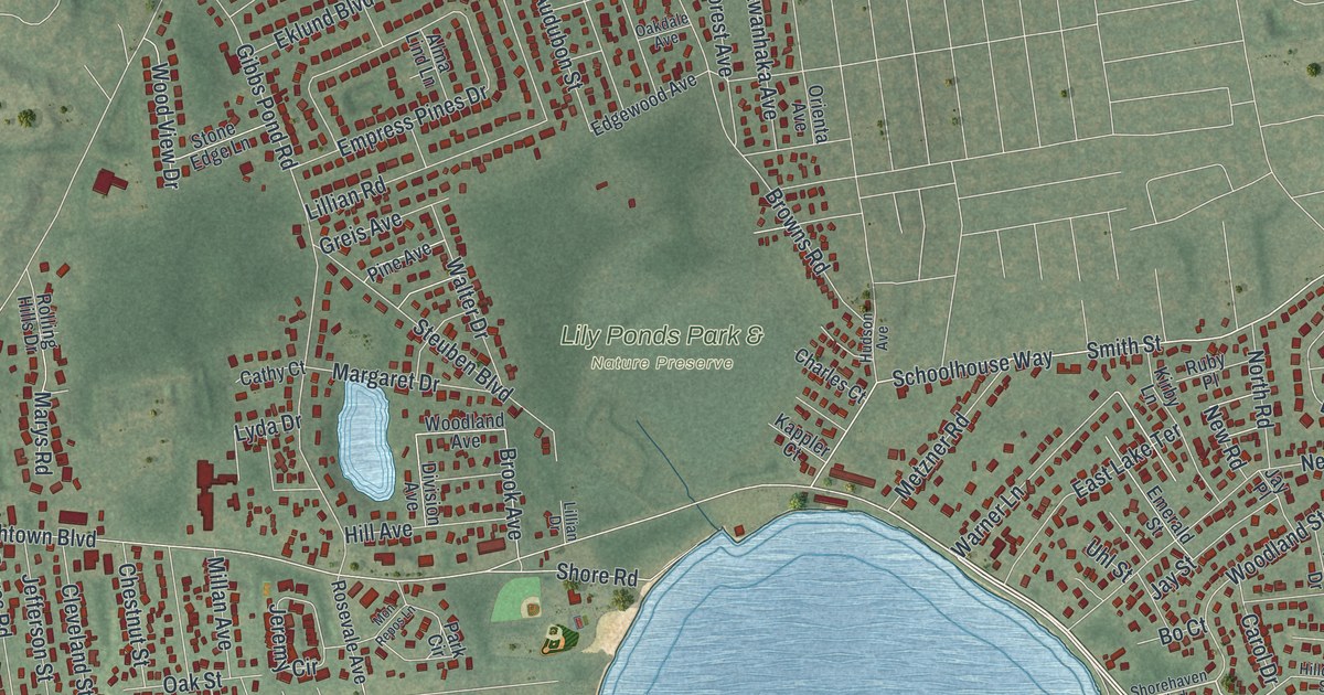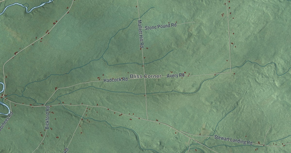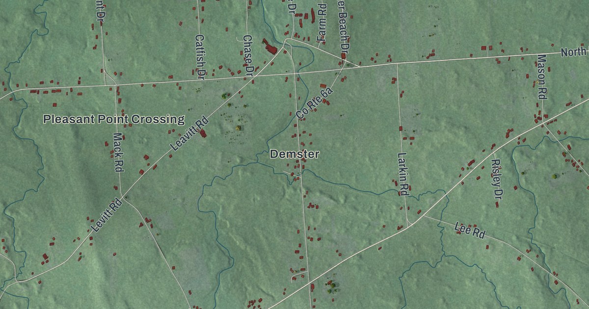
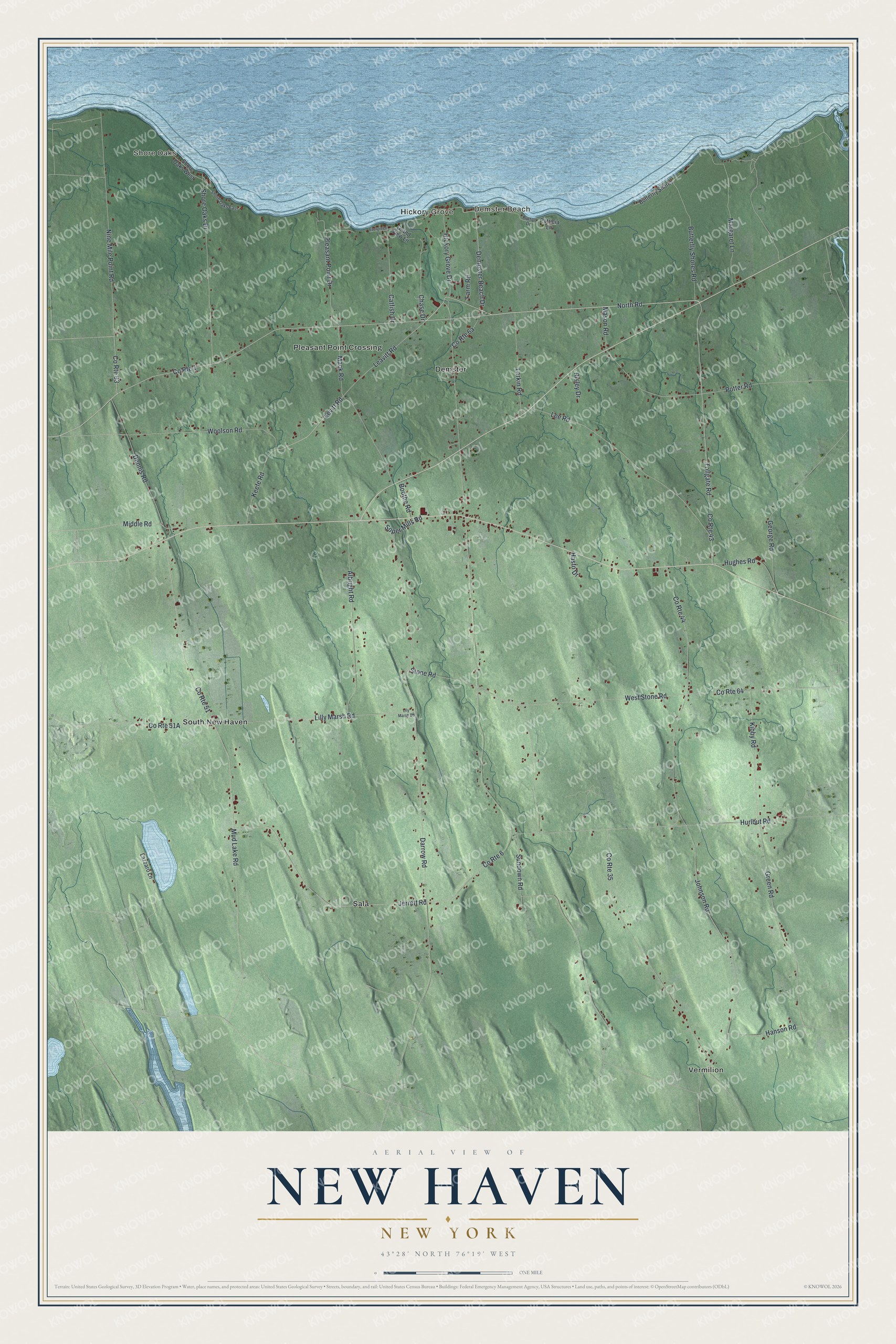
This beautifully detailed map of New Haven, New York was created in 2026 using aerial imagery combined with modern topographical, census, street and landmark data. It’s a one-of-a-kind view of New Haven that combines accurate data with a vintage aesthetic. The map shows every building in its true location, many of the roads carry their names, and the shaded topographic relief shows the shape of the land.
Explore an aerial view of New Haven, New York
On the map you’ll find Shore Oaks, Demster Beach, Hickory Grove, Demster, and Pleasant Point Crossing, along with North Road, Dempster Beach Drive, Pleasant Point Drive, Levitt Road, Leavitt Road, and more. If you look closely you can even find your house accurately drawn in its correct location. Zoom in on the preview to look for yours.
Did You Know?
Solomon Smith was the first permanent settler of New Haven. He arrived in 1800 and built the first log house in town. In 1812 he built its first framed home. The village was known as Gay Head until 1819, when it took the name New Haven. That’s from the Town of New Haven.
Take a closer look at the New Haven map
Names on this map
These names are printed on this map.
Places: Shore Oaks, Demster Beach, Hickory Grove, Demster, Pleasant Point Crossing, Sala, South New Haven and Vermilion.
Streets and roads: County Route 1, North Road, Dempster Beach Drive, Pleasant Point Drive, Levitt Road, Leavitt Road, County Route 63, Darrow Road, Lilly Marsh Road, West Stone Road, County Route 6, County Route 51.
More street names, A to Z
Albright Road, Boothe Road, Burton Drive, Butterfly Shores, Butterfly Shores Road, Catfish Drive, Chase Drive, County Route 35, County Route 43, County Route 44, County Route 64, Dennis Road, Evergreen Lane, Farm Road, George Road, Grand View Lane, Green Road, Hanson Road, Hasto Drive, Hickory Grove Drive, Hughes Road, Hurlbut Road, Jerrett Road, Johnson Road, Keefe Road, Kibby Road, Larkin Road, Lazzaro Lane, Lee Road, Lily Marsh Road, Mack Road, Margaret Lane, Mason Road, Middle Road, Mud Lake Road, Nine Mile Point Road, Patricia Lane, Potter Road, Risley Drive, Shore Oaks Drive, Shore Oaks East, Shore Oaks West, Soper Mills Road, Stone Road, Sundown Road, Tollgate Road, Woolson Road.
See it on a wall
The New Haven map as a framed print. Swipe for more.


This beautifully detailed map of New Haven makes an attractive addition to your office, library, or den, and it can even be used to teach children the geography and history of the area. It also makes a great gift for anyone with New Haven roots. When you’re done exploring, click here to get your copy of the New Haven map.