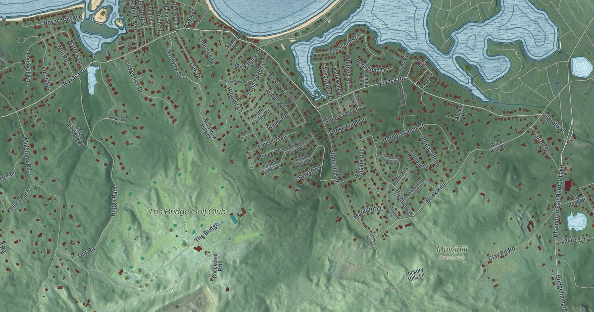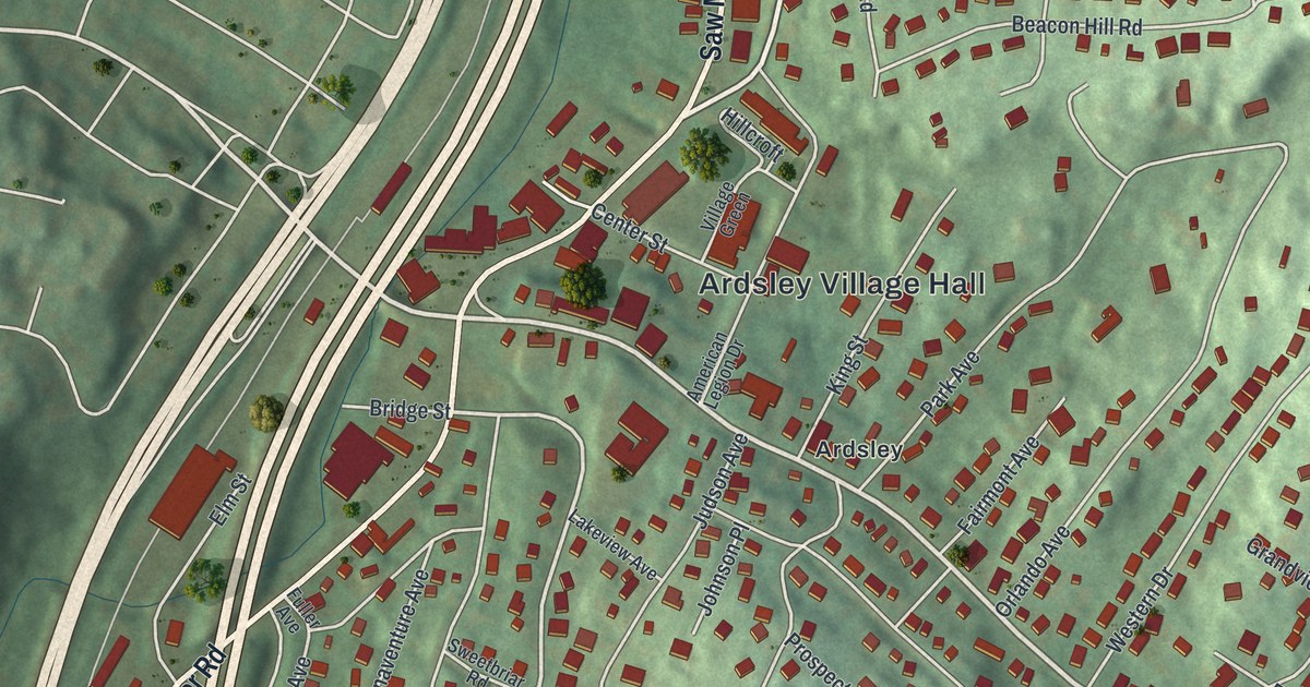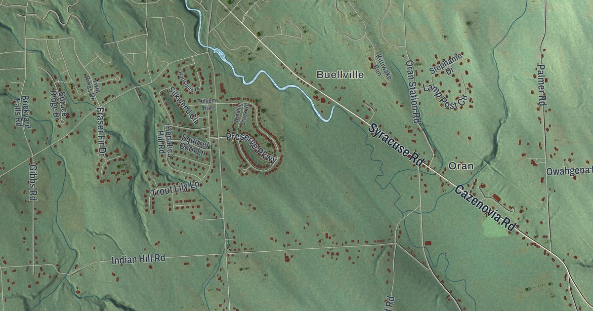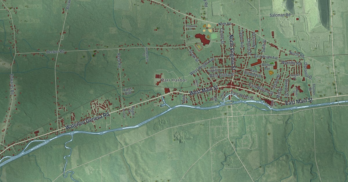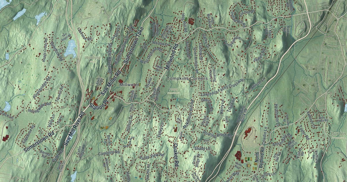
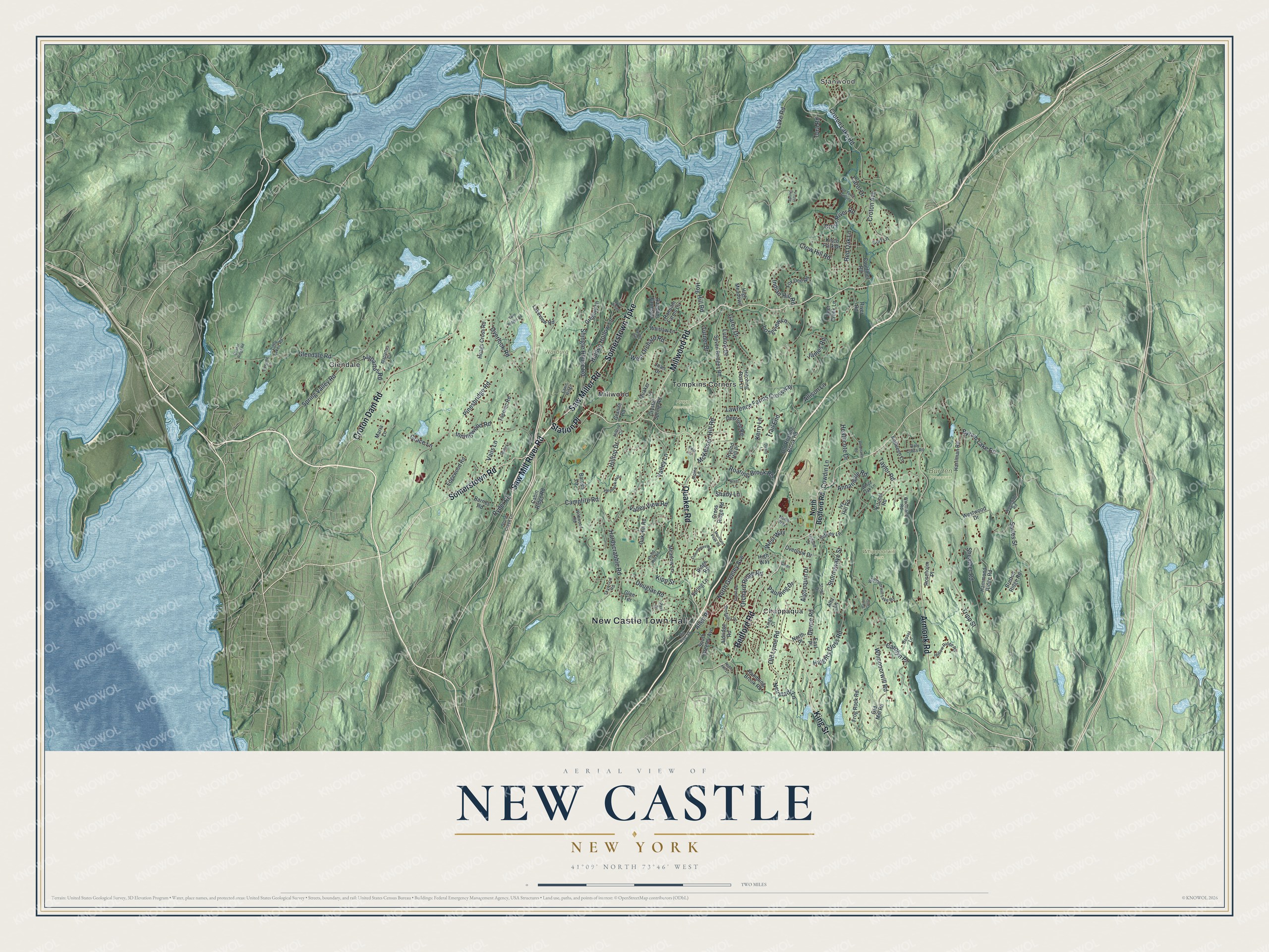
This beautifully detailed map of New Castle, New York was created in 2026 using aerial imagery combined with modern topographical, census, street and landmark data. It’s a one-of-a-kind view of New Castle that combines accurate data with a vintage aesthetic. The map shows every building in its true location, many of the roads carry their names, and the shaded topographic relief shows the shape of the land.
Explore an aerial view of New Castle, New York
On the map you’ll find New Castle Town Hall, Station Place, Stanwood, Chappaqua, Glendale, Millwood, Tompkins Corners, Burden Preserve, Pruyn Sanctuary, Warburg Park, and Whippoorwill Park, along with Somerstown Turnpike, Saw Miller Road, Millwood Road, and more. If you look closely you can even find your house accurately drawn in its correct location. Zoom in on the preview to look for yours.
Did You Know?
Two buildings from Horace Greeley’s farm in New Castle are on the National Register of Historic Places. One is the Greeley House, headquarters of the local historical society. The other, called Rehoboth, was the first concrete barn in the country.
Take a closer look at the New Castle map
Names on this map
These names are printed on this map.
Places: New Castle Town Hall, Stanwood, Burden Preserve, Pruyn Sanctuary, Warburg Park, Whippoorwill Park, Chappaqua, Glendale, Millwood and Tompkins Corners.
Streets and roads: Somerstown Turnpike, Saw Miller Road, Millwood Road, Station Place, Saw Mill River Road, King Street, Bedford Road, Quaker Road, Armonk Road, Croton Dam Road, Somerstown Road, Lake Road.
More street names, A to Z
Alapartus Circle, Alapartus Road, Aldridge Road, Algonquin Drive, Allen Place, Allison Lane, Alpine Lane, Alta Lane, Annandale Road, Apple Hill Lane, Barnes Lane, Barnes Road, Berol Close, Bessel Lane, Bretton Ridge Road, Byram Lake Road, Cabin Ridge Road, Campfire Road, Carol Drive, Carolyn Place, Castle Road, Cerf Lane, Commodore Road, Courtmel Road, Cowdin Lane, Cross Ridge Road, Cross River Road, Croton Avenue, Croton Lake Road, Crow Hill Road, Crystal Spring Road, Daly Cross Road, Danny Lane, Dawning Lane, Deer Creek Lane, Deerfield Road, Deer Ridge, Derby Lane, Devoe Road, Douglas Road, East Place, Edgewood Road, Fawn Ridge, Fox Den Road, Frog Rock Road, Garey Drive, Glendale Road, Glen Terrace, Grace Lane, Granite Road, Green Lane, Gregory Lane, Haights Cross Road, Hammond Ridge Road, Hardscrabble Road, Harriman Road, Heathcote Drive, Hemlock Hills, Hidden Hollow Lane, High Meadows, High Way, Hilltop Circle, Hilltop Drive, Hitching Post Lane, Hoags Cross Road, Hog Hill Road, Hollow Ridge Road, Indian Hill Road, Inningwood Road, Ivy Hill Road, James Road, Jeffrey Lane, Joan Drive, Kathleen Lane, Kerry Lane, Kings Court, Kipp Street, Kisco Park Drive, Kitchel Road, Lakeview Road, Lawrence Farms Crossway, Little Lakes Road, Longview Lane, Ludlow Drive, Maria Lane, McKesson Hill Road, Meadow Lane, Mill River Road, Mountain Peak Road, Neustadt Lane, North Bedford Road, North Greeley Avenue, North Place, North Way, Oak Hill Road, Old Lyme Road, Old Mill Road, Old Roaring Brook Road, Old Town Crossing, Orchard Ridge Road, Overlook Drive, Overlook Road, Park Drive, Paulding Drive, Petersville Road, Pinesbridge Road, Pond Hill Road, Prospect Drive, Quaker Lane, Quaker Ridge Road, Rambling Brook Road, Random Farms Circle, Random Farms Drive, Red Oak Lane, Ridge Road, River Road, Roaring Brook Road, Roseholm Place, Rose Lane, Round Hill Place, Ryder Road, Sarles Street, Seven Bridges Road, Shady Lane, Sheather Road, Shingle House Road, Silver Lane, Skywood Road, South Greeley Avenue, Spring Hill Lane, Spring Lane, Spring Valley Road, Stone Creek Lane, Stornowaye Street, Stowl Drive, Taconic Road, Taylor Road, Tora Road, Trail End, Tripp Street, Turner Drive, Twin Ridges Road, Upland Drive, Vails Lane, Valley Lane, Valley View Road, Walden Hill, West Orchard Road, West Way, Westwood Drive, Whippoorwill Lake Road, Whippoorwill Road, White Oak Lane, Whitlaw Lane, Wildwood Road, Woodland Road, Woodside Road.
See it on a wall
The New Castle map as a framed print. Swipe for more.


This beautifully detailed map of New Castle makes an attractive addition to your office, library, or den, and it can even be used to teach children the geography and history of the area. It also makes a great gift for someone who left New Castle and still calls it home. When you’re done exploring, click here to get your copy of the New Castle map.