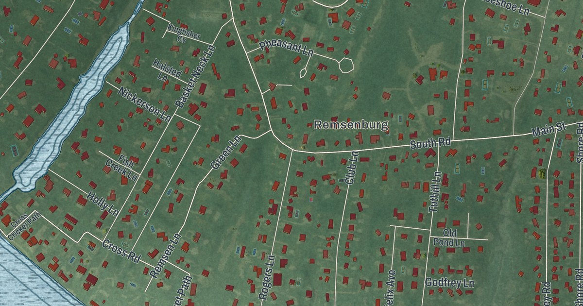
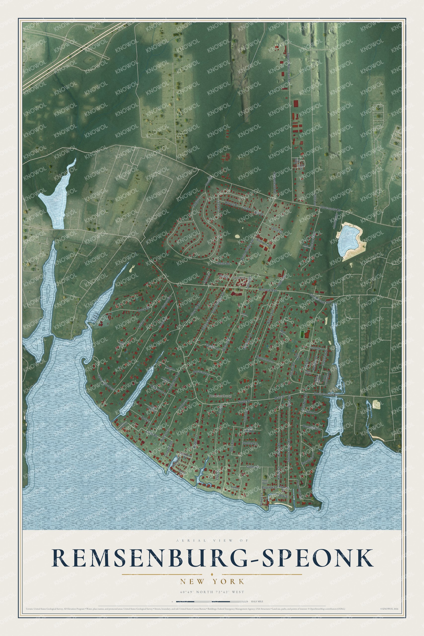
This beautifully detailed map of Remsenburg-Speonk, New York was created in 2026 using aerial imagery combined with modern topographical, census, street and landmark data. It’s a one-of-a-kind view of Remsenburg-Speonk that combines accurate data with a vintage aesthetic. The map shows every building in its true location, many of the roads carry their names, and the shaded topographic relief shows the shape of the land.
Explore an aerial view of Remsenburg-Speonk, New York
On the map you’ll find Remsenburg and Speonk, along with Phillips Avenue, Shore Road, Country Road, Montauk Highway, Main Street, and more. If you look closely you can even find your house accurately drawn in its correct location. Zoom in on the preview to look for yours.
Did You Know?
Speonk took its name from a Native American word that means high place. Later, some residents wanted the community renamed Remsenburg. They honored Charles Remsen, a leading resident who had given a new Presbyterian church. Both names are still used today, and each one covers its own part of the community.
Take a closer look at the Remsenburg-Speonk map
Names on this map
These names are printed on this map.
Places: Remsenburg and Speonk.
Streets and roads: North Phillips Avenue, South Phillips Avenue, Shore Road, South Country Road, Montauk Highway, Main Street, South Road, Cedar Lane, Speonk-Riverhead Road, Drew Drive, Old Country Road, Basket Neck Lane.
More street names, A to Z
Alexis Court, Andys Lane, Bayberry Lane, Bayview Lane, Bayview Road, Bob White Lane, Cedar Lane West, Circle Drive, Circle Place, Clay Pit Road, Club Court, Club Lane, Crestview Drive, Cricket Path, Cross Cricket Path, Cross Road, Cutler Lane, Depot Road, Dock Road, Duck Point Road, Elia Drive, Felix Avenue, Fifth Avenue, First Street, Fish Creek Lane, Garland Street, Gerard Avenue, Godfrey Lane, Green Lane, Halsey Lane, Halsey Road, Halsted Lane, Heather Drive, Hickory Bend, Holly Lane, Homestead Avenue, Horseshoe Lane, Howell Place, Jagger Path, James Avenue, Jessie Road, Kingfisher Cv, Laila Court, Laila Lane, Laura Court, Leslie Court, Mallard Lane, Mark Court, Matthews Drive, Mill Road, New Street, Nickerson Lane, Nidzyn Avenue, Old Mill Lane, Old Mill Road, Old Montauk Highway, Old Pond Lane, Pheasant Lane, Phillips Avenue, Remsen Lane, Ring Neck Road, River View Drive, Rogers Lane, Sandys Lane, Seatuck Lane, Sherri Court, South Crestview Drive, Southwind Lane, Southwind Road, Speonk Shore Road, Stokes Lane, Stokes Poges, Tall Oak Lane, Tuthill Lane, West Road, White Birch Lane, Windmere Court, Wisteria Drive, Woodcock Lane.
See it on a wall
The Remsenburg-Speonk map as a framed print. Swipe for more.


This beautifully detailed map of Remsenburg-Speonk makes an attractive addition to your office, library, or den, and it can even be used to teach children the geography and history of the area. It also makes a great gift for anyone with Remsenburg-Speonk roots. When you’re done exploring, click here to get your copy of the Remsenburg-Speonk map.