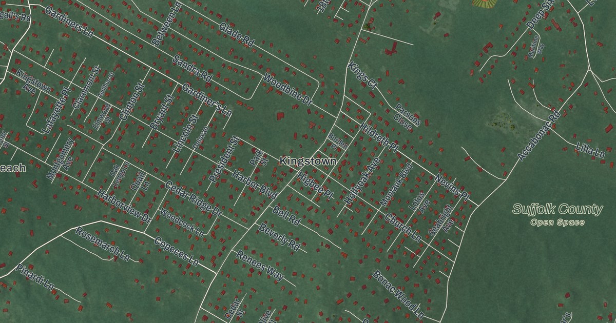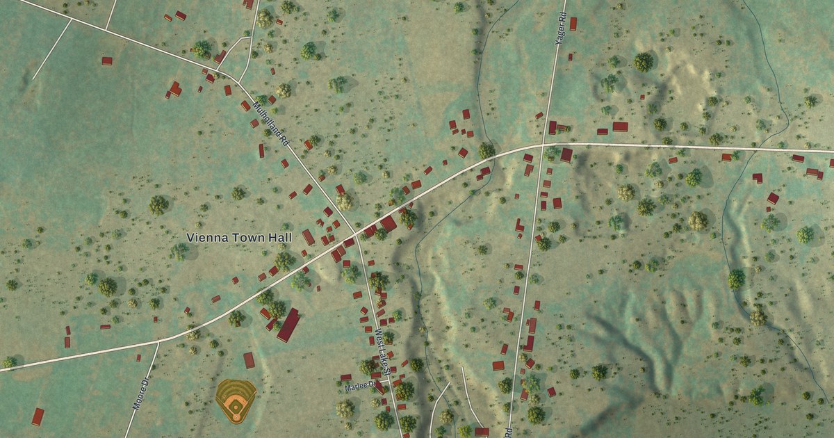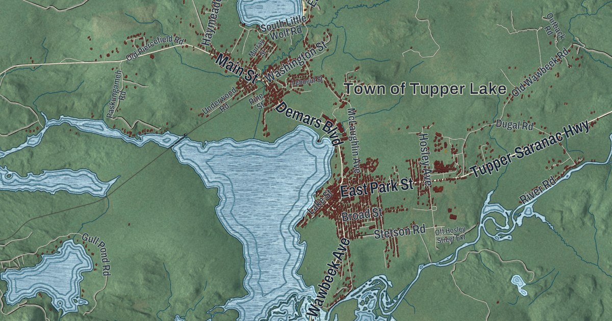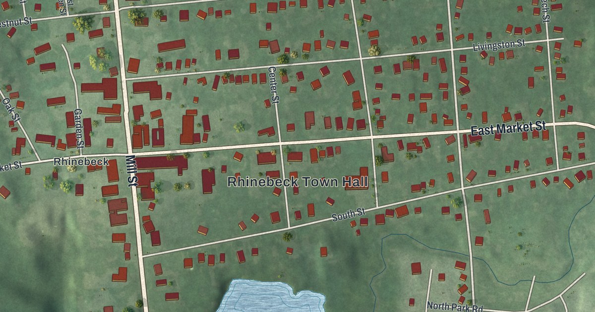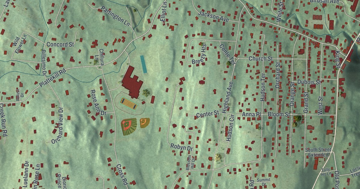
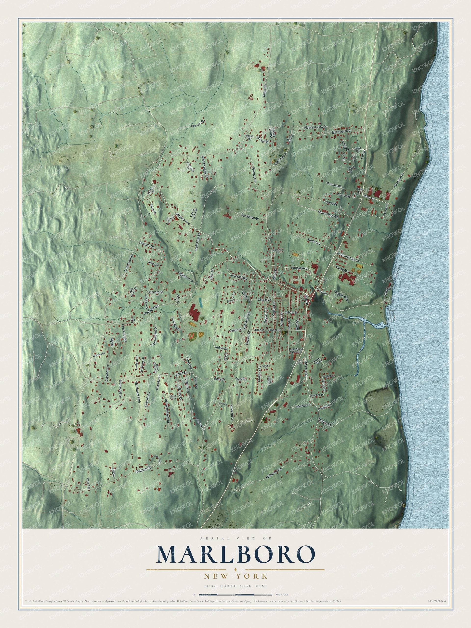
This beautifully detailed map of Marlboro, New York was created in 2026 using aerial imagery combined with modern topographical, census, street and landmark data. It’s a one-of-a-kind view of Marlboro that combines accurate data with a vintage aesthetic. The map shows every building in its true location, many of the roads carry their names, and the shaded topographic relief shows the shape of the land.
Explore an aerial view of Marlboro, New York
On the map you’ll find River Vw, along with Old Post Road, Mount Rose Road, Lattintown Road, Western Avenue, and more. If you look closely you can even find your house accurately drawn in its correct location. Zoom in on the preview to look for yours.
Did You Know?
Type designer Frederic W. Goudy turned an old water mill in Marlboro into his workshop. There he created his famous original typefaces. In January 1939 a fire destroyed the shop and the matrices for 107 of his type faces. In 1940, on his 75th birthday, Syracuse University named him to its journalism faculty. That’s from the 1940 WPA guide to New York.
Take a closer look at the Marlboro map
Names on this map
These names are printed on this map.
Places: Benmarl Winery.
Streets and roads: Old Post Road, Mount Rose Road, River Vw, Lattintown Road, Western Avenue, Highland Avenue, Ridge Road, South Street, Plattekill Road, Prospect Street, Bingham Road, Quarry Road.
More street names, A to Z
Albertson Road, Anna Place, Ann Kaley Road, Apple View Lane, Bartlett Lane, Berry Road, Billesimo Drive, Birdsall Avenue, Bixby Lane, Bloom Street, Blossom Hill Drive, Breezy Heights, Briarwood Lane, Calvin, Cameron Court, Carmen Way, Cemetary Road, Center Street, Charles Drive, Chillura Lane, Church Street, Colletta Lane, Concord Street, Consoli Drive, Conte Terrace, Creek Run Road, Cricchio Lane, Cross Road, Diorio Prince Place, Diviesti Drive, Dock Road, Dogwood Lane, Dragotta Road, Dubois Street, Elliot Lane, Erc Mar Lane, Felicello Drive, Five Star Drive, Grand Street, Herman Drive, Hideaway Lane, Hillcrest Center Drive, Hillcrest Drive, Hillcrest Manor Drive, Hudson Banks Lane, Hudson Circle, Hudson Terrace, Hudson Way, Ivy Lane, Jackson Avenue, James Street, Jonathan Place, King Street, Lamela Drive Pvt, Lauria, Lauria Drive, Little Brook Lane, Locust Tree Lane, Luelann Drive, McLaughlin Drive, Mc Loughlin Road, Memory Lane, Michael Place, Millhouse Road, Mill Pond Road, My Road, Old Dock Road, Orange Street, Orchard Street, Orchard View Drive, Overlook Bluff, Papuli Terrace, Partington Lane, Pascale Place, Pleasant View Drive, Polizzi Drive, Poppy Lane, Purdy Avenue, Ridgeview Lane, Riverview Drive, Robyn Drive, Rosa Drive, Rose Ann Drive, Shari Drive, Sharon Lane, Shavone Lane, South Street Extended, Stuart Drive, Summit Drive, Tabor Place, Tally Ho Lane, Tyler Terrace, Villa Di Leonardo, Vineyard Lane, Vin Rose Lane, Warren Street, West Street, White Street, Wild Flower Lane, Windswept Path, Wyms Heights Drive, Young Avenue.
See it on a wall
The Marlboro map as a framed print. Swipe for more.


This beautifully detailed map of Marlboro makes an attractive addition to your office, library, or den, and it can even be used to teach children the geography and history of the area. It also makes a great gift for anyone who grew up in Marlboro or moved away. When you’re done exploring, click here to get your copy of the Marlboro map.