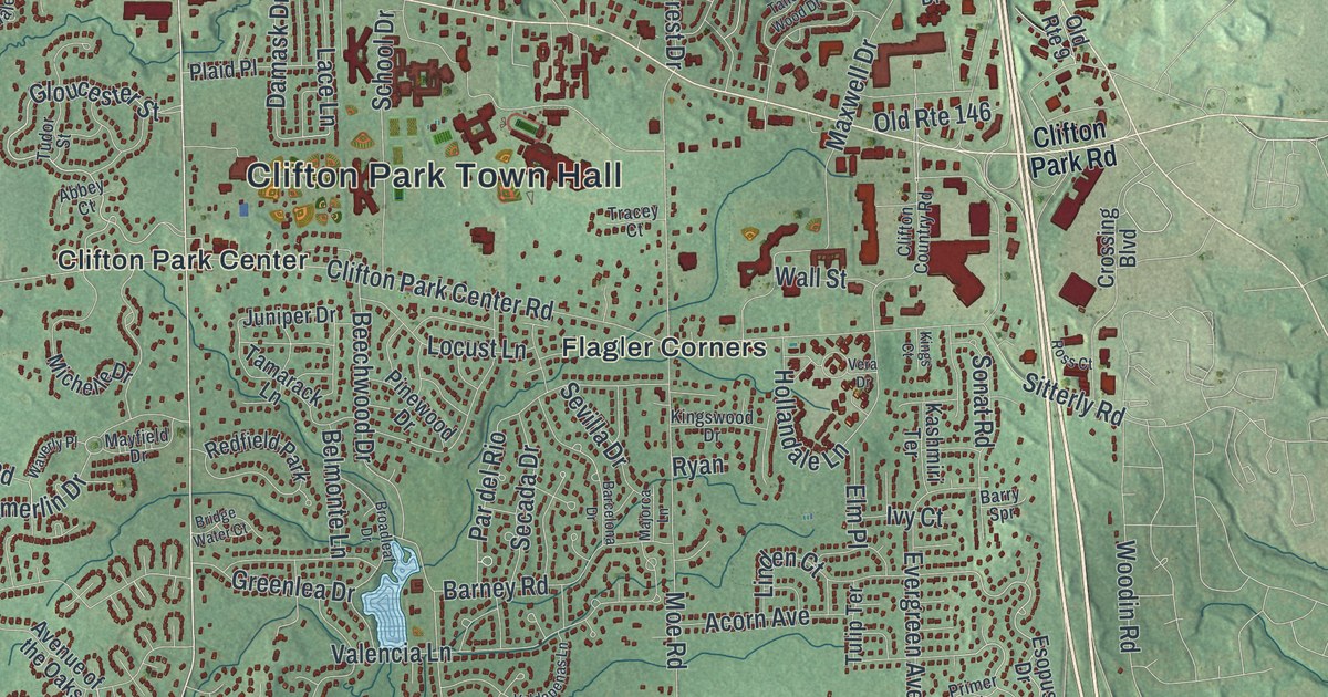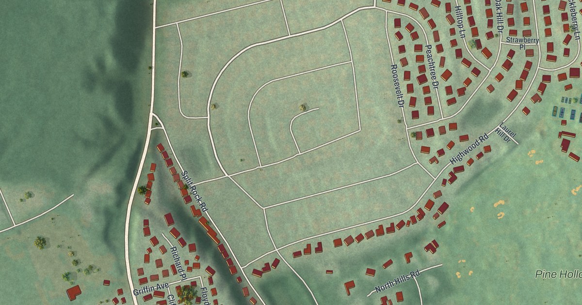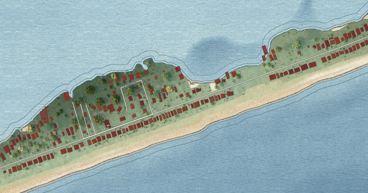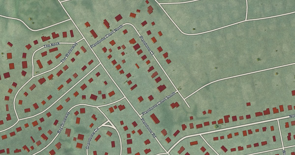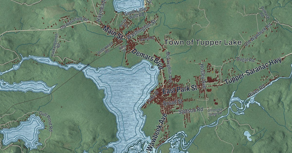
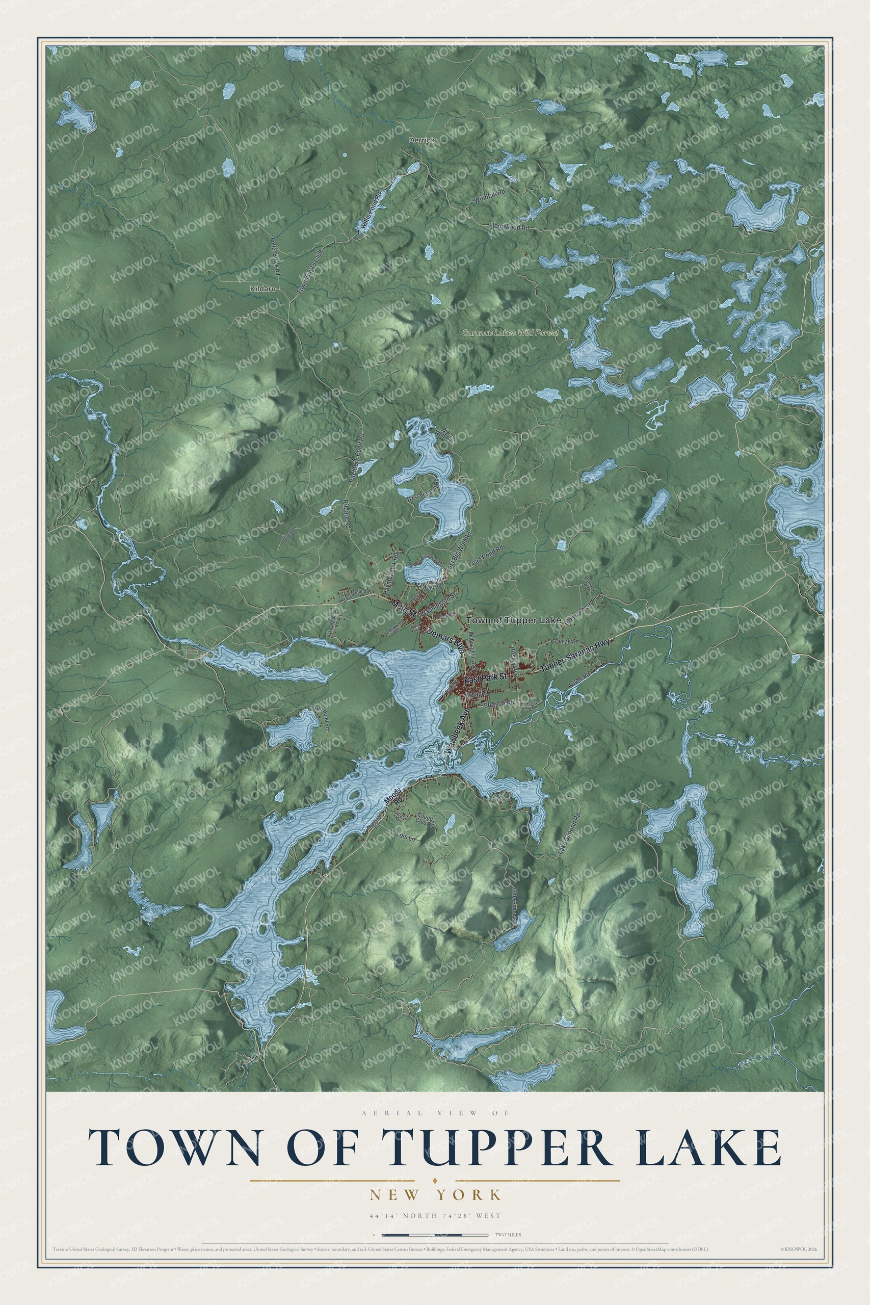
This beautifully detailed map of the Town of Tupper Lake, New York was created in 2026 using aerial imagery combined with modern topographical, census, street and landmark data. It’s a one-of-a-kind view of the Town of Tupper Lake that combines accurate data with a vintage aesthetic. The map shows every building in its true location, many of the roads carry their names, and the shaded topographic relief shows the shape of the land.
Explore an aerial view of the Town of Tupper Lake, New York
On the map you’ll find Derrick, Kildare, and Saranac Lakes Wild Forest, along with Demars Boulevard, Park Street, Tupper-Saranac Highway, Wawbeek Avenue, Main Street, and more. If you look closely you can even find your house accurately drawn in its correct location. Zoom in on the preview to look for yours.
Did You Know?
In 1889 Uncle John Hurd pushed his Northern and Adirondack Railroad to the shore of Tupper Lake. There he built a giant sawmill, and the early village grew up around it. Tupper Lake became the industrial and business capital of the Adirondacks, with lumber, paper and woodworking plants. That’s from the 1940 WPA guide to New York.
Take a closer look at the Town of Tupper Lake map
Names on this map
These names are printed on this map.
Places: Town of Tupper Lake, Derrick, Kildare and Saranac Lakes Wild Forest.
Streets and roads: Demars Boulevard, East Park Street, Tupper-Saranac Highway, Wawbeek Avenue, Main Street, East Big Wolf Road, Lead Pond Road, Township 19 Club, Kildare Road, Lake Simond Road, Floodwood Road, Pitchfork Pond Road.
More street names, A to Z
Big Wolf Road, Broad Street, Charland Road, Country Club Road, Dugal Road, Gaze Road, Gull Pond Road, Haymeadow Pond Road, Haymeadow Road, Hosley Avenue, Lake Street, Leboeuf Street, Little Simon Road, Lois Lane, McLaughlin Avenue, Moody Road, Murray Street, North Little Wolf Road, Off Hosley Street Extension, Old Piercefield Road, Old Wawbeek Road, Outback Road, Paskungameh Road, Pine Street, Potter Brook Road, River Road, South Little Wolf Road, Stetson Road, Tamarac Drive, Underwood Road, Washington Street, West Big Wolf Road, Willis Pond Road, Windfall Road.
See it on a wall
The Tupper Lake map as a framed print. Swipe for more.


This beautifully detailed map of the Town of Tupper Lake makes an attractive addition to your office, library, or den, and it can even be used to teach children the geography and history of the area. It also makes a great gift for anyone who grew up in the Town of Tupper Lake or moved away. When you’re done exploring, click here to get your copy of the Town of Tupper Lake map.