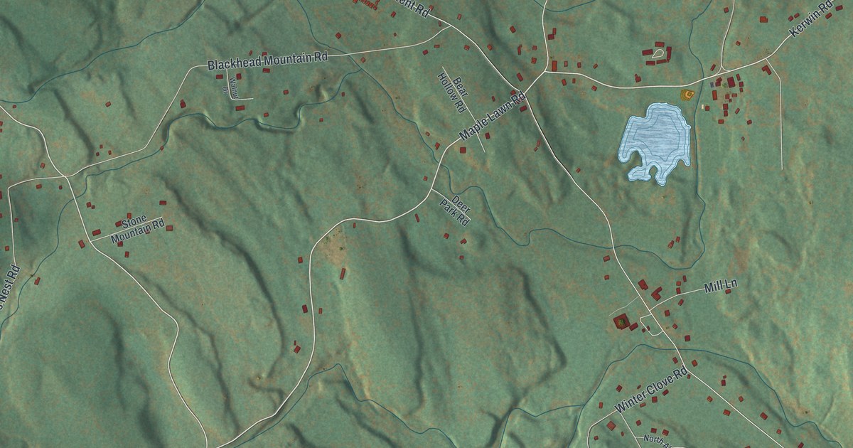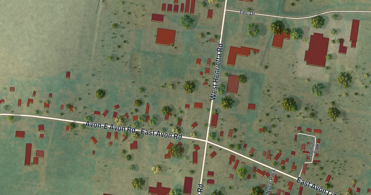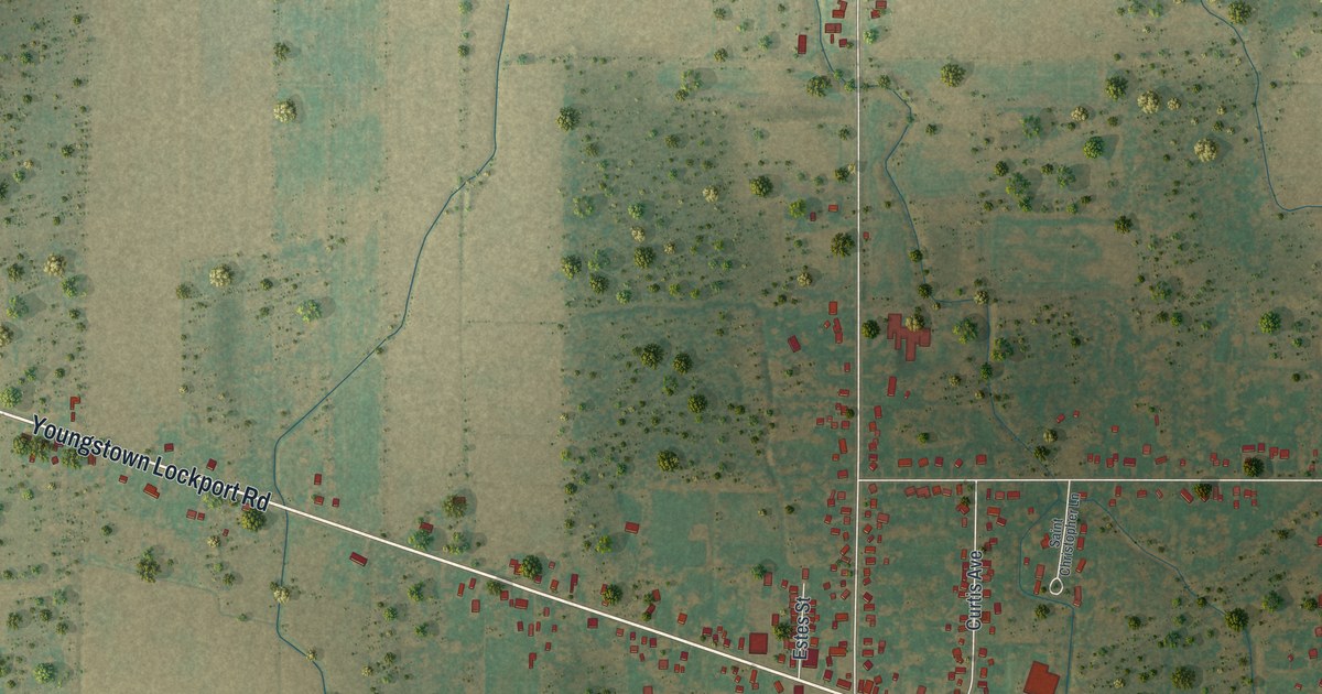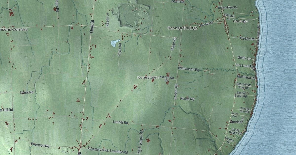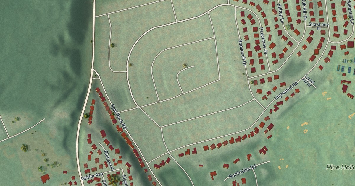
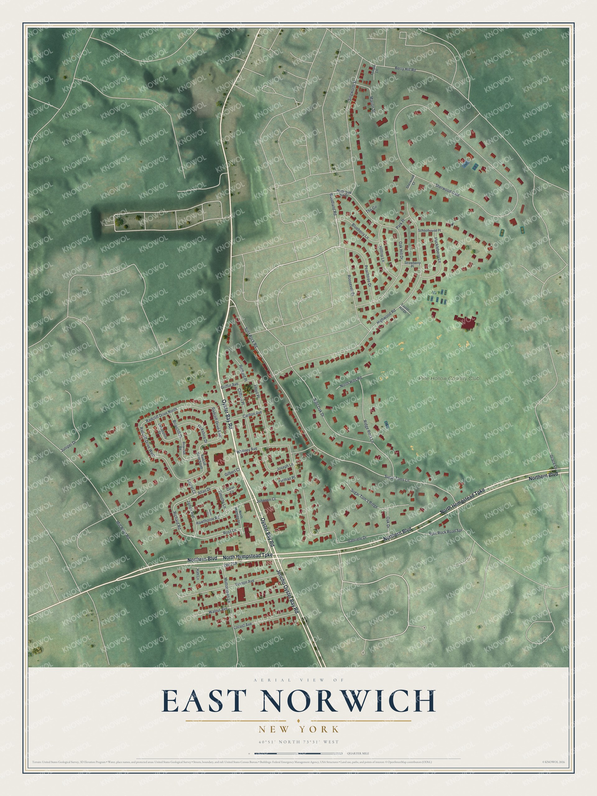
This beautifully detailed map of East Norwich, New York was created in 2026 using aerial imagery combined with modern topographical, census, street and landmark data. It's a modern aerial view of East Norwich in Nassau County, New York, that combines modern data with a vintage aesthetic. The roads feature printed names, and if you look closely you can find your exact house accurately shown in its correct location.
Explore an aerial view of East Norwich, New York
On this map you'll find Pine Hollow Country Club, Oyster Bay Road, North Hempstead Turnpike, Northern Boulevard, Jericho Oyster Bay Road, Sugar Toms Lane, Woodland Road, Ross Lane, Richard Road, Allan Drive, Sherwood Gate, Split Rock Road, and more. Each red shape is a building, so zoom in on the preview and look for yours.
East Norwich has a story worth telling. East Norwich was first called Norwich by James and George Townsend, sons of John Townsend, who owned a tract of land here about 1680. They named it for their father's birthplace, Norwich, England, and the word East was put in front of the name for the post office. In September 1880 a few East Norwich residents raised about 1,000 dollars for a hand press and started a weekly paper, the East Norwich Enterprise, with Halsted H. Frost as manager. That's from the 1882 History of Queens County.
East Norwich is a community in Nassau County. The Census Bureau counted 2,792 people here in 2020. East Norwich sits about 2 miles north of Muttontown, 2 miles east of Upper Brookville and 3 miles northwest of Syosset. The map prints the town name in its title panel, with the coordinates below it.
Take a closer look at the East Norwich map
Names on this map
These names are printed on this map.
Places: Pine Hollow Country Club.
Streets and roads: Oyster Bay Road, North Hempstead Turnpike, Northern Boulevard, Jericho Oyster Bay Road, Sugar Toms Lane, Woodland Road, Ross Lane, Richard Road, Allan Drive, Radcliff Drive East, Sherwood Gate, Split Rock Road.
More street names, A to Z
Berry Hill Road, Blueberry Lane, Briarcliff Drive, Briarcliff Road, Carlton Avenue, Clifford Place, Coral Cv, Devonshire Drive, Floyd Place, Furman Place, Gabriele Drive, Gilbert Court, Grace Lane, Griffin Avenue, Hahl Lane, Hawthorne Road, Highwood Road, Hilltop Lane, Huckleberry Lane, James Avenue, Johnson Court, Joseph Lane, Juniper Drive, Laurel Court, Laurel Hill Drive, Locust Avenue, Marion Street, Mill River Road, Muttontown Lane, North Hills Road, North Martling Street, North Oak Hill Drive, Oak Drive, Oak Hill Drive, Park Place, Peachtree Drive, Radcliff Drive North, Radcliff Drive South, Radcliff Drive West, Richard Place, Ridge Rock Lane, Roosevelt Drive, Schoolhouse Place, Sherwood Court, Singworth Street, Split Oak Drive, Split Rock Road Spr, Strawberry Place, Sugar Tom's Ridge, Susan Cv, Temple Lane, The Circle, Timothy Lane, Vernon Avenue, Walnut Avenue, Whitney Avenue, Yorkshire Drive.
See it on a wall
The East Norwich map as a framed print. Swipe for more.


Created by KNOWOL in 2026. The buildings are small red shapes, the roads carry their printed names, and shaded relief shows the shape of the land. The title panel reads "AERIAL VIEW OF EAST NORWICH, NEW YORK" with 40°51' NORTH 73°31' WEST.
It looks right in a kitchen, an office or a den, and it's a gift for anyone who grew up in East Norwich or moved away. Open the preview and find your street. See sizes and frames for the East Norwich map.