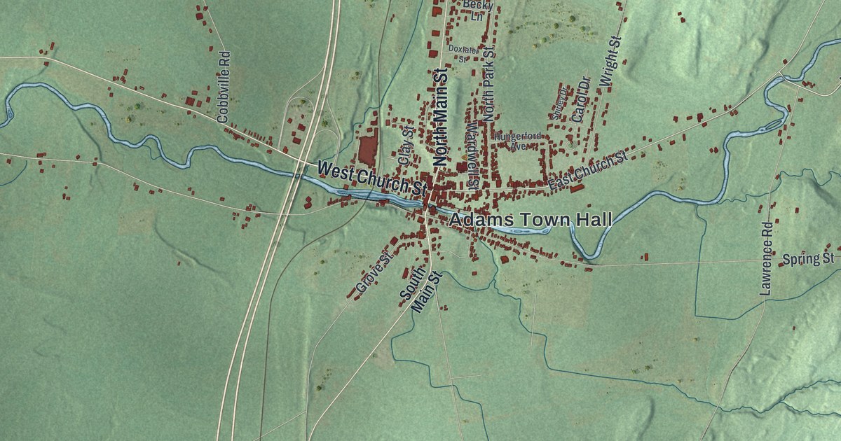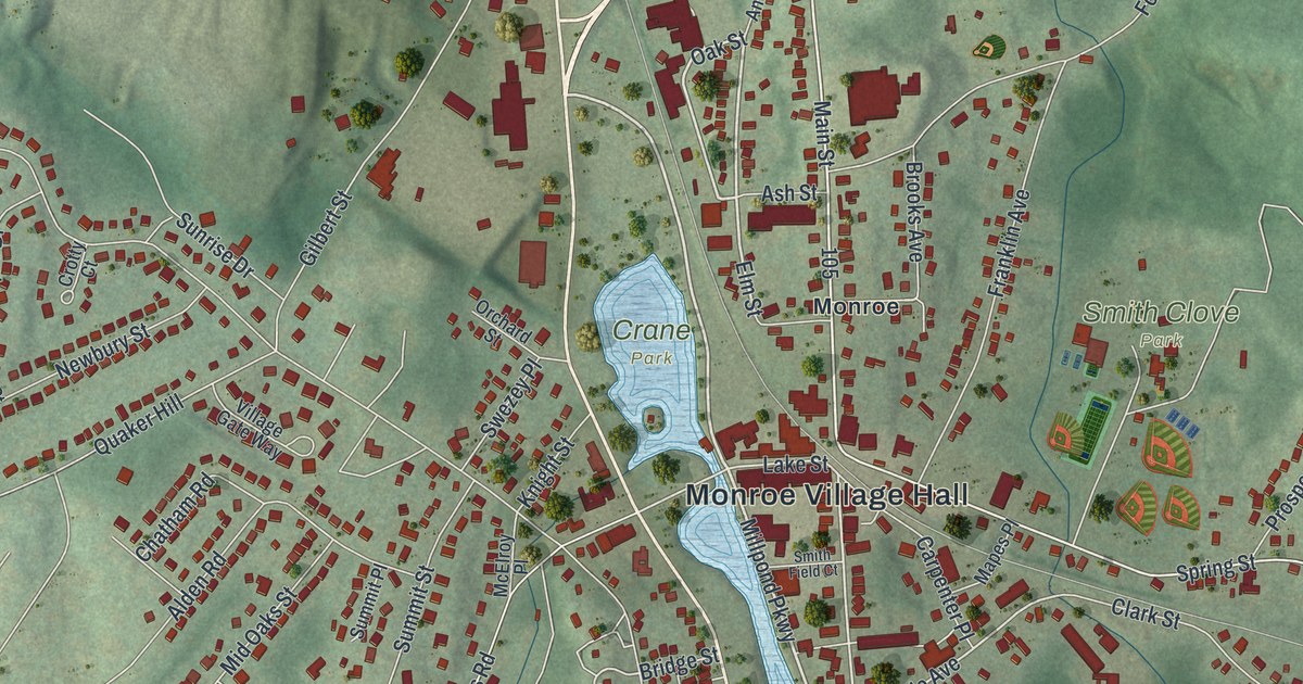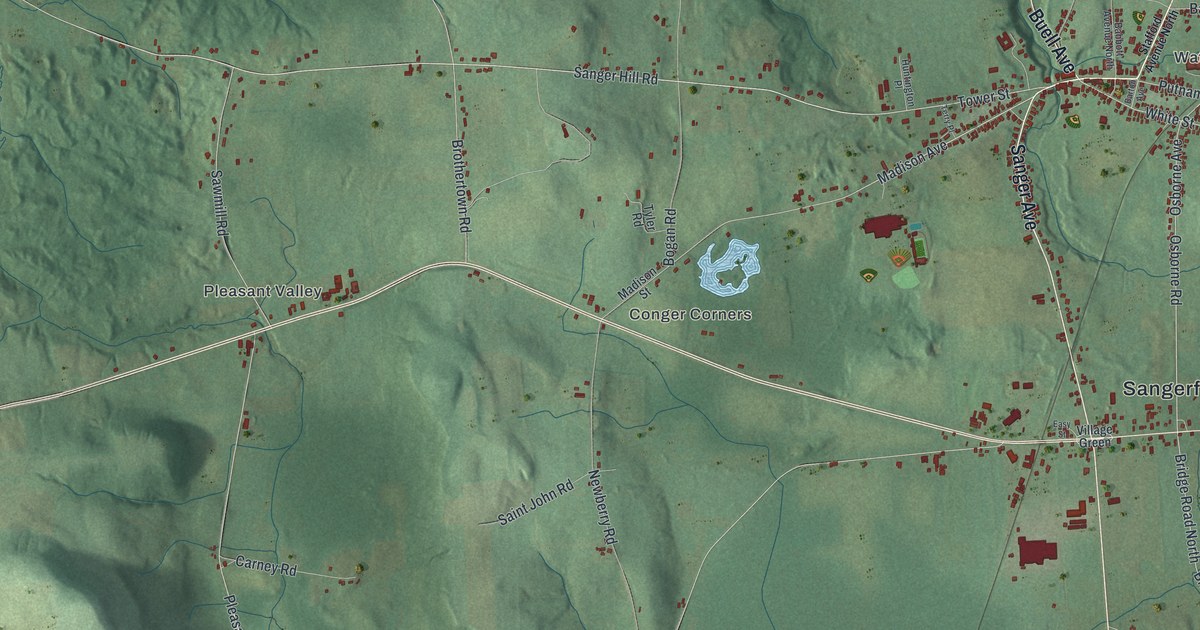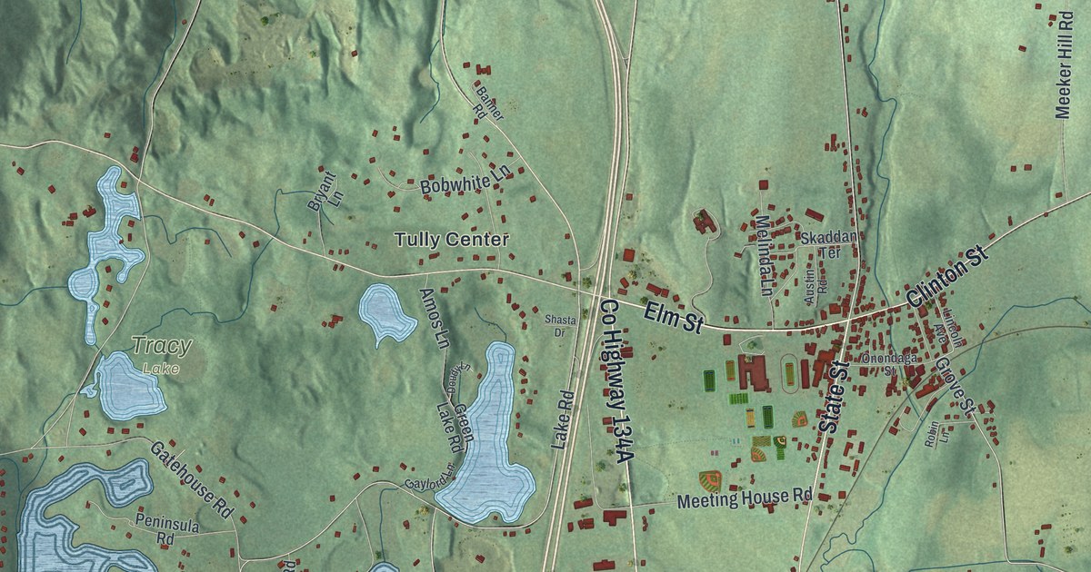
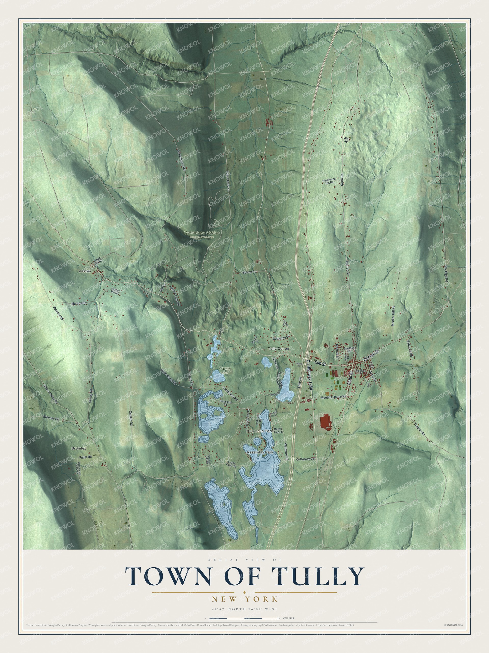
This beautifully detailed map of the Town of Tully, New York was created in 2026 using aerial imagery combined with modern topographical, census, street and landmark data. It’s a one-of-a-kind view of the Town of Tully that combines accurate data with a vintage aesthetic. The map shows every building in its true location, many of the roads carry their names, and the shaded topographic relief shows the shape of the land.
Explore an aerial view of the Town of Tully, New York
On the map you’ll find Bromley, Assembly Park, Tully Lake Park, Vesper, Tully Center, and Onondaga Nation Nature Preserve, along with Elm Street, Clinton Street, North Road, Warren Street, Grove Street, and more. If you look closely you can even find your house accurately drawn in its correct location. Zoom in on the preview to look for yours.
Did You Know?
Tully takes its name from the Roman speaker Marcus Tullius Cicero. The land was in the Military Tract, set aside to pay soldiers of the Revolution. An assistant surveyor who taught at Kings College named its townships after Roman and Greek greats. Andy Tucker, the first settler, built a log cabin here in 1795.
Take a closer look at the Town of Tully map
Names on this map
These names are printed on this map.
Places: Bromley, Assembly Park, Tully Lake Park, Vesper, Onondaga Nation Nature Preserve, Tracy Lake and Tully Center.
Streets and roads: Elm Street, State Street, Clinton Street, North Road, Warren Street, Grove Street, Truxton Road, Gatehouse Road, Wetmore Road, Lake Road, Strong Road, Bobwhite Lane.
More street names, A to Z
Amos Lane, At&t Road, Austin Road, Babcock Road, Banner Road, Beech Tree Lane, Bromley Road, Bryant Lane, County Highway 257, Crooked Lake Road, Curtain Road, Doudy Lane, Dutch Hill Road, Evans Farm Road, Frenchs Bay Road, Fuller Road, Gaylord Lane, Green Lake Road, Hawthorne Hill Road, Hidden Falls Road, Hoffman Road, Hollenbeck Road, Lincoln Avenue, Long Road, Meeker Hill Road, Meeting House Road, Melinda Lane, Murphy Road, Onondaga Street, Otisco Valley Road, Owl Lane, Peninsula Road, Robin Lane, Shasta Drive, Skaddan Terrace, Sky High Road, Solvay Road, Stevens Road, Sunfish Bay Circle, Tully Farms Road, Vesper Hill Road, West Bennett Hollow Road, Woodmancy Road.
See it on a wall
The Tully map as a framed print. Swipe for more.


This beautifully detailed map of the Town of Tully makes an attractive addition to your office, library, or den, and it can even be used to teach children the geography and history of the area. It also makes a great gift for someone who left the Town of Tully and still calls it home. When you’re done exploring, click here to get your copy of the Town of Tully map.