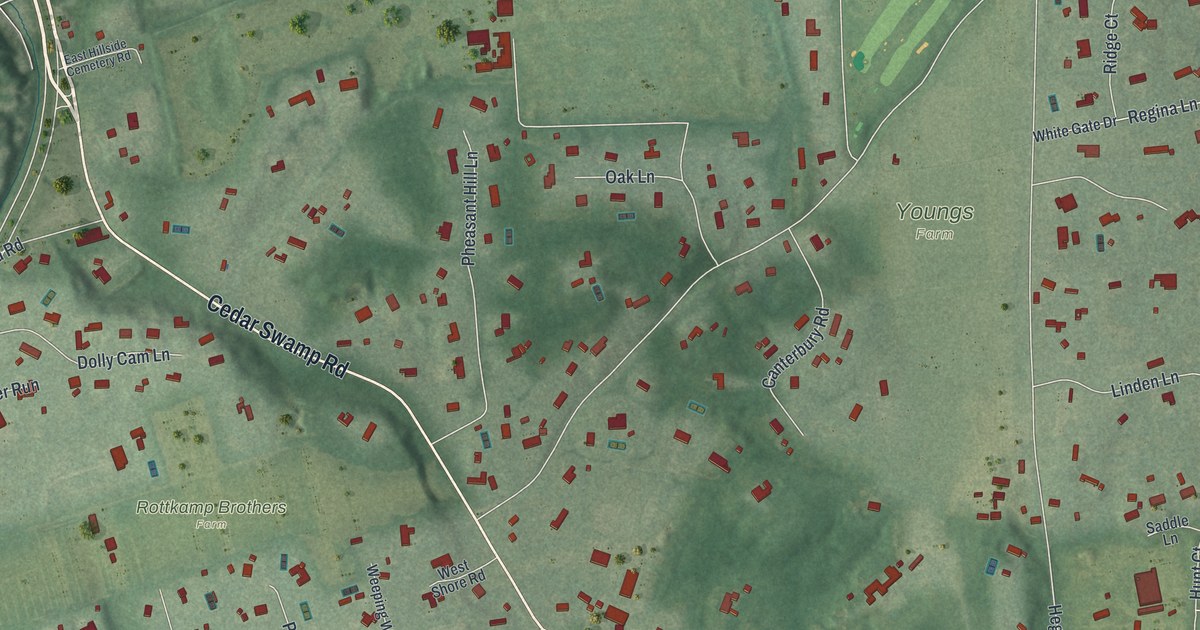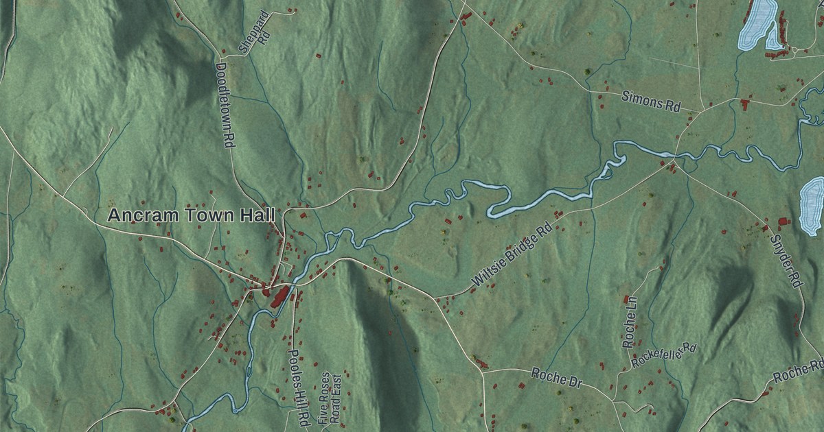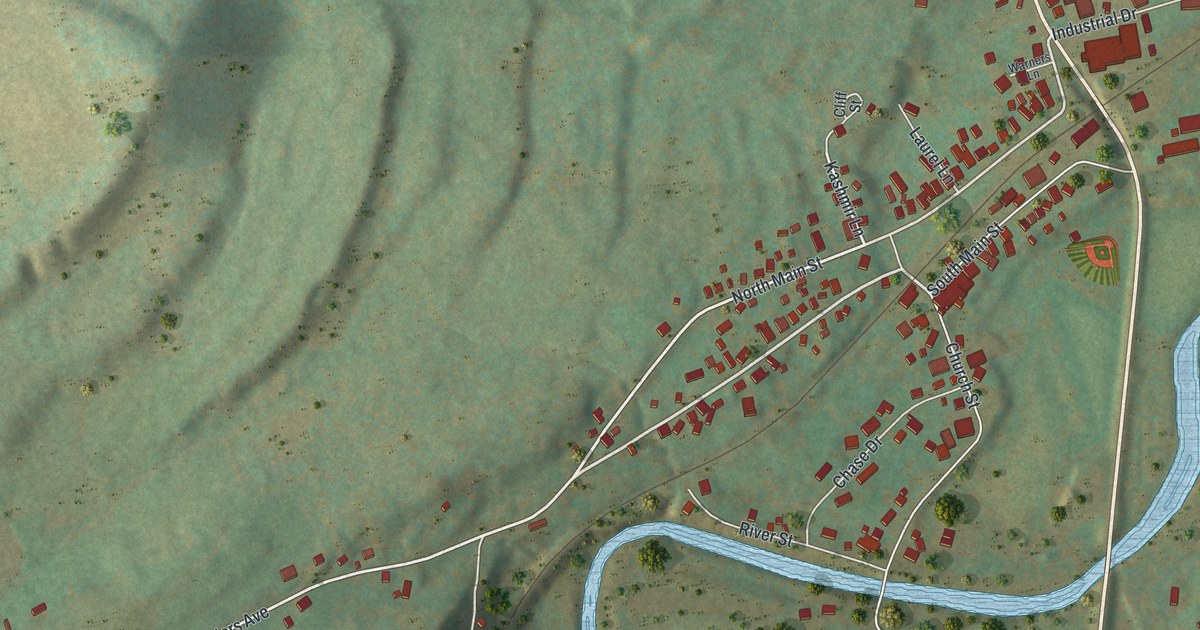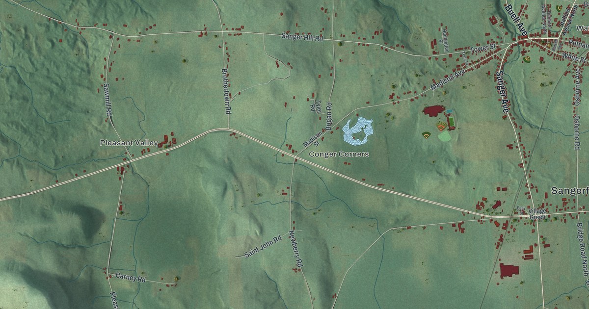
This beautifully detailed map of Sangerfield, New York was created in 2026 using aerial imagery combined with modern topographical, census, street and landmark data. It’s a one-of-a-kind view of Sangerfield that combines accurate data with a vintage aesthetic. The map shows every building in its true location, many of the roads carry their names, and the shaded topographic relief shows the shape of the land.
Explore an aerial view of Sangerfield, New York
On the map you’ll find Sangerfield Town Hall, Pleasant Valley, Conger Corners, Waterville, Stockwell, Five Corners, and Mount Hunger State Forest, along with Sanger Avenue, Buell Avenue, Stafford Avenue, Tubbs Road, and more. If you look closely you can even find your house accurately drawn in its correct location. Zoom in on the preview to look for yours.
Did You Know?
Sangerfield takes its name from Jedediah Sanger, an early settler who came from New Hartford. New York bought this land from the Oneida people in 1788 in what was called Clinton’s Purchase. A year later, surveyors laid out Township No. 20 for Sanger and two partners. It split off from Paris as a town in 1795.
Take a closer look at the Sangerfield map
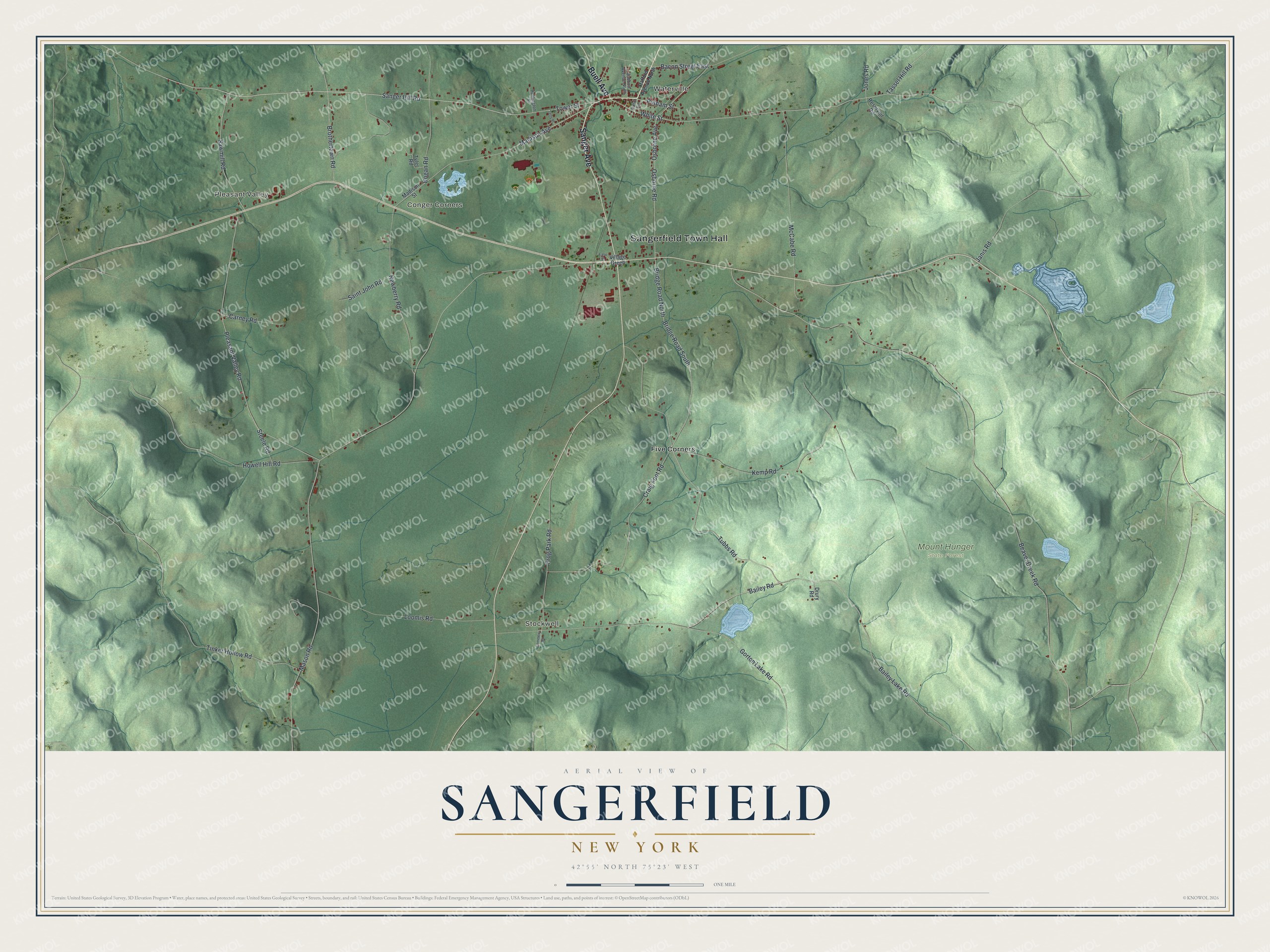
Names on this map
These names are printed on this map.
Places: Sangerfield Town Hall, Pleasant Valley, Conger Corners, Waterville, Stockwell, Mount Hunger State Forest and Five Corners.
Streets and roads: Sanger Avenue, Buell Avenue, Tubbs Road, Bridge Road South, Bridge Road North, White Street, Tower Street, Osborne Road, Osborne Avenue, Sanger Hill Road, Bailey Road, Putnam Street.
More street names, A to Z
Babbott Avenue North, Bacon Street East, Bailey Lake Road, Barton Avenue, Beaver Creek Road, Bogan Road, Brothertown Road, Carney Road, Cemetery Road, Craig Foot Road, Drury Road, Easy Street, Frog Park Road, Gorton Lake Road, Howell Hill Road, Huntington Place, Janis Road, Jones Road, Kemp Road, Loomis Road, Madison Avenue, Madison Street, Mason Road, McCabe Road, Newberry Road, Pleasant Valley Road, Reservoir Road, Saint John Road, Sawmill Road, Stafford Avenue North, Steele Road, Tassel Hill Road, Terry Place, Tinker Hollow Road, Tyler Road, Village Green.
See it on a wall
The Sangerfield map as a framed print. Swipe for more.


This beautifully detailed map of Sangerfield makes an attractive addition to your office, library, or den, and it can even be used to teach children the geography and history of the area. It also makes a great gift for anyone who grew up in Sangerfield or moved away. When you’re done exploring, click here to get your copy of the Sangerfield map.