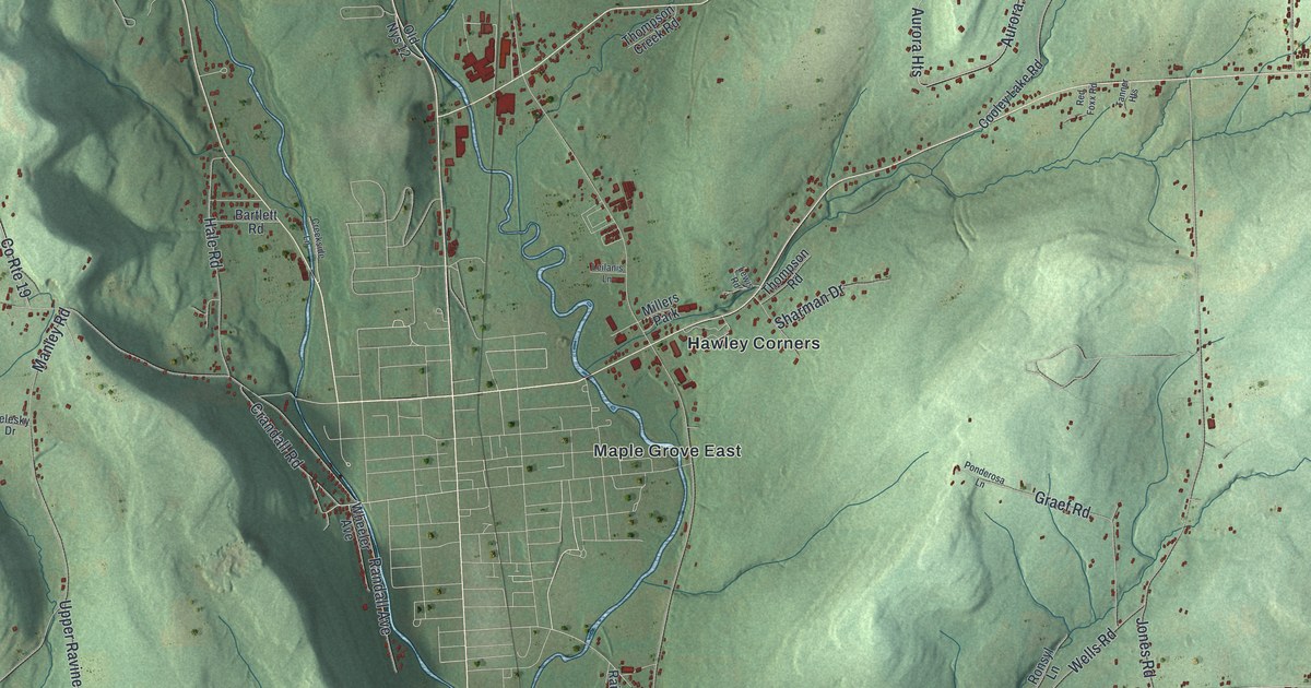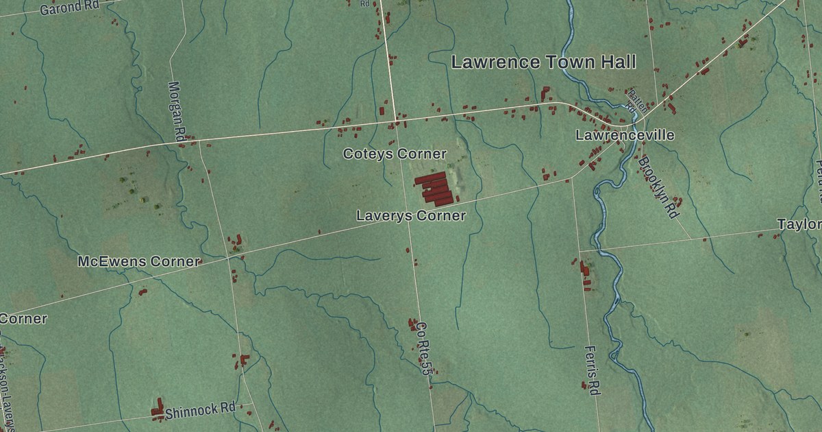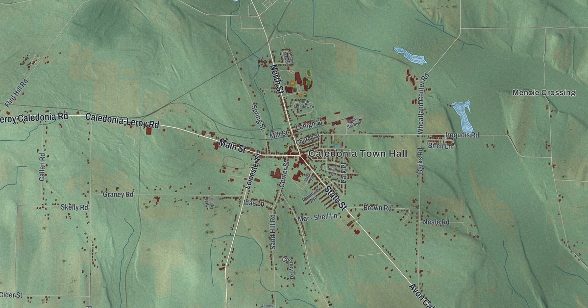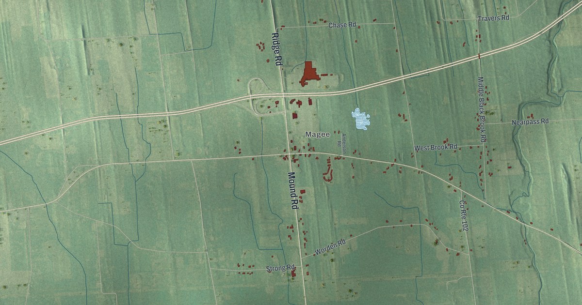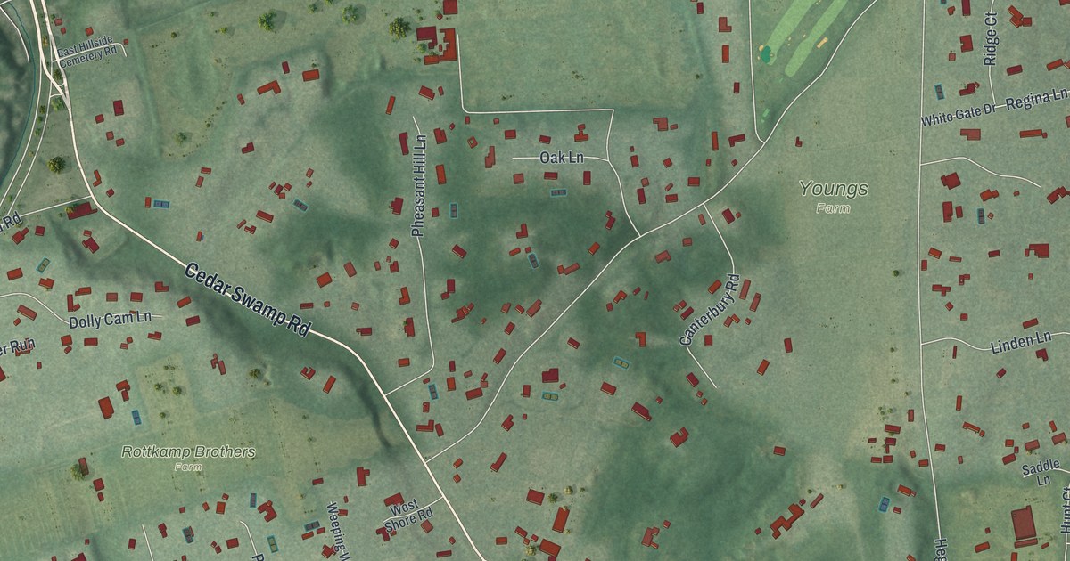
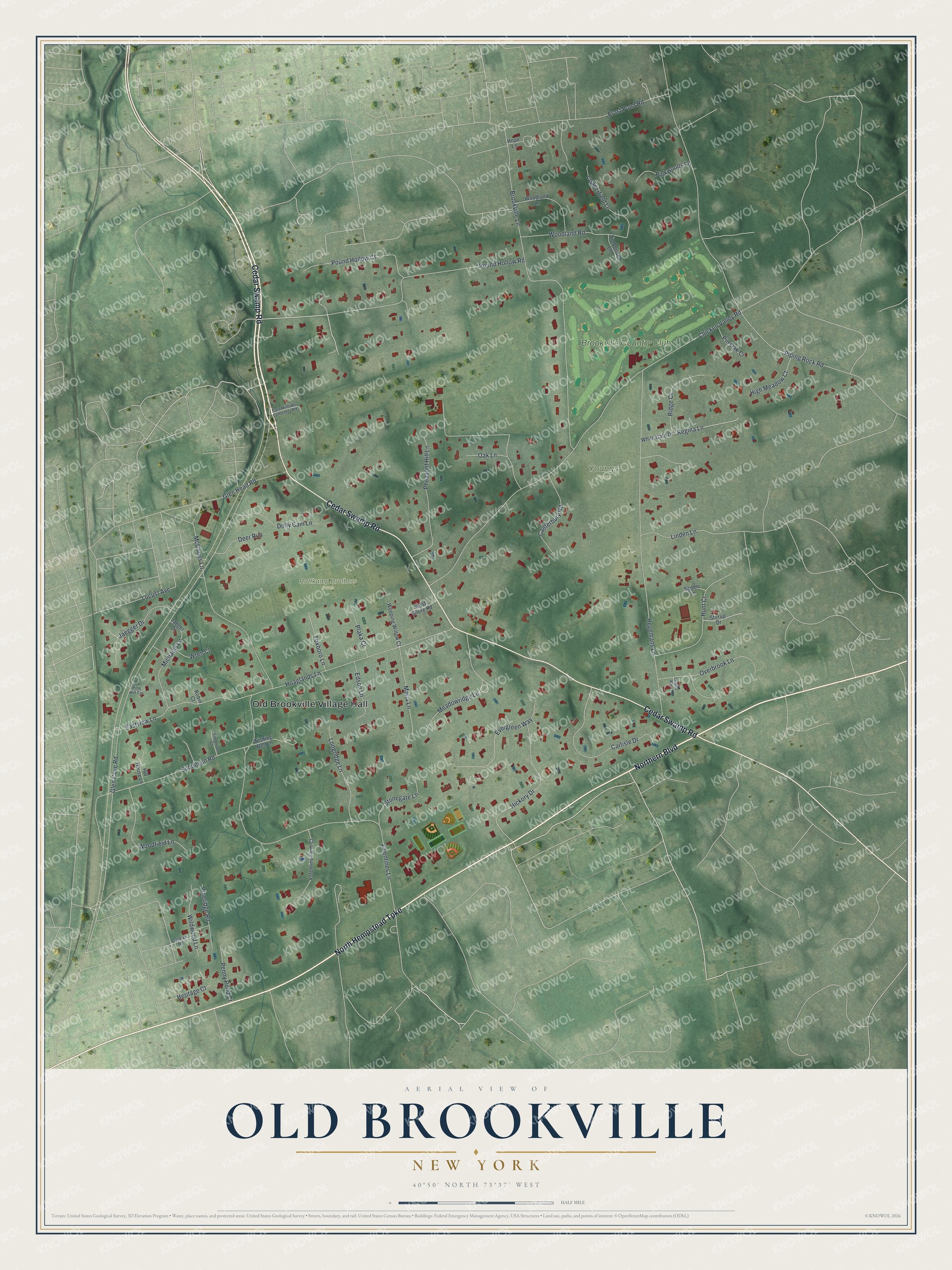
This beautifully detailed map of Old Brookville, New York was created in 2026 using aerial imagery combined with modern topographical, census, street and landmark data. It's a modern aerial view of Old Brookville in Nassau County, New York, that combines modern data with a vintage aesthetic. The roads feature printed names, and if you look closely you can find your exact house accurately shown in its correct location.
Explore an aerial view of Old Brookville, New York
On this map you'll find Old Brookville Village Hall, Rottkamp Brothers Farm, Youngs Farm, Brookville Country Club, Cedar Swamp Road, North Hempstead Turnpike, Northern Boulevard, Pound Hollow Road, Meadowridge Lane, Glen Cove Road, Chicken Valley Road, Piping Rock Road, and more. Each red shape is a building, so zoom in on the preview and look for yours.
Old Brookville is a village in Nassau County. The Census Bureau counted 2,020 people here in 2020. Old Brookville sits about 2 miles east of Glenwood Landing, 2 miles northeast of Greenvale and 2 miles southwest of Matinecock. The map prints the town name in its title panel, with the coordinates below it.
Take a closer look at the Old Brookville map
Names on this map
These names are printed on this map.
Places: Old Brookville Village Hall, Rottkamp Brothers Farm, Youngs Farm and Brookville Country Club.
Streets and roads: Cedar Swamp Road, North Hempstead Turnpike, Northern Boulevard, Pound Hollow Road, Meadowridge Lane, Glen Cove Road, Chicken Valley Road, Piping Rock Road, Valentines Lane, Brookville Lane, Hegemans Lane, Simonson Road.
More street names, A to Z
Canterbury Road, Carlisle Drive, Carman Road, Charles Way, Copperfield Lane, Deer Run, Dolly Cam Lane, East Hillside Cemetery Road, Eastview Lane, Edson Lane, Evergreen Way, Foxboro Lane, Frost Pond Road, Glen Head Road, Heritage Court, Hickory Drive, High Meadow Court, Hill House Lane, Hoaglands Lane, Hope Lane, Hunt Court, Jaeger Drive, Jaegger Drive, Linden Lane, Locust Avenue, Longridge Lane, Maria Lane, McCouns Lane, Michaels Lane, Oak Lane, Overbrook Lane, Penny Pond Court, Pheasant Hill Lane, Pine Hill Terrace, Pineridge Road, Pinkwoods Lane, Pin Oak Court, Plaka Court, Pound Hollow Court, Regina Lane, Ridge Court, Robin Court, Saddle Lane, Simonson Court, Stirrup Drive, Stonegate Lane, Timberland Lane, Valentine Farm Court, Weeping Willow Court, West Shore Road, White Gate Drive, Wildwood Lane, Wishing Well Lane, Woodfield Lane, Woodland Lane, Woodland Road, Wren Court.
See it on a wall
The Old Brookville map as a framed print. Swipe for more.


Created by KNOWOL in 2026. The buildings are small red shapes, the roads carry their printed names, and shaded relief shows the shape of the land. The title panel reads "AERIAL VIEW OF OLD BROOKVILLE, NEW YORK" with 40°50' NORTH 73°37' WEST.
It suits a den, a classroom or a front hall, and it makes a gift for anyone with Old Brookville roots. Open the preview and find the block you know. See sizes and frames for the Old Brookville map.