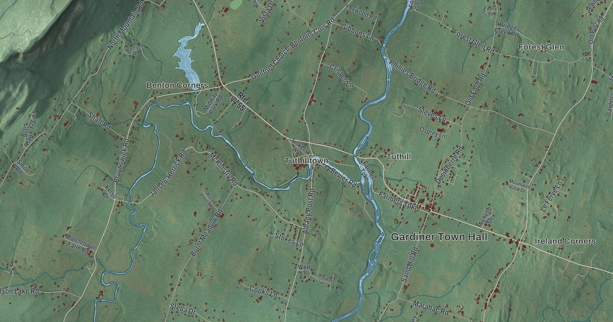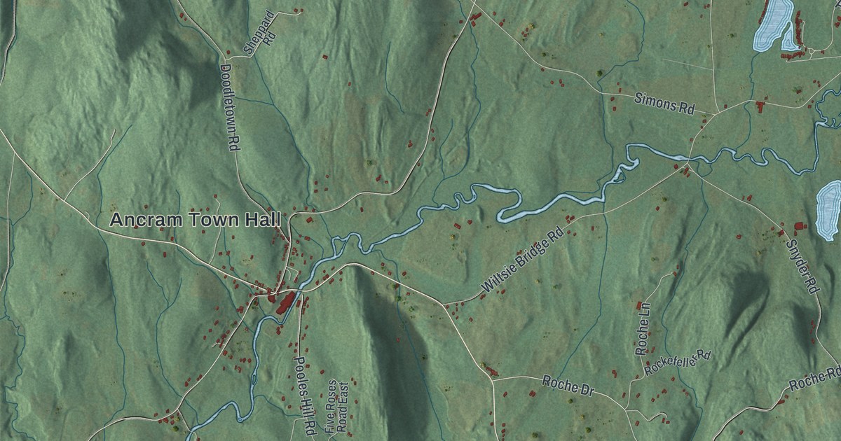
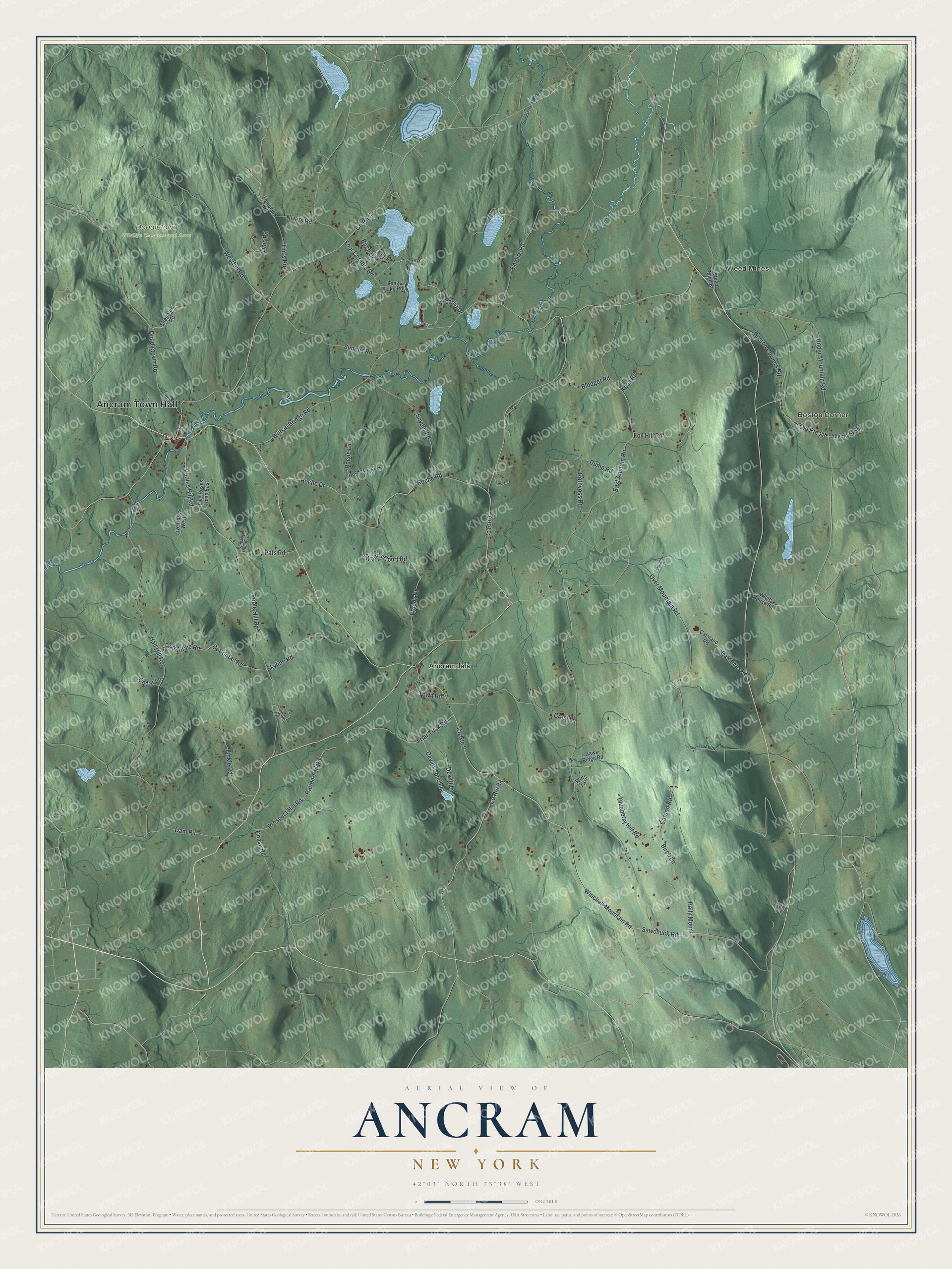
This beautifully detailed map of Ancram, New York was created in 2026 using aerial imagery combined with modern topographical, census, street and landmark data. It’s a one-of-a-kind view of Ancram that combines accurate data with a vintage aesthetic. The map shows every building in its true location, many of the roads carry their names, and the shaded topographic relief shows the shape of the land.
Explore an aerial view of Ancram, New York
On the map you’ll find Ancram Town Hall, Weed Mines, Boston Corner, Ancramdale, and Doodletown Wildlife Management Area, along with Winchell Mountain Road, Sawchuck Road, Wiltsie Bridge Road, Boston Corners Road, and more. If you look closely you can even find your house accurately drawn in its correct location. Zoom in on the preview to look for yours.
Did You Know?
The Livingston family’s iron forge in Ancram made shot and cannonballs for the Revolution. In 1776 it also made the huge Fort Montgomery Chain, stretched across the Hudson River near West Point to stop British ships. On October 6, 1777, the British attacked the forts by land instead of testing the chain.
Take a closer look at the Ancram map
Names on this map
These names are printed on this map.
Places: Ancram Town Hall, Weed Mines, Boston Corner, Doodletown Wildlife Management Area and Ancramdale.
Streets and roads: Winchell Mountain Road, Sawchuck Road, Wiltsie Bridge Road, County Route 8, Boston Corners Road, County Route 3, Over Mountain Road, Pooles Hill Road, Woods Drive, Cottontail Road, Cottontale Road, Poole Hill Road.
More street names, A to Z
Altenburg Road, Arcadia Drive, Bally Mount, Birch Drive, Birch Lane, Blodget Road, Blueberry Hill Road, Carson Road, Catalano Road, Catalinas Road, Cedar Lane, Chase Road, County Route 7, Crest Lane, Dam Road, Dewitt Lane, Dewitt Pond Lane, Doodletown Road, Dump Road, East Ancram Road, Elm Lane, Empire Road, Finkle Road, Five Roses Road East, Five Roses West, Four Corners Road, Fox Hill Road, Friar Tuck Road, Hall Hill Road, Hawk Ridge Road, Jennifer Road, Kens Road, Lollipop Lane, Long Lake Road, Maple Lane, Nivers Road, Old Route 22, Pats Road, Prospect Hill Road, Rabbit Tail Road, Roche Drive, Roche Lane, Roche Road, Rockefeller Road, Rothvoss Road, Sheppard Road, Simons Road, Skyline Road, Smokey Hollow Lane, Snyder Road, Tim's Road, Tims Road, Tompkins Road, Town Road, Under Mountain Road, Weed Mine Road, Westfall Road, White House Road, Witts Lane, Woodlawn Road, Woods Court Road.
See it on a wall
The Ancram map as a framed print. Swipe for more.


This beautifully detailed map of Ancram makes an attractive addition to your office, library, or den, and it can even be used to teach children the geography and history of the area. It also makes a great gift for anyone with Ancram roots. When you’re done exploring, click here to get your copy of the Ancram map.