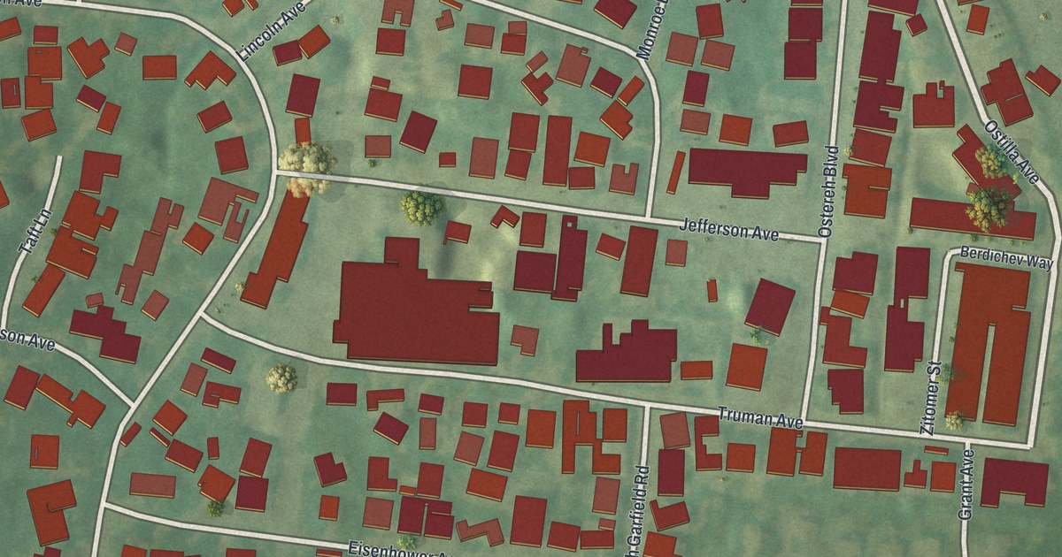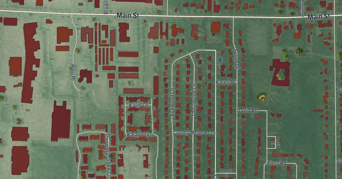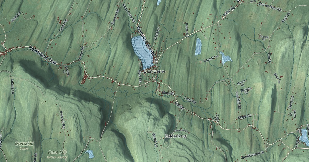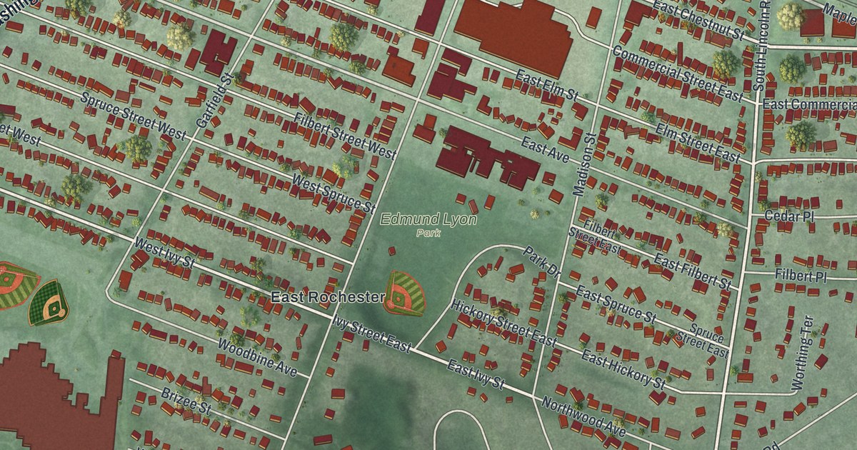
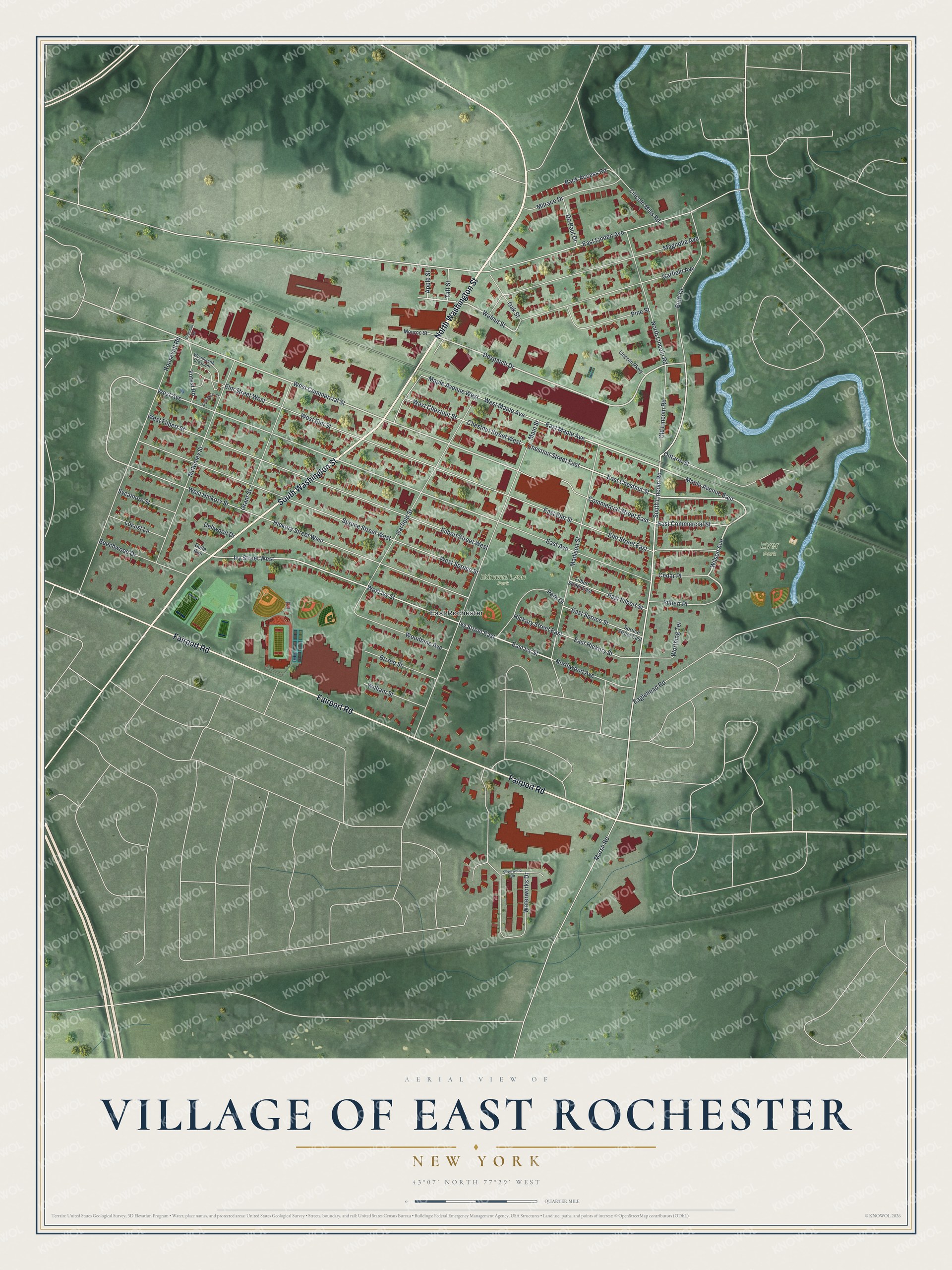
This beautifully detailed map of the Village of East Rochester, New York was created in 2026 using aerial imagery combined with modern topographical, census, street and landmark data. It’s a one-of-a-kind view of the Village of East Rochester that combines accurate data with a vintage aesthetic. The map shows every building in its true location, many of the roads carry their names, and the shaded topographic relief shows the shape of the land.
Explore an aerial view of the Village of East Rochester, New York
On the map you’ll find Eyer Park and Edmund Lyon Park, along with Washington Street, Fairport Road, Lincoln Road, Chestnut Street, Maple Avenue, and more. If you look closely you can even find your house accurately drawn in its correct location. Zoom in on the preview to look for yours.
Did You Know?
East Rochester began in 1897 as the village of Despatch. It was a planned community built around the New York Central main line. Its homes housed workers at Merchants Despatch and the Aeolian Piano Corporation. In 1906 it took the name East Rochester to show how close it was to the city.
Take a closer look at the Village of East Rochester map
Names on this map
These names are printed on this map.
Places: Eyer Park, Edmund Lyon Park and East Rochester.
Streets and roads: North Washington Street, South Washington Street, Fairport Road, North Lincoln Road, Chestnut Street East, East Chestnut Street, Maple Avenue East, Wilson Avenue, Despatch Drive, South Lincoln Road, East Ivy Street, Ivy Street East.
More street names, A to Z
Apple Street, Back Access Road, Beechwood Drive, Bluff Drive, Brizee Street, Cedar Place, Chestnut Street West, Commercial Street East, Crosman Terrace, Della Run, Dellwood Drive, De Paul Drive, Eaglehead Road, East Avenue, East Commercial Street, East Elm Street, East Filbert Street, East Hickory Street, East Linden Avenue, East Maple Avenue, East Spruce Street, Elm Street East, Elm Street West, Filbert Place, Filbert Street East, Filbert Street West, Forest Road, Garfield Avenue, Garfield Street, Grant Street, Greenbriar Court, Hickory Street East, Hickory Street West, Ivy Street West, Lincoln Mills Road, Lincoln Parkway, Locust Lane, Madison Street, Magnolia Avenue, Main Street, Maple Avenue West, Marsh Road, McKinley Street, Milrace Drive, Monroe Street, Northwood Avenue, Oak Street, Old Lincoln Road, Ontario Street, Park Drive, Pine Street, Roosevelt Road, Silverwood Circle, Spruce Street East, Spruce Street West, Sycamore Street, Taft Street, Walnut Street, Waterworks Drive, West Avenue, West Chestnut Street, West Commercial Street, West Elm Street, West Filbert Street, West Hickory Street, West Ivy Street, West Maple Avenue, West Spruce Street, William Street, Woodbine Avenue, Woodneath Crescent, Worthing Terrace.
See it on a wall
The East Rochester map as a framed print. Swipe for more.


This beautifully detailed map of the Village of East Rochester makes an attractive addition to your office, library, or den, and it can even be used to teach children the geography and history of the area. It also makes a great gift for someone who left the Village of East Rochester and still calls it home. When you’re done exploring, click here to get your copy of the Village of East Rochester map.