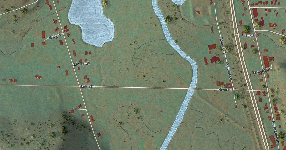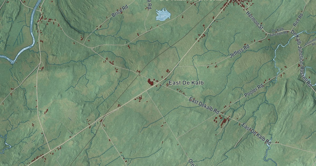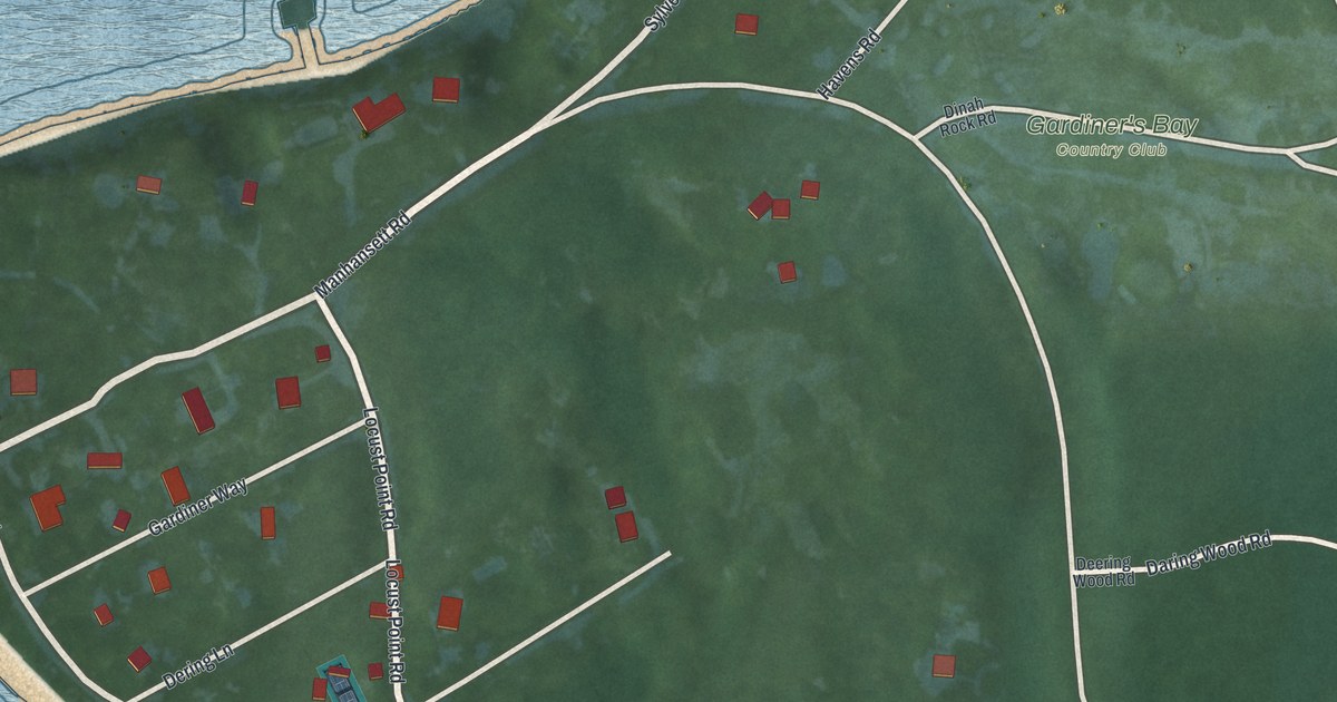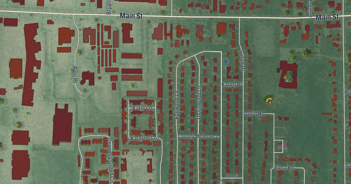
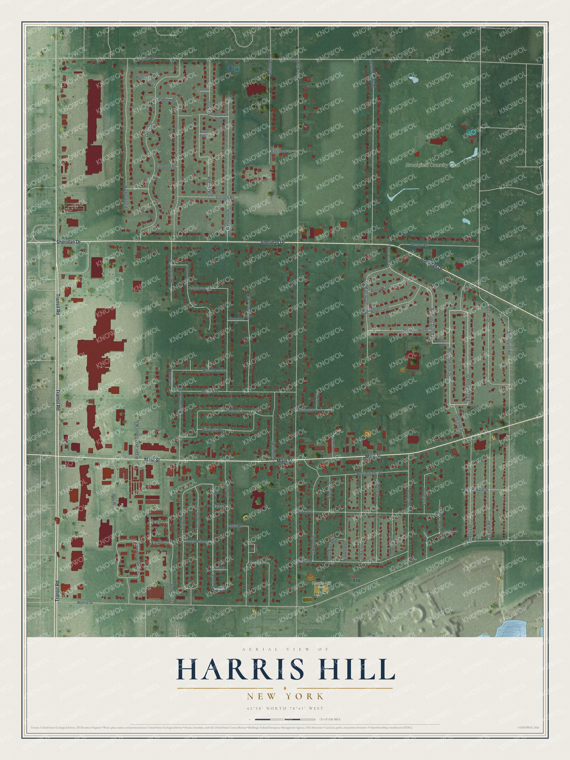
This beautifully detailed map of Harris Hill, New York was created in 2026 using aerial imagery combined with modern topographical, census, street and landmark data. It’s a one-of-a-kind view of Harris Hill that combines accurate data with a vintage aesthetic. The map shows every building in its true location, many of the roads carry their names, and the shaded topographic relief shows the shape of the land.
Explore an aerial view of Harris Hill, New York
On the map you’ll find Transit Road, Main Street, Sheridan Drive, Ledge Lane, Clardon Drive, and more. If you look closely you can even find your house accurately drawn in its correct location. Zoom in on the preview to look for yours.
Did You Know?
Harris Hill took its name from Asa Harris, an officer in the colonial army. He kept a tavern at the crest of a low hill northeast of Buffalo. The tavern became a stop on the Underground Railroad. Freedom seekers slipped under Main Street through limestone caves and came out in a swampy forest.
Take a closer look at the Harris Hill map
Names on this map
These names are printed on this map.
Places: Harris Hill Park and Brookfield Country Club.
Streets and roads: Transit Road, Main Street, Sheridan Drive, Ledge Lane, Clardon Drive, Boncrest Drive East, East Overlook Drive, West Overlook Drive, Thornwood Lane, Harris Hill Road, Shimerville Road, Wehrle Drive.
More street names, A to Z
Anfield Road, Arondale Road, Auto Place, Bittersweet Lane, Boncrest Drive West, Boncrest Road, Bonview Terrace, Brentwood Drive, Brightwood Road, Bryant and Stratton Way, Cameron Road, Christian Drive, Circle Court, Clearview Drive, Connection Drive, Country Meadows Lane, Coventry Green Circle, Darcy Lane, David Court, David Road, Donna Place, Eastbrooke Place, East Howard Drive, Eastmoor Lane, Elma Road, Ericson Drive, Fairfield Drive, Fireside Drive, Fox Trce, Foxwood Lane, Galbraith Road, Garrock Road, Gentwood Drive, Glenwood Drive, Greenbriar Road, Greiner Road, Heather Drive, Hedgewood Drive, Helenwood Drive, Hirschwood Drive, Howard Drive, Hunters Cv, James Court, Kalayne Lane, Karen Place, Katie Lane, Kimberly Road, Laura Lane, Meadowbrook Road, Merrihurst Drive, Nottingham Terrace, Oakwood Drive, Old Hickory Lane, Overlook Drive, Rebecca Drive, Red Tail Run, Reiser Road, Roxbury Drive, Sheridan Hill Drive, Silver Fox Court, South Fireside Drive, Stonegate Lane, Sunset Drive, Susan Drive, Trailing Drive, Vernon Circle, Vinewood Drive, Wenner Road, West Ledge Lane, West Susan Drive, Westwood Road, Wildwood Drive.
See it on a wall
The Harris Hill map as a framed print. Swipe for more.


This beautifully detailed map of Harris Hill makes an attractive addition to your office, library, or den, and it can even be used to teach children the geography and history of the area. It also makes a great gift for anyone who grew up in Harris Hill or moved away. When you’re done exploring, click here to get your copy of the Harris Hill map.