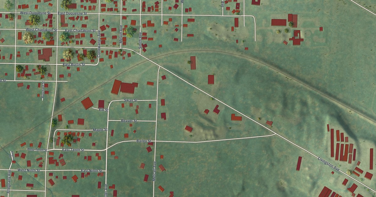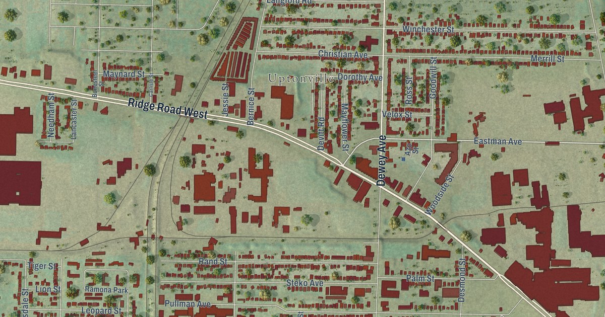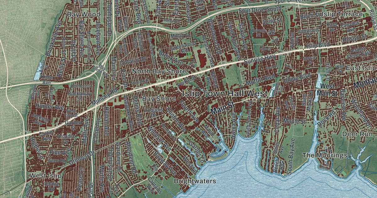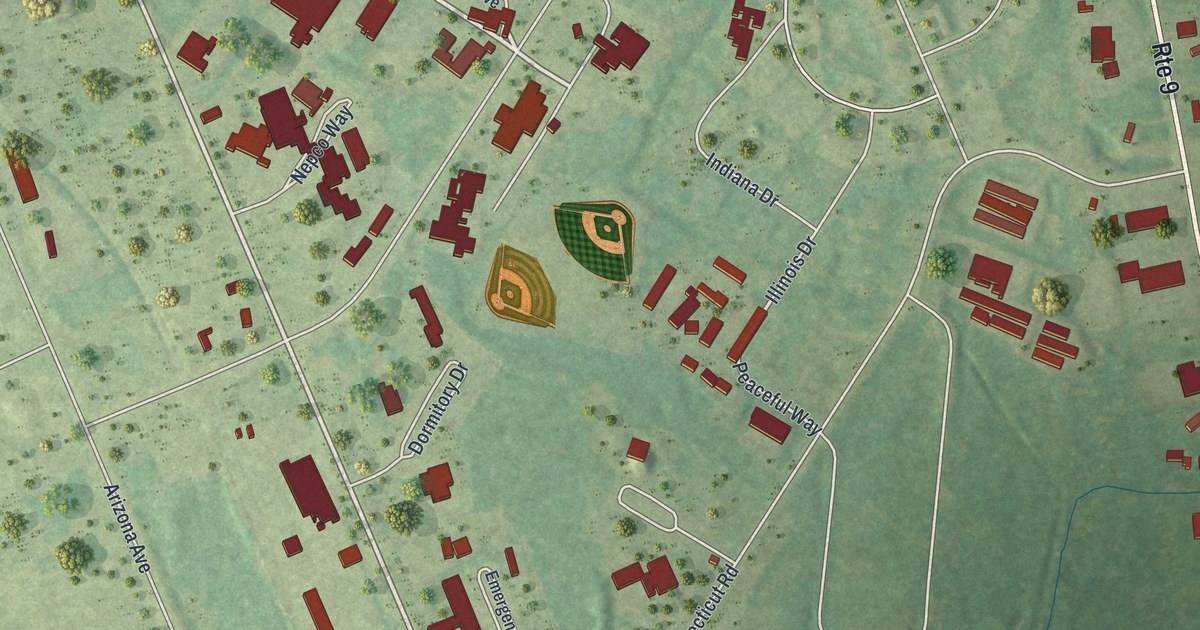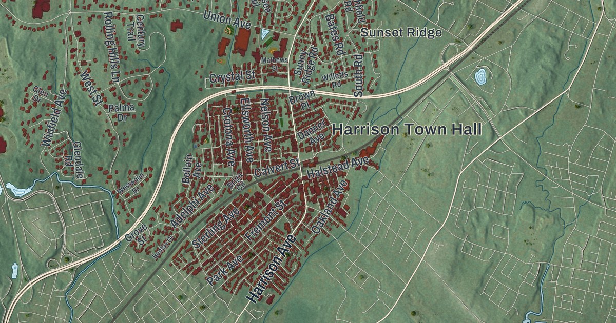
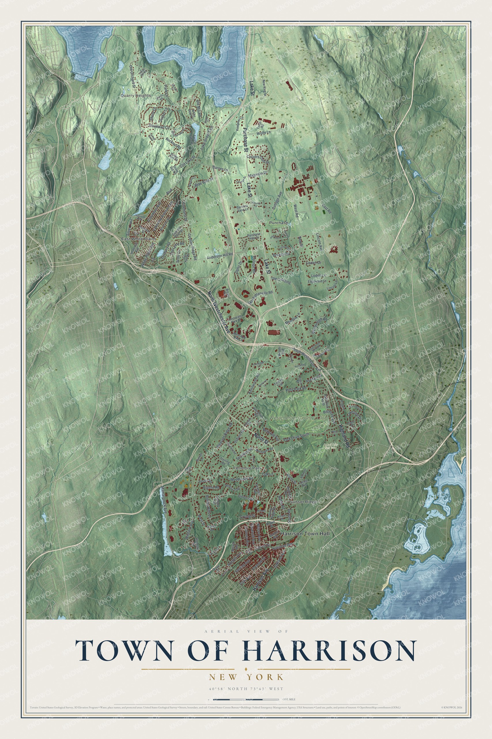
This beautifully detailed map of the Town of Harrison, New York was created in 2026 using aerial imagery combined with modern topographical, census, street and landmark data. It’s a one-of-a-kind view of the Town of Harrison that combines accurate data with a vintage aesthetic. The map shows every building in its true location, many of the roads carry their names, and the shaded topographic relief shows the shape of the land.
Explore an aerial view of the Town of Harrison, New York
On the map you’ll find Harrison Town Hall, Quarry Heights, East White Plains, Fenmore Park, Purchase, and Sunset Ridge, along with Westchester Avenue, North Street, Harrison Avenue, Purchase Street, and more. If you look closely you can even find your house accurately drawn in its correct location. Zoom in on the preview to look for yours.
Did You Know?
The rail line that is now Metro-North’s New Haven Line reached Harrison in 1848. Yet the town had no station until 1870. Until then, riders in Harrison waved the train down to get aboard. Harrison also stayed mostly free of factories while its neighbors filled with them.
Take a closer look at the Town of Harrison map
Names on this map
These names are printed on this map.
Places: Harrison Town Hall, Quarry Heights, Apawamis Golf Club, East White Plains, Fenmore Park, Purchase, Sunset Ridge, Westchester Country Club and Silver Lake.
Streets and roads: North Westchester Avenue, North Street, Harrison Avenue, Purchase Street, Lake Street, Highland Road, Anderson Hill Road, Columbus Avenue, South Westchester Avenue, Boulevard, Mamaroneck Avenue, East Road.
More street names, A to Z
Adelphi Avenue, Augusta Court, Avery Court, Barnes Lane, Bates Road, Bellain Avenue, Bellevue Avenue, Bentay Drive, Beverly Road, Biltmore Avenue, Boxwood Lane, Brae Burn Drive, Briga Circle, Brown Place, Bryant Avenue, Buckout Road, Burns Road, Calvert Street, Carriage Hill Road, Century Ridge Road, Century Trail, College Road, Convent Lane, Corporate Park Drive, Cottage Avenue, Country Club Drive, Crotona Avenue, Crystal Street, Cypress Point Drive, Danner Avenue, Duxbury Road, Edgewood Lane, Ellsworth Avenue, Fairway Drive, Flagler Drive, Forest Lake Drive, Forrest Lake Drive, Franklin Lane, Fremont Street, Genesee Trail, Glendale Road, Glen Drive, Glen Park Road, Golden Pond Road, Grove Street, Halstead Avenue, Harrison Boulevard, Harrison Street, Harrows Lane, Haviland Road, Highfield Road, High Street, Hilltop Place, Horton Court, Indian Hill Road, Ironwood Lane, Justin Road, Kempner Lane, Kenilworth Lane, Kenilworth Road, Knightsbridge Manor Road, Lakeside Drive, Lake Street East, Lakeview Avenue East, Lincoln Avenue, Lincoln Lane, Linden Drive, Locust Avenue, Loden Lane, Love Lane, Magnolia Drive, Manhattanville Road, Mathews Street, Meadow Lane, Mount Holly Drive, Muchmore Road, Nelson Avenue, New King Street, New Street, Oakland Avenue, Oak Lane, Oak Street, Old Lake Street, Old Lyme Road, Old Mill Road, Old Orchard Street, Ophir Drive, Orchard Drive, Osborn Road, Palma Drive, Park Avenue, Park Drive North, Park Drive South, Park Lane, Pheasant Drive, Pilgrim Road, Pinehurst Drive, Pineview Circle, Pleasant Ridge Road, Polly Park Road, Ponds Lane, Purchase Hills Drive, Puritan Road, Quaker Lane, Rigene Road, Rockledge Road, Rolling Hills Lane, Sarosca Farm Lane, Scott Circle, Seneca Trail, Shelly Lane, South Road, Sterling Avenue, Sterling Road, Stonewall Circle, Stony Hill Road, Stratford Road, Sunny Ridge Road, Sunset Lane, The Crossing, Timber Trail, Tower Road, Underhill Avenue, Union Avenue, Wendover Road, Westchester Avenue, Westerleigh Road, West Red Oak Lane, West Road, West Street, Westwood Drive, White Deer Lane, White Plains Avenue, Willetts Road, Winfield Avenue, Wolfe Lane, Woodlands Road, Woods End, Woodside Avenue.
See it on a wall
The Harrison map as a framed print. Swipe for more.


This beautifully detailed map of the Town of Harrison makes an attractive addition to your office, library, or den, and it can even be used to teach children the geography and history of the area. It also makes a great gift for anyone who grew up in the Town of Harrison or moved away. When you’re done exploring, click here to get your copy of the Town of Harrison map.