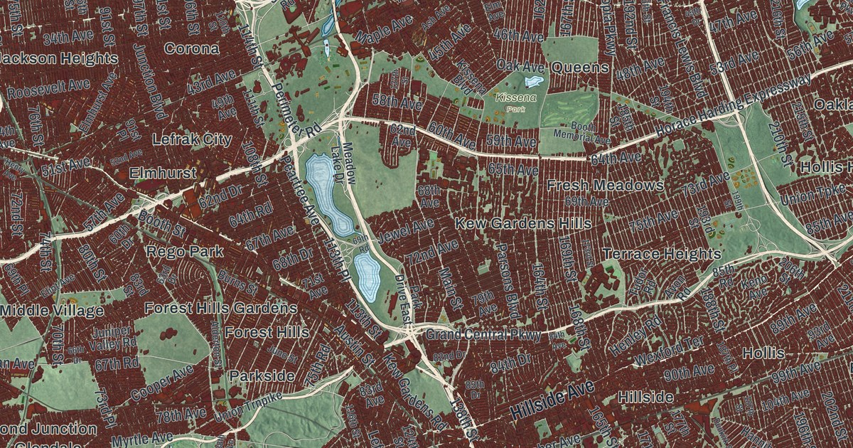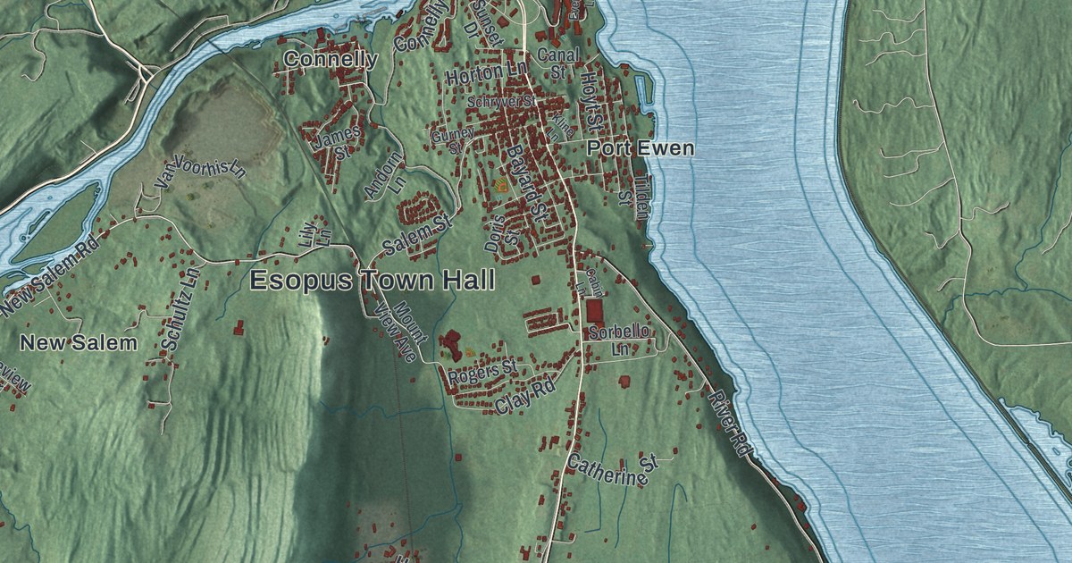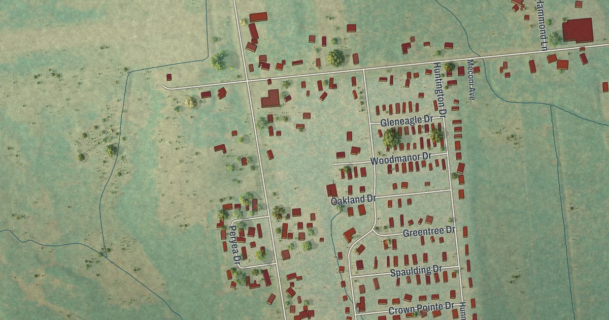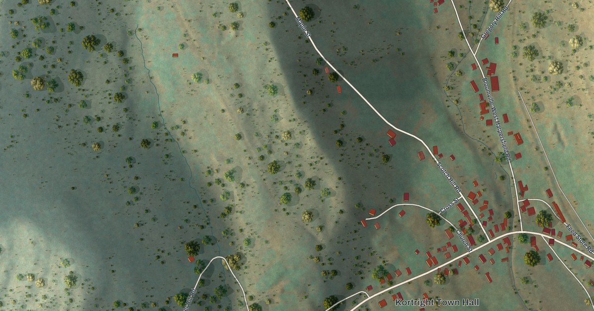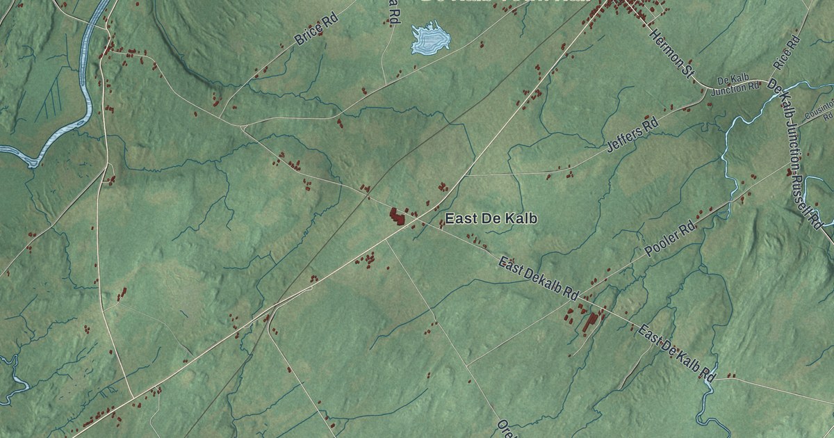
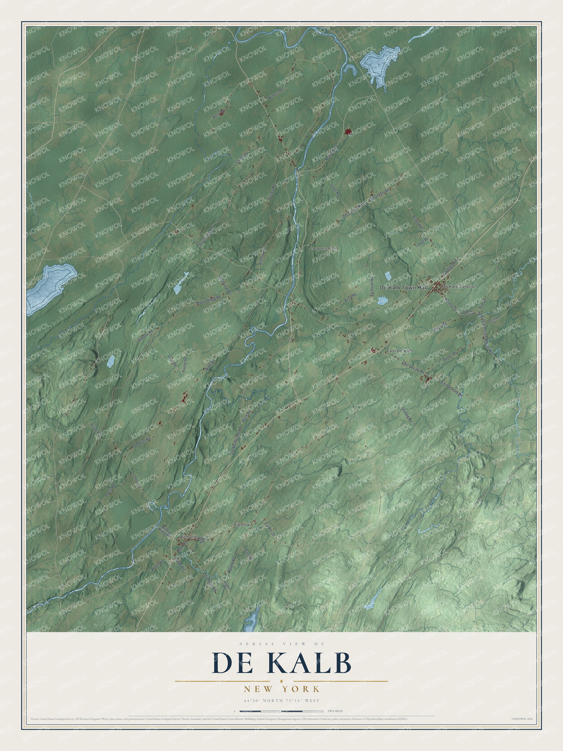
This beautifully detailed map of De Kalb, New York was created in 2026 using aerial imagery combined with modern topographical, census, street and landmark data. It’s a one-of-a-kind view of De Kalb that combines accurate data with a vintage aesthetic. The map shows every building in its true location, many of the roads carry their names, and the shaded topographic relief shows the shape of the land.
Explore an aerial view of De Kalb, New York
On the map you’ll find De Kalb Town Hall, Bigelow, Coopers Falls, De Kalb Junction, East De Kalb, and Richville, along with Hermon Street, De Kalb Junction-Russell Road, De Kalb Road, Welch Road, and more. If you look closely you can even find your house accurately drawn in its correct location. Zoom in on the preview to look for yours.
Did You Know?
The town honors Baron de Kalb, a German officer who served as an American general under George Washington. Settlement began in June 1803. Judge William Cooper of Cooperstown led that first party. DeKalb was organized in 1806 as one of the county’s original ten towns.
Take a closer look at the De Kalb map
Names on this map
These names are printed on this map.
Places: De Kalb Town Hall, Bigelow, Coopers Falls, De Kalb Junction, East De Kalb and Richville.
Streets and roads: Hermon Street, De Kalb Junction-Russell Road, East De Kalb Road, Welch Road, River Road, Maple Ridge Road, Old Northerner Road, Stevenson Road, Childs Road, Ritchie Road, Old Canton Road, Old Dekalb Road.
More street names, A to Z
Boland Road, Brayton Road, Brice Road, Bush Road, Colton Road, County Route 20, Cousintown Road, De Kalb Junction Road, Depot Street, East Dekalb Road, Ells Road, Gore Road, Hayden Road, Hitchcock Road, Ideauma Road, Jeffers Road, Jenkins Road, Kelly Road, Limekiln Road, Lobdell Road, Main Street, McAdoo Road, Old State Road, Orebed Road, Phelps Road, Pooler Road, Privat Road, Putney Road, Reese Road, Rice Road, Richville Bridge Road, Risley Road, Sayer Road, Streeter Road, Winters Road.
See it on a wall
The De Kalb map as a framed print. Swipe for more.


This beautifully detailed map of De Kalb makes an attractive addition to your office, library, or den, and it can even be used to teach children the geography and history of the area. It also makes a great gift for anyone who grew up in De Kalb or moved away. When you’re done exploring, click here to get your copy of the De Kalb map.