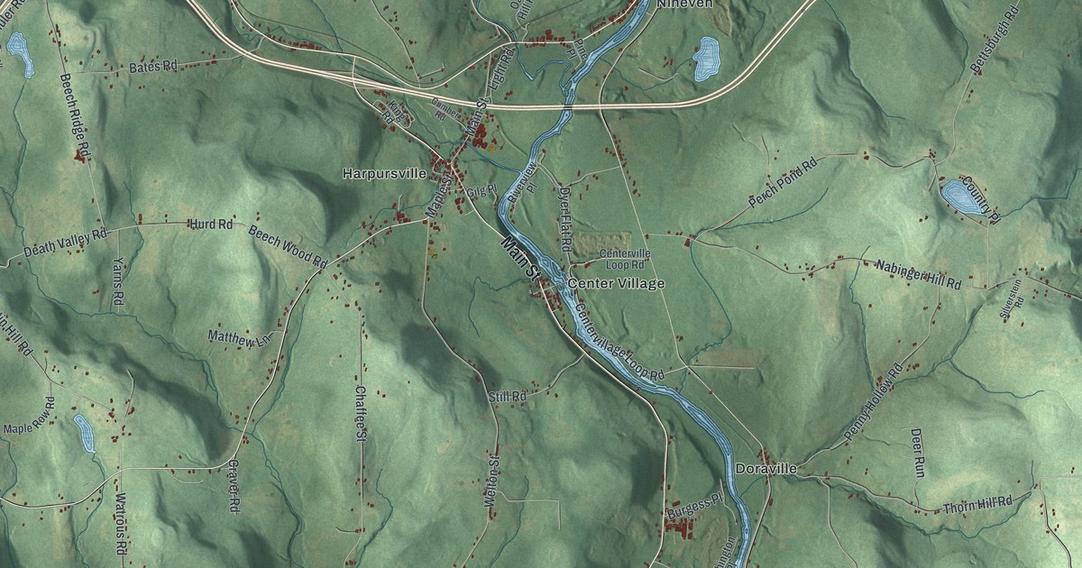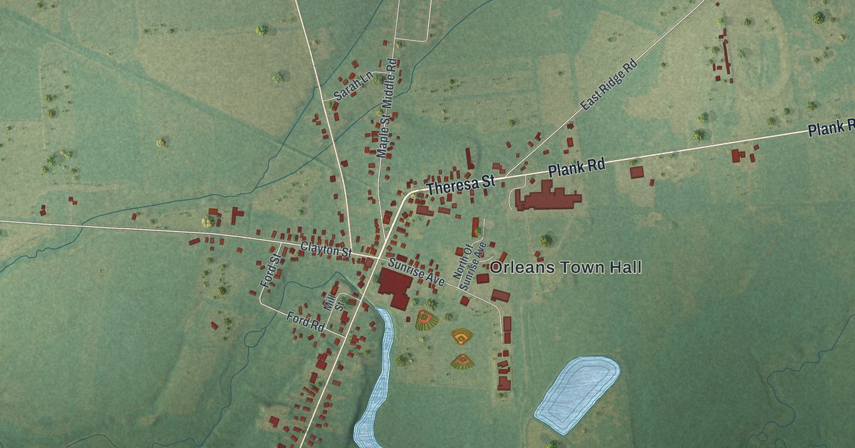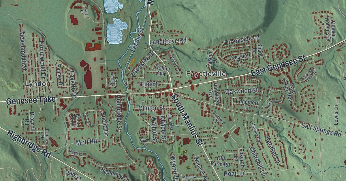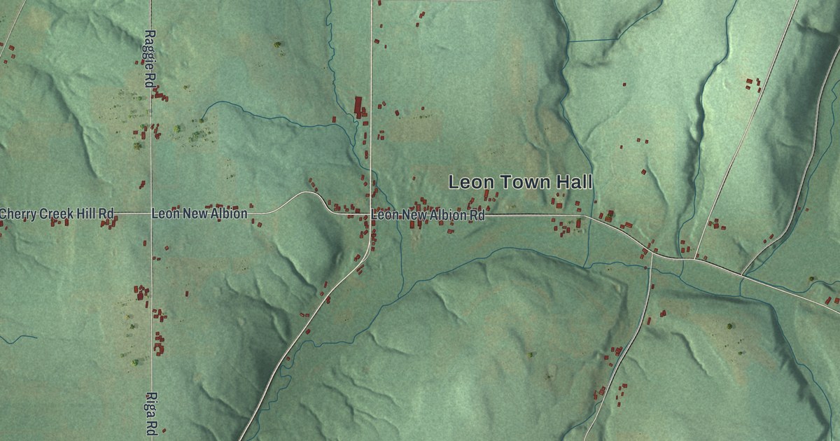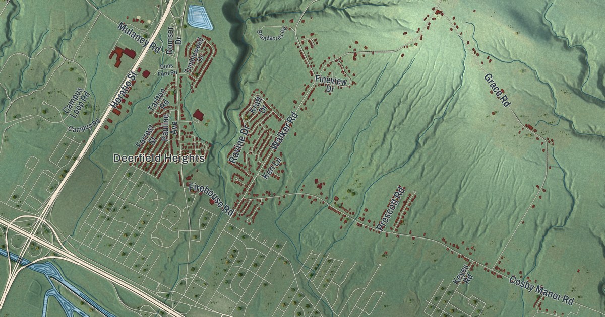
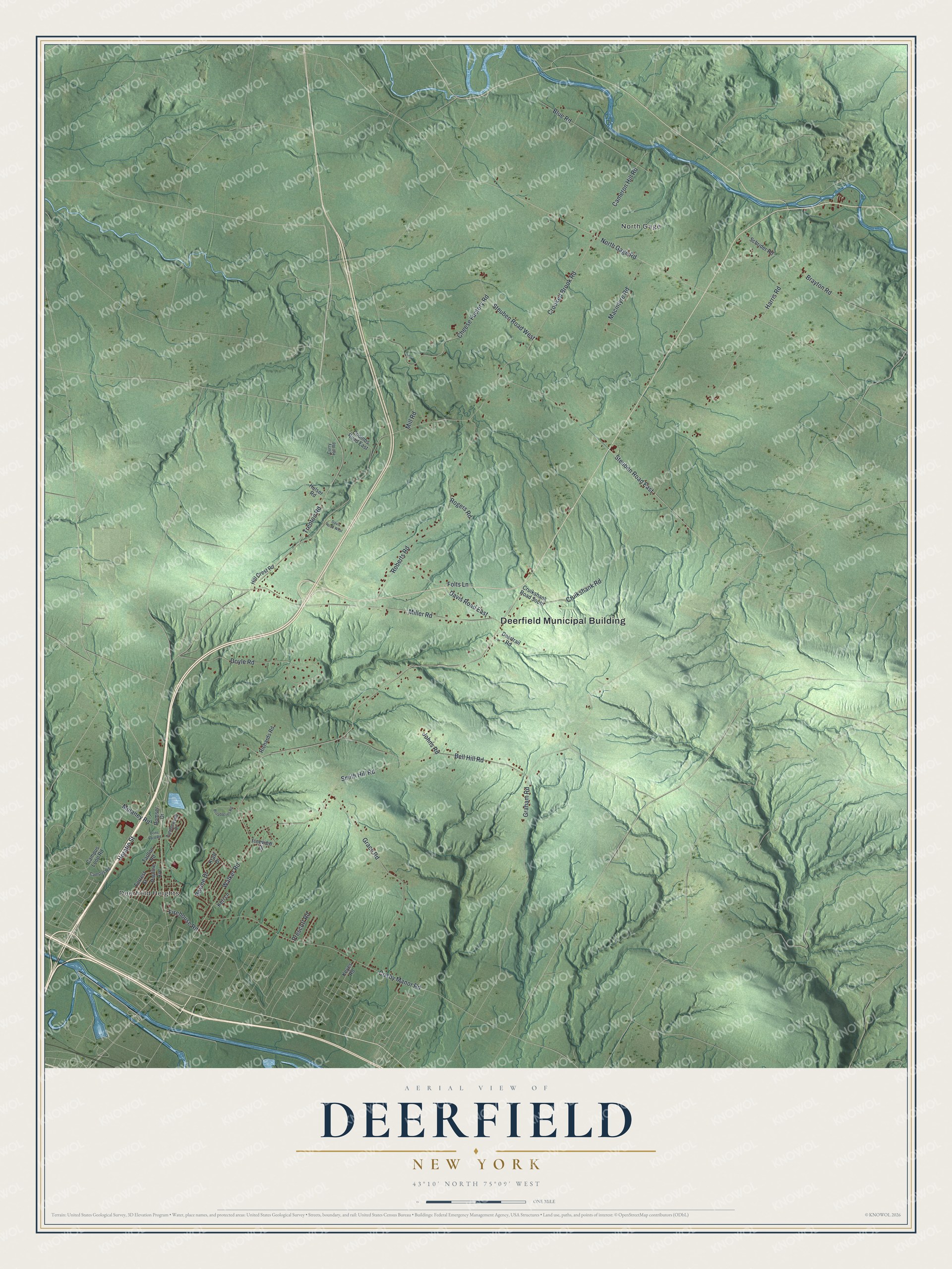
This beautifully detailed map of Deerfield, New York was created in 2026 using aerial imagery combined with modern topographical, census, street and landmark data. It’s a one-of-a-kind view of Deerfield that combines accurate data with a vintage aesthetic. The map shows every building in its true location, many of the roads carry their names, and the shaded topographic relief shows the shape of the land.
Explore an aerial view of Deerfield, New York
On the map you’ll find Deerfield Municipal Building, Deerfield Heights, and North Gage, along with Walker Road, Trenton Road, Bell Hill Road, Cameron Hill Road, and more. If you look closely you can even find your house accurately drawn in its correct location. Zoom in on the preview to look for yours.
Did You Know?
Walter D. Edmonds set his 1936 novel Drums Along the Mohawk among settlers on the New York frontier of the 1700s. Its heroes leave a comfortable home to clear a small farm in Deerfield. In the 1939 film, Henry Fonda and Claudette Colbert played the two main characters.
Take a closer look at the Deerfield map
Names on this map
These names are printed on this map.
Places: Deerfield Municipal Building, Deerfield Heights and North Gage.
Streets and roads: Walker Road, Trenton Road, Bell Hill Road, Cameron Hill Road, Cruikshank Road, Crooked Brook Road, North Gage Road, Harris Road, Miller Road, Steuben Road East, Cosby Manor Road, Roberts Road.
More street names, A to Z
Blue Road, Brayton Road, Broadacres Road, Campus Loop Road, Campus Road, Cheese Factory Road, Coombs Road East, Cruikshank Road South, Curry Hill Road, Davis Road East, Davis Road West, Deertrail Road, Domser Drive, Dons Ford Road, Doyle Road, Fineview Drive, Firehouse Road, Folts Lane, Forrest Street, Grace Road, Graham Road, Hill Crest Road, Horatio Street, Hulser Road, Johns Road, Keri Lane, Keyes Road, Kraft Drive, Macintyre Road, Mill Road, Mulaney Road, Pauline Avenue, Prescott Road, Ravine Drive, Richards Road, Rogers Road, Schrider Road, Smith Hill Road, Steuben Road West, Tarlton Road, Tumbleweed Drive.
See it on a wall
The Deerfield map as a framed print. Swipe for more.


This beautifully detailed map of Deerfield makes an attractive addition to your office, library, or den, and it can even be used to teach children the geography and history of the area. It also makes a great gift for anyone with Deerfield roots. When you’re done exploring, click here to get your copy of the Deerfield map.