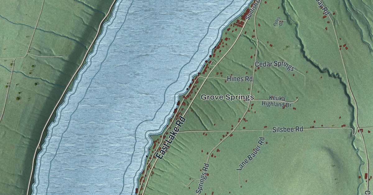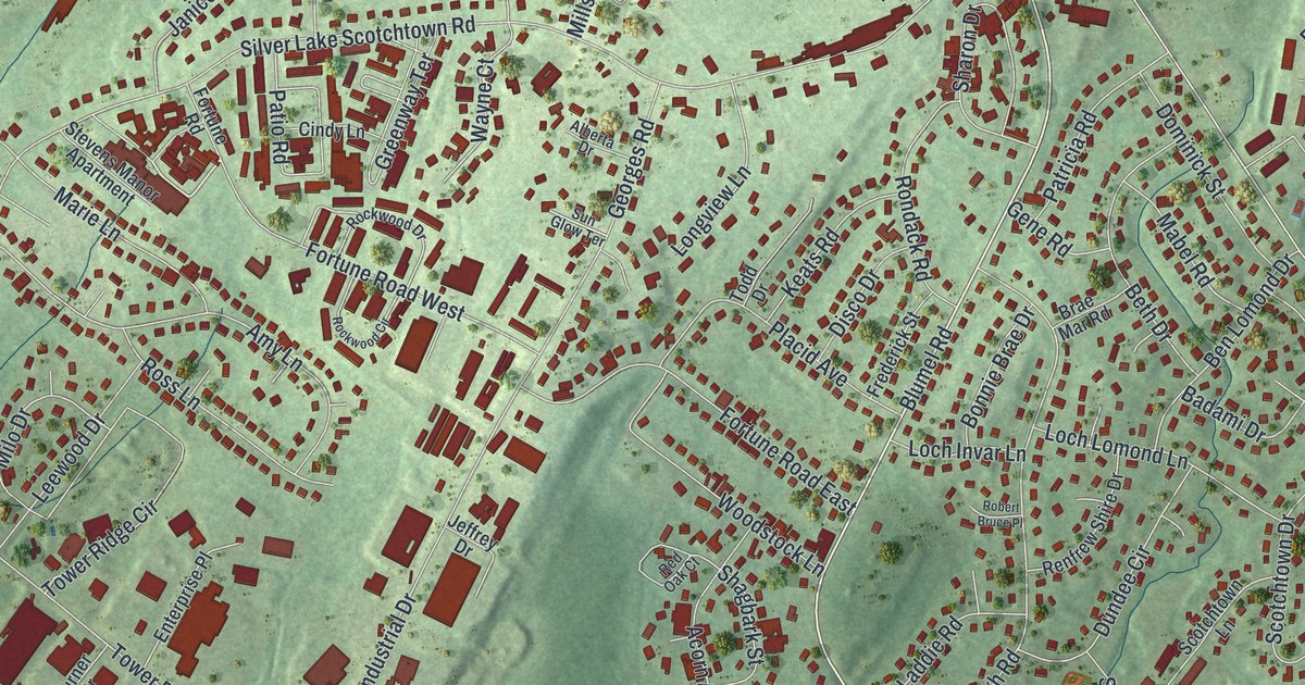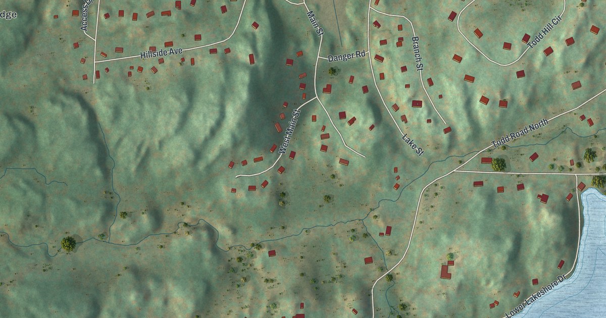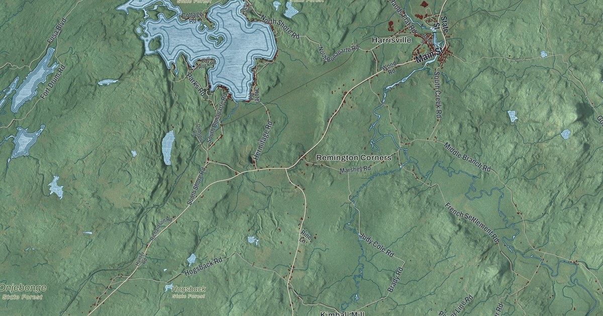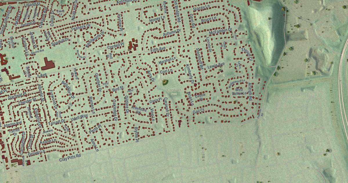
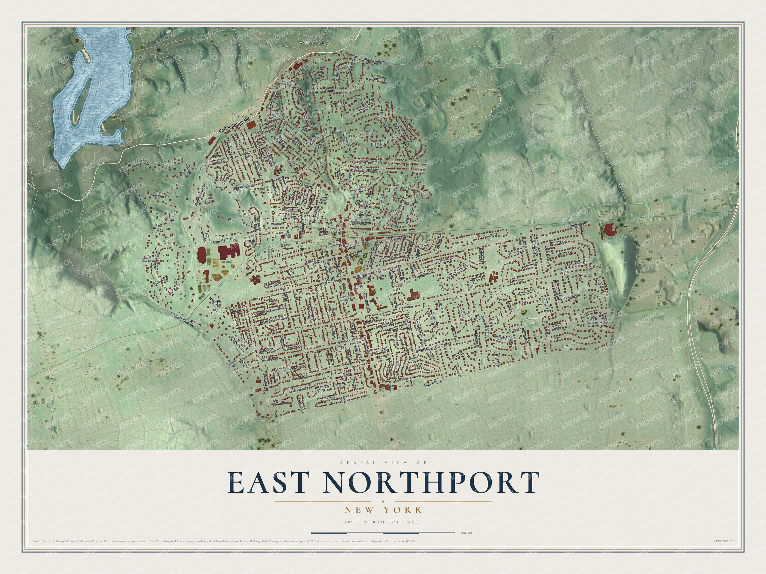
This beautifully detailed map of East Northport, New York was created in 2026 using aerial imagery combined with modern topographical, census, street and landmark data. It’s a one-of-a-kind view of East Northport that combines accurate data with a vintage aesthetic. The map shows every building in its true location, many of the roads carry their names, and the shaded topographic relief shows the shape of the land.
Explore an aerial view of East Northport, New York
On the map you’ll find Vernon Valley and Caravan Park, along with Fort Salonga Road, First Street, Bellerose Avenue, Pulaski Road, Clay Pitts Road, and more. If you look closely you can even find your house accurately drawn in its correct location. Zoom in on the preview to look for yours.
Did You Know?
In 1873 the Long Island Rail Road moved its Northport station to Larkfield, so the line could reach Port Jefferson. The station kept the Northport name. Conductors called it East of Northport, since it sat east of the junction. That name stuck, and the Larkfield Post Office became East Northport in 1910.
Take a closer look at the East Northport map
Names on this map
These names are printed on this map.
Places: Vernon Valley and Caravan Park.
Streets and roads: Fort Salonga Road, 2 Avenue, First Street South, 4 Street, Bellerose Avenue, 5 Avenue, Pulaski Road, Clay Pitts Road, Fifth Avenue, Elwood Road, Vernon Valley Road, Stony Hollow Road.
More street names, A to Z
3 Street, 4 Avenue, 5 Street, Acorn Drive, Allen Place, Allerton Avenue, Alma Lane, Alsace Place, Ambrose Lane, Arcy Drive, Ardendale Road, Arleigh Road, Ashland Place, Ashwood Court, Atlantic Street, Autumn Drive, Barnes Lane, Barry Drive, Baylor Place, Belknap Drive, Bellafiore Drive, Bellecrest Avenue, Bird Street, Blythe Place, Brian Lane, Brightside Avenue, Brittany Court, Bruce Lane, Caravan Drive, Carll Place, Carlson Lane, Carrington Drive, Casey Lane, Catalpa Drive, Catherine Street, Catherine Street South, Cayuga Avenue, Cedar Hill Drive, Celia Lane, Cherry Court, Cherry Street, Cheshire Place, Chester Street, Christine Lane, Circle Drive, Clare Drive, Clarke Drive, Clive Place, Clover Lane, Cordell Place, Cori Lane, Cornell Street, Corral Lane, Crest Drive, Cullen Drive, Cynthia Lane, Dartmoor Drive, Dawn Drive, Daywood Court, Deland Street, Deposit Road, Diane Court, Dickinson Avenue, Dot Court, Drew Place, Dunton Court, Eighth Avenue, Ellington Drive, Elm Drive, Esther Place, Fairlee Drive, Fifth Street, First Avenue, First Street, First Street North, Forest Drive, Fourth Avenue, Fourth Street, Franklin Avenue, Furwood Drive, Gail Court, Garfield Place, Georgia Street, Gerri Road, Gildare Drive, Grand Place, Grant Street, Green Acres Lane, Grover Lane, Gunther Drive, Guthrie Court, Hanley Place, Harborview Drive, Harding Street, Harrison Drive, Harrison Woods Court, Heath Lane, Hewitt Square, Honey Lane, Howard Court, Hull Place, Imperial Court, Iris Court, Irma Lane, Irving Johnson Street, Irvinlee Place, Jameson Court, Jasmine Lane, Jeanne Place, Kalmia Street, Kathy Court, Keane Lane, Kenilworth Drive, Ketchum Court, Kew Avenue, Kimber Court, Kimberly Drive, Larkfield Road, Laurel Avenue, Laurel Court, Laurel Hill Road, Laurel Road, Leland Street, Leonard Drive, Lester Court, Lewis Avenue, Lewis Court, Lincoln Drive, Lipson Court, Locust Place, Loret Lane, Lorraine Court, Louisa Court, Lynn Avenue, Madsen Lane, Maplewood Drive, Markham Place, Marshall Lane, McFadden Drive, Melrose Avenue, Middleville Road, Milmohr Court, Monmouth Court, Monmouth Drive, Montauk Avenue, Montrose Lane, Montvale Court, Ninth Avenue, Normandy Drive, North 1, North 2, North Hill Drive, Norton Drive, Oakland Avenue, Oakledge Drive, Oasis Place, Old Bridge Road, Old Pine Lane, Oleander Drive, Orton Drive, Owen Court, Oxbow Court, Pacific Place, Patrician Drive, Pauline Place, Perth Place, Pike Court, Pine Drive, Pine Hill Court, Pocket Court, Polk Avenue, Ray Place, Ridgewood Street, Ripley Drive, Rocco Drive, Roosevelt Avenue, Rowena Lane, Rowley Drive, Salisbury Drive North, Sandy Hollow Road, Saratoga Avenue, Scholar Court, Second Avenue, Second Place, Second Street, Second Street North, Second Street South, Selden Drive, Seneca Street, Seventh Avenue East, Seventh Avenue West, Seventh Street, Sheffield Lane, Sixth Avenue West, Sixth Street, Soundview Avenue, South Gate, Sparkill Drive, Spruce Drive, Squire Avenue, Stacey Lane, Stacy Street, Stony Hollow Court, Stoothoff Road, Suffolk Place, Sunrise Court, Surrey Lane, Sycamore Place, Talcott Drive, Teaneck Drive, Tenth Avenue, Terrace Drive, Third Avenue, Third Street, Thrush Court, Tobey Place, Toga Court, Tompkins Street, Topland Place, Townline Road, Udell Way, Upland Drive, Valley Road, Vernon Place, Vine Lane, Warren Court, Wave Place, Wedgewood Lane, Wells Road, West Dalton Lane, West Point Drive, Wheeler Place, White Oak Court, White Pine Lane, Wilson Street, Windgate Drive, Windsor Lane, Woody Lane.
See it on a wall
The East Northport map as a framed print. Swipe for more.


This beautifully detailed map of East Northport makes an attractive addition to your office, library, or den, and it can even be used to teach children the geography and history of the area. It also makes a great gift for anyone with East Northport roots. When you’re done exploring, click here to get your copy of the East Northport map.