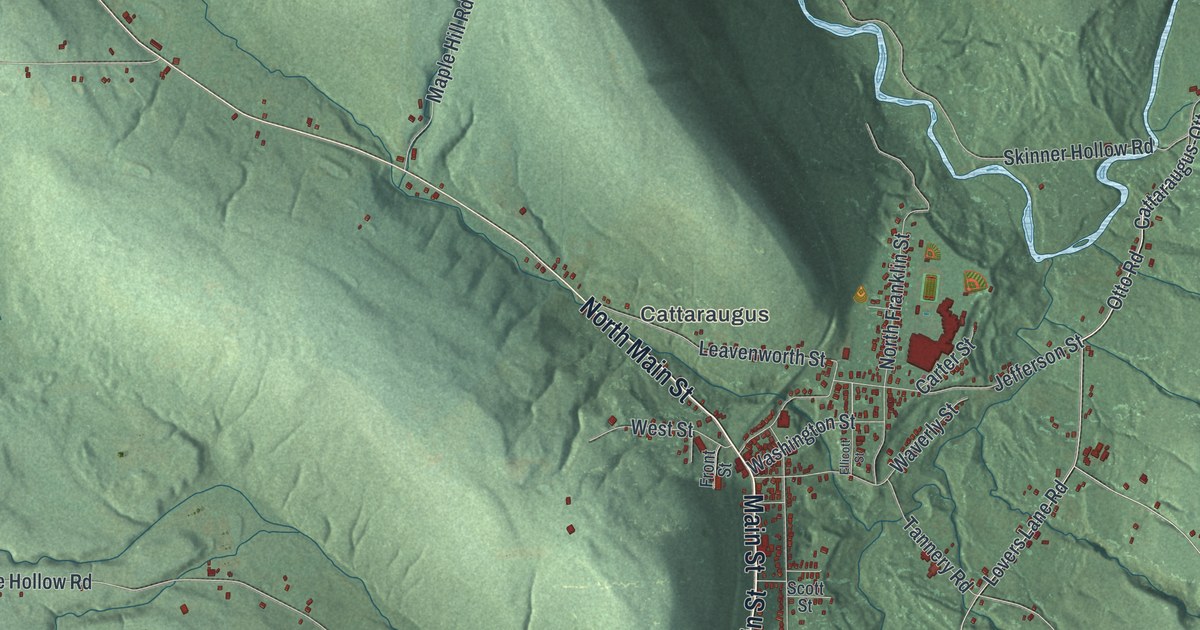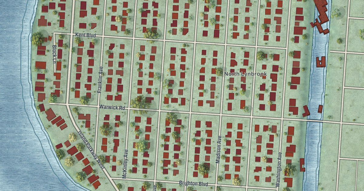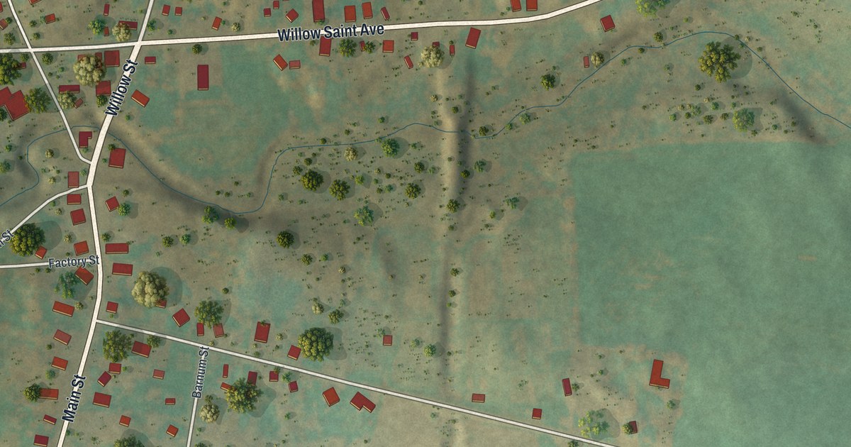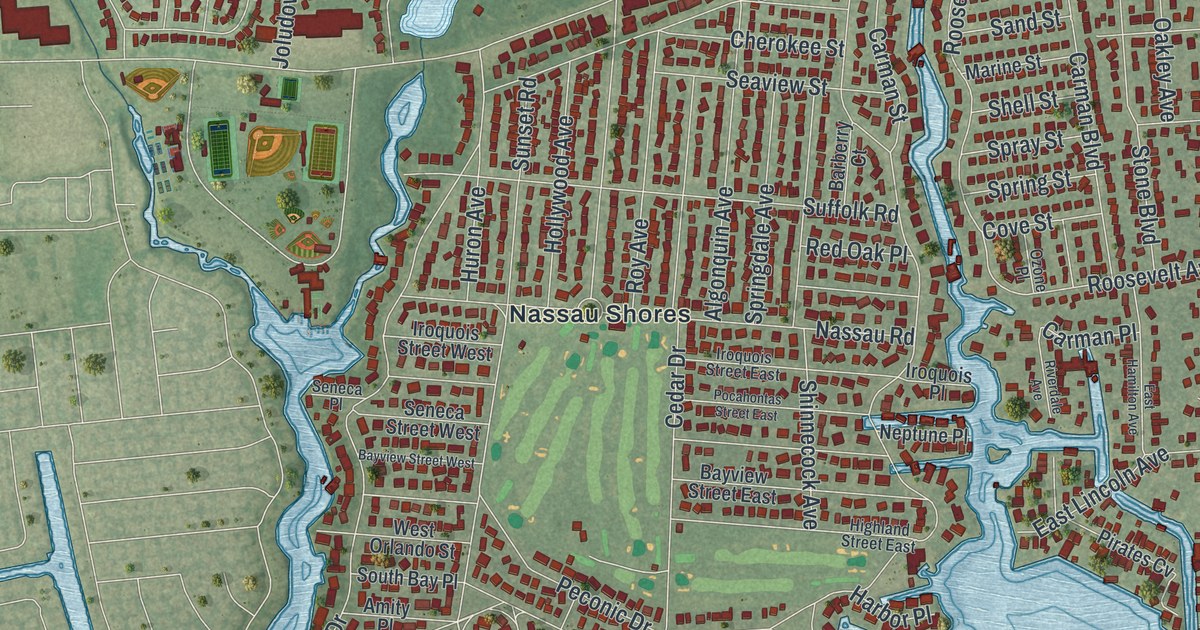
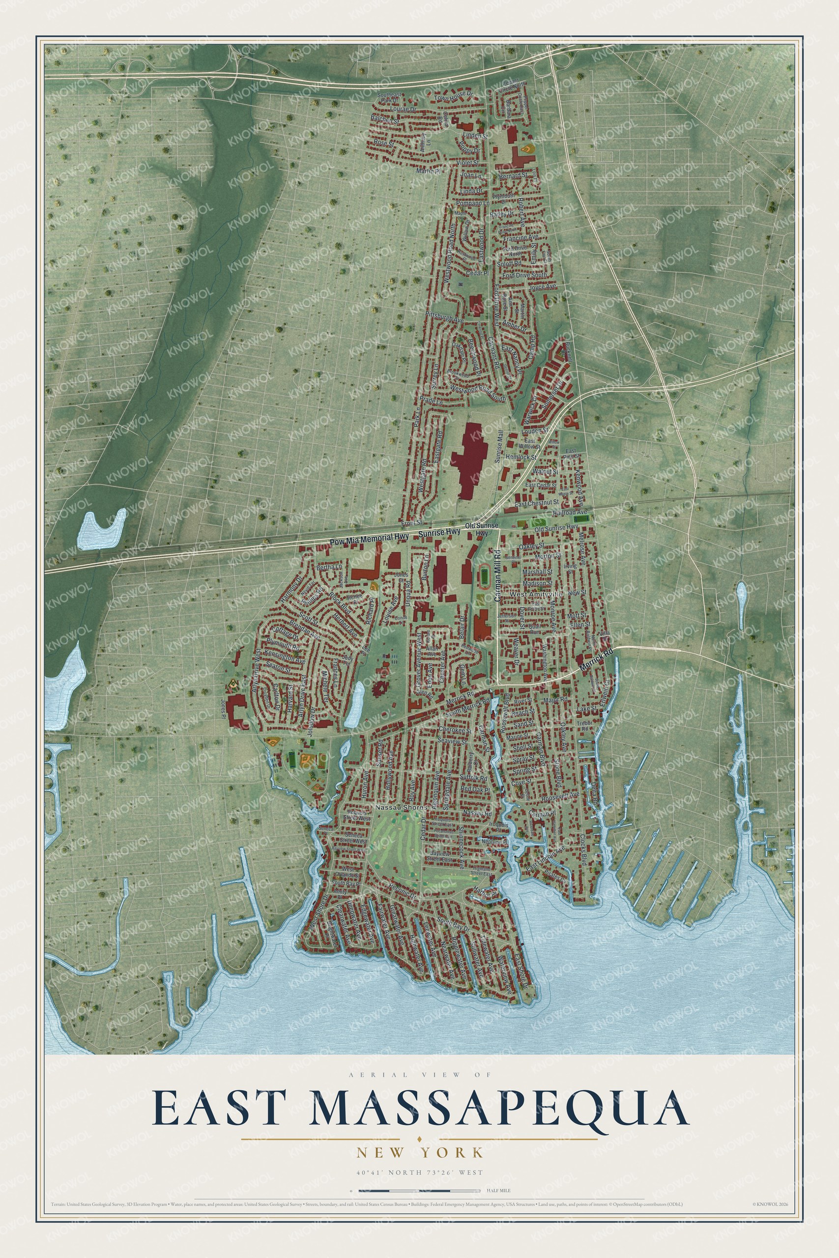
This beautifully detailed map of East Massapequa, New York was created in 2026 using aerial imagery combined with modern topographical, census, street and landmark data. It’s a one-of-a-kind view of East Massapequa that combines accurate data with a vintage aesthetic. The map shows every building in its true location, many of the roads carry their names, and the shaded topographic relief shows the shape of the land.
Explore an aerial view of East Massapequa, New York
On the map you’ll find Nassau Shores and West Amityville, along with Carman Mill Road, Merrick Road, Sunrise Highway, Pow Mia Memorial Highway, Ripplewater Avenue, and more. If you look closely you can even find your house accurately drawn in its correct location. Zoom in on the preview to look for yours.
Take a closer look at the East Massapequa map
Names on this map
These names are printed on this map.
Places: Nassau Shores and West Amityville.
Streets and roads: Carman Mill Road, Merrick Road, Sunrise Highway, Pow Mia Memorial Highway, Ripplewater Avenue, Leewater Avenue, Clearwater Avenue, Old Sunrise Highway, Warwick Drive, Grover Avenue West, Erlwein Court, Edgewater Avenue.
More street names, A to Z
Algonquin Avenue, Allan Avenue, Amber Drive, Amity Place, Ann Rose Street, Anthony Lane, Arlyn Drive East, Arlyn Drive West, Bailey Drive, Balchen Street, Barbara Circle, Barberry Court, Bayview Street East, Bayview Street West, Beach Street, Beechwood Place, Belair Drive, Bernard Street, Bertha Lane, Block Boulevard, Brendan Avenue, Brightwater Place, Brookwood Drive, Bucknell Drive, Burton Lane, Camp Road, Carlton Drive, Carman Boulevard, Carman Place, Carmans Road, Carman Street, Cedar Drive, Cedar Place, Celina Road, Cherokee Street, Chester Avenue, Clocks Boulevard, Conde Lane, Cottage Drive, Cove Street, Croyden Drive, Deepwater Avenue, Delta Road, Denise Street, Dover Street, East Cedar Street, East Chestnut Street, Eastgate Road, East Grove Street, East Hamilton Avenue, East Lincoln Avenue, East Maple Street, East Nancy Place, East Pine Street, East Shore Drive, East Willow Street, Eastwood Drive, Eden Avenue, Ellen Street, Emily Street, Fairwater Avenue, Ford Drive North, Ford Drive South, Ford Drive West, Frances Lane, Francine Avenue, Francine Drive North, Front Street, Gem Lane, Glen Road, Greatwater Avenue, Harbor Place, Harmony Drive, Harvard Street, Hemlock Street, Herbert Avenue, Highland Street East, Highwater Avenue, Hollywood Avenue, Huron Avenue, Iroquois Place, Iroquois Street East, Iroquois Street West, Irving Street, Jackson Avenue, Jefferson Street, Joan Lane, Joludow Drive, Jones Court, Jones Place, Joyce Avenue, Judy Terrace, Kensington Avenue, Kenwood Avenue, Lake Street, Lee Place, Linda Drive, Linden Street, Linwood Place, Lois Place, Louden Street, Louise Avenue, Lourae Drive, Madison Street, Major Road, Maple Lane, Marine Street, Marshall Street, Martin Place, Martin Street, Melrose Avenue, Michele Terrace, Monroe Avenue, Morton Street, Mott Street, Nassau Road, Nearwater Avenue, Neptune Place, Nevin Terrace, New Street, North Baldwin Place, Oakdale Place, Oakley Avenue, Oakley Street, Ozone Place, Park Lane, Peconic Drive, Pepper Circle East, Pepper Circle North, Phillips Road, Pirates Cv, Pittsburgh Avenue, Plymouth Drive, Plymouth Road, Pocahontas Street East, Pompano Lane, Poppy Drive, Prade Lane, Quail Run, Railroad Avenue, Red Oak Place, Redwood Lane, Renee Place, Richard Court, Richard Place, Riverdale Avenue, River Street, Robert Avenue, Roosevelt Avenue, Roosevelt Boulevard, Rose Street, Roy Avenue, Rustwood Place, Sand Street, Scott Street, Seaton Street, Seaview Street, Seneca Place, Seneca Street West, Sentinel Place, Shell Street, Shinnecock Avenue, Soloff Road, Somerset Drive, South Baldwin Place, South Bay Drive, South Bay Place, Southeast Park Drive, South Fair Court, South Merrick Road, Spray Street, Springdale Avenue, Spring Street, Stillwater Avenue, Stone Boulevard, Suffolk Road, Sunrise Mall, Sunset Road, Surrey Lane, Tidewater Avenue, Town House Drive, Trebor Road, Unqua Road, Villa Drive, Violet Street, Walnut Street, Washington Avenue, Waterview Avenue, Weaver Drive, Westgate Road, West Orlando Street, West Shore Drive, Westwood Road North, Westwood Road South, Willow Drive, Willow Street.
See it on a wall
The East Massapequa map as a framed print. Swipe for more.


This beautifully detailed map of East Massapequa makes an attractive addition to your office, library, or den, and it can even be used to teach children the geography and history of the area. It also makes a great gift for anyone who grew up in East Massapequa or moved away. When you’re done exploring, click here to get your copy of the East Massapequa map.